Originally posted on X on 14 February 2024.


A most is a bridge; a můstek is still a bridge, but a smaller one.
In the 13th century, there was a bridge near here, leading from the Old Town fortifications across the moat that is now https://whatsinapraguestreetname.com/2024/09/22/prague-1-day-137-na-prikope/.
Also in the 13th century, there was a town near here called Havelské město (later incorporated into the Old Town, but getting its own post soon enough). And, on the north side of the bridge, there was a gate, appropriately called Havelská brána.
The street itself was created around 1330 as the principal access to Havelské město. It’s interesting that the name ‘Na můstku’ has been in use ever since, given that this was only one of thirteen gate-bridge combos in the Old Town fortifications.
Remains of the bridge were discovered in the 1970s, and can be seen if you go down to the metro station: https://cs.wikipedia.org/wiki/M%C5%AFstek_(stanice_metra)#/media/Soubor:M%C5%AFstek_oblouky.jpg
Na Můstku can be added to the list of streets that are pedestrianised now, but had trams until more recently than you’d think (the 1980s): https://www.blesk.cz/clanek/regiony-praha-praha-volny-cas/488285/tramvaj-z-muzea-na-mustek-chybi-podle-historika-mela-nenahraditelnou-roli.html
While Můstek – the metro station – was opened in 1978* and, of Prague’s three transfer stations, is the most used.
* Well, the green line was – the yellow line followed in 1985. Not much transferring before then.
And the street is rammed with tourists, trdelnik and supposed cannabis – but also with pleasing views in both directions.
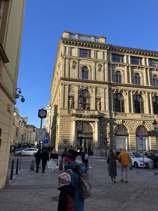
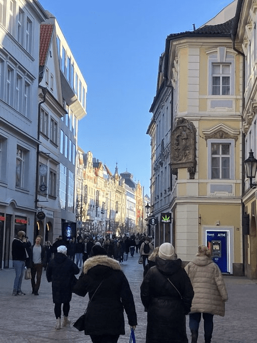
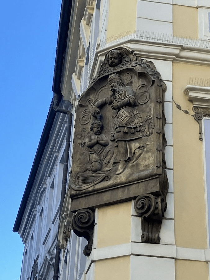
And even in tourist central, you can look up at the buildings and see various pieces of art that are much more interesting than the shops below them.

#/media/Soubor:M%C5%AFstek_oblouky.jpg)
Leave a comment