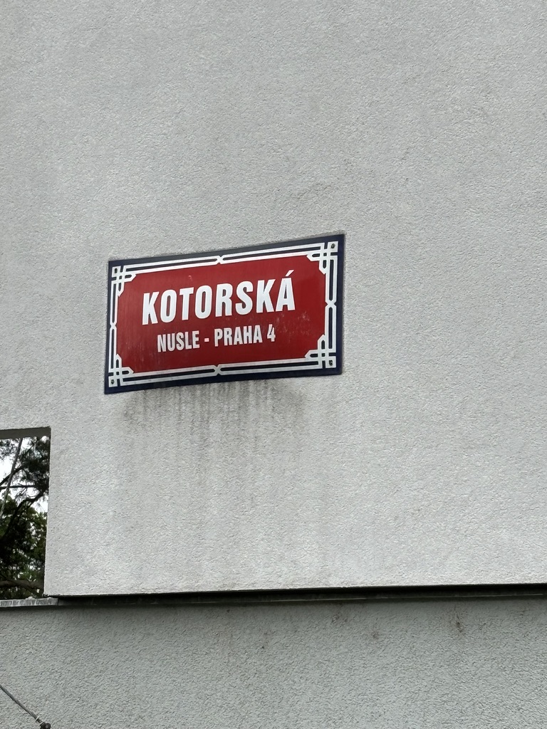
Kotorská was built in 1968.
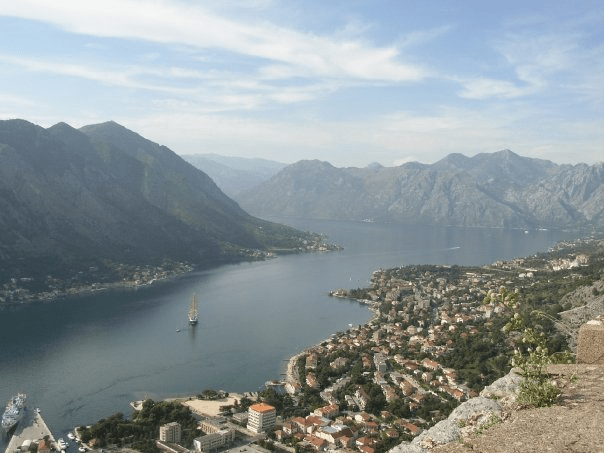
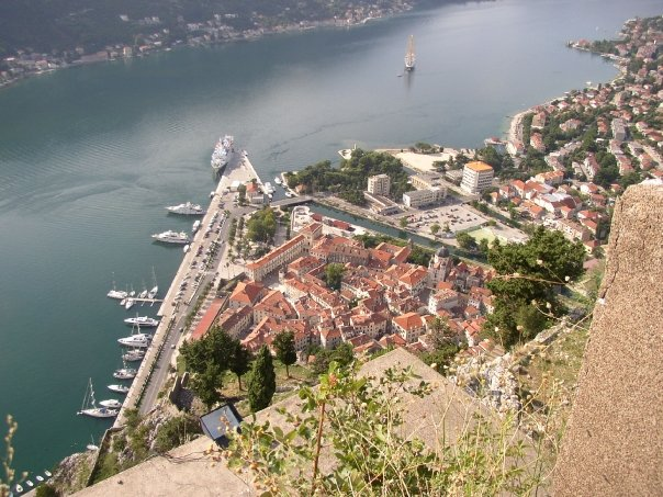
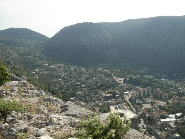
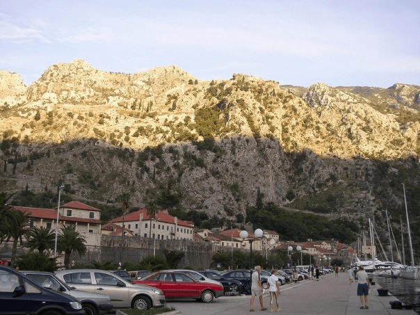
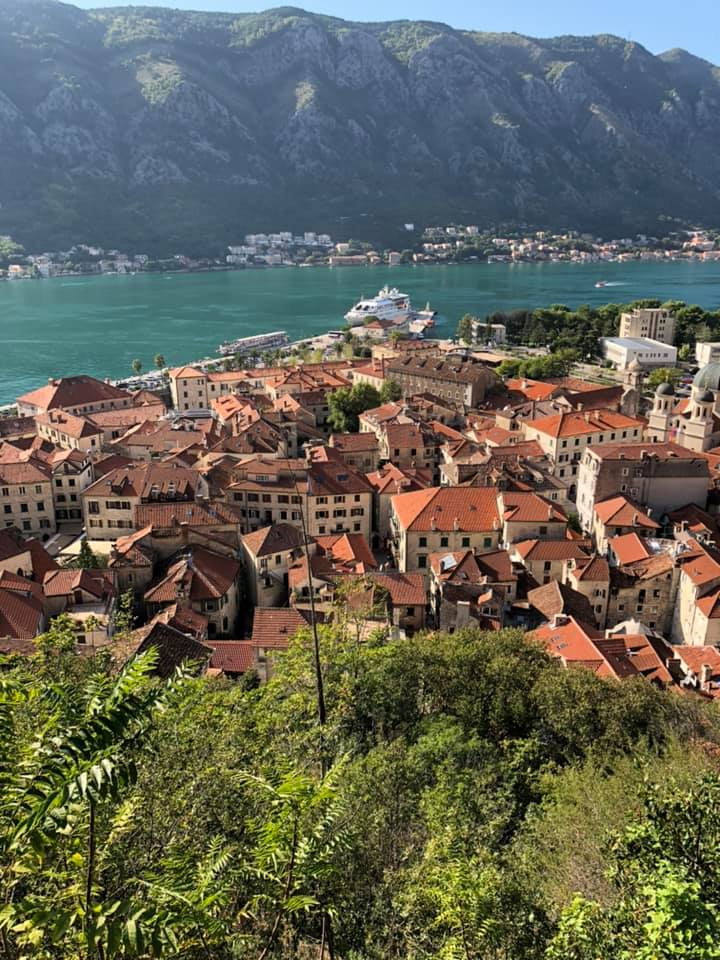
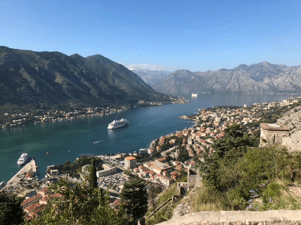
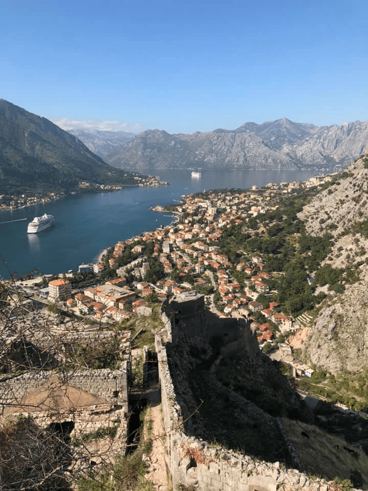
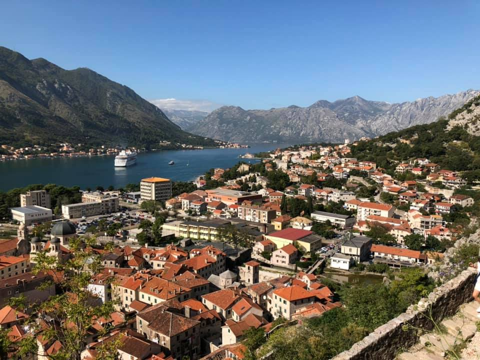
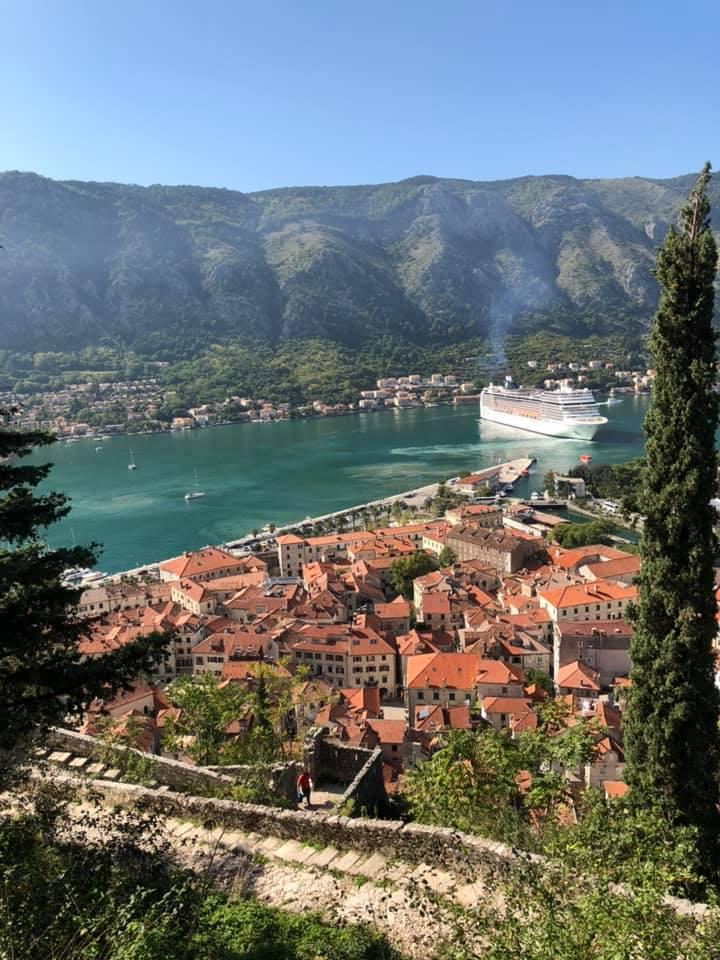
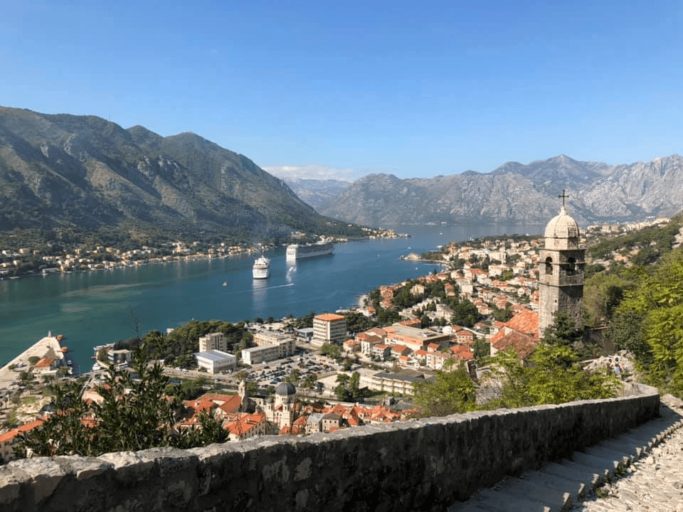
Kotor, population 13,347, is a town on the coast of Montenegro, located in the bay of the same name. I went in 2006, and again in 2019, so I’m going to populate this one with various pictures.
Kotor was settled in Ancient Roman times, when it was part of the province of Dalmatia and was known as Ascrivium. It gained a fortress in 535, as requested by the Emperor Justinian.
In 1002, the city was damaged while occupied by the Bulgarian Empire; in 1003, it was incorporated into the South Slavic state of Duklja. While Duklja was a vassal of Bulgaria, Kotor remained a decent degree of autonomy.
In 1185, Kotor was was conquered by Stefan Nemanja, Grand Prince of Serbia. It remained the most important Serbian trading port – rivalling Ragusa (now Dubrovnik) and even making Venice a little bit jealous – until the Serbian Empire fractured in 1371.
After that, it passed hands between Hungary, Venice and Bosnia, eventually acknowledging Venetian suzerainty in 1420. It remained part of the Venetian Republic until 1797, and was known as Cattaro.
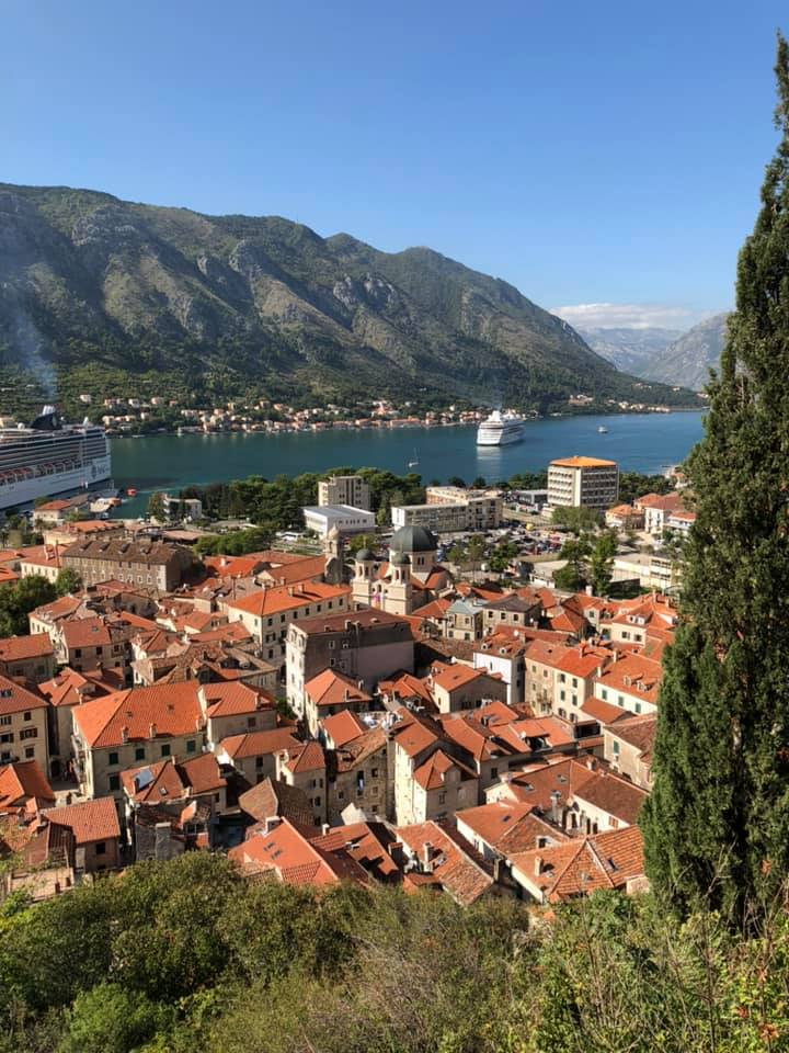
(2019 photos begin here; note the quality change)
That may make things sound more stable than they were – Cattaro was besieged by the Ottomans in 1538, suffered an earthquake in 1563, endured the plague in 1572, was besieged by Ottomans again in 1657, and experienced another earthquake in 1667.
In 1797, Kotor was put under the control of the Habsburg Empire, but, betwen then and 1814, it was also assigned to/conquered by the French and the British, before reverting into Austrian hands.
In World War I, Cattaro was one of the main bases of the Austro-Hungarian navy; when the war was over, it became part of Yugoslavia, and gained its current name.
Between 1941 and 1943, it was annexed by Italy; its Italian-speakers left for good after WW2.
Since 2006, Kotor has been part of an independent Montenegro (the early photos above are from a few months after that happened).
What a ridiculously gorgeous place.

Leave a comment