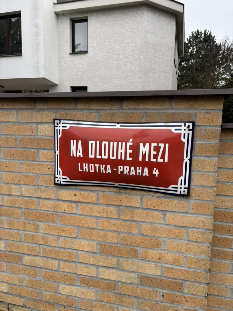
Na dlouhé mezi was built in 1900 and, despite the pic, is partially in Braník.
Until 1941, the street was called V Zátiší, which we’ll discuss in a few days.
A ‘mez’ is a ‘limit’ or a ‘boundary’; it can also be translated as ‘balk’ or ‘baulk’ (a ‘narrow strip of uncultivated land between cultivated fields’). A ‘dlouhá mez’ is a long boundary.
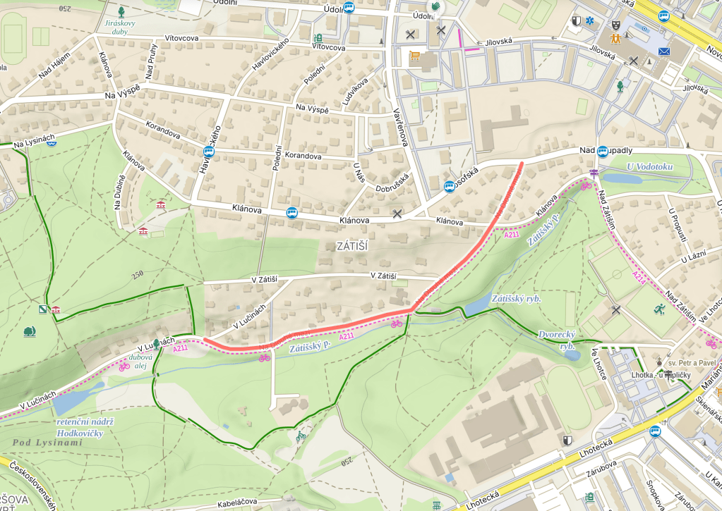
The long boundary that part of this street is on is the one between Modřany (https://whatsinapraguestreetname.com/2025/09/29/prague-4-day-185-modranska/) and Hodkovičky (where we’re about to spend three weeks or so – one Braník street and two Braník bridges to cross off before then).
At the time of naming, this wasn’t just a boundary between city districts – Hodkovičky was one of the many districts assimilated into Prague in 1922, but Modřany remained a separate town until 1968. Meaning that this was a border between Prague and Not Prague.

Leave a comment