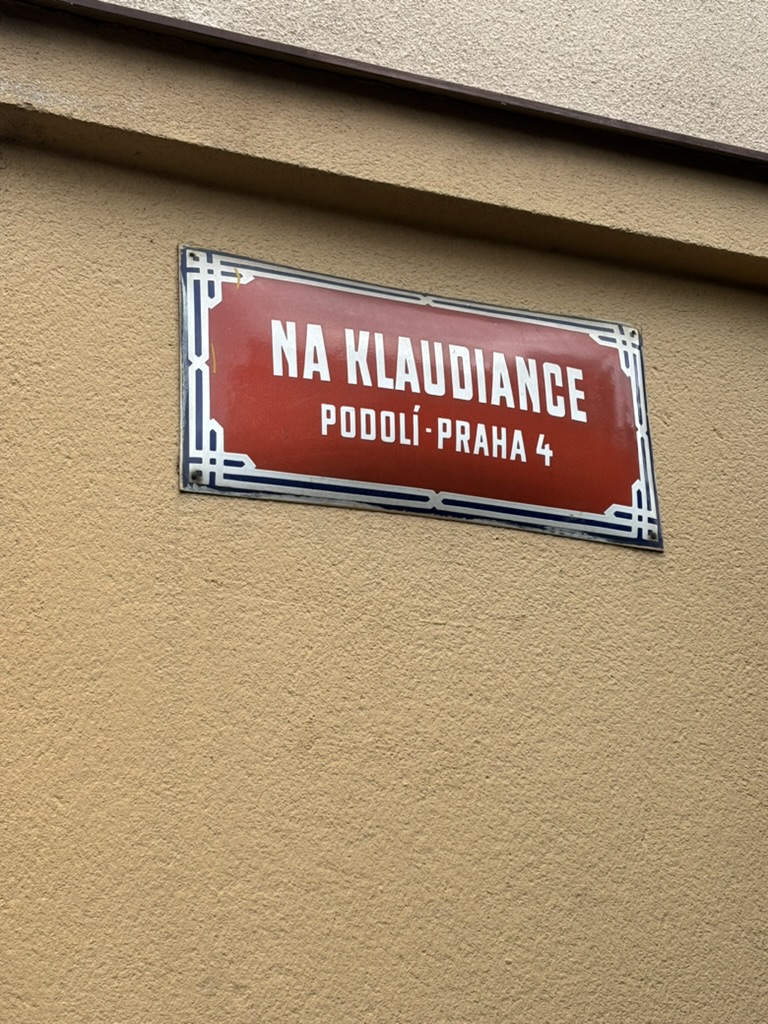
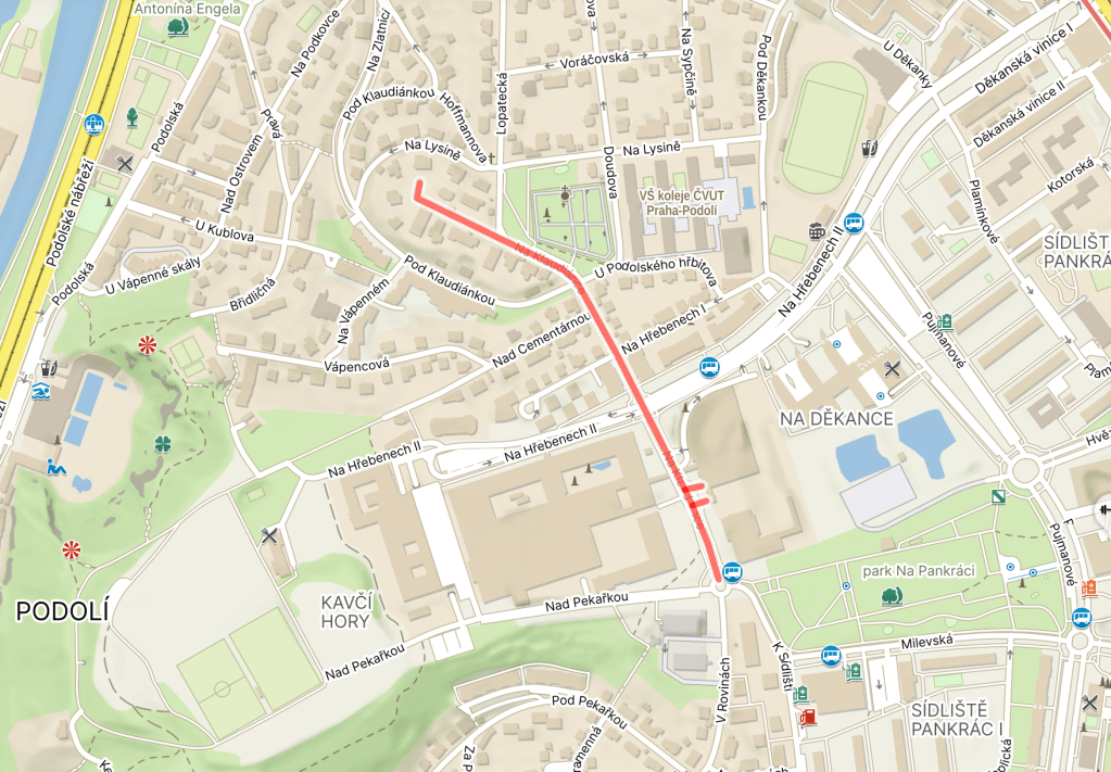
Na Klaudiánce was built in 1906. The street sign is missing the accent mark, but everything else I can find suggests it should be there.
Originally, there were vineyards around here, owned by the Vyšehrad Chapter (https://whatsinapraguestreetname.com/2024/08/24/prague-2-day-94-k-rotunde/).
Eventually – no later than 1843 – a farmstead appeared in the area. Its name was Klaudiánka. Later, the owner turned it into a restaurant.
I don’t think this next part is related to the name, but I feel like telling it anyway, because when else: in 1518, a physician from Mladá Boleslav called Mikuláš Klaudián was the first person to print a map of Bohemia.
It was aimed at pilgrims travelling to Rome (which is why it faces south-up), and was known as Klaudiánova mapa.

Back to the street: at some point in the 20th century, the Klaudiánka restaurant was closed down and its building is now residential.

Leave a comment