What's in a Prague street name

Every street in Prague, one by one.

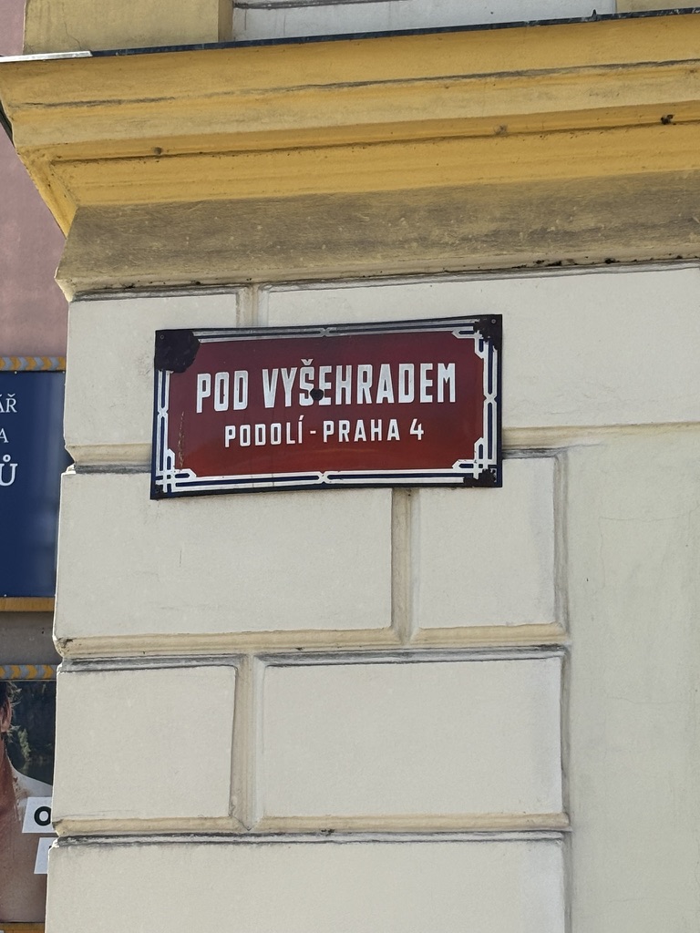
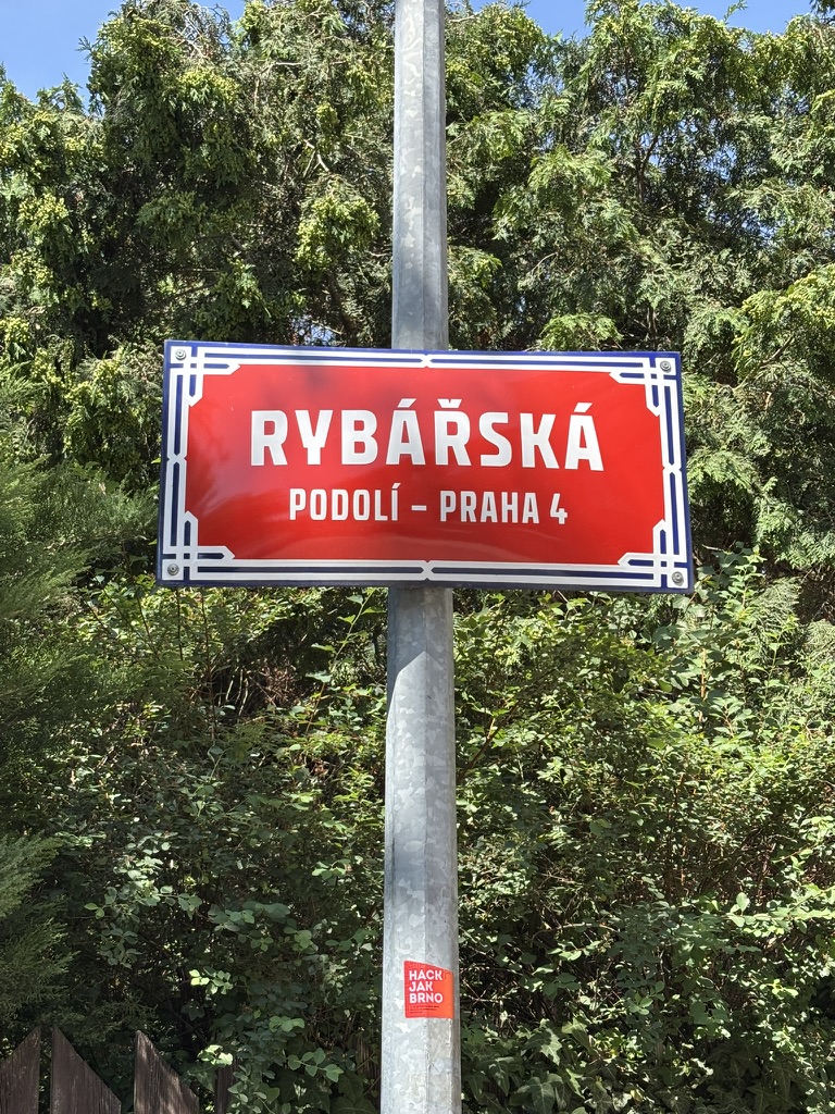
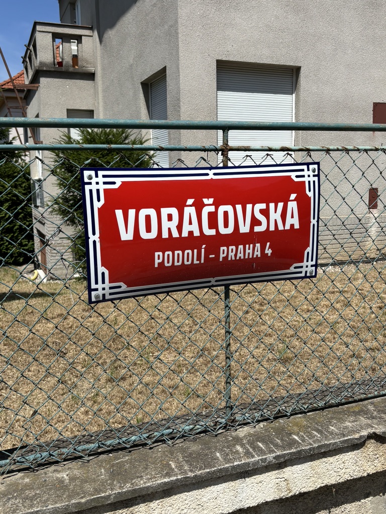
  • Vodárenská was built in 1935.

    By the late 1800s, Prague was expanding, as were the towns around it, such as Podolí. Industry was becoming stronger and stronger, and needed more resources. Such as water.

    Therefore, in 1882, the Vinohrady Waterworks were built to supply water to the town of Královské Vinohrady. The water tower is still there, and can be read about on https://whatsinapraguestreetname.com/2023/12/23/prague-3-day-186-u-vodarny/.

    Soon, the water was flowing to other nearby towns which would all become part of Prague in 1922: Nusle, Strašnice, Vršovice and Žižkov.

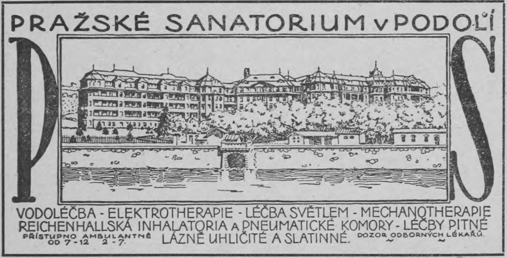
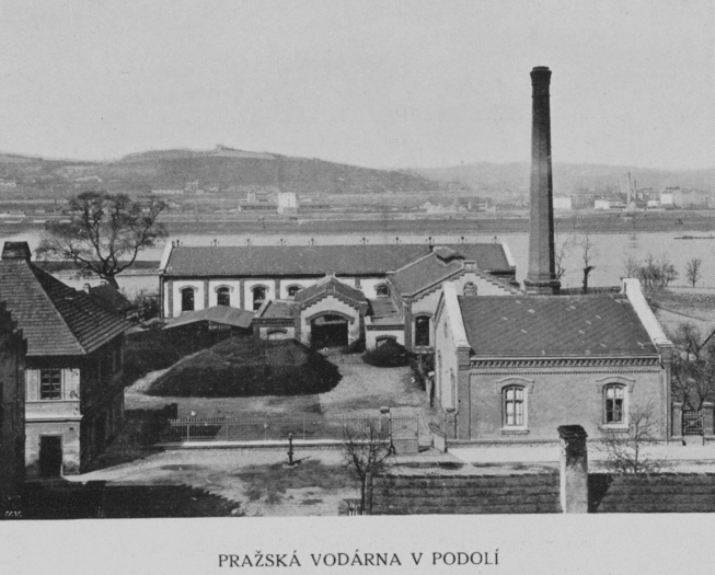
    In 1885, the Prague Waterworks, located in Podolí, followed; these (pictured in 1908) supplied water for places as far away as Malá Strana, Karlín and Smíchov.

    Further waterworks followed in Braník in 1906 (those will come up before we leave Prague 4 [which is not soon]).

    However, the days of all these waterworks were numbered: on 1 January 1914, a new water supply line, the Káraný water source (with water coming from the Jizera river), was put into operation and was, for a time, to supply Prague and its suburbs.

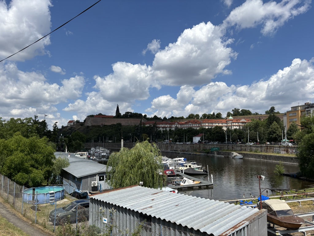
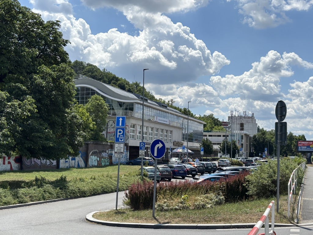
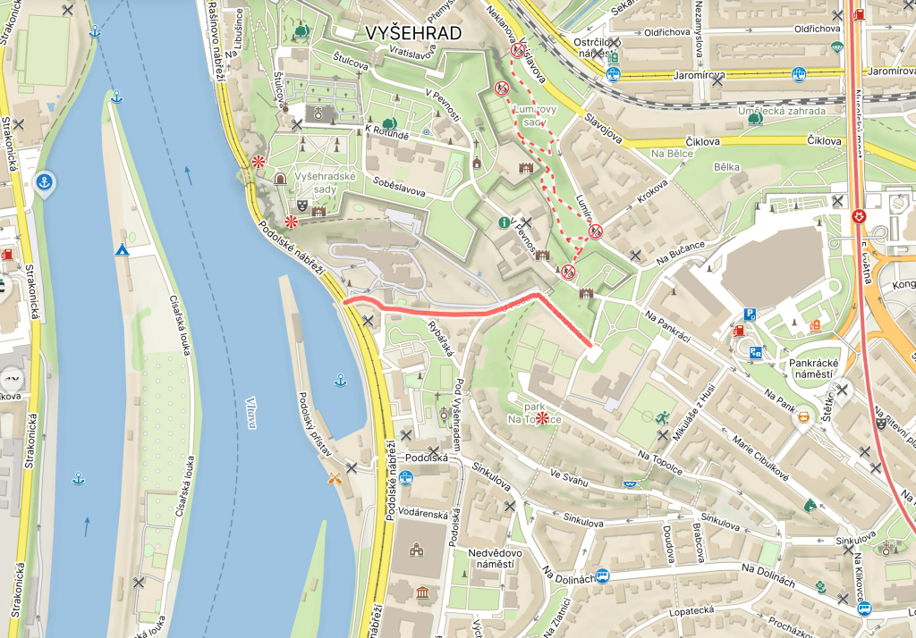
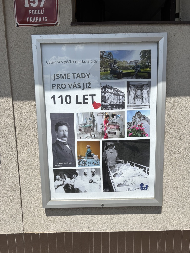
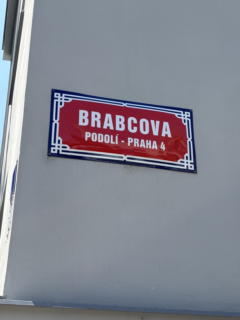
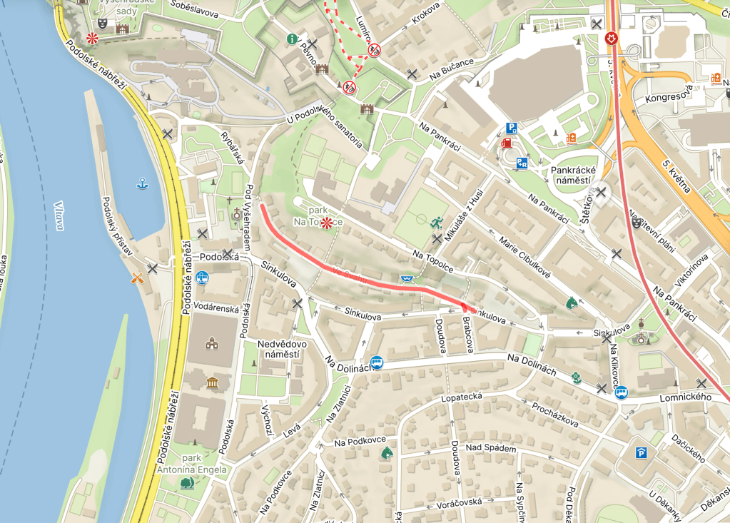
    By 1922, though, Prague was bigger than ever, and demand for water was outstripping supply. It was agreed that a new waterworks (Czech: vodárna) would be built here in Podolí, where the previous waterworks had already been closed down in 1911.

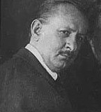
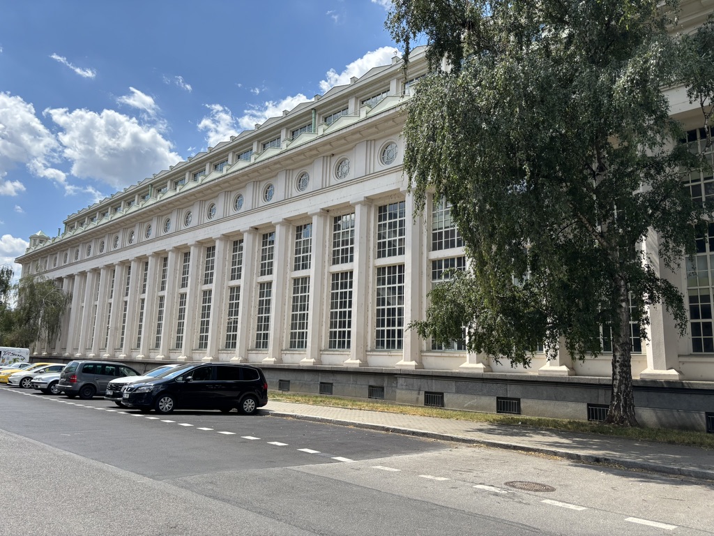
    Building took place between 1925 and 1929, carried out by the Kress Praha company, based on a design by the architect Antonín Engel. Once the new waterworks were in place, the Vinohrady Waterworks ceased operations and were finally demolished in the 1950s.

    Here are the new waterworks as they looked in 1931. Around this time, a chemical water treatment plant was added to the original building.

    Reconstruction took place from 1956 to 1965, when a new building with an additional filtration station was built, and again in 1992. The Museum of the Prague Waterworks moved here in 1997.

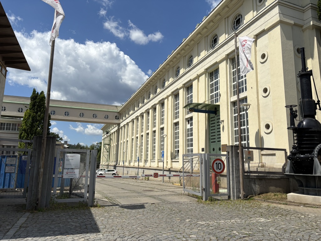
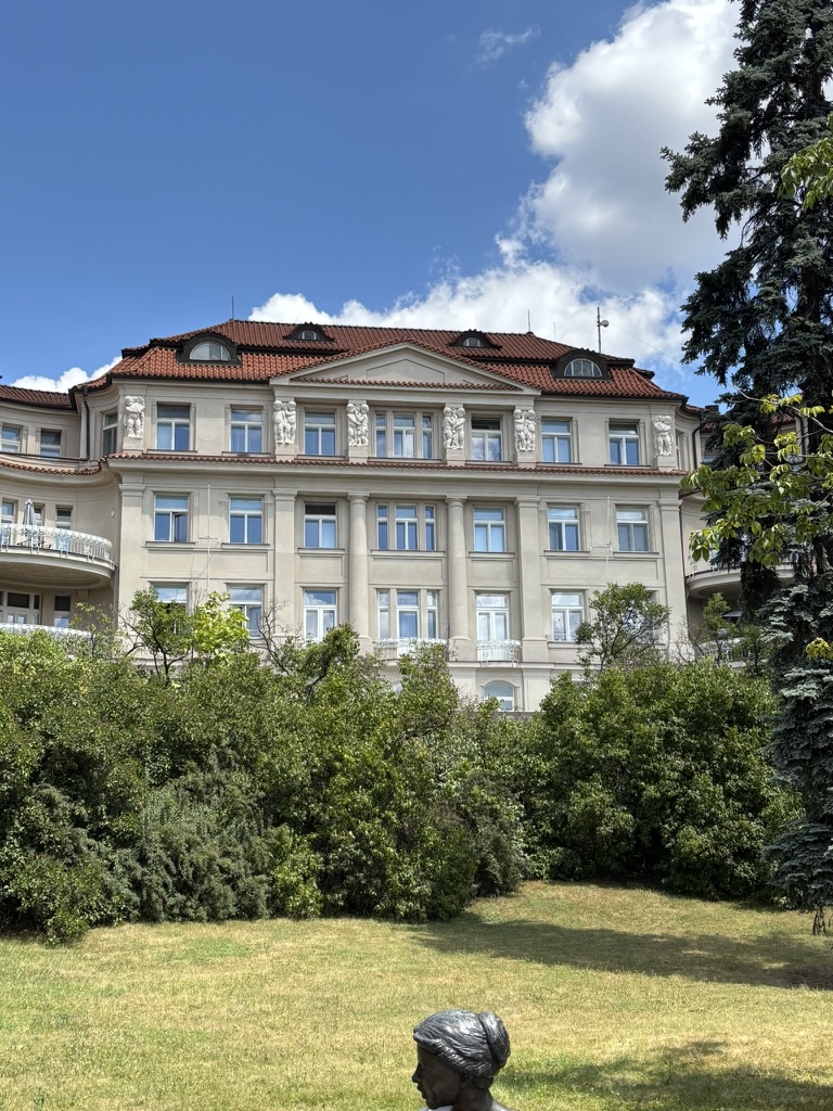
    The waterworks are built in a neoclassical style, with a 45-meter water tower. The building is pretty stunning from any angle.

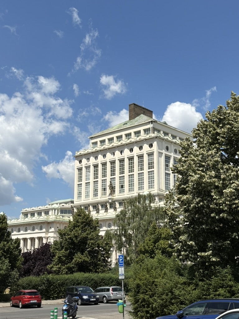
    The statues that you can see here represent the Vltava (in the centre), and ten of its most significant tributaries. From left to right, you have the Vydra, Otava, Blanice, Malše, Berounka, Sázava, Blanice, Želivka, Lužnice and Nežárka.

    You’d be looking at closer-up pictures of those statues right now, but the weather in Prague today meant that I decided not to go. Seriously good news for the water supply, mind.

  • Podolská was built in 1906.

    In 1222, the royal chapter at Vyšehrad (see https://whatsinapraguestreetname.com/2024/08/24/prague-2-day-94-k-rotunde/ for a little bit on that) published its founding charter. This mentioned that the chapter owned a court at Podolí – and makes it the oldest written mention of Podolí that we have.

    The settlement had its own church, (see https://whatsinapraguestreetname.com/2025/07/10/prague-4-day-140-pod-vysehradem/, though it looks very different now) and was surrounded by vineyards.

    In the 1300s, the people of Podolí were known for buying wood to be shipped up the Vltava to Prague (which Podolí was not yet part of). For more info, take a look at https://whatsinapraguestreetname.com/2024/08/26/prague-2-day-121-na-vytoni/), just to the north.

    During the Hussite Wars – see https://whatsinapraguestreetname.com/2025/02/01/prague-4-day-21-na-vitezne-plani/ to find out what happened nearby in November 1420 – Podolí was devastated, and fell into the hands of the burghers of Prague until regained by the Chapter in the late 1400s.

    In 1783 – when Podolí had a grand total of fifty residences – it expanded to include the nearby settlement of Dvorce (separate posts on that coming up soon).

    Podolí became well known for its limestone mining – see https://whatsinapraguestreetname.com/2025/06/17/prague-4-day-120-nad-cementarnou/ – its waterworks (coming up soon), and as a nice place to go for a day trip.

    In the early 20th century, the Vyšehrad tunnel was built, as was the Podolí Embankment (see https://whatsinapraguestreetname.com/2025/07/05/prague-4-day-137-podolske-nabrezi/), and Podolí started to grow significantly. In 1922, it became part of Greater Prague.

    Nowadays, Podolí has about 13,600 inhabitants – fewer than any of its three neighbouring districts – and 1,107 dwellings (also fewer, but it’s interesting that, Nusle, for example, has over 35,000 residents living at 1,440 addresses).

    Obviously, Podolí has a lot of buildings worth mentioning, but I’ll keep quiet-ish about those as they fit better into other posts.

  • Pod Vyšehradem is very old indeed, but wasn’t named until the 1940s.

    It is, quite literally, ‘below Vyšehrad’ – and, if you don’t know Vyšehrad, feel free to take a look through some of the Prague 2 posts, eg https://whatsinapraguestreetname.com/2024/08/24/prague-2-day-95-v-pevnosti/, https://whatsinapraguestreetname.com/2024/08/23/prague-2-day-93-libusina/ and https://whatsinapraguestreetname.com/2024/08/24/prague-2-day-94-k-rotunde/.

    There’s also one about Vyšehrad Street itself (https://whatsinapraguestreetname.com/2024/08/26/prague-2-day-118-vysehradska/), but I think those are a better read.

    Then there’s the story of the Battle of Vyšehrad in 1420: https://whatsinapraguestreetname.com/2025/02/01/prague-4-day-21-na-vitezne-plani/.

    Back on Pod Vyšehradem itself, I quite like the neo-Romanesque Church St Michael the Archangel in Podolí / Kostel svatého Michaela archanděla v Podolí, also simply known as St Michael’s.

    Speaking of St Michael, here’s a pretty varied and photo-heavy post from when I was writing about Prague 1: https://whatsinapraguestreetname.com/2024/10/07/prague-1-day-173-michalska/.

  • Rybářská was built in 1930.

    Recent posts such as https://whatsinapraguestreetname.com/2025/07/05/prague-4-day-137-podolske-nabrezi/ and https://whatsinapraguestreetname.com/2025/07/06/prague-4-day-138-podolsky-pristav/ remind us that we are by the Vltava.

    Also historically spending a lot of time by the river? Fishermen, or, in Czech, rybáři.

    If you’re into a bit of fishing/angling (rybářství) yourself, you will need a rybářský prut (a fishing rod), a fishing net (rybářská síť) and some rybářská výstroj (fishing gear) generally.

    Depending on where you’re fishing, you may also need a rybářský lístek (fishing permit) and, if the banks of the river aren’t enough for you, a rybářský člun (fishing boat).

    However, in Czech, you don’t go fishing for compliments, but you can go hunting for them (you could say that somebody ‘Loví na komplimenty’).

  • Podolský přístav was built between 1867 and 1872.

    A ‘přístav’ is a port. This one was originally built for rafts; around 1890, it gained a protective dam, and started to be used for sports vessels.

    In 1894, the Czech Yacht Club set up a floating shipyard at the port. A German rowing club, Regatta, then built a shipyard on the southern shore.

    This building is still present, and is used by the Faculty of Science of Charles University.

    In 1912, the Czech Yacht Club built a clubhouse, created by the architect Ferdinand Šamonil; this is still present too.

    The přístav is also a generally excellent place to take photos and be away from the crowds.

  • Podolské nábřeží has existed in its current form since 1990.

    From 1904 to 1906, the part of the embankment leading from the Vyšehrad Tunnel (mentioned on https://whatsinapraguestreetname.com/2024/08/26/prague-2-day-122-podskalska/) to Podolská (which will get its own post in a couple of days) was called Vyšehradské nábřeží, ie the Vyšehrad Embankment.

    From 1906 to 1924, it was named Libušino nábřeží, and for the mythical figure of Libuše, see https://whatsinapraguestreetname.com/2024/08/23/prague-2-day-93-libusina/. This is how Vyšehrad, where Libuše supposedly predicted the future existence of Prague, looks while you’re waiting for the tram here.

    Then, from 1924 to 1951 (with a break – see below), it was called Rašínovo nábreží, as the embankment directly to the north was/still is – see https://whatsinapraguestreetname.com/2024/08/28/prague-2-day-125-rasinovo-nabrezi/.

    Like Rašínovo nábreží, it was named Karl-Lažnovský-Ufer during World War II, after a journalist sympathetic to the Nazi occupation.

    In 1951, Rašín Embankment was again separated: present-day Rašínovo was called Nábřeží Bedřicha Engelse (Bedřich = Friedrich), and present-day Podolské was named Nábřeží Karla Marxe. Probably not much need for me to explain who they were.

    Just to make things more complicated: in 1935, the part of the embankment south of Podolská had already been named as Podolské nábřeží.

    In 1990, the already-existing Podolské nábřeží and the pre-existing Nábřeží Karla Marxe became one street. Given the latter was not exactly flavour of the month in 1990, the whole street took on the name of the former.

    As a main road in a scenic location, Podolské nábřeží is not without its sights and places that you may have wound up at previously. These include the maternity hospital discussed on https://whatsinapraguestreetname.com/2025/07/04/prague-4-day-136-u-podolskeho-sanatoria/ yesterday.

    There’s also Žluté lázně (‘Yellow spa’), a waterside sports facility that has a lot going on in the summer months: https://www.zlutelazne.cz/en.

    Then, there’s the Podolí Swimming Stadium, where you may have been recently if these temperatures are too much for you. It was opened in 1965 on the site of a former quarry (see https://whatsinapraguestreetname.com/2025/06/17/prague-4-day-120-nad-cementarnou/).

    Princess Diana secretly managed to pop in for a swim in 1991: https://praha.rozhlas.cz/princezna-diana-si-zaplavala-v-podoli-trenerka-si-ji-spletla-se-zavodnici-7604503. The indoor pool was reserved for training only, and Diana, as a good swimmer, was only detected as an intruder towards the end of her session.

    Finally, there’s this stunner, but to say any more about it right now would do me out of material for an upcoming post.

    On 24 August 1968 – three days after Soviet troops had invaded Czechoslovakia – two 15-year-olds, Karel Paríšek and Karel Němec, were in a car on Podolské nábřeží, being driven home after distributing leaflets condemning the occupation.

    A Soviet patrol shot at the car repeatedly. The driver survived; the two boys did not.

    A plaque at number 14 commemorates this senseless event.

  • U podolského sanatoria was named in the 1940s.

    In 1909, a notable Czech doctor, Rudolf Jedlička (more on him on https://whatsinapraguestreetname.com/2025/05/15/prague-4-day-95-u-jedlickova-ustavu/) decided to build a modern institute – the Prague Sanatorium – to serve wealthy clients.

    Designed by architect Rudolf Kříženecký, it consisted of five interconnected buildings, with specialist institutes, operating rooms and various baths.

    Construction started in 1910 and was completed in 1914, with the facility inevitably serving as a temporary hospital operated by the Red Cross during World War I. The complex returned to its original purpose when the war ended.

    During World War II, it was confiscated by the Nazis and served as a sanatorium for members of the SS; after the war, it was used to treat concentration camp returnees who were suffering from tuberculosis.

    In 1946, the complex was transferred to the Ministry of Education and Public Education, who intended for it to be used to provide healthcare to mothers and their children.

    Since 1951, it’s been known as the Ústav pro péči o matku a dítě (Institute for Mother and Child Care); it’s colloquially known as the Porodnice v Podolí (Podolí Maternity Hospital). It cooperates with many national and international organisations, including the WHO.

    This sculpture at the entrance is by Czech-born Canadian artist Lea Vivot.

  • Podolské schody were built in 1925. There may be a proper street sign up at the top.

    These are the ‘Podolí Steps’, built around the same time as much everything else round here, when Podolí was newly part of Prague and expanding.

    The steps got a bit of attention in late 2023, when railings were added – and not only did the municipal government of Prague 4 not finance, order or approve this, but they only found out when the public did: https://archiv.prahatv.eu/zpravy/praha/praha-4/19238/zabradli-na-podolskych-schodech-vyvolalo-zhavou-diskuzi.

  • Brabcova was built in 1938.

    It’s not been easy to find information on this one. Apparently, Karel Brabec was born in 1909, was a labourer, and a member of the Communist Party of Czechoslovakia.

    He was executed in 1942 for taking part in resistance activities.

    Before 1952, the street was named after Hynek Krušina z Lichtenburka, a noble who first fought on the Hussite side in the 1400s, then on the side of the Catholics.

  • Ve svahu was built in 1925.

    A ‘svah’ is a slope or a hillside, and this street is, as you’ve already guessed, located on one.

    For vocabulary fans, a ‘lyžařský svah’ is a ski slope, whereas a steep slope would be a ‘příkrý svah’.

  • Procházkova was built in 1933.

    The street is believed to be named after a soldier called Josef Procházka, killed during World War One.

    However, at least ten men with that name died during battle, and so it’s not possible to get more specific.

    This means it was not named after the composer and pianist Josef Procházka (1874-1956), even though he regularly accompanied the string quartet that we discussed yesterday (https://whatsinapraguestreetname.com/2025/06/29/prague-4-day-131-hoffmannova/).

    This is not the only street round here named after a victim of World War One; see https://whatsinapraguestreetname.com/2025/06/23/prague-4-day-125-doudova/.

  • Hoffmannova was built in 1925, but remained nameless until 1955.

    The whole namelessness thing starts to make sense when you see that it feels more like a ye olde village road than anything else.

    Karel Hoffmann was born to a poor family in Smíchov in 1872, initially living near Anděl, then at Bertramka.

    As a child, he was given a violin as a way to earn some money from the family; he progressed well and, in 1885, passed the entrance exam for the Prague Conservatory.

    He studied there for seven years; in his fifth year, he became concertmaster of the school orchestra, and, in his final year, he became part of a string quartet, on first violin.

    When he graduated in 1892, Hoffmann stayed with the quartet, which became known as the České kvarteto. In its most famous incarnation, its other members were Hanuš Wihan (violoncello), Oskar Nedbal (viola) and Josef Suk (second violin).

    From 1898, Hoffmann started to give solo concerts, both in Prague and internationally.

    In 1899, Hoffmann married Marie Mokrá; they had a daughter, Dagmar, in 1901. Unfortunately, Hoffmann’s focus on his work led his wife to run off with Oskar Nedbal – a Kvarteto member – in 1906. Nedbal was understandably replaced by Jiří Herold in the same year.

    World War I seriously dented the Kvarteto’s opportunities, but they started touring internationally again once the war had come to an end (here they are in the Netherlands in 1920).

    In 1922, Hoffmann was appointed as a professor of the violin at Prague Conservatory. In 1926, he became its rector.

    Josef Suk retired from performing in 1933, and Jiří Herold died in 1934. Hoffmann founded a new group – České trio – but this was short-lived, as, in 1936, Hoffmann died of cancer. He is buried at Vyšehrad.

    Since its construction, Hoffmann had been living at this villa on Lopatecká (https://whatsinapraguestreetname.com/2025/06/27/prague-4-day-129-lopatecka/). It was also used for the Quartet’s rehearsals.

    A plaque on the front commemorates Hoffmann’s life.

  • Nad spádem was built in 1925.

    ‘Spád’ can be translated as ‘momentum, ‘speed’, ‘cadence’, ‘flow’ and much else besides.

    In the context of this street, it would be a ‘gradient’, ‘slope’, etc., and ‘Nad spádem’ denotes that the street is above one.

    Continuing the theme of publishing companies quite liking setting up their headquarters in Podolí, number 10 is the home of PROSTOR, which focuses on publishing social science works, as well as publishing journalism and fiction.

  • Lopatecká was built in 1929.

    Once upon a time, there was a homestead where the street is now. Its name was Lopatecká.

    In the 1920s, a modernist villa was built on the spot where the homestead had stood (at number seven). It was designed by the architect Eduard Hnilička.

    I’d love to talk about who it was built for, but that’s either a day 130 or a day 131 kind of story.

    I’m less inclined to talk about whoever was owning it in 2009, because they submitted an application for the house to be demolished. Not only was this rejected, but that application really didn’t work out – since 2011, number 7 has been a listed building.

    You might have seen one of Hnilička’s works in a more central part of Prague, namely the YMCA building on here: https://whatsinapraguestreetname.com/2024/11/10/prague-1-day-272-na-porici/.

  • Voráčovská was built in 1925.

    Apparently a previous name for the immediately surrounding area – presumably because of someone whose surname was Voráček, but all the ones listed on Czech Wikipedia were born too late for it to be them.

    I’m going to assume there was a villa, a farm or a vineyard involved. Based on previous posts, that seems like a safe bet.

    Hopefully something more conclusive tomorrow.

  • Na sypčině was built in 1938.

    The Czech for ‘sand’ is ‘písek’ (see also: a street named after the town of Písek: https://whatsinapraguestreetname.com/2023/03/19/prague-3-day-175-pisecka/).

    ‘Písčina’, meanwhile, would translate as ‘sands’, a ‘sandy area’ or a ‘sandbank’, and ‘písčitý’ would translate as ‘sandy’.

    The name of the street derives from the nature of the ground on which the street stands (yes, I accidentally spelt that as ‘sands’ the first time).

  • Na lysině was built in 1931.

    ‘Lysina’ isn’t in common use as a word in modern Czech, but it exists in present-day Slovak, where it’s a bald spot. In Czech, that would be a ‘pleš’.

    ‘Łysina’, in Polish, means the same thing, but can also be used colloquially to denote an area devoid of vegetation.

    It seems that the area round here was known as ‘Lysina’ for this reason, although that’s quite amusing to me, because, when I lived round there (and when I went back to take the street sign photo), it was very green indeed.

    Na lysině is home to dorms used by the Czech Technical University (ČVUT), as well as the Čtyřlístek publishing house.

  • Doudova was built in 1925.

    Václav Douda was born in Podolí in 1886.

    He qualified as a teacher, while also training, and acting in a management capacity, at the Podolí Sokol (guide to the Sokols on https://whatsinapraguestreetname.com/2024/08/26/prague-2-day-114-sokolska/).

    In 1913, he was part of the Czech team at the 6th World Artistic Gymnastics Championships, which took place in Paris. The team earned a gold medal in the team competition.

    A year later, World War I broke out, and Douda was drafted. After being taken prisoner on the Russian front, he joined the Czechoslovak Legions (https://whatsinapraguestreetname.com/2024/09/12/prague-1-day-90-most-legii-legion-bridge/).

    Douda was killed in 1918, a few days after his 32nd birthday, in a bayonet attack near Lake Baikal. He is commemorated in a memorial to the Podolí Sokol members in the nearby cemetery (https://whatsinapraguestreetname.com/2025/06/18/prague-4-day-121-u-podolskeho-hrbitova/).

    While in Siberia, Douda made a set of chess pieces for his comrades. They’re held in the archives of the National Museum: https://www.esbirky.cz/predmet/16531696.


  • Pod Klaudiánkou was built in 1925.

    A pleasingly short one today, as I can just point you in the direction of https://whatsinapraguestreetname.com/2025/06/14/prague-4-day-117-na-klaudiance/.

    So, let’s take advantage of that and tell another story, that of the ‘číslo popisné’, literally ‘descriptive number’, AKA the unique number assigned to each building in Prague in addition to its street-specific number.

    ‘Conscription numbers’, AKA Konskriptionsnummer, or orientation numbers, first became a thing during the reign of Maria Theresa (you may not be surprised to know that the Hofsburg in Vienna was numbered as ‘1’). Numbers were usually assigned based on when the houses had been built.

    There were so many changes in the system that, a hundred years later, some buildings were already on their fifth number. One effect of these multiple changes is that the word Hausnummer can be used to mean a ‘ballpark figure’.

    In Vienna, a ruling in 1894 declared that ‘as we know them’ number had to be shown on the front of each building, whereas the orientation number had to be recorded somewhere inside the house that was accessible to all residents. This was repealed in 2001.

    The Viennese never quite got round to thinking the orientation numbers were something that mattered; the Czechs and Slovaks clearly disagreed, as the system is still in place today.

    I decided to crowbar this into today’s post because the highest possible číslo popisné is 9999, and Pod Klaudiánkou gets quite close to that with a 9995.

  • Na vápenném was built in the late 1930s, but not named until a few years later.

    Same limestone story as yesterday, so please take a look at https://whatsinapraguestreetname.com/2025/06/20/prague-4-day-122-vapencova/.