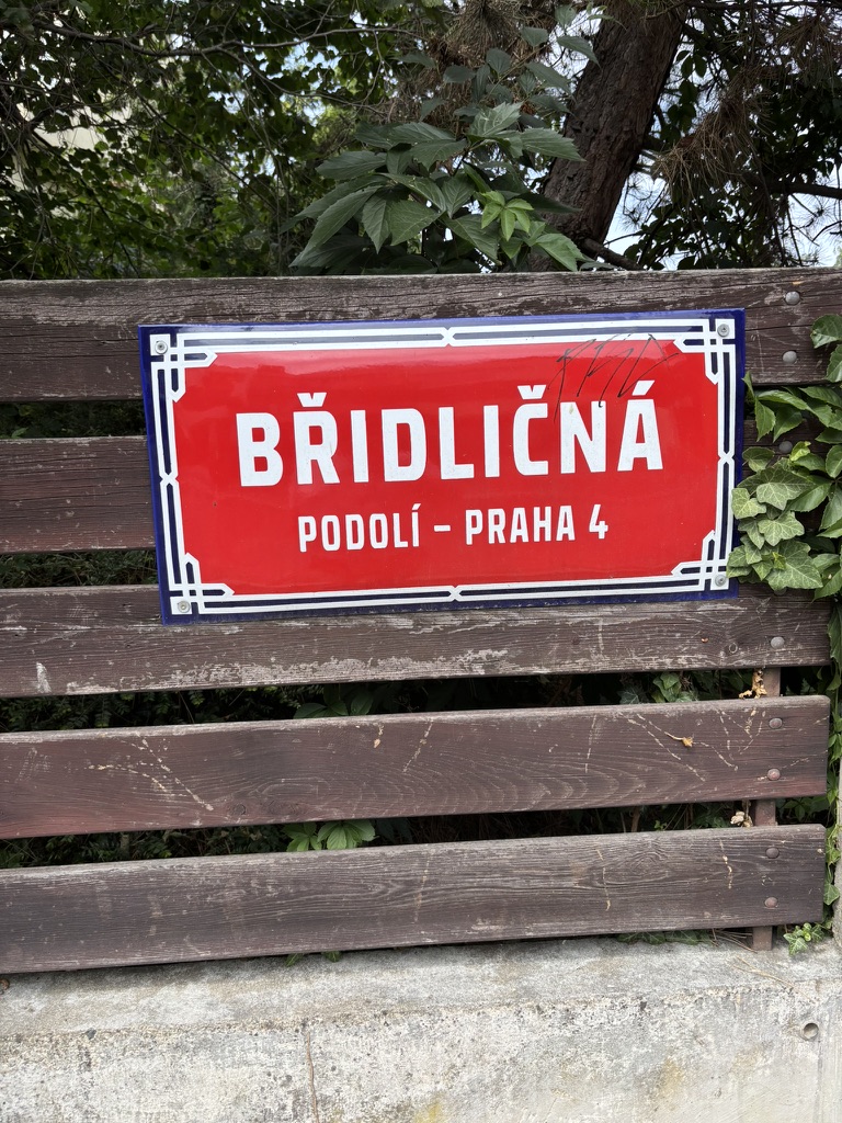
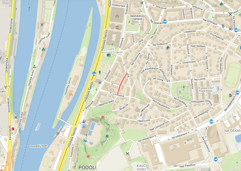
‘Břidlice’ means ‘slate’ – fine-grained sedimentary rocks made from claystones and siltstones.
Slate is usually black or grey, and has excellent insulating properties. It also contains methane, which can be mined as shale gas.
In Czechia, slate is most abundant in Nízký Jeseník – the country’s largest geomorphological region – and in Barrandien, a geological region between Prague and Plzeň.
It’s also quite common here, hence the street name.
However, the first name – in place until 1947, except during the Nazi occupation – was Strossmayerova, after Josip Juraj Strossmayer (1815-1905), Croatian prelate, politician and benefactor. More on him when we get on to Prague 7.
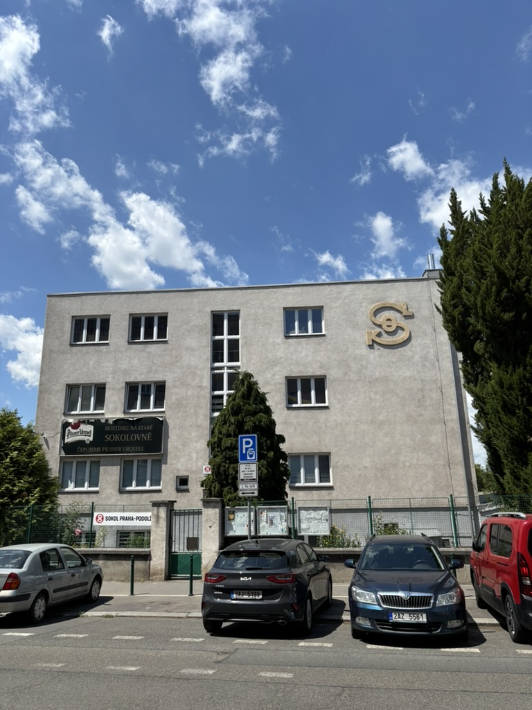
An individual branch of the Sokols will be housed in what is called a sokolovna – such as the opened here in 1933, a mere 22 years after the land was purchased for construction.
The sokolovna wasn’t due to operate for long – it was occupied by German soldiers during WW2, and all the Sokols were closed down entirely in 1948. This one wouldn’t be properly restored until 1997.
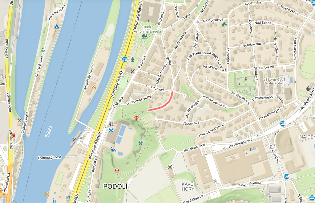
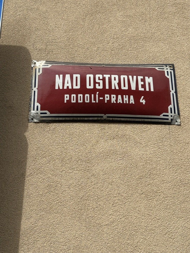
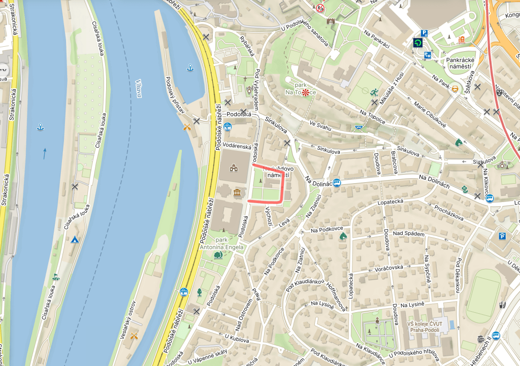
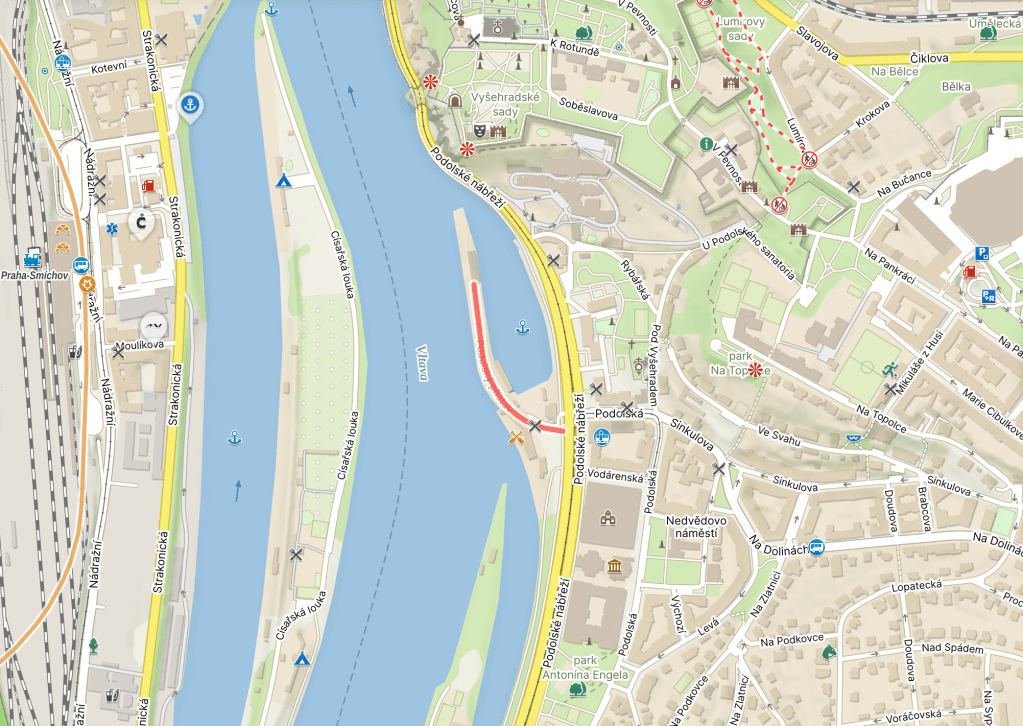
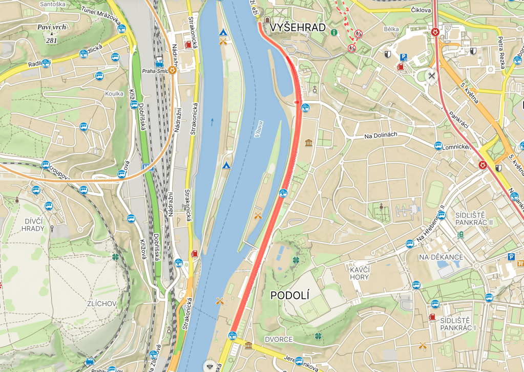
The island in question – as you might be able to guess from the map – is Veslařský ostrov. As that has its own street sign, I guess that should be your lot for now.
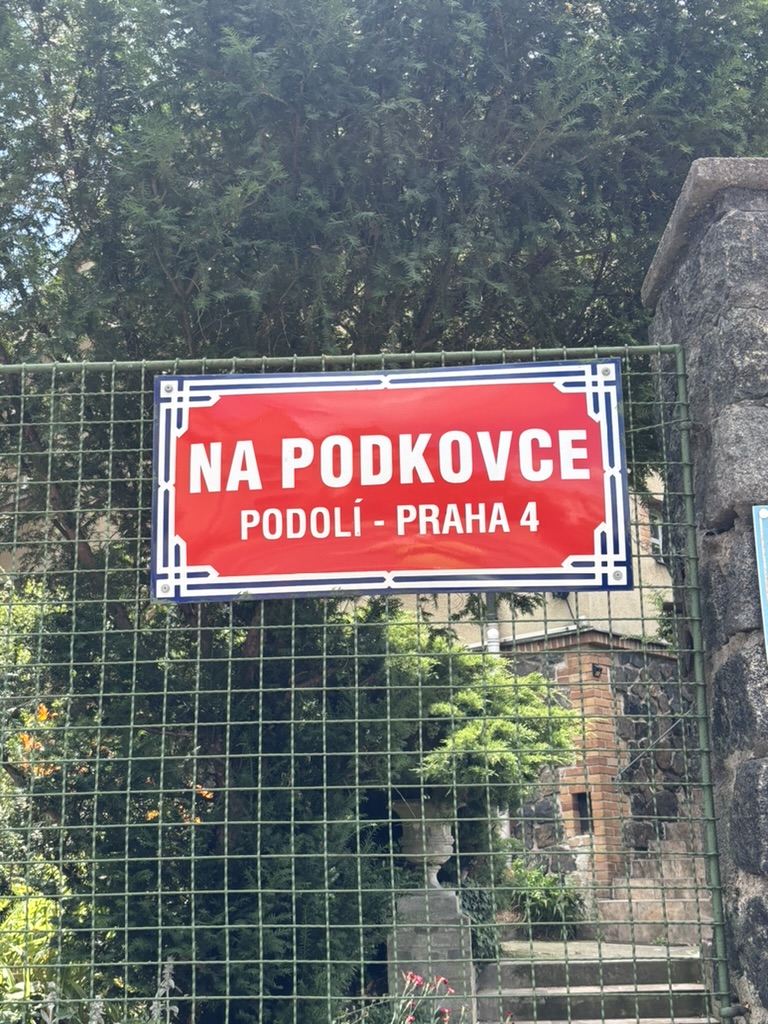
‘Podkovka’ translates as ‘Hippocrepis’, which itself translates as ‘horseshoe’; it’s a genus of flowering plants, of which there are accepted to be 34 different species.
And, because round here is round here, it was, once upon a time, the name of a local vineyard.
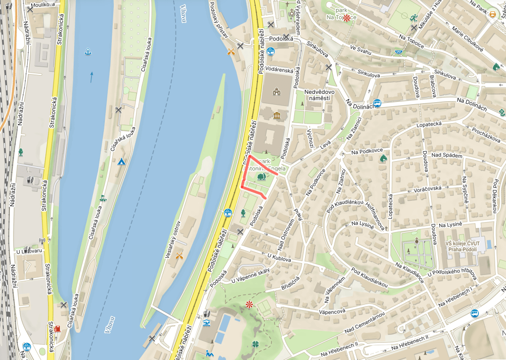
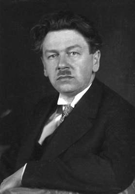
Antonín Engel was born in Poděbrady in 1879; his family moved to Prague shortly after, and he went to school on Malá Strana, graduating in 1897.
After that, he studied architecture and engineering at both ČVUT and its German-speaking counterpart, as well as at the Vienna Academy, where he was awarded a scholarship to Italy.
As he wasn’t able to fight in World War One for health reasons, he continued in this role throughout the period to 1922, when he became a professor at ČVUT (he would ultimately be its rector from 1939 to 1940).
During this time, Engel also joined the state regulatory commission for Greater Prague (founded in 1922, when many districts which we would now think of as being very central finally became part of the city).
Engel was stripped of his professorship in 1948, and had to sell his paintings and valuables to support himself and his family.
In 1956, Engel was contracted to carry out an extension of the waterworks; this sounds like good news, financially speaking, but Engel was royally screwed over by a currency reform which happened a week after he was paid, and reduced the value of said payment by 98%.
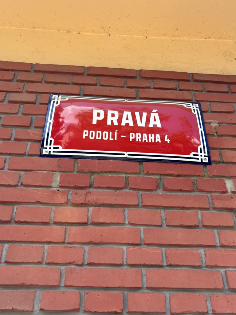
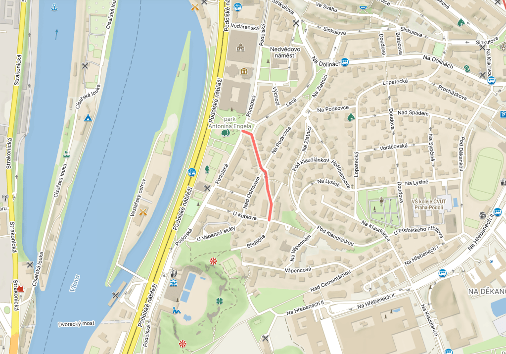
Pravá is located, quite literally, to the right of Podolská (if you’re facing the correct way).
OK, vocab time, based on the reminder that, sigh, so many people believe that the right is right:
The ‘pravý opak’ would be the exact opposite or an antithesis, a ‘pravý úhel’ is a right angle, and ‘nazývat věci pravými jmény’ is to call a spade a spade.
You can also use ‘pravá’ to refer to your right foot, and the foot would be implicit.
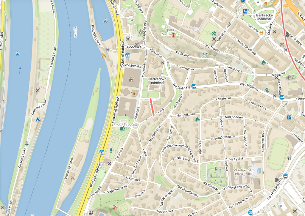
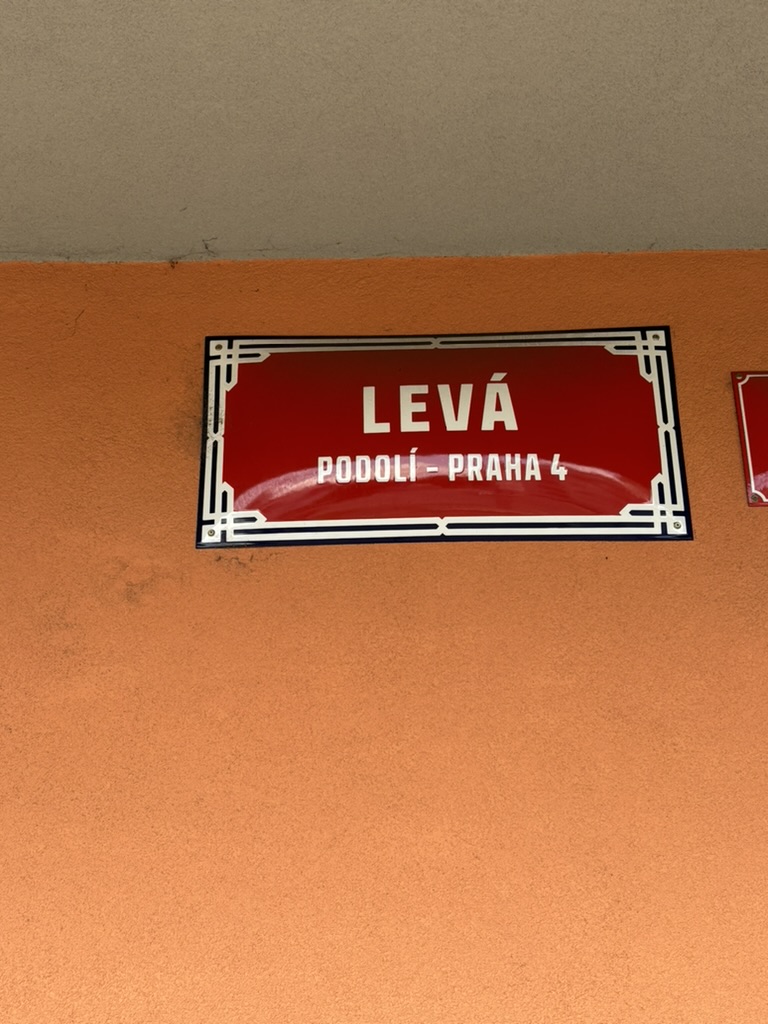
Levá is located, quite literally, to the left of Podolská (if you’re facing the correct way).
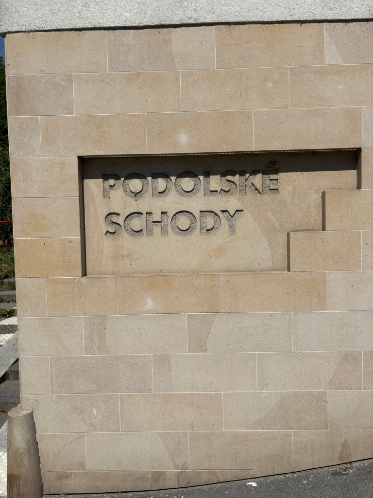
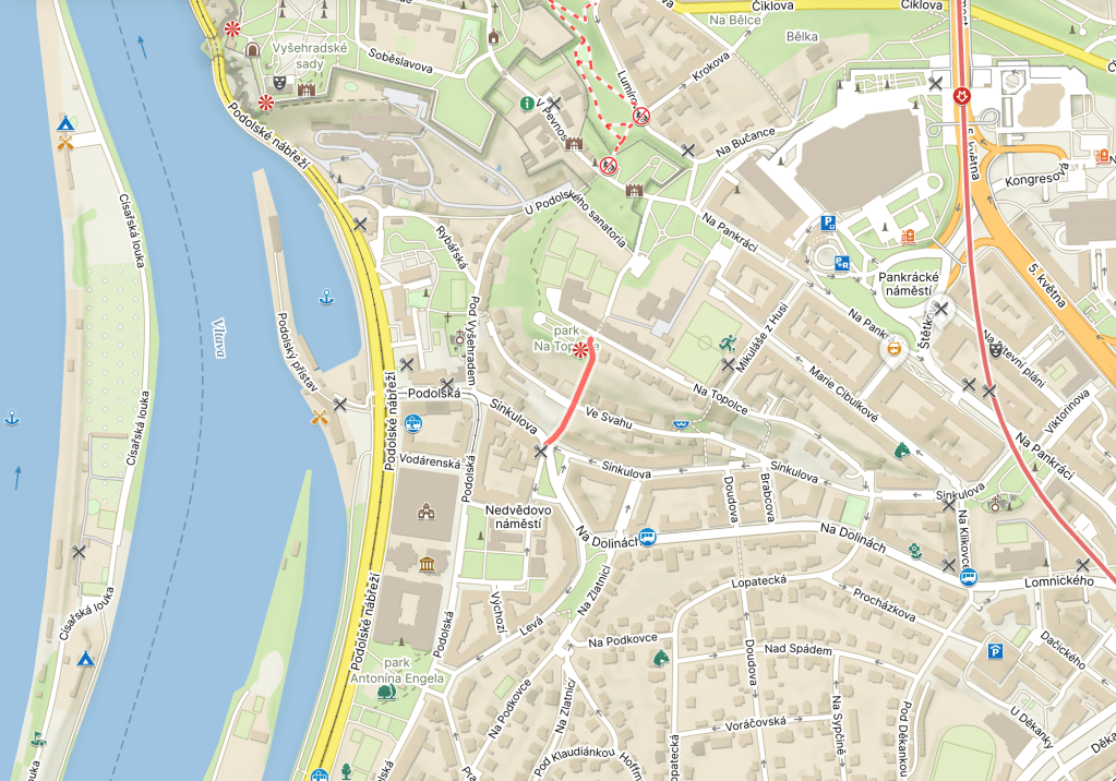
Much of what I wrote above was part of my journey home many years ago, only without 77 steps which I do not miss and worked hard to avoid while walking around Podolí for this series.
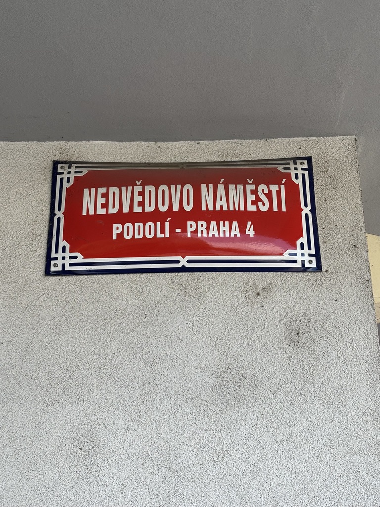
From 1934 to 1948, it was called Podolské náměstí.
Miloš Nedvěd was born in 1908. His father, František Nedvěd, would later co-found the Communist Party of Czechoslovakia in the early 1920s, and would have a seat in the Senate from 1929 to 1938.
Miloš went to medical school, where he met Zdeňka Nejedlá; they would marry shortly after graduating. She opened a paediatric practice, while he took on a research internship at a clinic. Both, following in their families’ footsteps, were also active in the Communist Party.
When the Nazis established the Protectorate of Bohemia and Moravia in 1939, both also became active in resistance activities, spreading leaflets and distributing food to families of those who had been arrested.
The Gestapo arrested both of them – and Miloš’s mother – in April 1942 (František Nedvěd was, by this stage, in exile in the Soviet Union, where he would die in 1943), and sent them to Pankrác Prison.
After about half a year, they were transported to Terezín, where they were assigned to provide treatment to their fellow inmates, until they were transferred to Auschwitz in early 1943, where they took on a similar role.
Miloš died there of typhoid a couple of months later; Zdeňka only found out a month later when she was recovering from the same disease.
Later in 1943, Zdeňka was transferred to Ravensbrück. She survived, and returned to her work as a paediatrician in Podolí when the war ended. She stayed in the Communist Party until 1968, when she condemned the Soviet invasion of Czechoslovakia.
For anyone wondering: yes, I agree that it would be nice if the street had been named after both husband and wife, but, when it was named in 1948, Zdeňka was still alive, and streets named after living people are very, very rare indeed.
By the late 1800s, Prague was expanding, as were the towns around it, such as Podolí. Industry was becoming stronger and stronger, and needed more resources. Such as water.
Soon, the water was flowing to other nearby towns which would all become part of Prague in 1922: Nusle, Strašnice, Vršovice and Žižkov.
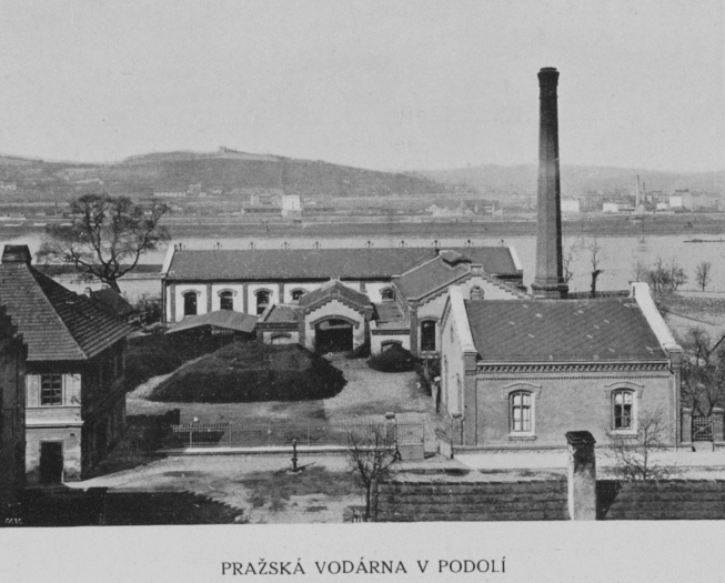
In 1885, the Prague Waterworks, located in Podolí, followed; these (pictured in 1908) supplied water for places as far away as Malá Strana, Karlín and Smíchov.
Further waterworks followed in Braník in 1906 (those will come up before we leave Prague 4 [which is not soon]).
However, the days of all these waterworks were numbered: on 1 January 1914, a new water supply line, the Káraný water source (with water coming from the Jizera river), was put into operation and was, for a time, to supply Prague and its suburbs.
By 1922, though, Prague was bigger than ever, and demand for water was outstripping supply. It was agreed that a new waterworks (Czech: vodárna) would be built here in Podolí, where the previous waterworks had already been closed down in 1911.
Building took place between 1925 and 1929, carried out by the Kress Praha company, based on a design by the architect Antonín Engel. Once the new waterworks were in place, the Vinohrady Waterworks ceased operations and were finally demolished in the 1950s.
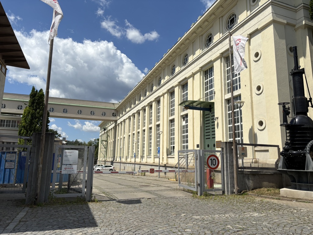
Here are the new waterworks as they looked in 1931. Around this time, a chemical water treatment plant was added to the original building.
Reconstruction took place from 1956 to 1965, when a new building with an additional filtration station was built, and again in 1992. The Museum of the Prague Waterworks moved here in 1997.
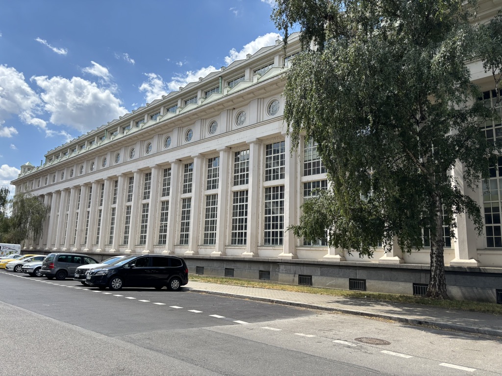
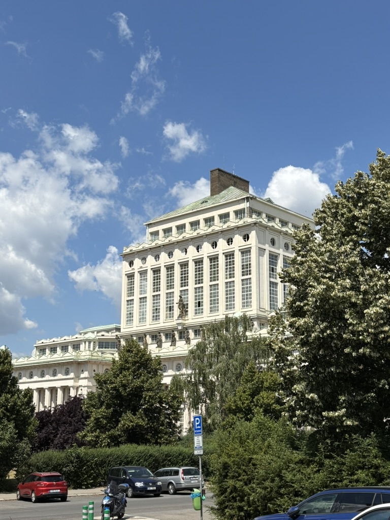
The waterworks are built in a neoclassical style, with a 45-meter water tower. The building is pretty stunning from any angle.
The statues that you can see here represent the Vltava (in the centre), and ten of its most significant tributaries. From left to right, you have the Vydra, Otava, Blanice, Malše, Berounka, Sázava, Blanice, Želivka, Lužnice and Nežárka.
You’d be looking at closer-up pictures of those statues right now, but the weather in Prague today meant that I decided not to go. Seriously good news for the water supply, mind.
In 1222, the royal chapter at Vyšehrad (see https://whatsinapraguestreetname.com/2024/08/24/prague-2-day-94-k-rotunde/ for a little bit on that) published its founding charter. This mentioned that the chapter owned a court at Podolí – and makes it the oldest written mention of Podolí that we have.
In 1783 – when Podolí had a grand total of fifty residences – it expanded to include the nearby settlement of Dvorce (separate posts on that coming up soon).
Nowadays, Podolí has about 13,600 inhabitants – fewer than any of its three neighbouring districts – and 1,107 dwellings (also fewer, but it’s interesting that, Nusle, for example, has over 35,000 residents living at 1,440 addresses).
Obviously, Podolí has a lot of buildings worth mentioning, but I’ll keep quiet-ish about those as they fit better into other posts.
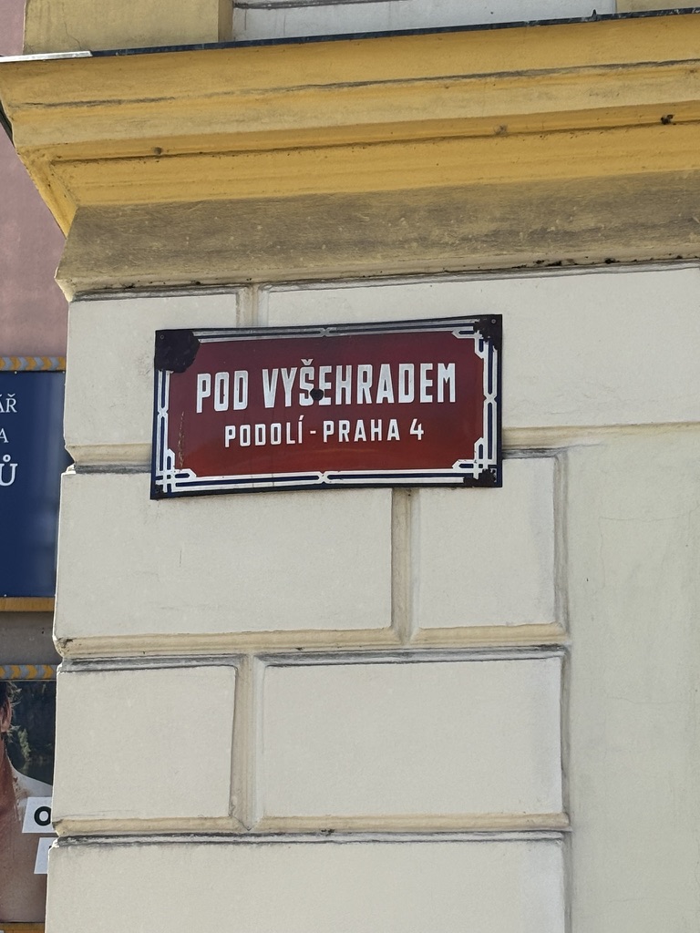
Back on Pod Vyšehradem itself, I quite like the neo-Romanesque Church St Michael the Archangel in Podolí / Kostel svatého Michaela archanděla v Podolí, also simply known as St Michael’s.
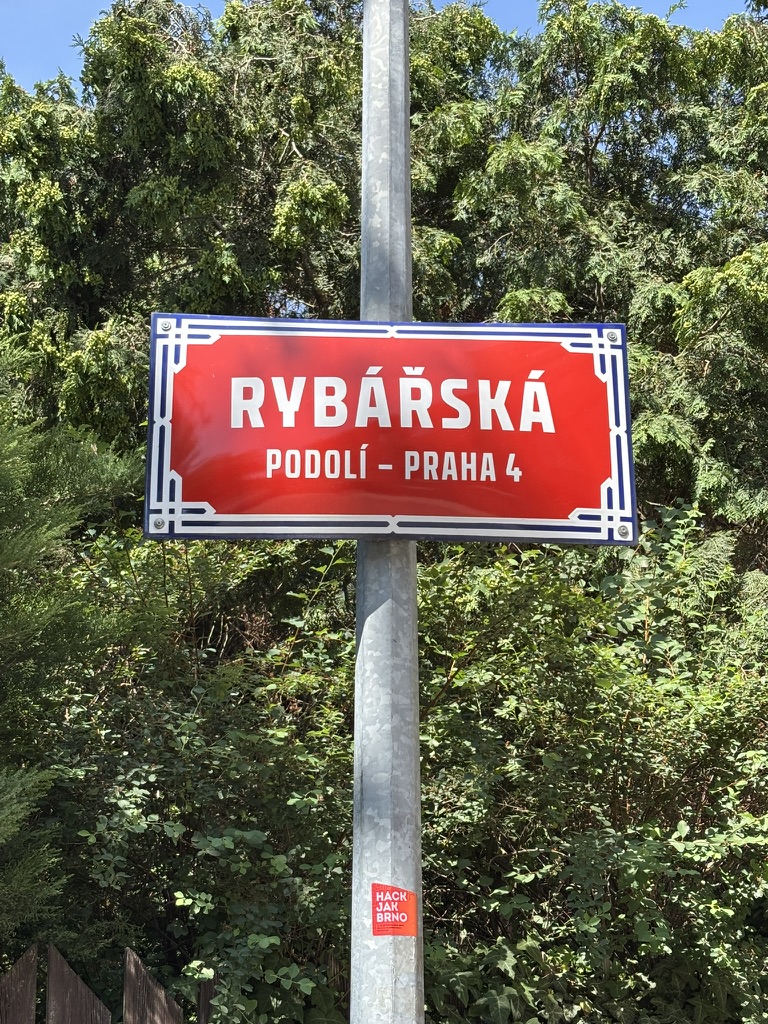
Also historically spending a lot of time by the river? Fishermen, or, in Czech, rybáři.
If you’re into a bit of fishing/angling (rybářství) yourself, you will need a rybářský prut (a fishing rod), a fishing net (rybářská síť) and some rybářská výstroj (fishing gear) generally.
Depending on where you’re fishing, you may also need a rybářský lístek (fishing permit) and, if the banks of the river aren’t enough for you, a rybářský člun (fishing boat).
However, in Czech, you don’t go fishing for compliments, but you can go hunting for them (you could say that somebody ‘Loví na komplimenty’).
From 1906 to 1924, it was named Libušino nábřeží, and for the mythical figure of Libuše, see https://whatsinapraguestreetname.com/2024/08/23/prague-2-day-93-libusina/. This is how Vyšehrad, where Libuše supposedly predicted the future existence of Prague, looks while you’re waiting for the tram here.
Like Rašínovo nábreží, it was named Karl-Lažnovský-Ufer during World War II, after a journalist sympathetic to the Nazi occupation.
In 1951, Rašín Embankment was again separated: present-day Rašínovo was called Nábřeží Bedřicha Engelse (Bedřich = Friedrich), and present-day Podolské was named Nábřeží Karla Marxe. Probably not much need for me to explain who they were.
Just to make things more complicated: in 1935, the part of the embankment south of Podolská had already been named as Podolské nábřeží.
In 1990, the already-existing Podolské nábřeží and the pre-existing Nábřeží Karla Marxe became one street. Given the latter was not exactly flavour of the month in 1990, the whole street took on the name of the former.
Finally, there’s this stunner, but to say any more about it right now would do me out of material for an upcoming post.
On 24 August 1968 – three days after Soviet troops had invaded Czechoslovakia – two 15-year-olds, Karel Paríšek and Karel Němec, were in a car on Podolské nábřeží, being driven home after distributing leaflets condemning the occupation.
A Soviet patrol shot at the car repeatedly. The driver survived; the two boys did not.
A plaque at number 14 commemorates this senseless event.
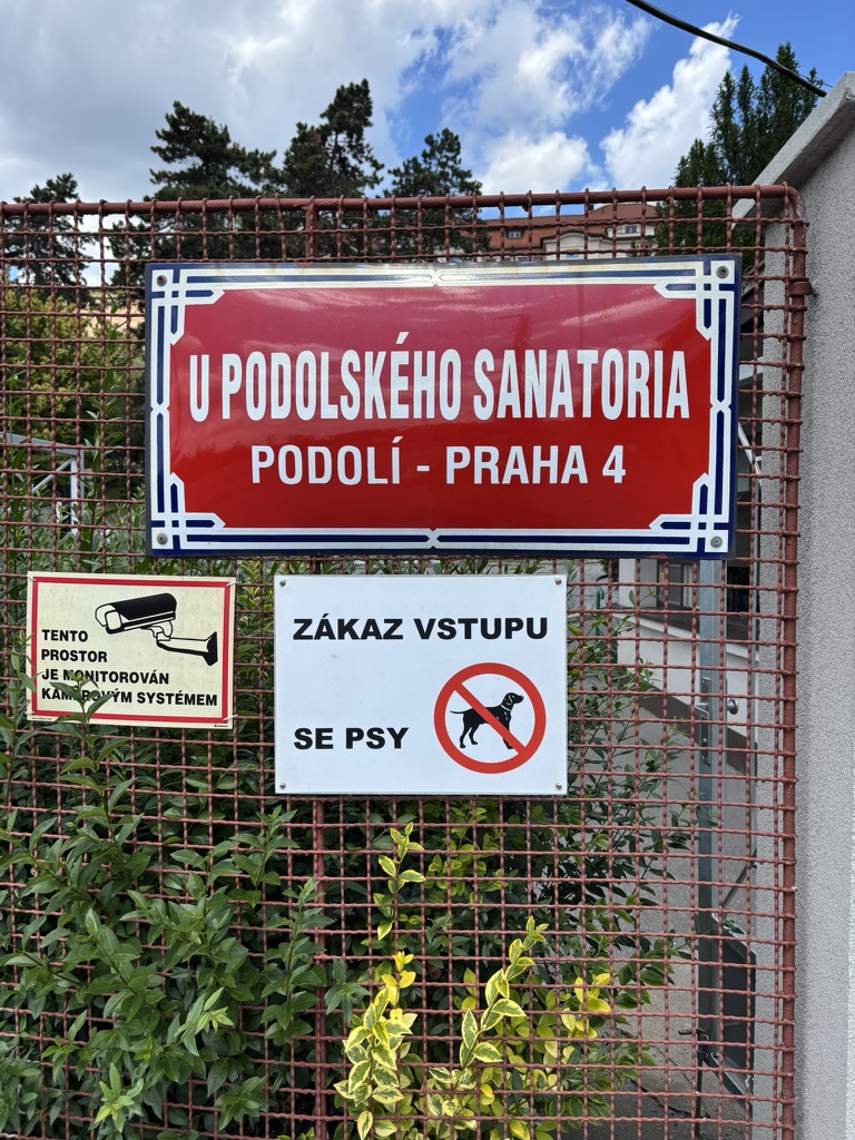
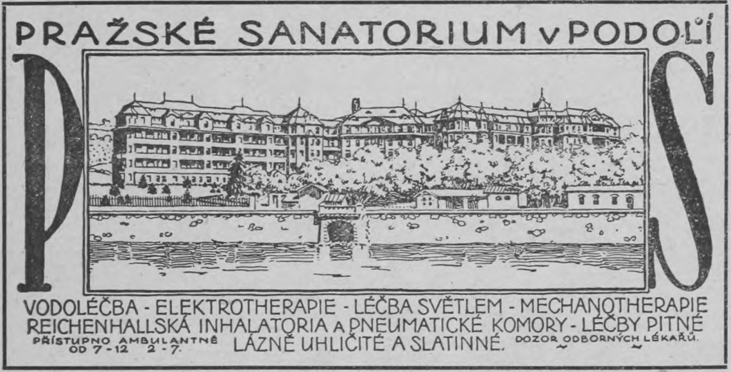
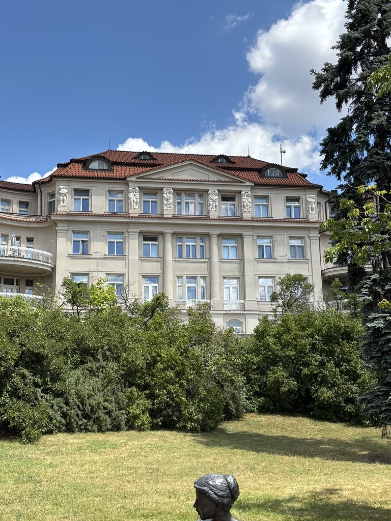
Designed by architect Rudolf Kříženecký, it consisted of five interconnected buildings, with specialist institutes, operating rooms and various baths.
Construction started in 1910 and was completed in 1914, with the facility inevitably serving as a temporary hospital operated by the Red Cross during World War I. The complex returned to its original purpose when the war ended.
During World War II, it was confiscated by the Nazis and served as a sanatorium for members of the SS; after the war, it was used to treat concentration camp returnees who were suffering from tuberculosis.
In 1946, the complex was transferred to the Ministry of Education and Public Education, who intended for it to be used to provide healthcare to mothers and their children.
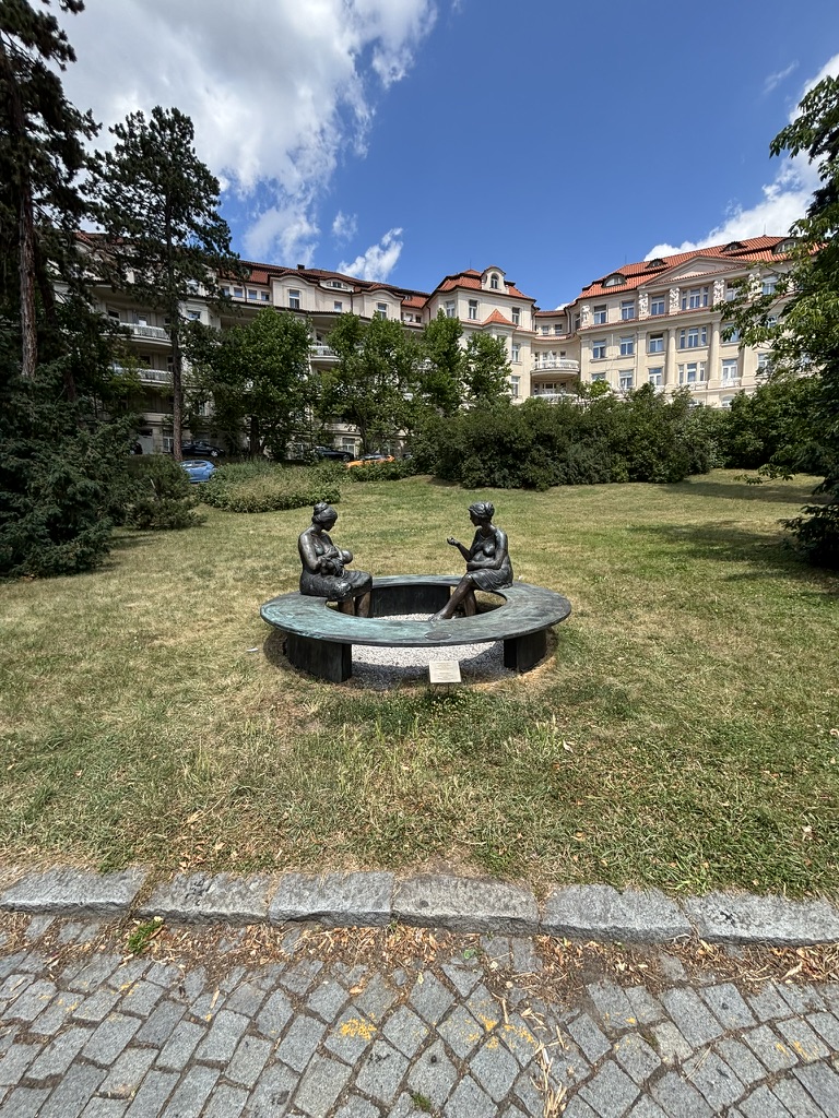
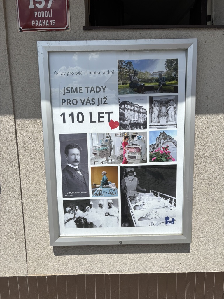
Since 1951, it’s been known as the Ústav pro péči o matku a dítě (Institute for Mother and Child Care); it’s colloquially known as the Porodnice v Podolí (Podolí Maternity Hospital). It cooperates with many national and international organisations, including the WHO.
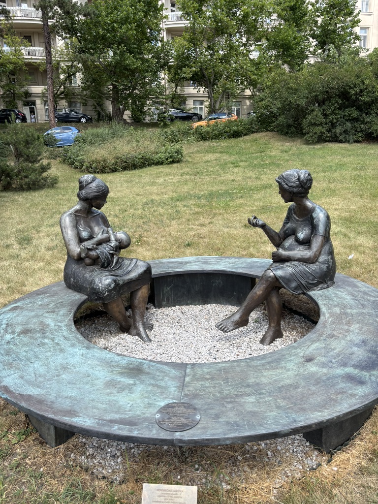
This sculpture at the entrance is by Czech-born Canadian artist Lea Vivot.
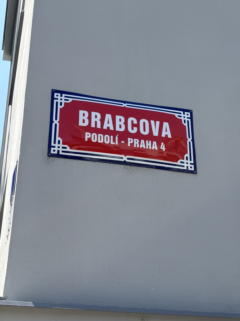
It’s not been easy to find information on this one. Apparently, Karel Brabec was born in 1909, was a labourer, and a member of the Communist Party of Czechoslovakia.
He was executed in 1942 for taking part in resistance activities.
Before 1952, the street was named after Hynek Krušina z Lichtenburka, a noble who first fought on the Hussite side in the 1400s, then on the side of the Catholics.