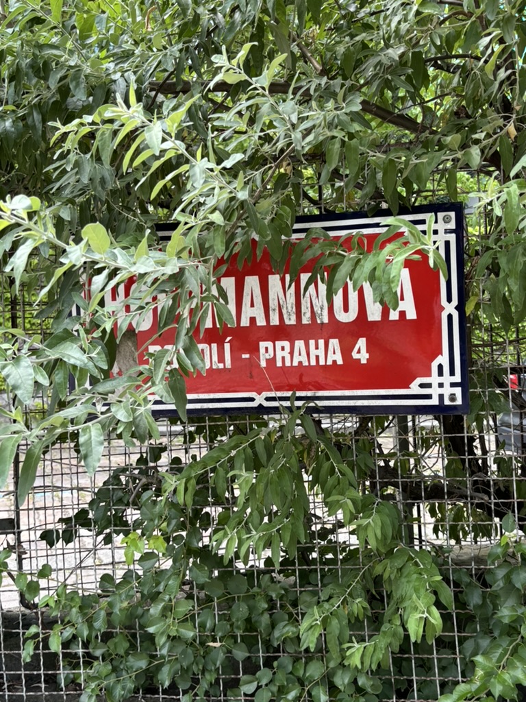
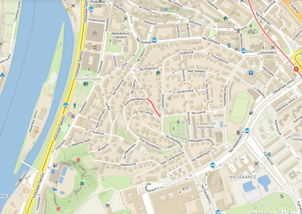
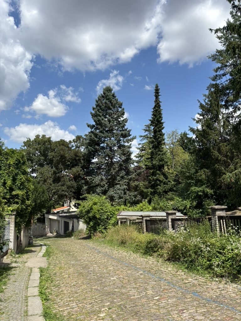
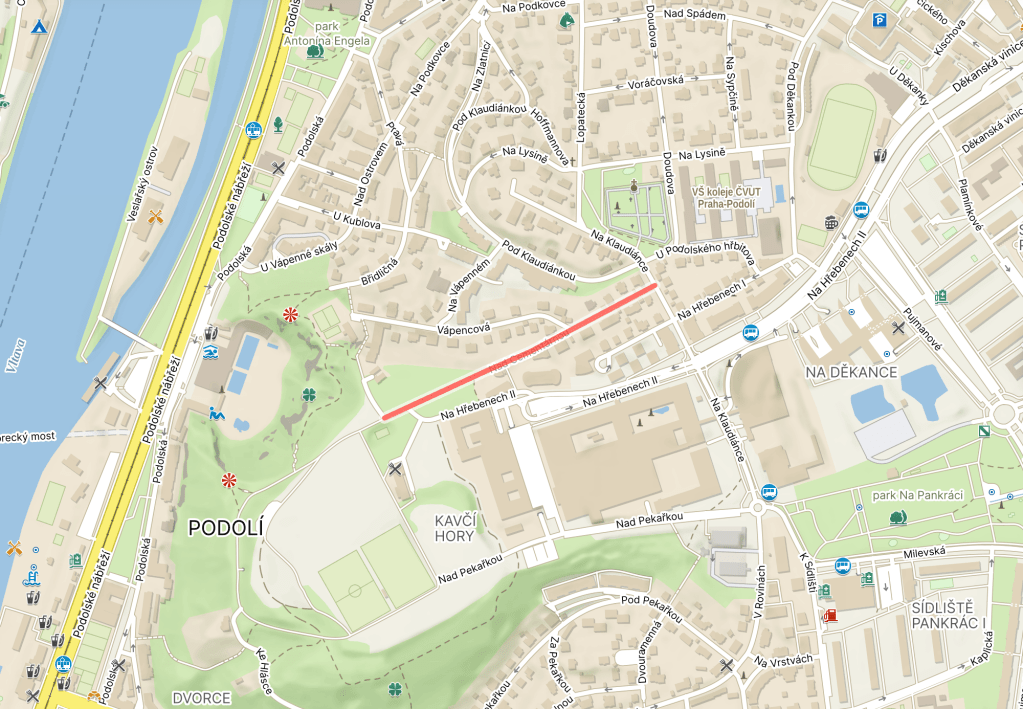
Hoffmannova was built in 1925, but remained nameless until 1955.
The whole namelessness thing starts to make sense when you see that it feels more like a ye olde village road than anything else.
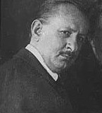
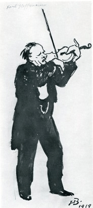
Karel Hoffmann was born to a poor family in Smíchov in 1872, initially living near Anděl, then at Bertramka.
As a child, he was given a violin as a way to earn some money from the family; he progressed well and, in 1885, passed the entrance exam for the Prague Conservatory.
He studied there for seven years; in his fifth year, he became concertmaster of the school orchestra, and, in his final year, he became part of a string quartet, on first violin.
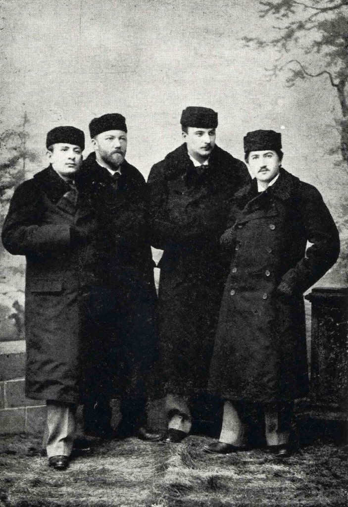
When he graduated in 1892, Hoffmann stayed with the quartet, which became known as the České kvarteto. In its most famous incarnation, its other members were Hanuš Wihan (violoncello), Oskar Nedbal (viola) and Josef Suk (second violin).
From 1898, Hoffmann started to give solo concerts, both in Prague and internationally.
In 1899, Hoffmann married Marie Mokrá; they had a daughter, Dagmar, in 1901. Unfortunately, Hoffmann’s focus on his work led his wife to run off with Oskar Nedbal – a Kvarteto member – in 1906. Nedbal was understandably replaced by Jiří Herold in the same year.
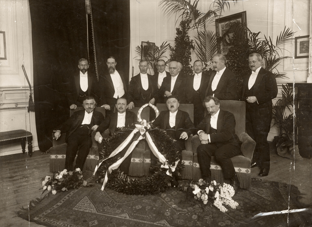
World War I seriously dented the Kvarteto’s opportunities, but they started touring internationally again once the war had come to an end (here they are in the Netherlands in 1920).
In 1922, Hoffmann was appointed as a professor of the violin at Prague Conservatory. In 1926, he became its rector.
Josef Suk retired from performing in 1933, and Jiří Herold died in 1934. Hoffmann founded a new group – České trio – but this was short-lived, as, in 1936, Hoffmann died of cancer. He is buried at Vyšehrad.
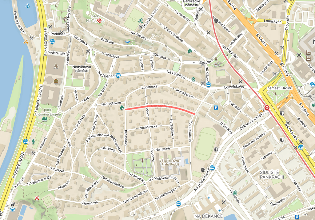
‘Spád’ can be translated as ‘momentum, ‘speed’, ‘cadence’, ‘flow’ and much else besides.
In the context of this street, it would be a ‘gradient’, ‘slope’, etc., and ‘Nad spádem’ denotes that the street is above one.
Continuing the theme of publishing companies quite liking setting up their headquarters in Podolí, number 10 is the home of PROSTOR, which focuses on publishing social science works, as well as publishing journalism and fiction.
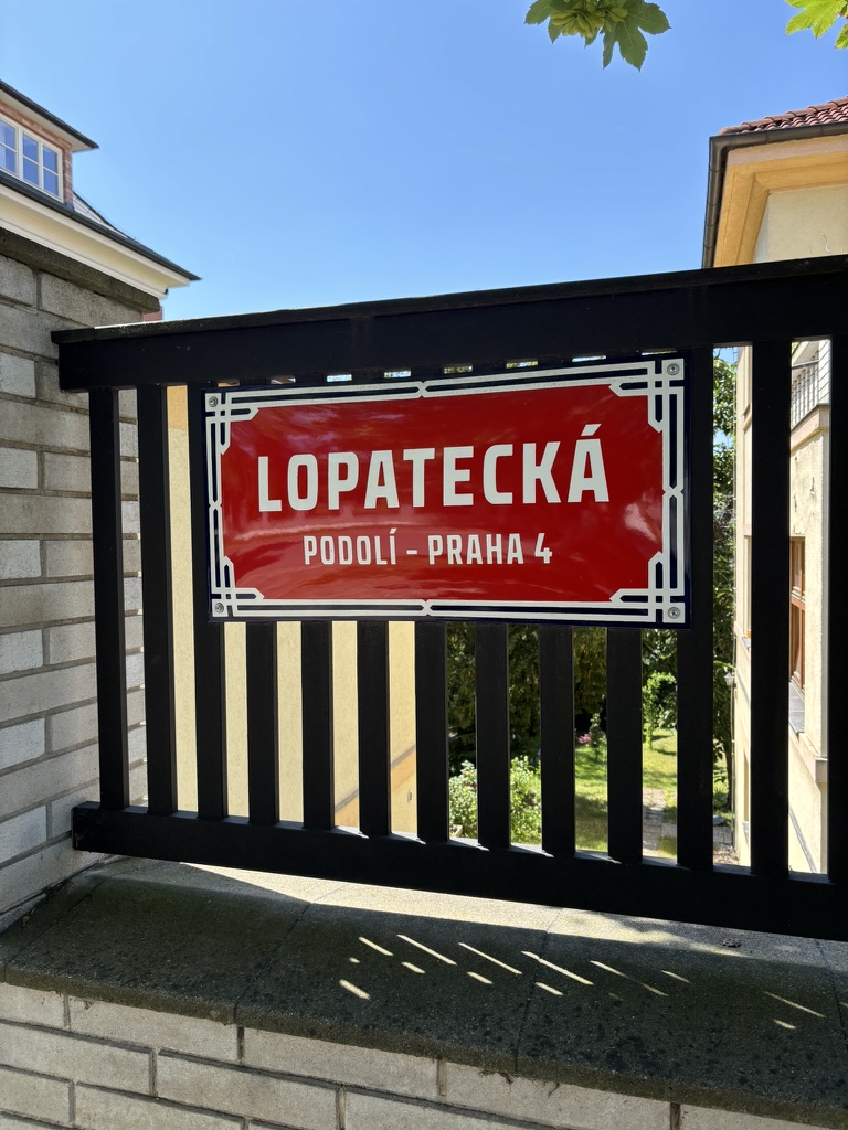
Once upon a time, there was a homestead where the street is now. Its name was Lopatecká.
In the 1920s, a modernist villa was built on the spot where the homestead had stood (at number seven). It was designed by the architect Eduard Hnilička.
I’d love to talk about who it was built for, but that’s either a day 130 or a day 131 kind of story.
I’m less inclined to talk about whoever was owning it in 2009, because they submitted an application for the house to be demolished. Not only was this rejected, but that application really didn’t work out – since 2011, number 7 has been a listed building.
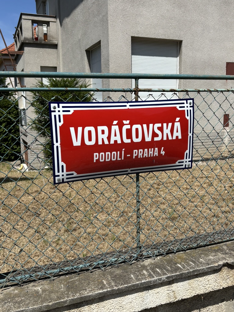
Apparently a previous name for the immediately surrounding area – presumably because of someone whose surname was Voráček, but all the ones listed on Czech Wikipedia were born too late for it to be them.
I’m going to assume there was a villa, a farm or a vineyard involved. Based on previous posts, that seems like a safe bet.
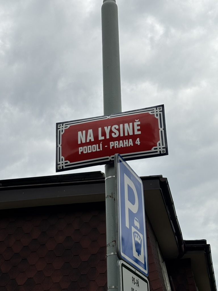
‘Lysina’ isn’t in common use as a word in modern Czech, but it exists in present-day Slovak, where it’s a bald spot. In Czech, that would be a ‘pleš’.
‘Łysina’, in Polish, means the same thing, but can also be used colloquially to denote an area devoid of vegetation.
It seems that the area round here was known as ‘Lysina’ for this reason, although that’s quite amusing to me, because, when I lived round there (and when I went back to take the street sign photo), it was very green indeed.
Na lysině is home to dorms used by the Czech Technical University (ČVUT), as well as the Čtyřlístek publishing house.
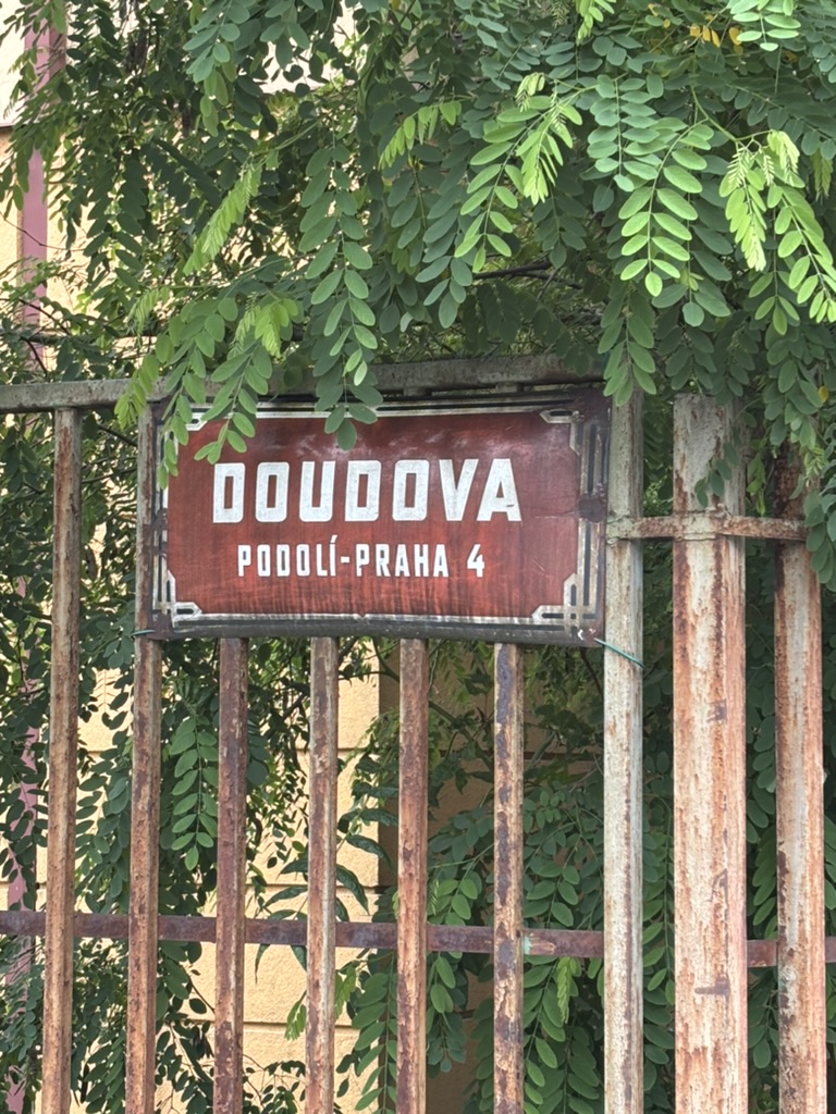
In 1913, he was part of the Czech team at the 6th World Artistic Gymnastics Championships, which took place in Paris. The team earned a gold medal in the team competition.
While in Siberia, Douda made a set of chess pieces for his comrades. They’re held in the archives of the National Museum: https://www.esbirky.cz/predmet/16531696.
So, let’s take advantage of that and tell another story, that of the ‘číslo popisné’, literally ‘descriptive number’, AKA the unique number assigned to each building in Prague in addition to its street-specific number.
‘Conscription numbers’, AKA Konskriptionsnummer, or orientation numbers, first became a thing during the reign of Maria Theresa (you may not be surprised to know that the Hofsburg in Vienna was numbered as ‘1’). Numbers were usually assigned based on when the houses had been built.
There were so many changes in the system that, a hundred years later, some buildings were already on their fifth number. One effect of these multiple changes is that the word Hausnummer can be used to mean a ‘ballpark figure’.
In Vienna, a ruling in 1894 declared that ‘as we know them’ number had to be shown on the front of each building, whereas the orientation number had to be recorded somewhere inside the house that was accessible to all residents. This was repealed in 2001.
The Viennese never quite got round to thinking the orientation numbers were something that mattered; the Czechs and Slovaks clearly disagreed, as the system is still in place today.
I decided to crowbar this into today’s post because the highest possible číslo popisné is 9999, and Pod Klaudiánkou gets quite close to that with a 9995.
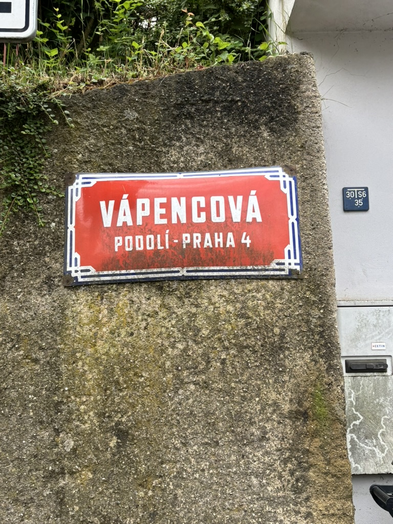
‘Vápenec’ is limestone. If you’re looking to me for advice on anything scientific, you need to get off the internet now, but here goes:
Limestone is a fine-grained to solid sedimentary rock, of which over 80% is composed of of calcium carbonate (CaCO3) in the form of calcite or aragonite.
Limestone is slightly soluble in rainwater, which is why areas containing it often become eroded and turn into karst landscapes.
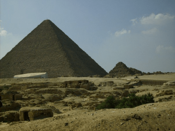
It’s very common in architecture, and has been for a long time – as best evidenced by the Giza Pyramids (photo from my one trip to Egypt in 2007).
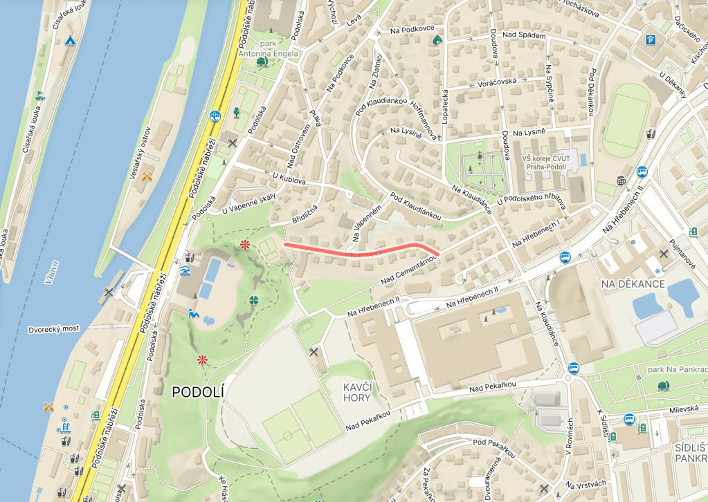
Back in Podolí, limestone quarries also exist around here, hence the name of the street.
I lived on this street from 2006 to 2007, and, when I took the street sign photo, it was the first time that I’d been around there since. I’ll spare you all the thinkpiece, but I can’t describe how much more settled and comfortable with myself that I am now.
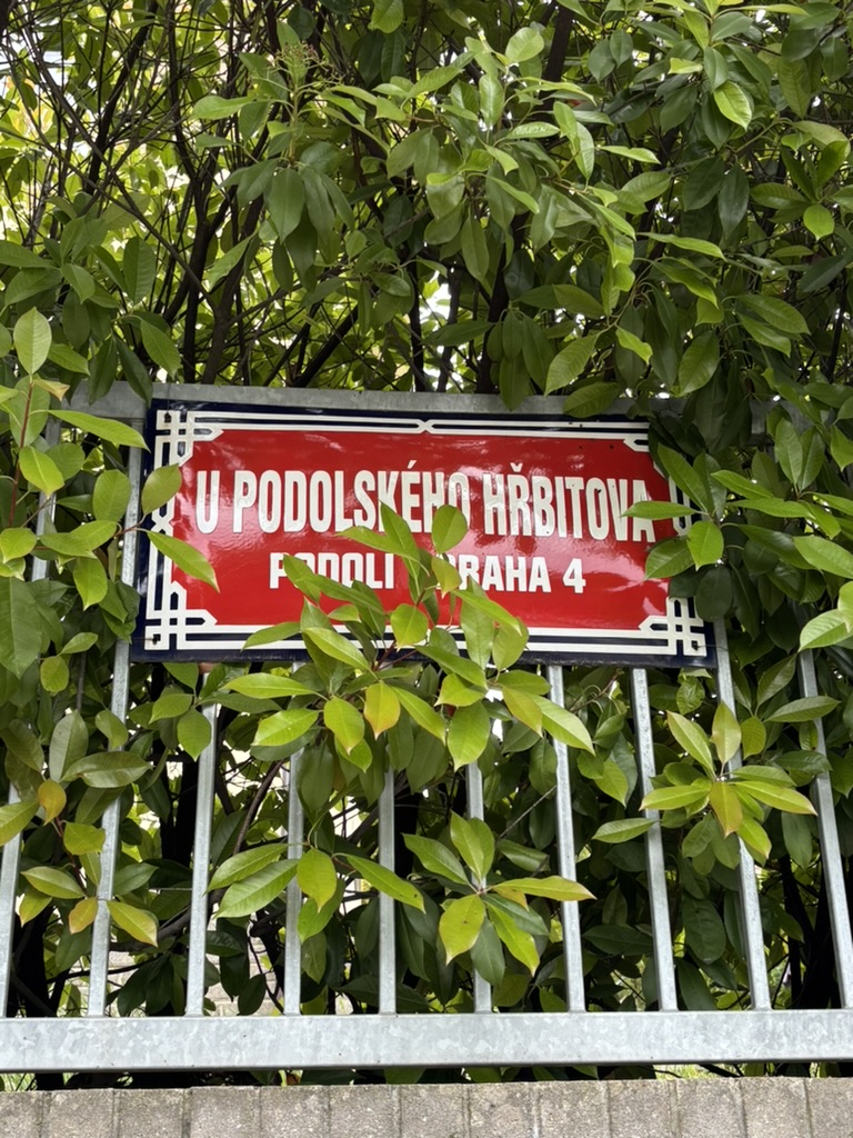
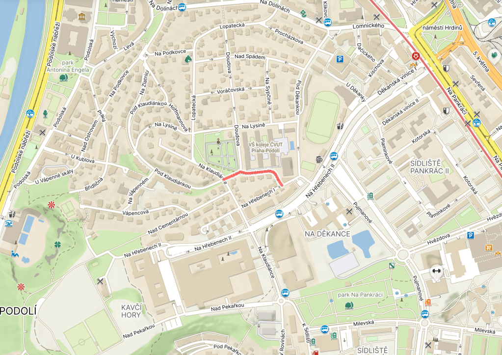
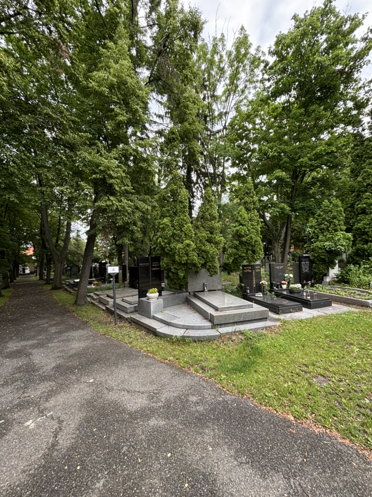
There’s a street in Podolí which is called Pod Vyšehradem; it’ll get its own post soon enough, but for now it’s enough to say two things. Firstly, it is, indeed, below Vyšehrad.
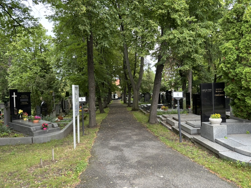
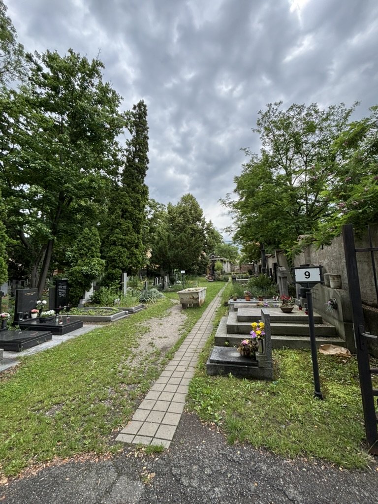
Secondly, it has a church called the Church of St. Michael the Archangel. The church was accompanied by a cemetery which served the then-separate town of Podolí.
In 1885, however, a new cemetery was founded here; the cemetery at the church was closed down and turned into a park.
In 1912, the (no longer very) new cemetery was doubled in size.
As well as its twelve tombs, it has about 1,200 graves. The most well-known people buried there are arguably composer Václav Trojan (1907-1983), neurophysiologist Jan Bureš (1926-2012) and film director Bořivoj Zeman (1921-1991).
False friend alert: a ‘cementárna’ is not a cemetery, even though one is nearby and has given its name to a street in the area. It’s a cement factory.
Such a factory was opened in Podolí in 1871. It soon ran into financial difficulties, as the Vienna Stock Exchange crashed in 1873, but it survived due to its strong share capital.
A fire in 1879 also had a negative effect on the factory’s productivity, although things got back on track about five years later. Having leased the limestone quarries in Braník shortly after it opened, the factory purchased further quarries in the area in the 1890s.
Production nosedived again during World War One; while things picked up afterwards (thanks, also, to reconstruction of the plant), 1929 brought another fire and the Great Depression, and the factory’s days were numbered.
Operations ultimately ceased in 1941. The location of the factory is now the location of the Podolí swimming baths, which opened in 1965.
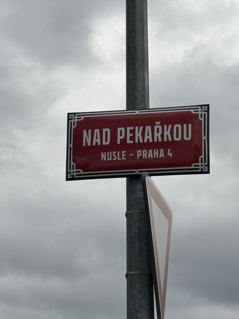
‘Pekařka’ translates as ‘baker’ (female). It was also the name of a farmstead which came into being in the early 1800s and was located around here. It later gained an inn, Na Pekařce.
In the second half of the 20th century, the area was used by Polygrafia, a printing company, at least until the 1970s, when the former farmstead was demolished.
Until 1952, the street was called V rovinách II. I’ll say no more until we get to V rovinách (‘I’ no longer required).
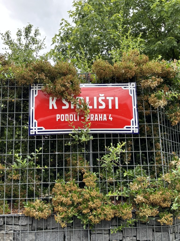
A ‘sídliště’ is a settlement, but it’s also the term for a housing estate – a residential area with multi-storey residential buildings – panel houses, or, colloquially, ‘paneláky’.
They were typically built around the country between the 1940s and the 1990s.
Pankrác Plain was already the site of extensive housing construction in the 1920s and 1930s, when Prague’s population swelled (in 1910, there were 667,000 people in the city; by 1930, there were 950,000).
In the 1960s, Pankrác gained not one but three housing estates, ingeniously named Pankrác I, Prankrác II and Pankrác III.
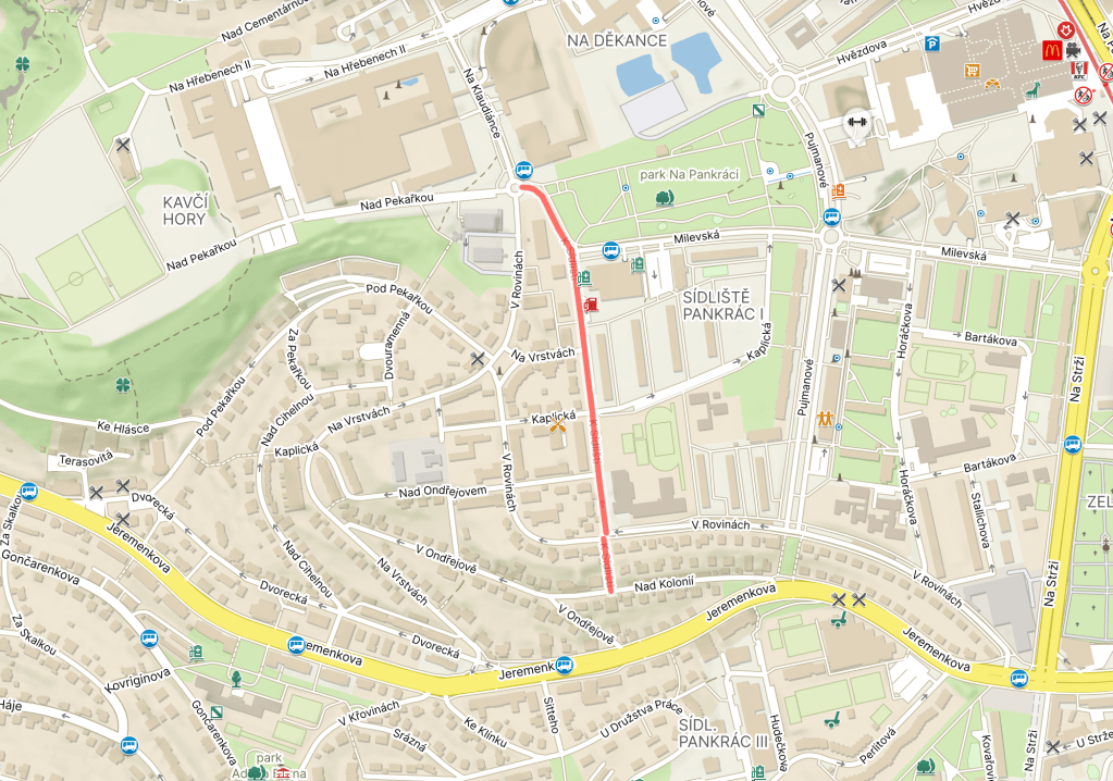
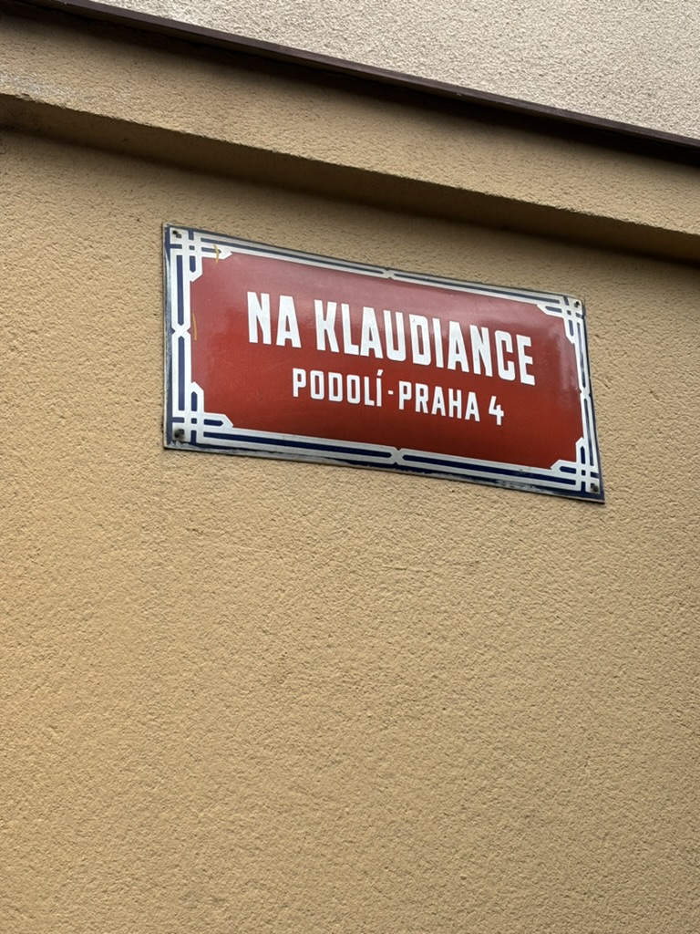
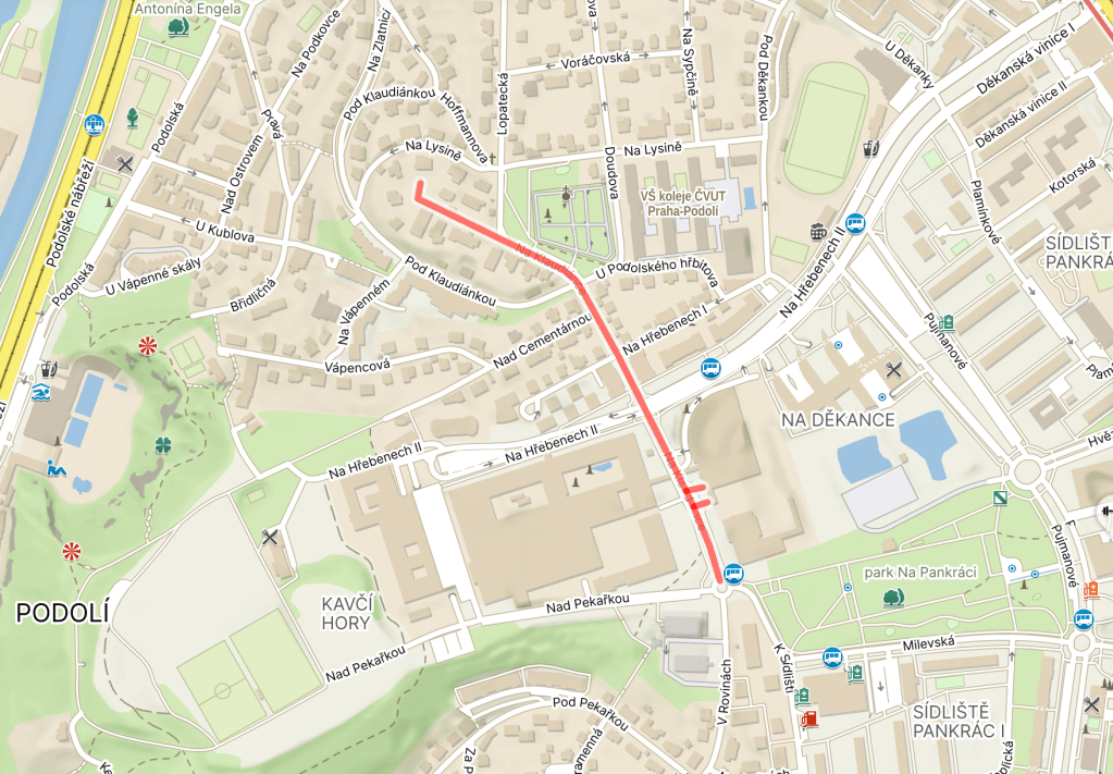
Eventually – no later than 1843 – a farmstead appeared in the area. Its name was Klaudiánka. Later, the owner turned it into a restaurant.
I don’t think this next part is related to the name, but I feel like telling it anyway, because when else: in 1518, a physician from Mladá Boleslav called Mikuláš Klaudián was the first person to print a map of Bohemia.
It was aimed at pilgrims travelling to Rome (which is why it faces south-up), and was known as Klaudiánova mapa.
Back to the street: at some point in the 20th century, the Klaudiánka restaurant was closed down and its building is now residential.
So let’s talk about the western part of Pankrác Plain, known as Kavčí hory, instead.
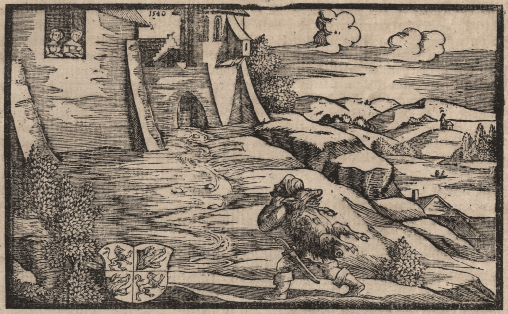
A ‘kanec’ is a wild boar. According to Czech mythology, a man called Bivoj caught a ‘kanec’ in the hills round here, and carried it to Vyšehrad in the hope that he would win the hand of Kazi, who was one of the daughters of Krok (https://whatsinapraguestreetname.com/2024/08/22/prague-2-day-90-krokova/).
By the 1800s, the area was known as ‘Kavčí hory’ (the noun from which the adjective derives is ‘kavka’, ‘jackdaw’). Not sure if there is anything jackdaw-specific to talk about, or if the name just became corrupted over time.
Say Kavčí hory to most locals, and they will automatically think of the headquarters of Czech Television, the country’s state broadcaster. There’s plenty to say about that, but I’m saving it for some of the other… less interesting street names that are coming up.
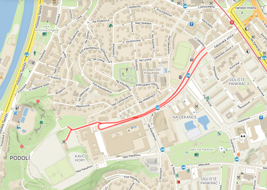
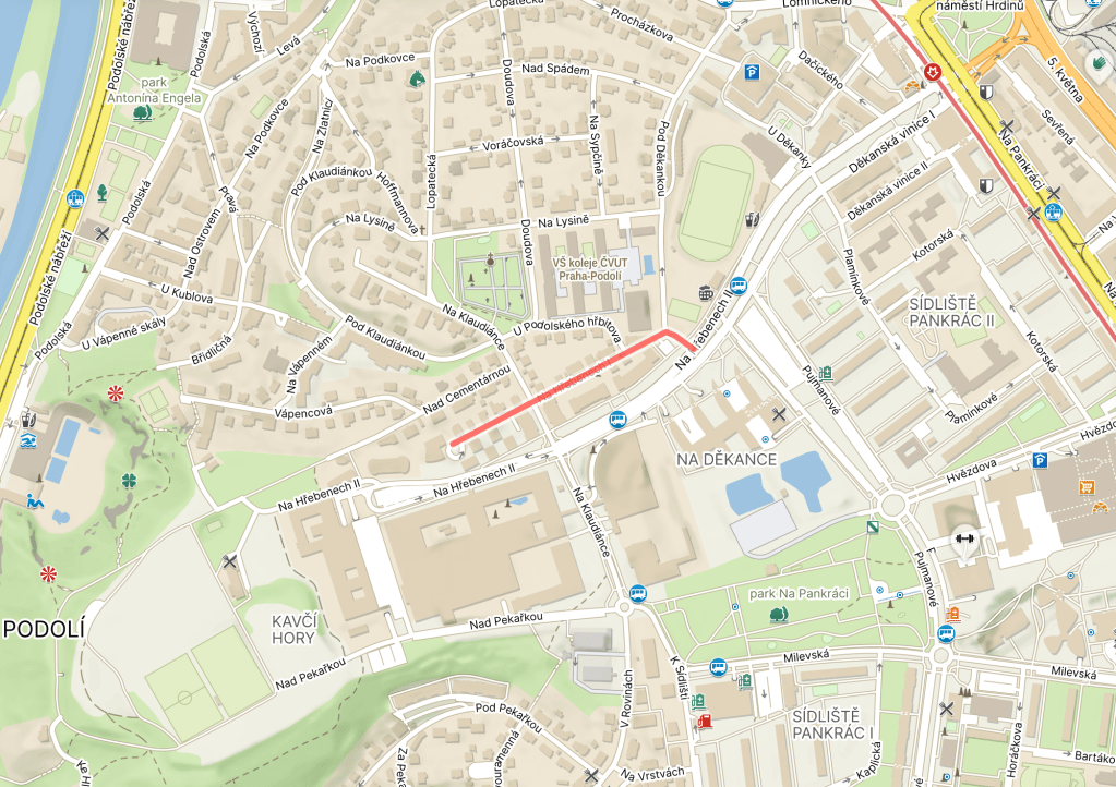
If you’ve heard the word ‘hřeben’ recently, it’s probably because you have to use one quite regularly (or you keep mislaying them and having to buy new ones) – it’s a comb.
It’s also the name for a geographical feature, though – it would be translated as ‘ridge’ or ‘crest’.
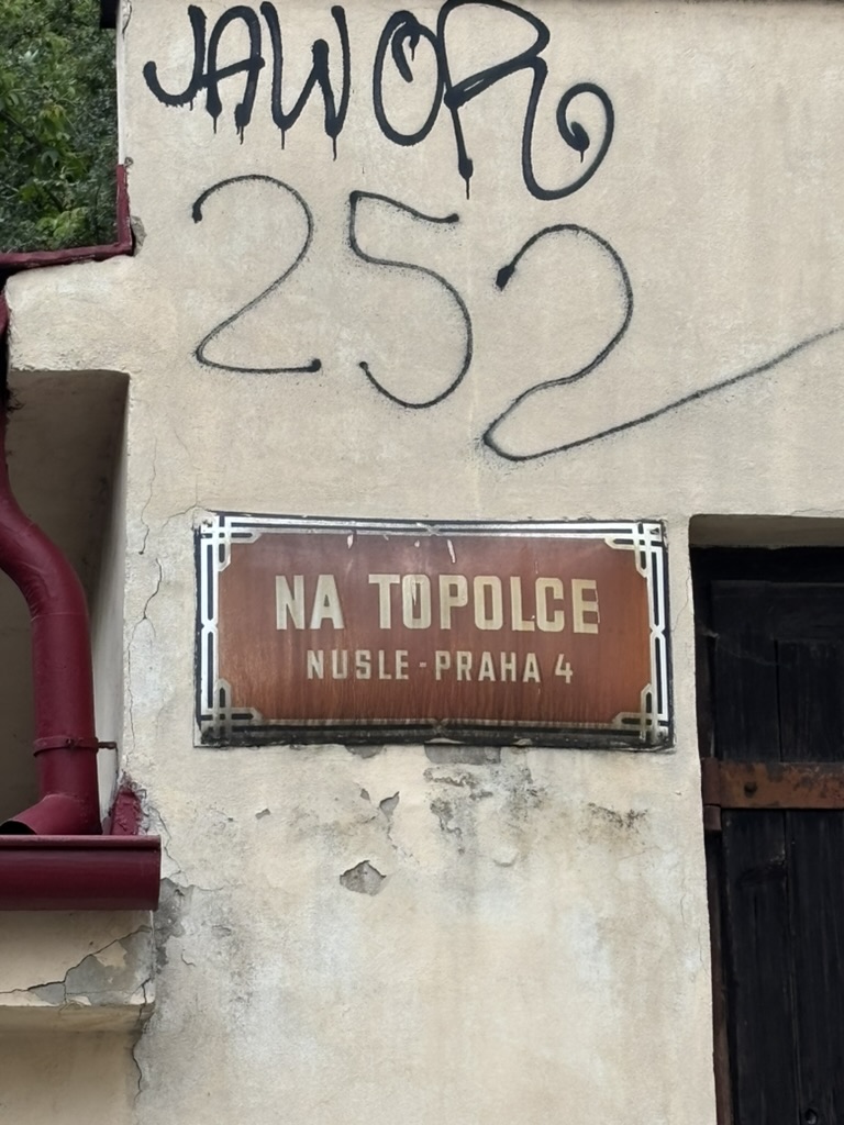
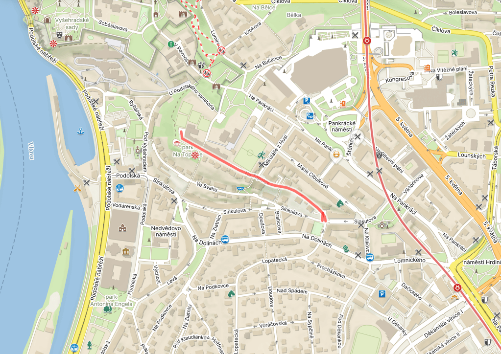
The story goes that drinking from this well would help you live a long life. The water was apparently not very safe in the 1980s, but ‘drinkable and tasty’ in 2016: https://www.estudanky.eu/1255-studanka-topolka.