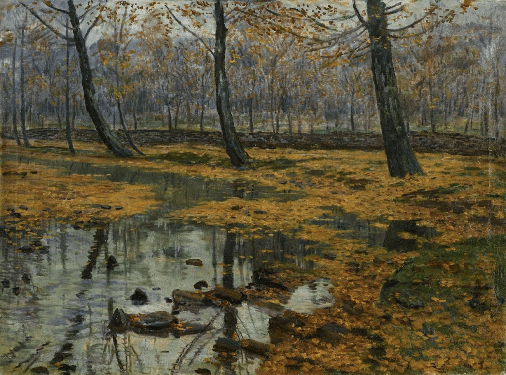
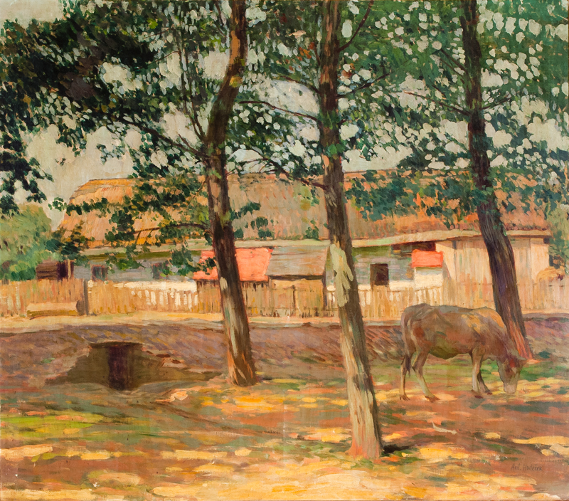
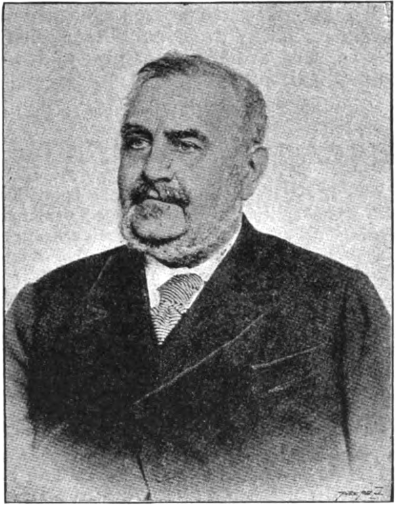
Antonín Hudeček was born just outside Ředhošť, near Litoměřice, in 1872. After finishing school in Roudnice, he moved to Prague in 1887 to study at the Academy of Fine Arts (AVU).
In 1895 – and after a two-stint of studying in Munich from 1891 to 1893 – he set up a workshop in Prague and formed a group with various painters, including Antonín Slavíček.
In 1902, Hudeček travelled to Italy, and painted multiple landscapes; he would continue with landscapes when he returned to Bohemia. A second trip to Sicily in 1909 resulted in an affair with the opera singer Mariana Vorlová – his friend’s wife – and an illegitimate son.
Hudeček continued to paint landscapes, including in Rügen, as well as in Slovakia (in the Tatras, the Banská Bystrica region) and Transcarpathia, then in Czechoslovakia but now in Ukraine.
Hudeček was appointed a full member of the Czech Academy of Sciences and Arts in 1930; he died at home in Častolovice, near Rychnov, in 1941.
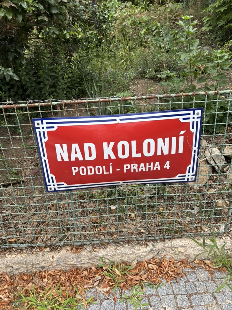
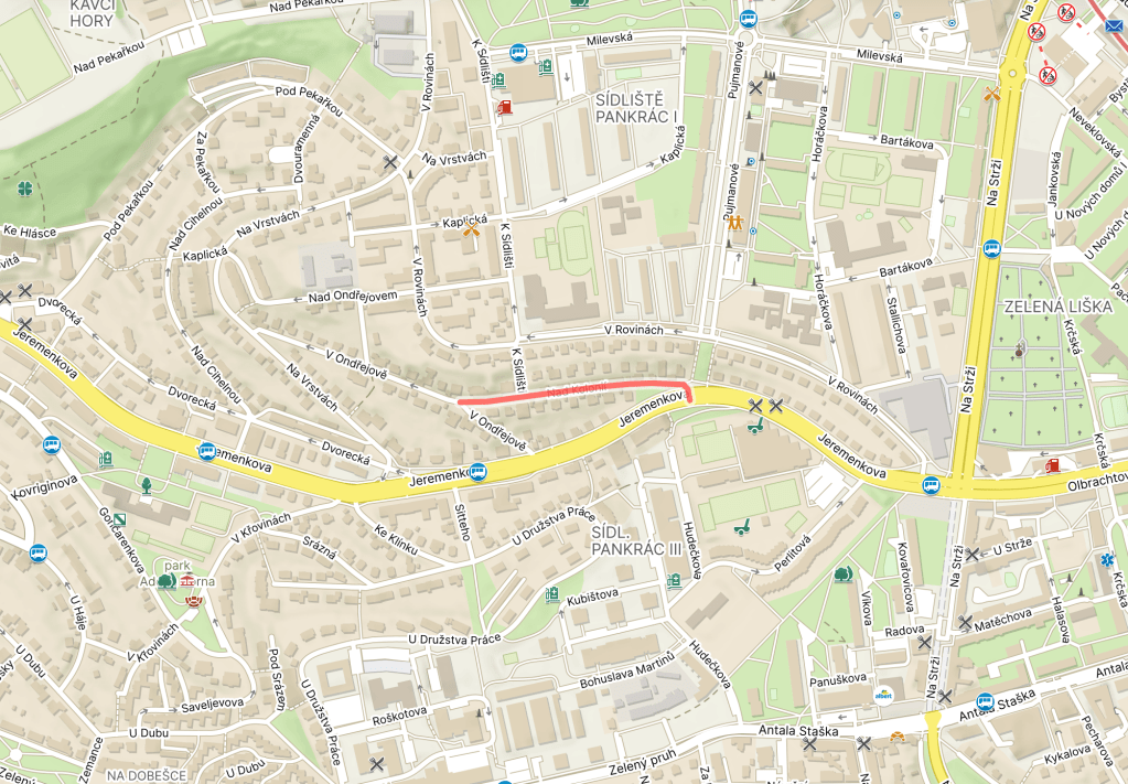
In order to compensate for the lack of new content: a ‘kolonie’ would also be a ‘rookery’ (if you’re talking about, for example, ravens, penguins or seals).
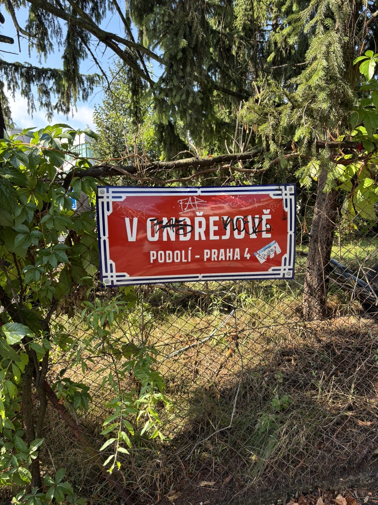
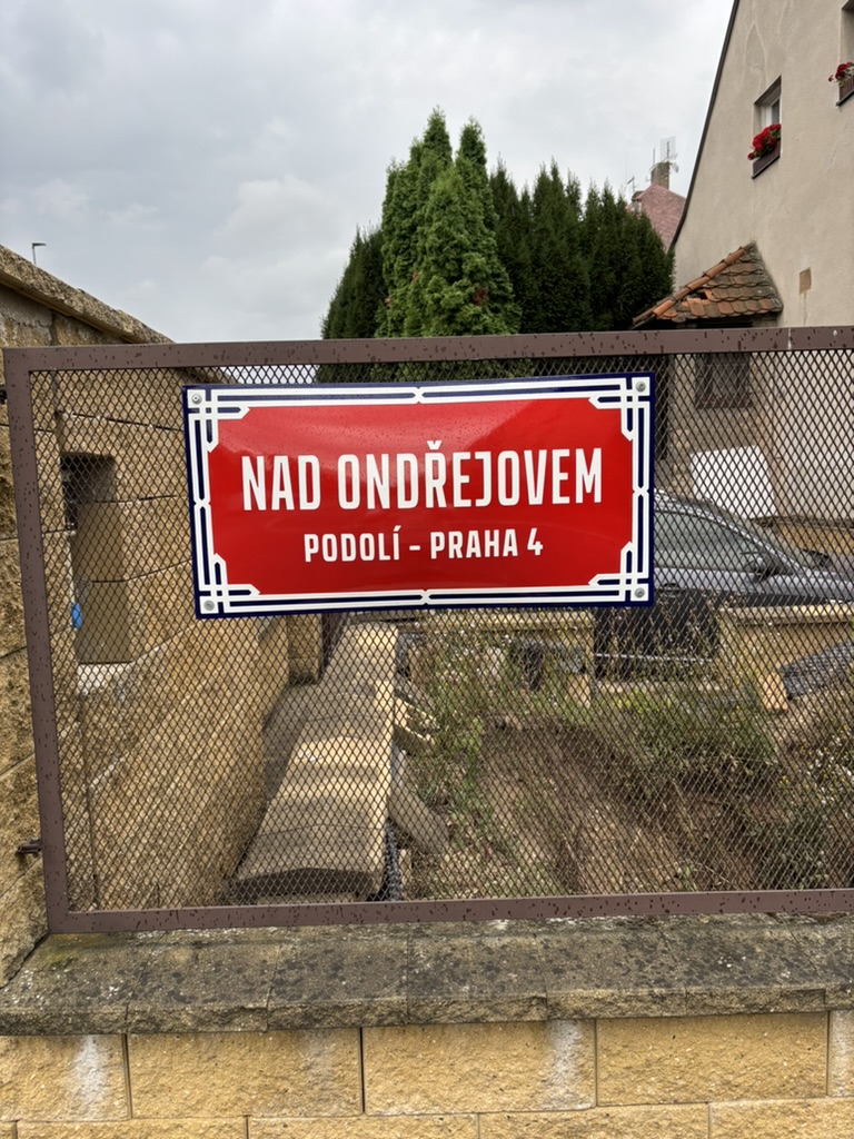
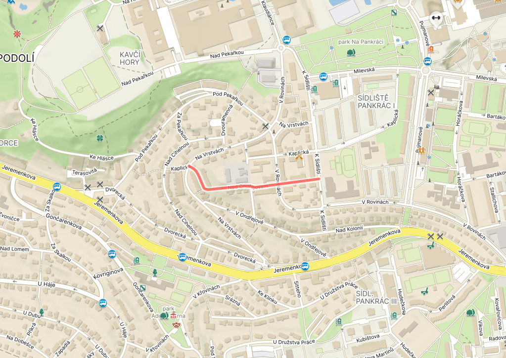
In order to make sure today’s post isn’t completely devoid of new information: Ondřejov is also the name of a former village which is now part of Prague-East.
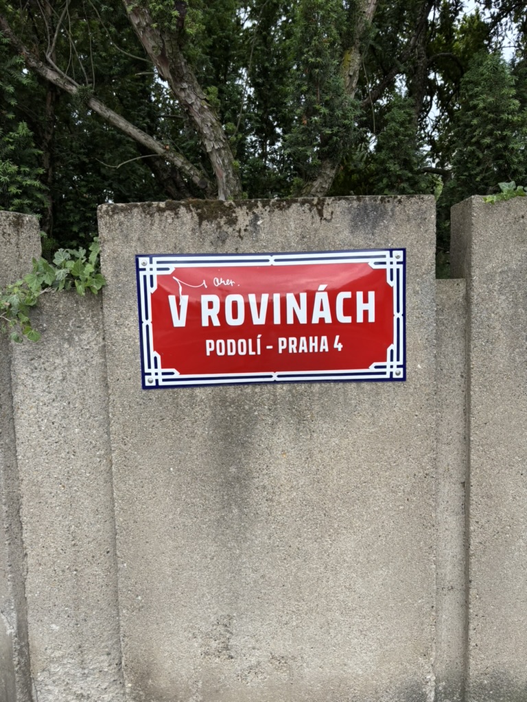
A ‘rovina’ is a ‘plain’, a ‘flat surface’, ‘flat land’, etc.
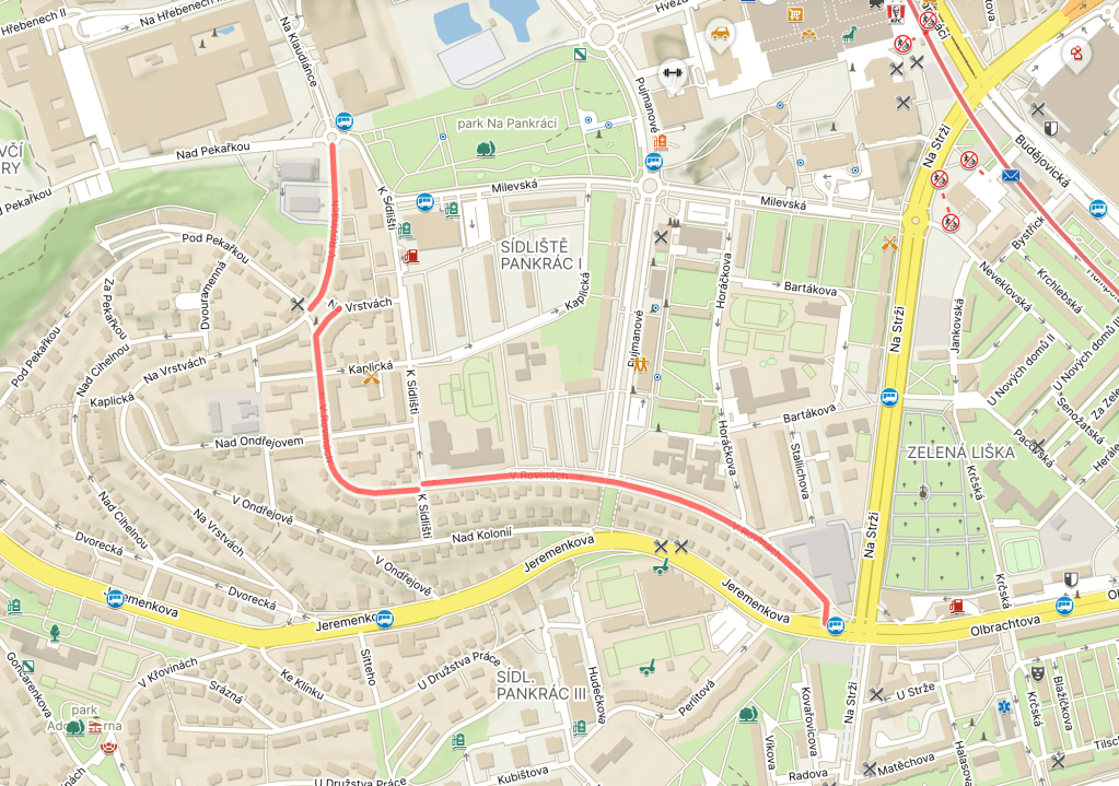
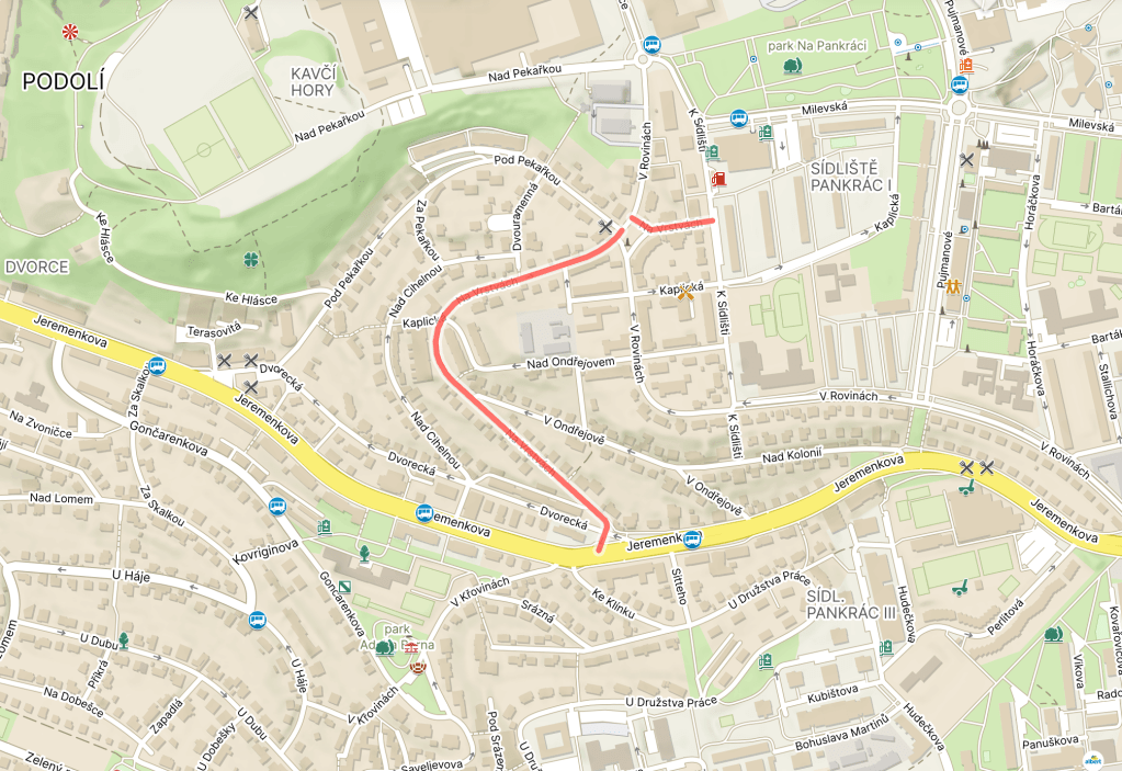
As far back as 1841, there were field tracks in Krč (where the southernmost tip of the road is located) which were called Rovina or V rovinách.
I was sceptical – there are some hills round here – but Google Maps reliably tells me that the 14-minute walk from one end of V rovinách to the other is mostly flat, albeit with some stairs.
Here’s some footage of someone getting arrested at number 48 in Případ pro zvláštní skupinu, a crime drama which was filmed in 1989 but not broadcast until 2003 (arrest is at 56:20).
The reason for the delay? The scriptwriter and detective fiction novelist, Ivan Gariš (1923-1996), was really called Antonín Prchal, and had been head of the State Security (StB) in the early 1950s, playing a key role in Operation Border Stone and the Slánský trial.
Which meant that, by 1990, this six-parter wasn’t really something Czechoslovak television was all that eager to broadcast.
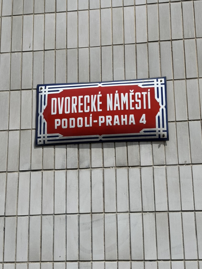
In the 1920s, Prague experienced unprecedented growth. For example, Podolí, which had had 4,048 inhabitants in 1910, had 8,097 in 1930, i.e. its population was exactly twice as much, plus one extra person, as it had been twenty years earlier.
This kind of population growth meant additional housing was needed, which resulted in emergency buildings being built in what became known as ‘nouzové kolonie’ – emergency colonies.
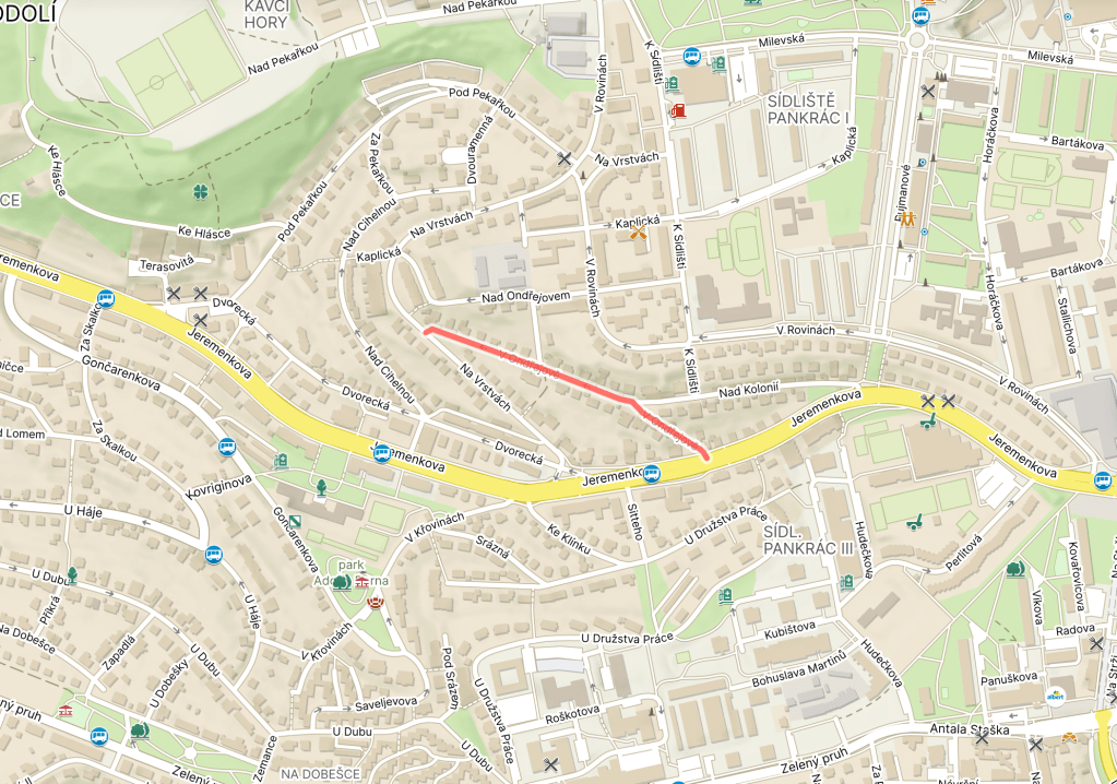
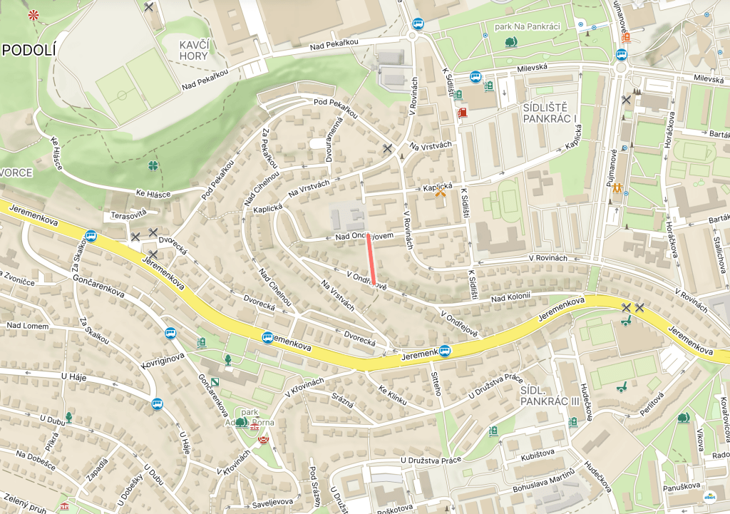
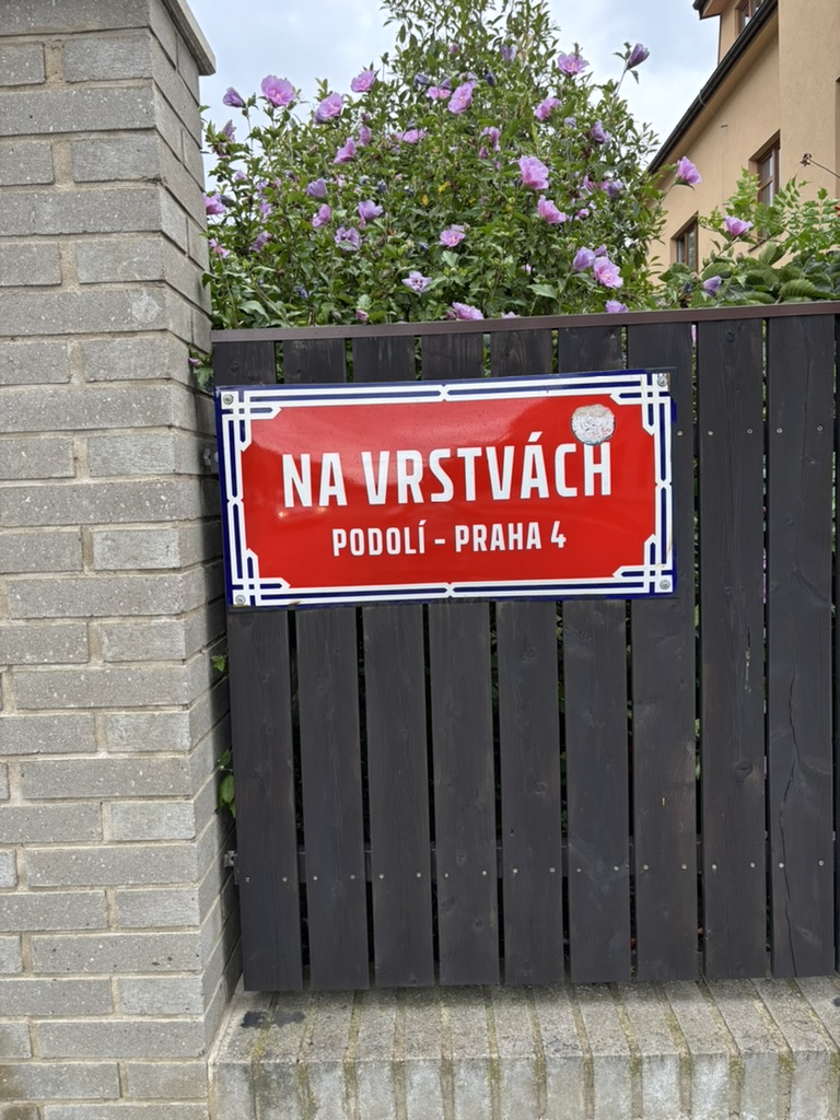
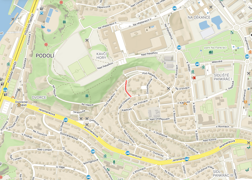
One such colony was build round here, and its name was Ondřejov, or Ondřejovská kolonie. It’s not easy to find much information about it, other than that it was built in the 1920s, but it must be have been pretty significant – it gave its name to at least two further streets.
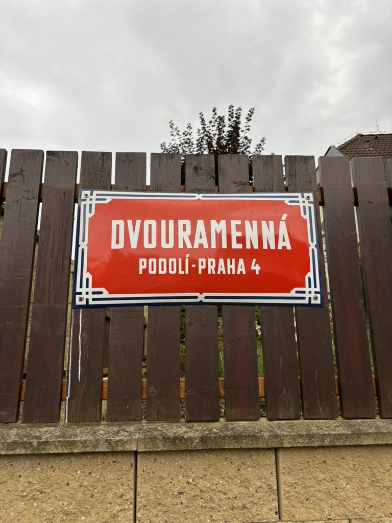
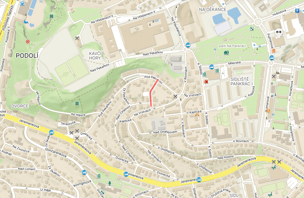
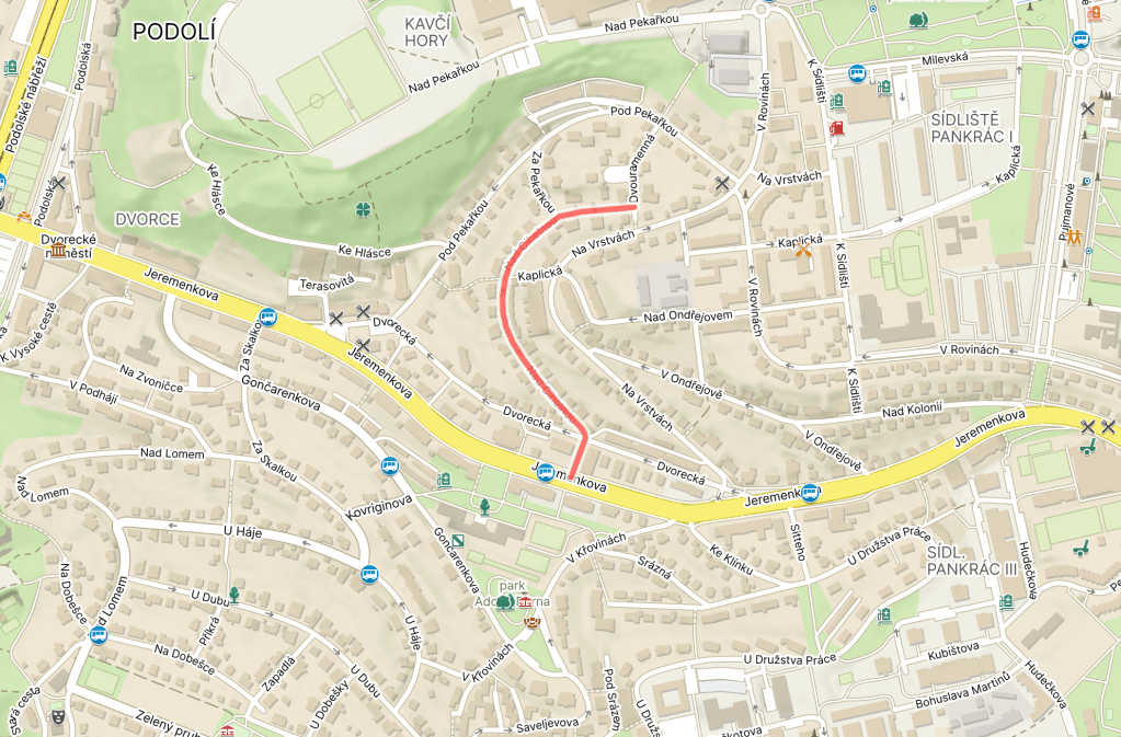
Dvourammená was built in the 1930s, but not named until 1947.
‘Dvou’ at the start of the word would translate as ‘two’ – ‘dvoupokojový’ means ‘two-roomed’, ‘dvousložkový’ means ‘two-component’, ‘dvourychlostní’ means ‘two-speed’, and so on.
Meanwhile, a ‘rameno’ is a shoulder if it’s on you or me, a ‘branch’ if it relates to a river, an ‘arm’ if you’re into physics (I’m terrible at physics, so no questions please), or a ‘leg’ in the unlikely event that you’re an isosceles triangle.
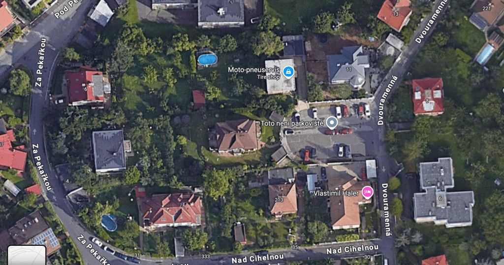
When the street was named, the city authorities justified its name by stating that it was because of ‘the nature of the street, which turns into two branches’.
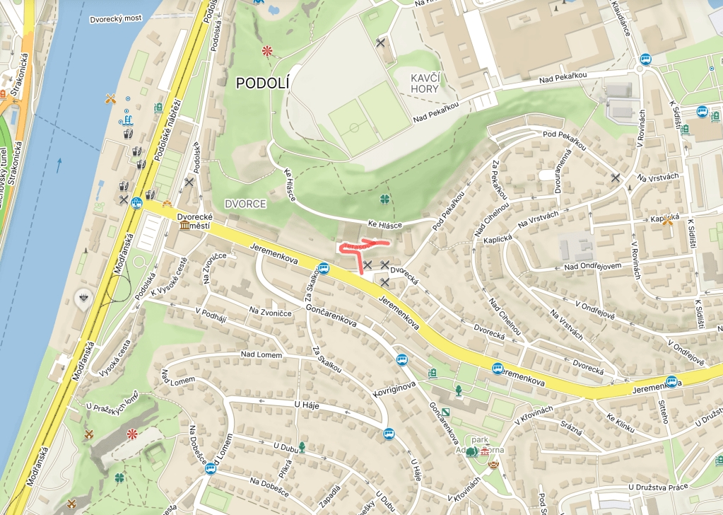
On Google Maps, somebody has helpfully marked the bit around which these two branches occur with ‘ This is not a car park’.
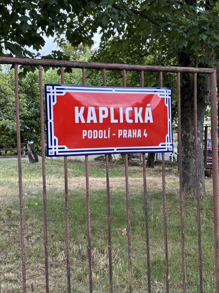
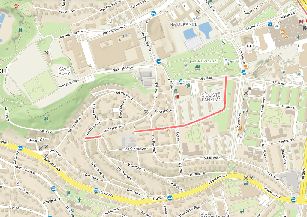
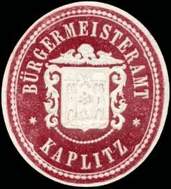
Kaplice is a town in South Bohemia, 20 kilometres southeast of Český Krumlov. It’s named after the Chapel of St Mary, although that no longer exists.
The earliest written mention dates from 1257, when Pope Alexander IV gave a church in the town permission to sell indulgences.
In 1382, Kaplice obtained town rights; by the 15th century, the town was mainly German-speaking (and known as Kaplitz).
In 1918 – when Kaplice ceased to be part of the Austro-Hungarian Empire and became part of the newly founded Czechoslovakia – the citizens of Kaplice objected and tried to join Upper Austria (Linz is only about 65 kilometres away).
The refusal from the local authorities was so strong that the 1st Czechoslovak Infantry Regiment, based in České Budějovice, had to be sent in.
In 1938, Kaplice would be annexed to Nazi Germany, and the Czech-speaking population was chased out. In 1945, the opposite happened – the Germans were forced out; between 1930 and 1950, the population fell by 21.5%.
However, by the mid-1980s, the population had more than doubled from its 1950 level. Nowadays, it has about 7,500 inhabitants.
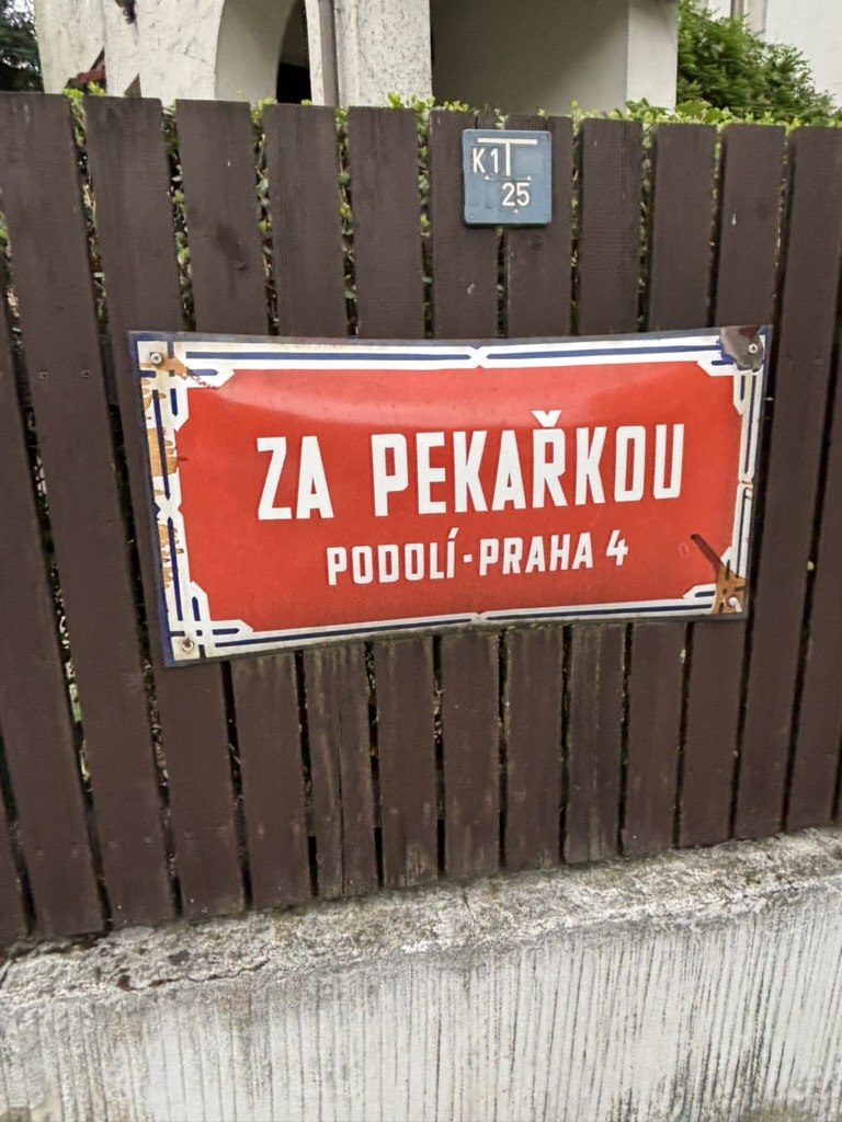
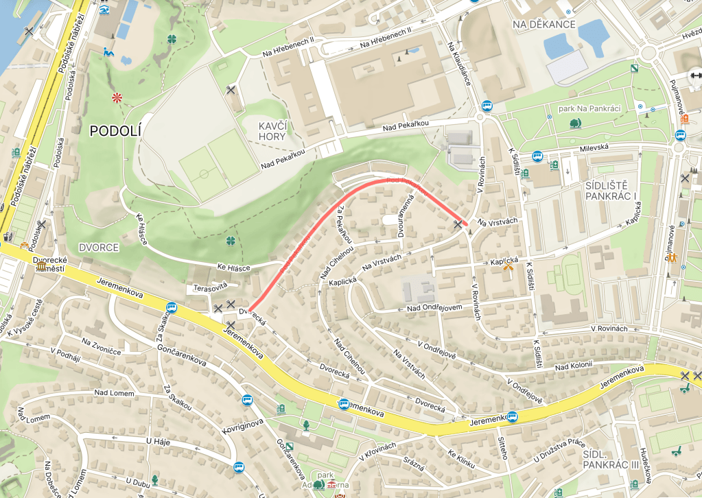
Pod Pekařkou is, yes, beneath said farmstead (and is about 35-40 years older than Nad Pekařkou. The perils of covering these streets in an order determined purely by which one you end up walking down first).
Type ‘hláska’ into most translation tools, and they’ll start telling you about a phone. However, they’re not talking about a telephone – in this sense, a ‘phone’ is any distinct speech sound. As in phonetics, phonemes, homophones, and so on.
However, a ‘hláska’ is also a watchtower, usually found as part of the fortifications of a medieval town. It can also be used to describe a traffic control station on a railway line, or, when called an ‘SOS hláska’, it’s an emergency (public) telephone).
Here’s a picture I took from a, erm, Great watchtower in February of this year.
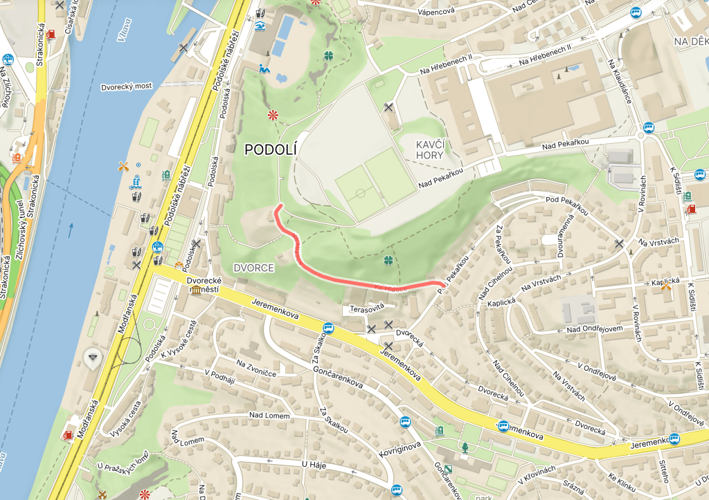
There’s a house at the top of this street (back in Podolí, not Beijing) that overlooks the surrounding valley – hence the area once being known as Hláska, and this street leading to the watchtower (Ke Hlásce).
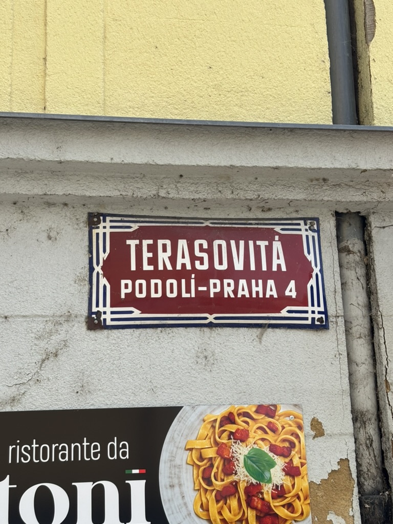
‘Terasovitá’ can be translated as ‘terraced’ or ‘tiered’.
And the residences in the street, built in the 1960s and 1970s, have some quite pleasing (and quite southern European-looking?) terraces, as best evidenced by https://pamatkovykatalog.cz/terasove-domy-20605427.
But it won’t be long before a significant addition to the things named after Dvorce – Dvorecký most is the name of the bridge being built across the Vltava between Podolí and the border of Hlubočepy and Smíchov in Prague 5: https://ekonomickydenik.cz/most-za-miliardu-je-vcelku/.
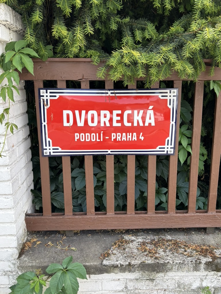
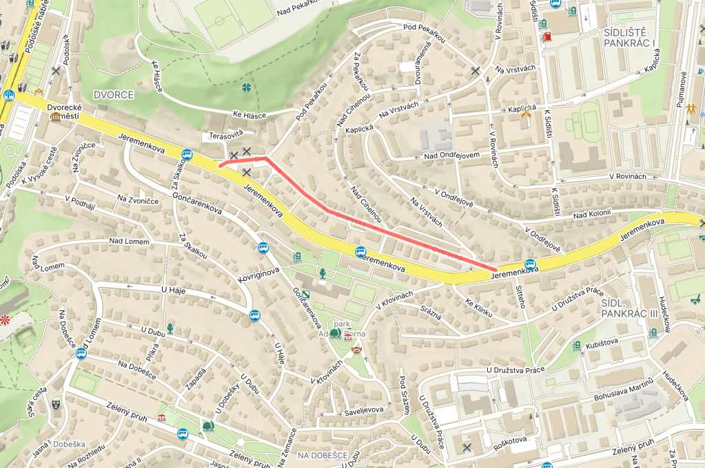
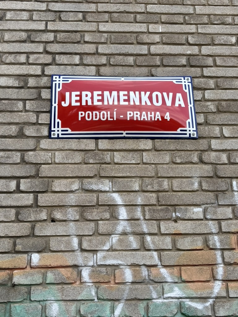
Jeremenkova has exited in its current form since 1952; before then, it consisted of two separate streets called Dvorecká (built 1906) and Pod vrstami (created 1938).
More on those in future posts, as there are still streets with those names.
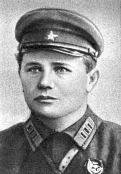
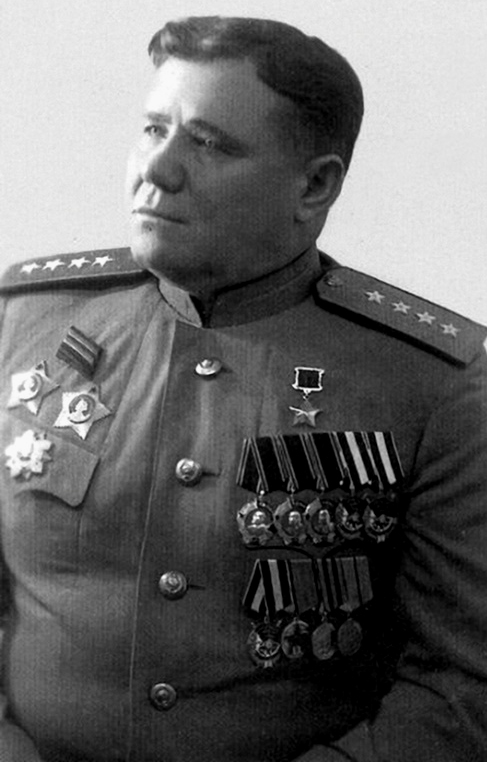
Andrei Ivanovich Yeremenko was born to a peasant family in Markivka, near Kharkiv, in 1892.
Joining the Russian Imperial Army in 1913, he spent WW1, until the Bolshevik Revolution, fighting in the Carpathians and Galicia.
Joining the Red Army in 1918, he fought in the Russian Civil War and the Polish-Soviet War.
When World War II started, he participated in the occupation of Eastern Poland in 1939, then, in 1940, took part in the occupation of Lithuania before being transferred to Eastern Siberia.
He was there when Operation Barbarossa started in June 1941; he was recalled to Moscow and made acting commander of the Soviet Western Front.
After a period of convalescence from an injury, he was assigned to lead the Stalingrad Front, later the Southern Front, in August 1942. In 1943, he participated in the Smolensk offensive, and, in 1944, commanded forces during the liberation of Crimea.
1944 would also see Yeremenko being sent to the Baltic, where his 2nd Baltic Front managed to capture Riga.
In March 1945, Yeremenko was assigned to command the 4th Ukrainian Front. After helping to capture the part of Hungary that was still occupied by Germany, Yeremenko’s men helped liberate many towns in Czechoslovakia, most famously Ostrava.
Believe me, I’d rather be reading about someone other than a Soviet general right now too, and would like there to be a few more streets named after locals who helped liberate Prague.
In 1547, they were confiscated by Emperor Ferdinand I and given to the Granovský family. They changed hands several times over the centuries, until serfdom was abolished in 1848; a couple of years later, Dvorce became part of Podolí (https://whatsinapraguestreetname.com/2025/07/11/prague-4-day-141-podolska/).
Until 1947 (with the inevitable break during the Nazi occupation), the street was called Riegrova, as in the early leader of the Czech nationalist movement, František Ladislav Rieger (1818-1903), who’s also given his name to that park in Vinohrady.
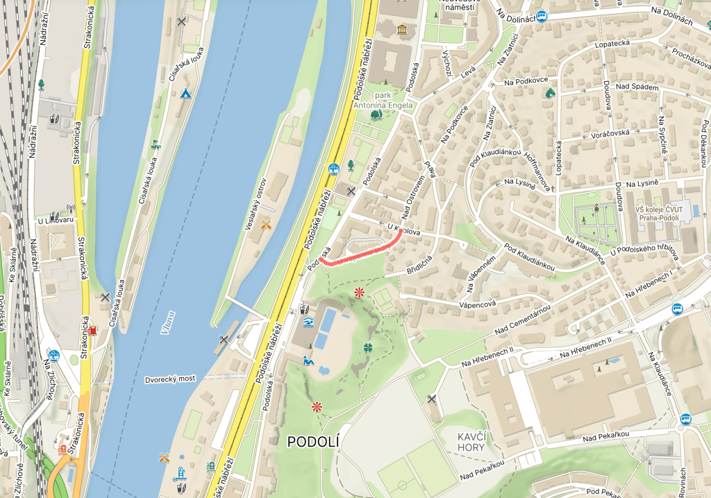
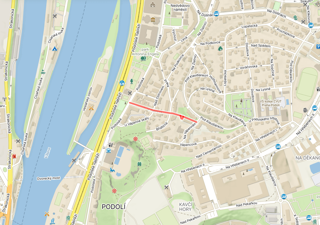
Kublov, meanwhile, was the name of a settlement round here, though not one there’s a tremendous amount of information online about, although this lovely piece suggests its last remnants were destroyed in the 1950s and it lacked sanitation: https://vysehradskej.cz/vzpominky-pametnice-podoli-a-vltava/.
Kublov is also the name of a local tram stop which I spent a *lot* of six-o’clock starts (or earlier) at in 2007. I remember being fascinated by the fact that, even at that time, it was hard to get a seat, yet most of the passengers were clearly no longer of working age.
(Now secretly hoping this series will lead me to discover that the world’s greatest nightclub for people aged sixty and above is located in Braník)