V kole was built in 1925.
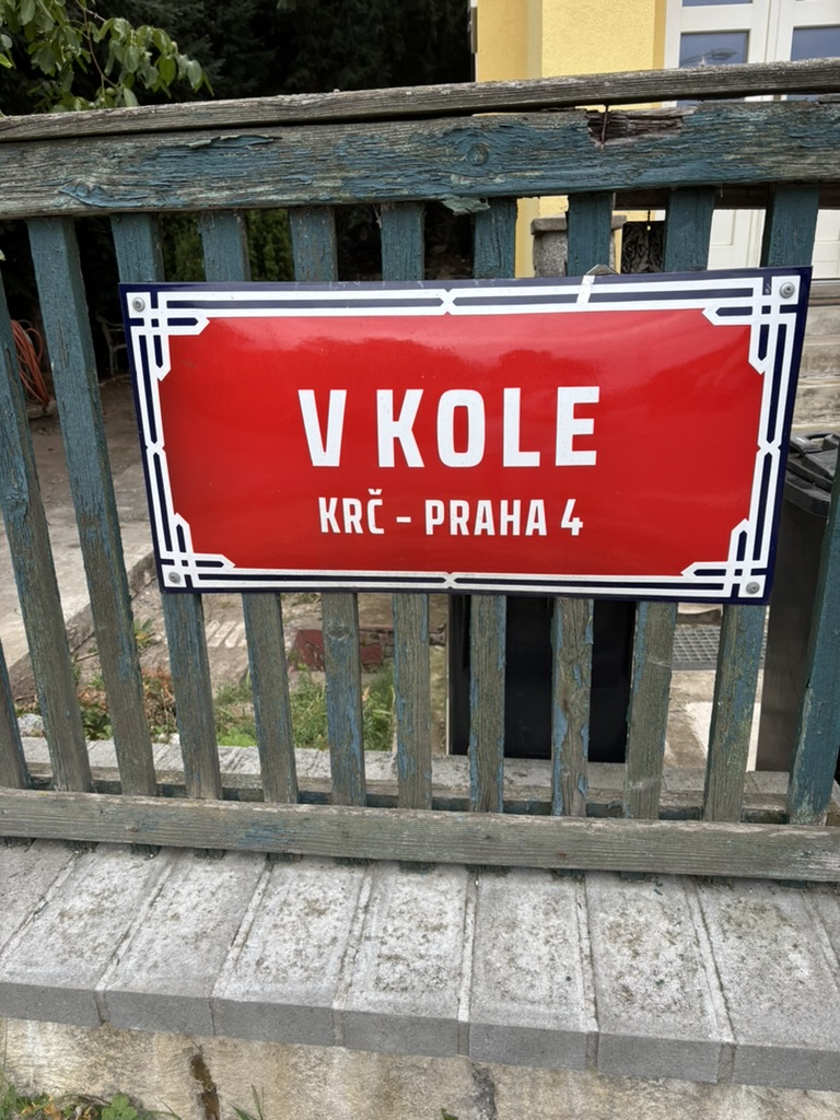
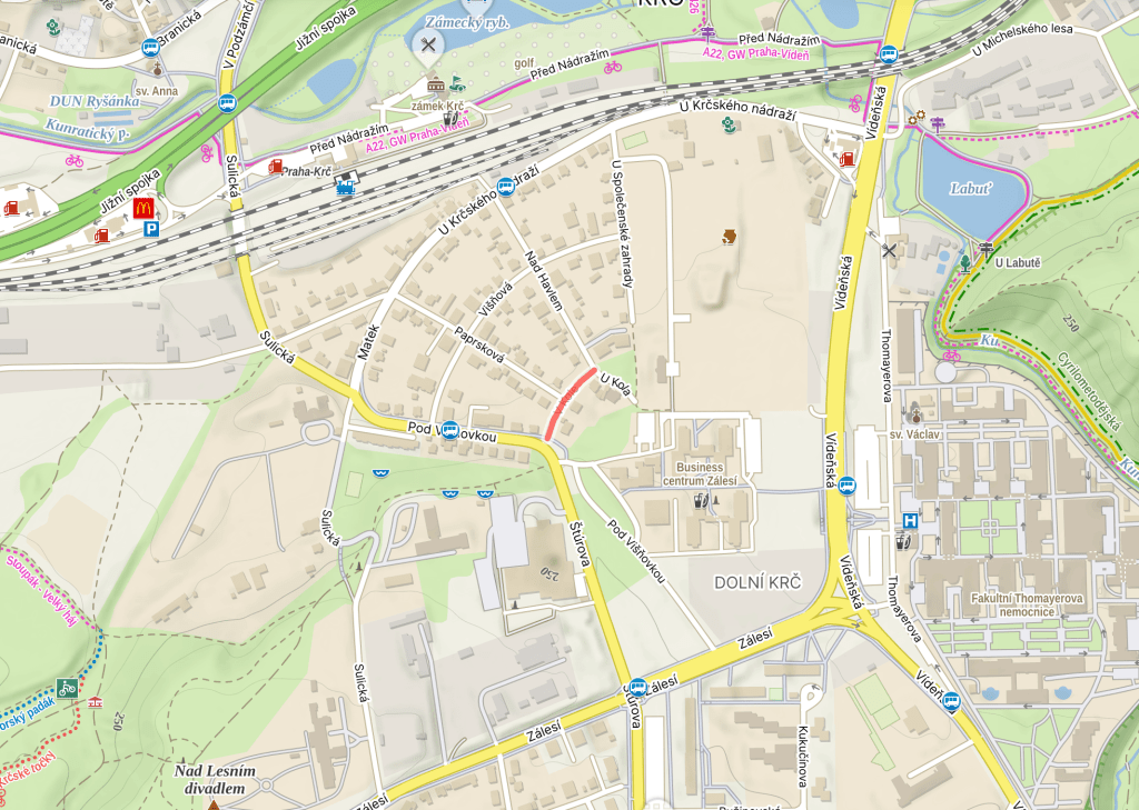
‘V kole’ translates as ‘In the wheel’, or ‘In the round’, so, for more info, please take a look at yesterday’s equally wheel-related https://whatsinapraguestreetname.com/2026/08/30/prague-4-day-430-paprskova/.
Every street in Prague, one by one.
V kole was built in 1925.
‘V kole’ translates as ‘In the wheel’, or ‘In the round’, so, for more info, please take a look at yesterday’s equally wheel-related https://whatsinapraguestreetname.com/2026/08/30/prague-4-day-430-paprskova/.
Paprsková was built in 1925.
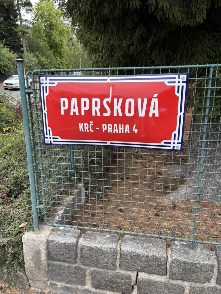
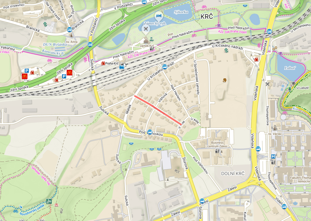
Take a look at the map above. The street looks a little bit like the spoke of a wheel, and the Czech for spoke (in this sense, not as in ‘past tense of speak’) is ‘paprsek’.
A ‘paprsek’ can also be a ray, beam or shaft (a ‘světelný paprsek’ is a ray of light, and I will now have Madonna in my head for the rest of the day). Then ‘rentgenové paprsky’ are X-rays, and a ‘laserový paprsek’ is a laser beam.
The wheel will come up again in the next few days.
Pálkařská was built in 2004.


Actually, let’s go back to 3 February 1981, when a bunch of players who had left a well-known softball and baseball club based in Prague 4, TJ Tempo Praha, decided to form a new one.
It was given the very does-what-it-says-on-the-tin name of TJ Sokol Praha 4 – Krč (https://whatsinapraguestreetname.com/2024/08/26/prague-2-day-114-sokolska/ is where to go if you want a primer on the Sokol movement).
Renamed as SK Krč Altron at some point, the club gradually started building a softball and baseball centre around here from 1994 onwards. Apparently, it’s one of the biggest of its kind in Europe (with two baseball and three softball fields).
In 2009, the club gained its current name, Eagles Prague. Here’s their current team: https://www.baseball.cz/competition/roster/1?team=6110&season=21 (they play in the Extraliga, which they’ve been runners-up a few times).
Oh, and the key part – a ‘pálkař’ is a batter or a batsman, and the ‘pálka’ is the bat (this is also the case if the game you’re playing is ping-pong).
Za obecním úřadem was built in 1920.
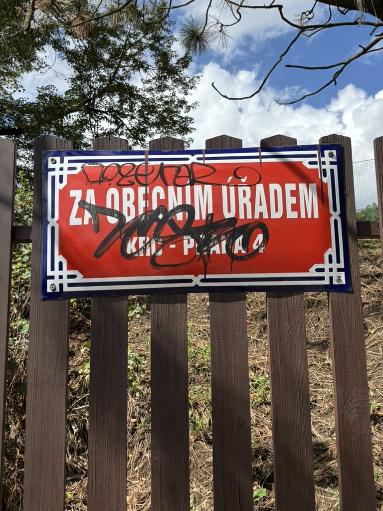
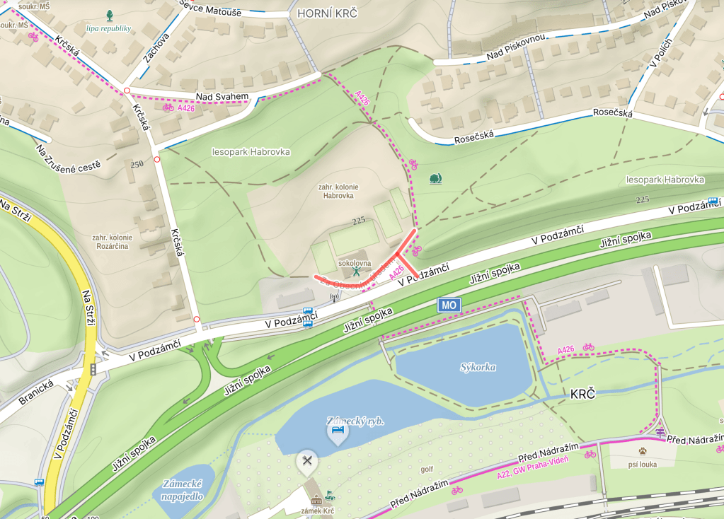
The street name translates as ‘Behind the municipal office’, and, in the early 20th century, Krč’s municipal office was located here (house number 109).
However, this was when Krč was a separate town, and not part of Prague. Nowadays, if you’re a Krčer, and you need some sort of municipal services, https://whatsinapraguestreetname.com/2026/05/07/prague-4-day-378-antala-staska/ is where you should head.
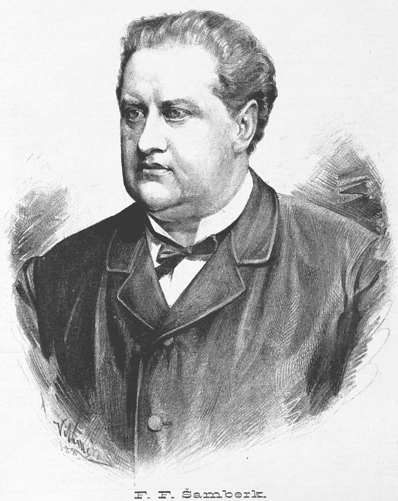
Until 1935, the street was called Šamberkova, after František Ferdinand Šamberk (1838-1904), an actor and playwright.
Višňová was built in 1925.


It’s quite nice and green around here (to me, at least), but apparently it used to be greener (as we learned on https://whatsinapraguestreetname.com/2026/08/20/prague-4-day-425-u-spolecenske-zahrady/).
And it may also have been redder, too – a ‘višeň’ is a sour (or morello) cherry, one of life’s great pleasures, and is also the name of the tree that they grow on. And there was once a cherry orchard round here.
A ‘třešeň’ is also a cherry, or a cherry tree, but not of the sour variant.
Nad Havlem was built in 1925.
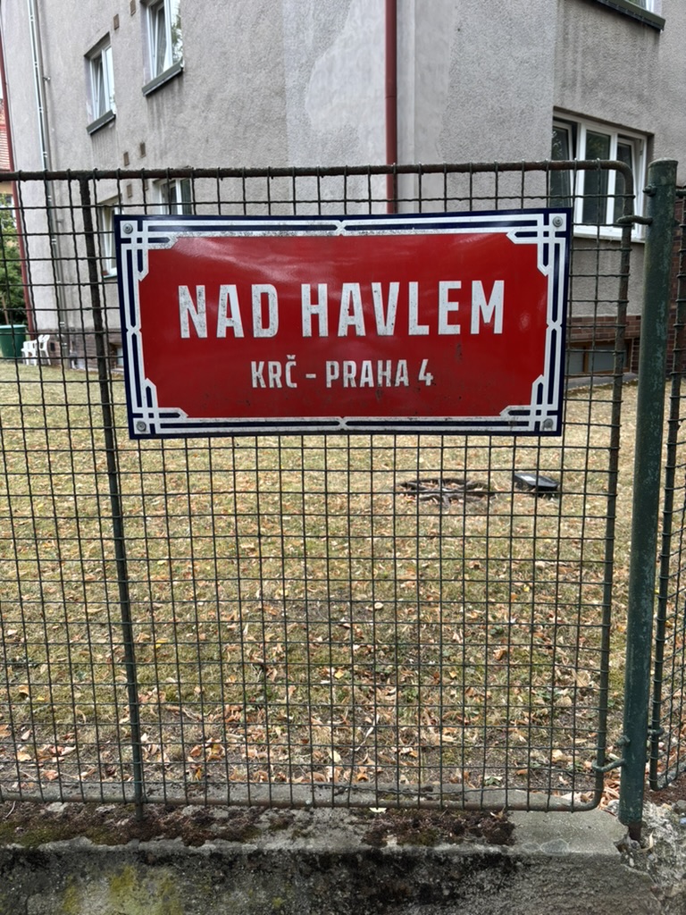
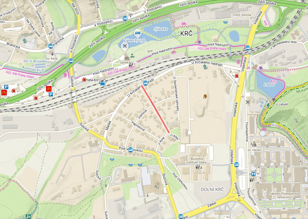
This one is nothing to do with Václav Havel, but if you want to read about him, you can: https://whatsinapraguestreetname.com/2024/09/14/prague-1-day-104-namesti-vaclava-havla/.
It is, however, to do with St Gall (he who gave his name St Gallen in Switzerland), who we discussed on https://whatsinapraguestreetname.com/2024/10/08/prague-1-day-175-havelska/.
As mentioned on https://whatsinapraguestreetname.com/2026/08/18/prague-4-day-423-v-podzamci/, the Carmelites of St Gall moved to Krč in 1627; their chateau included a chapel, which is what today’s street gets its name from.
Somehow, we’re going to end up talking about another chapel in Krč dedicated to St Gall before the week is out.
U Společenské zahrady was built in 1925.

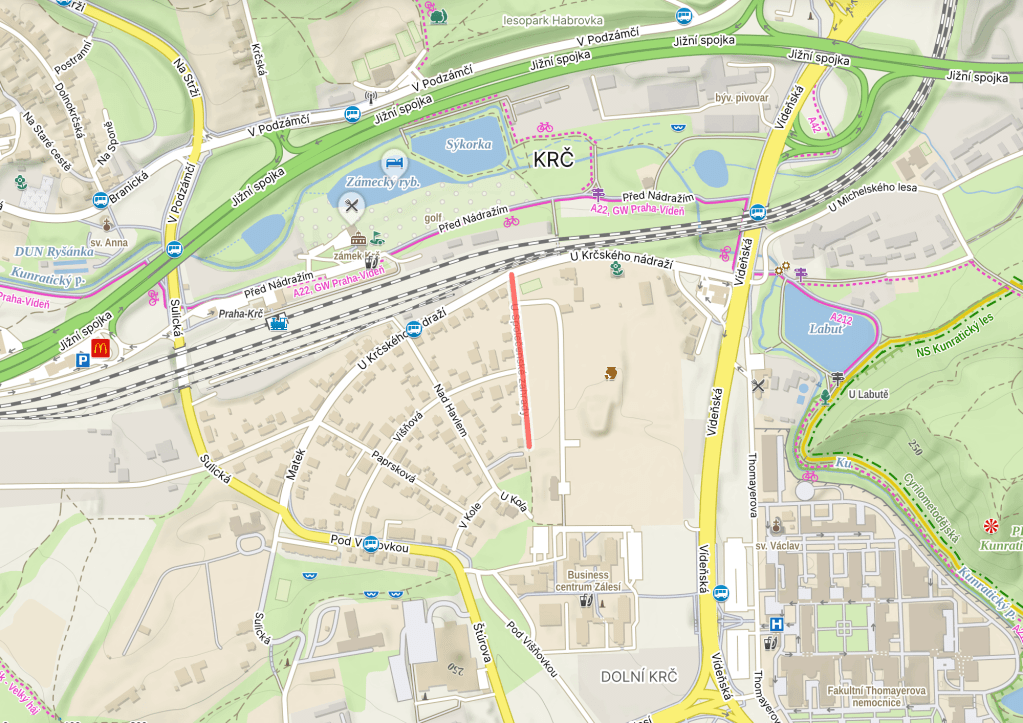
In either 1843 or 1845 (depending on your source), the Česká společnost pro zvelebování zahradnictví, or the Czech Society for the Improvement of Horticulture, was founded on Bredovského (now known as https://whatsinapraguestreetname.com/2024/09/18/prague-1-day-127-politickych-veznu-political-prisoners/).
In 1845, it moved south to Na Slupi (https://whatsinapraguestreetname.com/2024/08/21/prague-2-day-88-na-slupi/), where it housed exhibitions in its multiple greenhouses until 1894, when the Society sold the premises to make way for a Charles University campus.
They then set up a společenská zahrada – a society garden – here in Krč.
From 1923, the gardens hosted the Dívčí zahradnická škola (Girls’ Horticultural School), which had a two-year study programme. The Director was Dr. Anna Berkovcová, one of Czechoslovakia’s first female university students.
Despite its name, the school also taught foreign languages, economics, hygiene, and much else.
It’s not instantly clear when the school and garden closed; we do know that the school was renamed as Vazačsko – aranžérská škola (something like ‘The School of Binding and Arranging’) in 1969, and there’s a Facebook group (sadly only with two members) for those who attended from 1970 to 1972.
I’ve also seen a comment on one page from somebody who said they graduated in 1975 and remembered the place fondly.
In 2001, archaeologists discovered 1,400 buried objects, including two prehistoric rondels (circular ditch structures) on the premises: https://www.kudyznudy.cz/aktivity/krcsky-rondel.
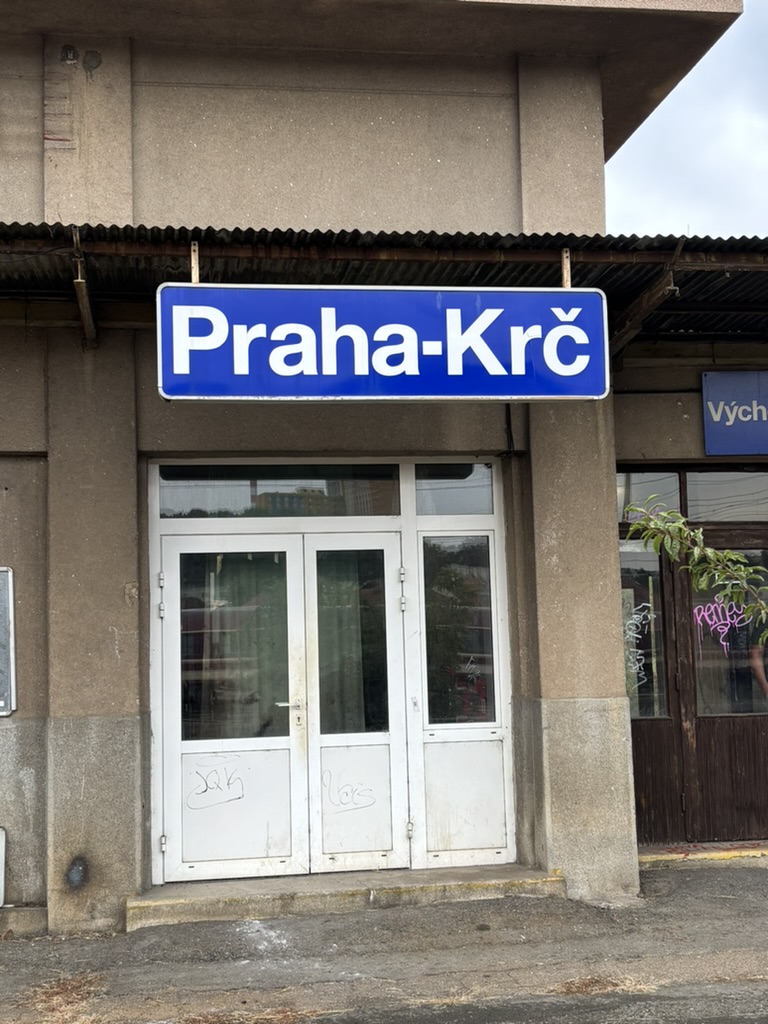
U krčského nádraží was built in 1925.


We spoke briefly about the present and future of Praha-Krč Station (nádraží) on https://whatsinapraguestreetname.com/2026/08/15/prague-4-day-420-pred-nadrazim/. Now it’s time to talk about its past.
Back in 1882, Modřany (south of Krč, in Prague 12; discussed on https://whatsinapraguestreetname.com/2025/09/29/prague-4-day-185-modranska/) was known for its sugar factory.
Which made a train connection to Prague – or, at least, to Nusle, which wasn’t yet within the city limits (https://whatsinapraguestreetname.com/2025/02/24/prague-4-day-44-k-podjezdu/) – a sensible idea.
As Krč was on the route, a station was opened here too, also in 1882.

However, the station was located elsewhere at this point, roughly where there is now an underpass. This will explain why it’s easy to access the train from Před nádražím, but less obvious (or near) from this street, which is said to be literally by it.
Here are some staff standing in front of the original station at some point before World War One.

In 1964, the station was knocked down as part of the completion of the Prague railway junction (mentioned, or part of it, on https://whatsinapraguestreetname.com/2026/01/23/prague-4-day-288-branicky-most/).
A new station opened in the same year, located centrally in Dolní Krč (https://whatsinapraguestreetname.com/2026/07/18/prague-4-day-406-dolnokrcska/). However, the construction of what is now the country’s busiest road (https://whatsinapraguestreetname.com/2026/08/17/prague-4-day-422-jizni-spojka/) made the station suddenly feel somewhat peripheral.
Here are some pics of how it looks now (complete with not terribly varied list of departures), which probably isn’t how it will look for much longer.




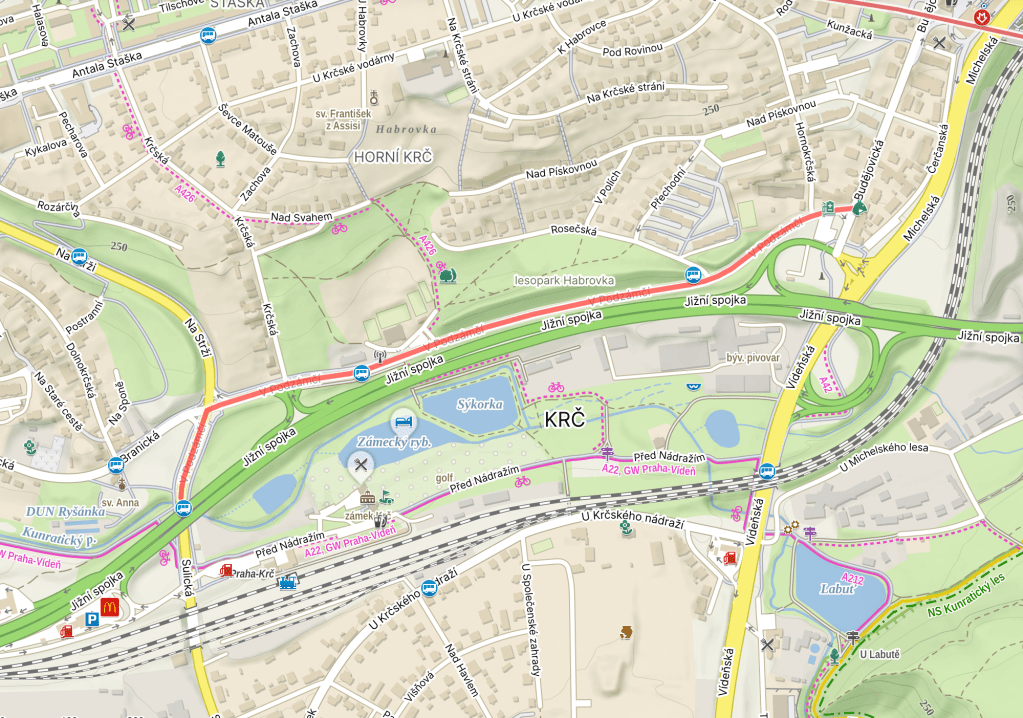
V podzámčí was built in 1935.

In 1222, the fortress and village of Lower Krč (Dolní Krč; https://whatsinapraguestreetname.com/2026/07/18/prague-4-day-406-dolnokrcska/) were mentioned in writing as belonging to the Vyšehrad Chapter (https://whatsinapraguestreetname.com/2024/08/26/prague-2-day-118-vysehradska/).
In 1420, the fortress was captured by the Hussites under one Jan Žižka (https://whatsinapraguestreetname.com/2023/02/26/prague-3-day-150-zizkovo-namesti/ and many other Prague 3 posts).
It passed through various owners, many of whom didn’t seem to give two hoots about it, so much so that a text from around 1620 describes it as ‘desolate’.
In 1627, Old Town burgher Jan Lukšan z Luftenštejna sold it to the Discalced Carmelites of St. Havel (https://whatsinapraguestreetname.com/2024/09/08/prague-1-day-39-karmelitska/ and https://whatsinapraguestreetname.com/2024/10/08/prague-1-day-175-havelska/).
They used it as their summer residence, but, in 1786, Joseph II abolished the monastery, and passed through various owners.
It wasn’t until the 1860s that one owner – Karl Baron Schlosser – turned the building into how we know it today, with neo-Gothic façades, battlements, and a British-inspired park (painting from 1865 by Eduard Herold).
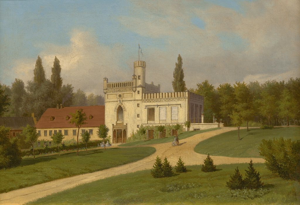
From 1900 to 1948, it was owned by the Welz family, before becoming the home of the state-owned Agroprojekt company until 1989. Returned to the Welzes, it underwent significant reconstruction in 2003, and has served, since then, as the four-star Hotel Château St. Havel (https://chateauhotel.cz/ is less heavy on the construction work than my photo below is).
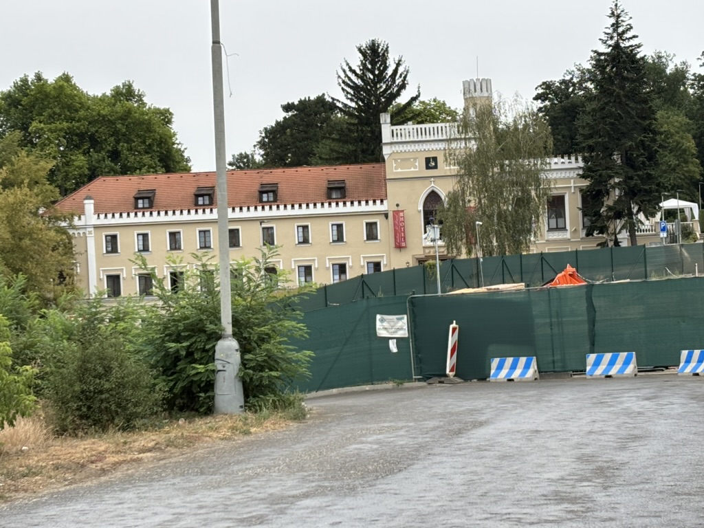
And, because I didn’t explicitly say so: a ‘podzámčí’ is under (‘pod’) a château (‘zámek’), i.e. it’s the area located in the immediate vicinity of a castle.
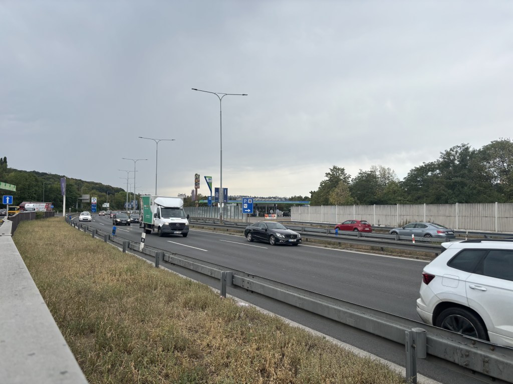
Jižní spojka was built in the 1980s, and given a name in 1992. Re: the lack of street sign, walking along the motorway until I found one didn’t quite appeal yesterday, and may not be all that legal.
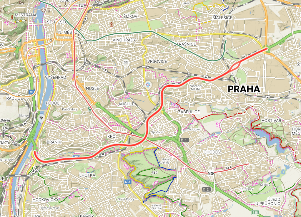
‘Jižní spojka’ translates as ‘The Southern Link’ (as you can see from the map above, it links a good few places).
The idea for a major road round here didn’t come from people you would want it to – in 1939, the Nazis had it in mind as part of a long route connecting Nuremberg and Wrocław (at the time, Bohemia was part of the Nazi’s Protectorate in the Czech Lands, and Wrocław was still part of Germany).
However, the costs of the war meant that construction never started.
Construction of the highway as we know and, well, know it began in the early 1980s. The first section, between Barrandov Bridge (https://whatsinapraguestreetname.com/2026/01/22/prague-4-day-287-barrandovsky-most/) and Chodov.
In the late 1980s, the section from Spořilov to Zahradní Město followed. Construction was completed at the end of 1997.
Jižní spojka has up to six lanes (I assume this varies in places, but, again, not a walk I was going to do), and has about 120,000 vehicles a day, making it the busiest road in the country.
It won’t surprise you to find out that internet searches for Jižní spojka will only really float your boat if you are into car accidents, people complaining about traffic, or both.
Nad svahem was built in the early 1980s.


A ‘svah’ is a slope or a hillside, and this street is located above one.
Somehow, this is our fourth svah-based street in Prague 4 (and counting): we started with https://whatsinapraguestreetname.com/2025/03/21/prague-4-day-53-svazna/ in Nusle.
And then we were on a slope in Podolí, (https://whatsinapraguestreetname.com/2025/07/01/prague-4-day-133-ve-svahu/) and then under one in Braník (https://whatsinapraguestreetname.com/2025/11/21/prague-4-day-236-pod-svahem/).
Před nádražím was built in 1977.
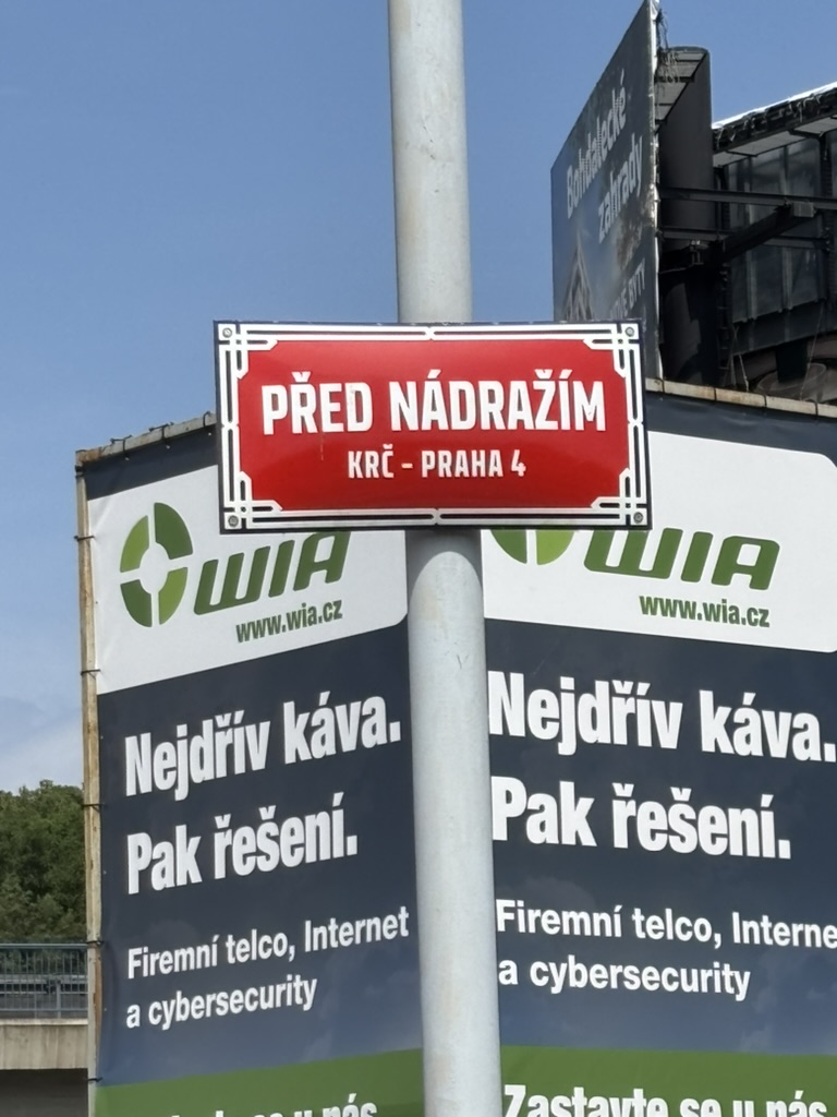
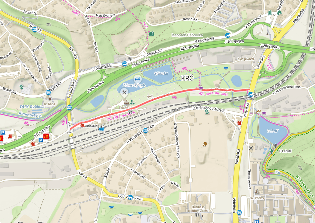
Yes, Krč has a train station. If you haven’t been through the station, that’s not too much of a surprise – only one route, the one to/from Dobříš, runs though it.
I’ll tell the story of the station later, as: a) there’s another street named after it; b) I’ve got to head to Krč for the first time in several weeks tomorrow and get some photos of streetssigns and landmarks. So, for now, let’s talk about the station’s future.
After long discussions and ‘one of the most complex property agreements in the city’s history’, a settlement was reached with local landowners in June. One of the stations on the upcoming D line of the Prague Metro is going to be at Nádraží Krč.
It seems the agreement was (just one of the things) holding up construction of the second part of the D line, which was apparently meant to start in autumn 2023. There will be a whole new building here to account for the new dual function as a metro and train station.
However, current estimates suggest you’ll be lucky to board the metro here before 2032: https://www.idnes.cz/praha/zpravy/vlastnici-pozemek-dohoda-nadrazi-krc-stanice-okoli-zastupitele-schvaleni-linka-metra-d.A260619_064432_praha-zpravy_fohl.
Part of the reason I keep taking long breaks between Krč trips is because journeys there usually need two changes (and much uphill walking in high temperatures). Selfishly, I would quite like it if that metro had opened already.
Mezi sklady was built in 1988.
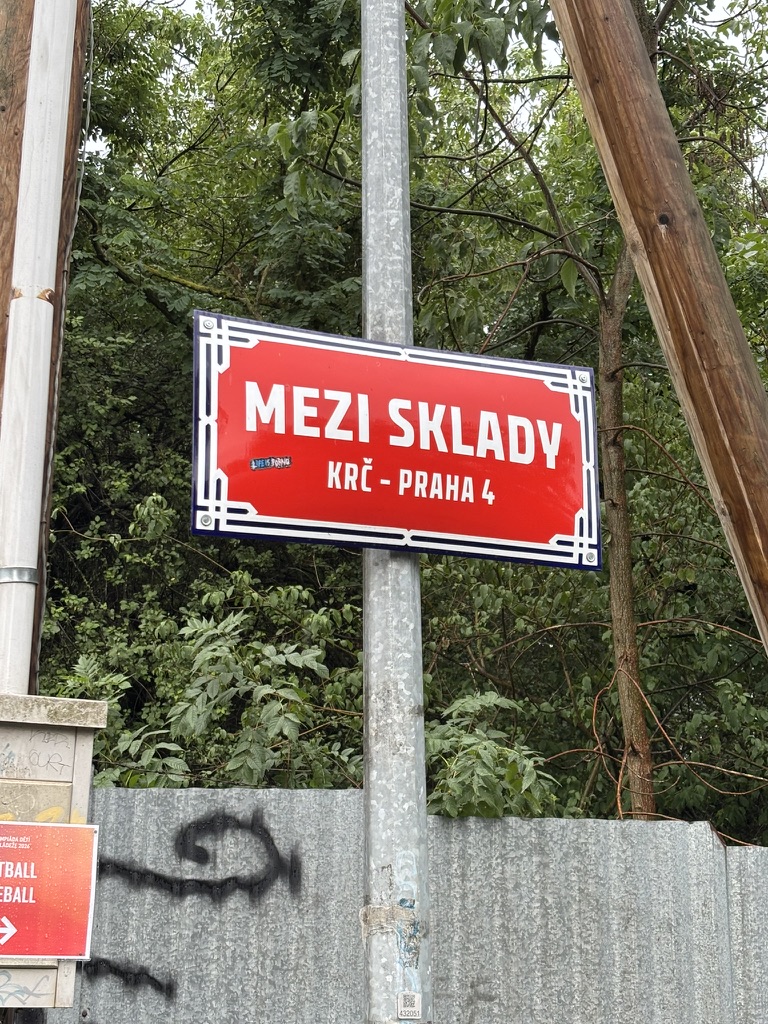
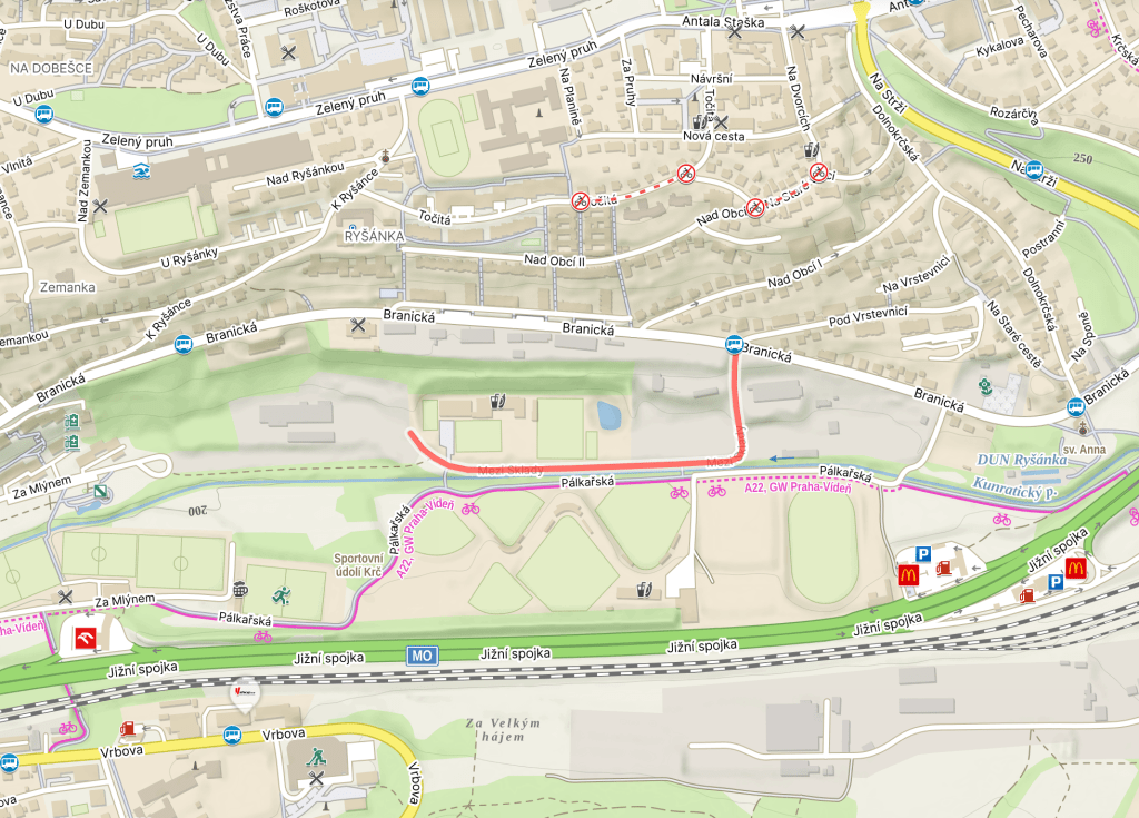
A ‘sklad’ is a warehouse, a storehouse, a storeroom, etc. Also, if you have something ‘v skladě’, you’ve got it in stock.
And the street is indeed located between/among warehouses. One of which suffered significant fire damage two summers ago: https://prazsky.denik.cz/krimi/praha-pozar-hasici-mezi-sklady-ohen/.
Rosečská was built in the late 1970s or early 1980s. Not very specific, I know.
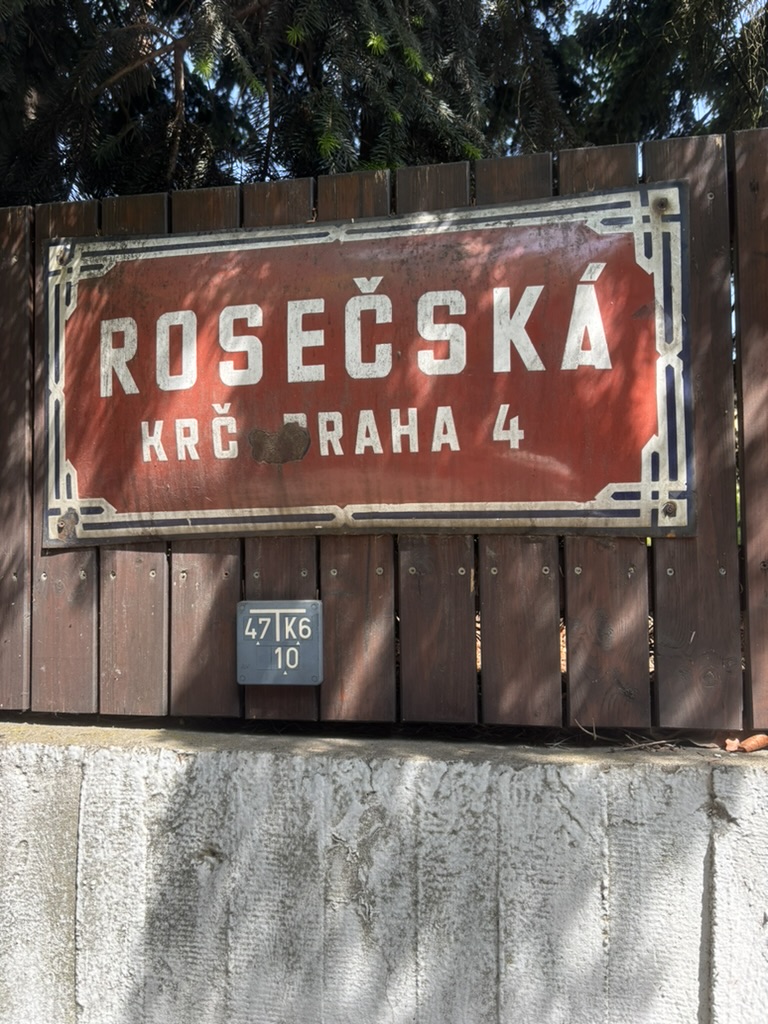
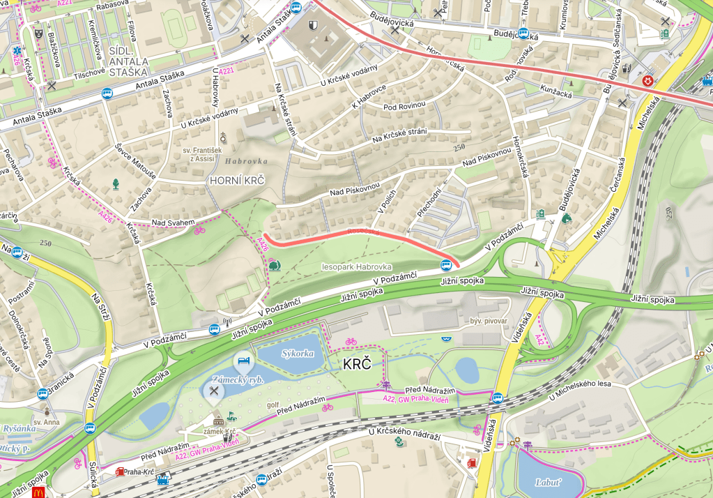
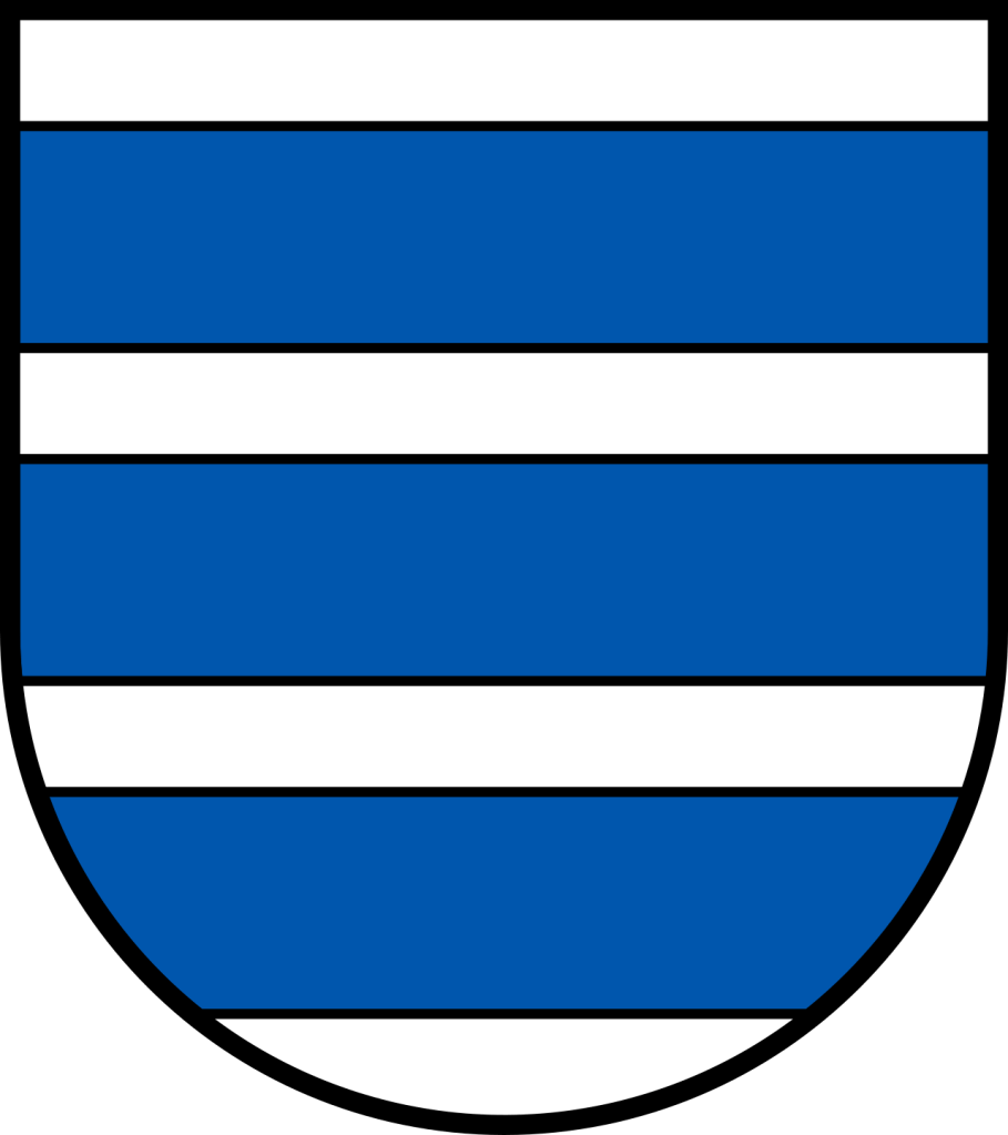
Roseč (population 225) is a village in South Bohemia, eleven kilometres east of Jindřichův Hradec. The earliest written mention dates from 1367, by which time it probably already had a church, the Church of Saints Simon and Jude.
The Church was destroyed in the Hussite Wars, and a replacement was built in 1551. This, in turn, was burned down in 1743; it underwent a Baroque reconstruction from 1791 to 1794.
In 1976, Roseč, along with nearby Ratiboř, was incorporated into the municipality of Hatín, but became an independent municipality again in 1990.
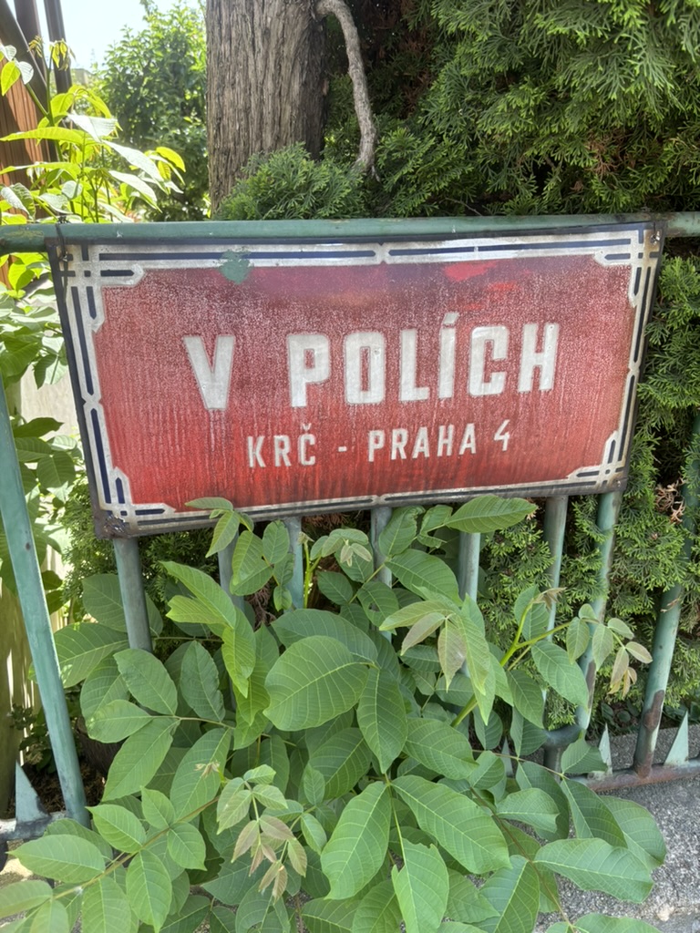
V polích was built in 1968.
Back from what I hope is my final trip this summer (they’ve all been marvellous, but a lot at once).
Anyway, a ‘pole’ is a field, and the street is located ‘in fields’ (or, more accurately, on top of where they once were).
Rozárčina was built in 1947.
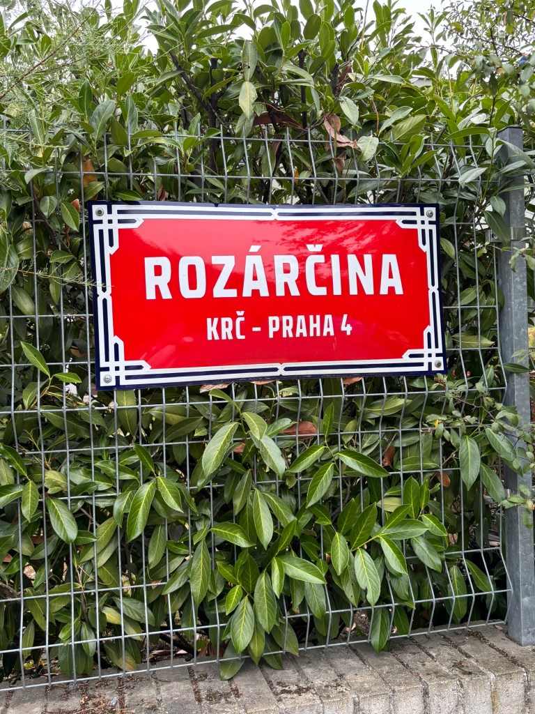
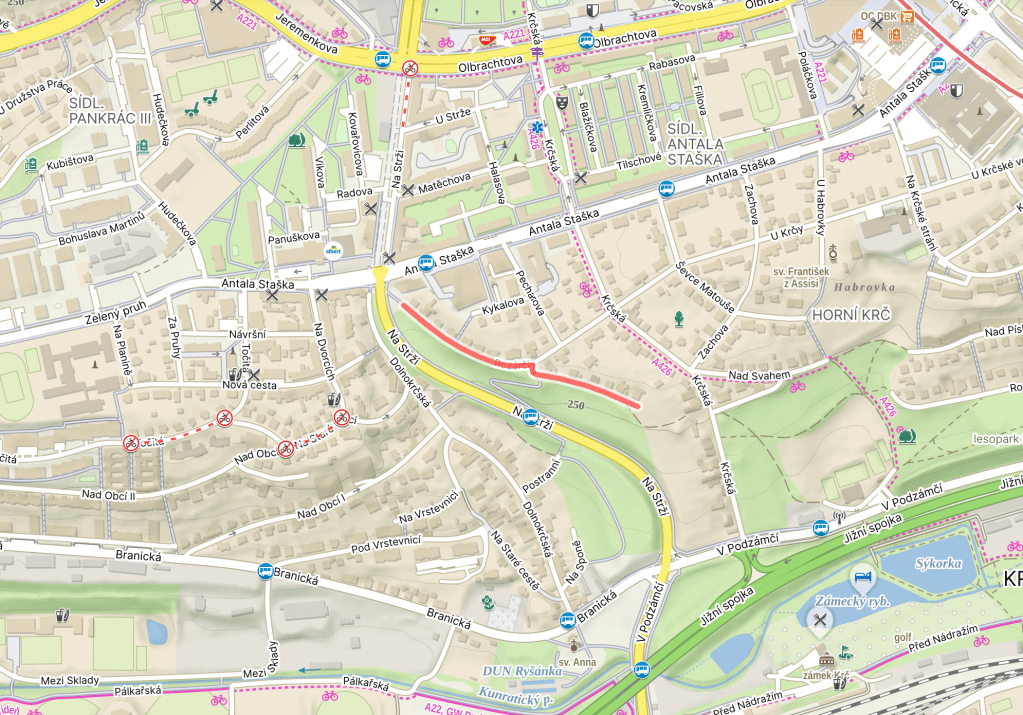
Until 1952, it was called U krčské vodárny V, on which see https://whatsinapraguestreetname.com/2026/05/24/prague-4-day-386-u-krcske-vodarny/.
For it’s current name, we’re still on Antal Stašek’s O ševci Matoušovi a jeho přátelích (https://whatsinapraguestreetname.com/2026/05/13/prague-4-day-381-sevce-matouse/). Rozárka is Růza Kyklová, the local girl whom the lead character, Matouš, falls in love with.
She is also the daughter of Jakub Kykal, a character whom yesterday’s street is named after (https://whatsinapraguestreetname.com/2026/08/03/prague-4-day-415-kykalova/).
Kykalova was built in 1973.
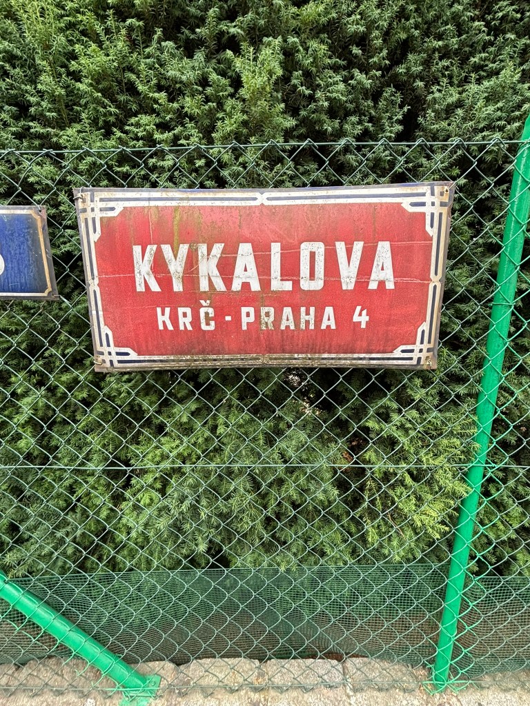
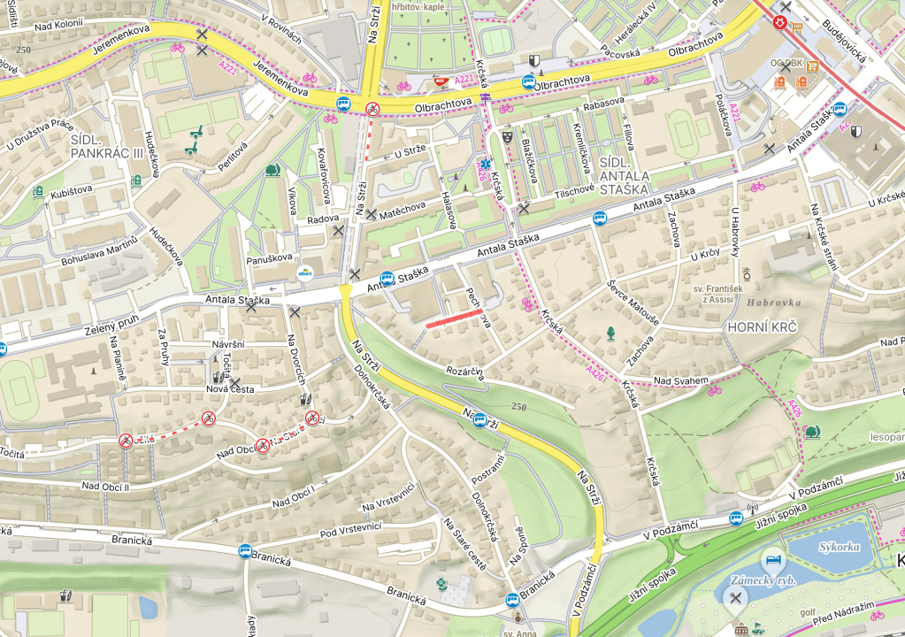
Remember how we talked about the novelist Antal Stašek (https://whatsinapraguestreetname.com/2026/05/07/prague-4-day-378-antala-staska/)?
Or about his novel, O ševci Matoušovi a jeho přátelích (About the Shoemaker Matouš and His Friends; https://whatsinapraguestreetname.com/2026/05/13/prague-4-day-381-sevce-matouse/)?
Well, Jakub Kykal is a cottager in that novel – and the lead character, Matouš, falls in love with Kykal’s daughter Růza, although they will not get married. The full-ish plot is in the in previous link.
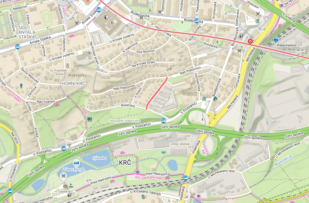
Přechodní was named in 1938.
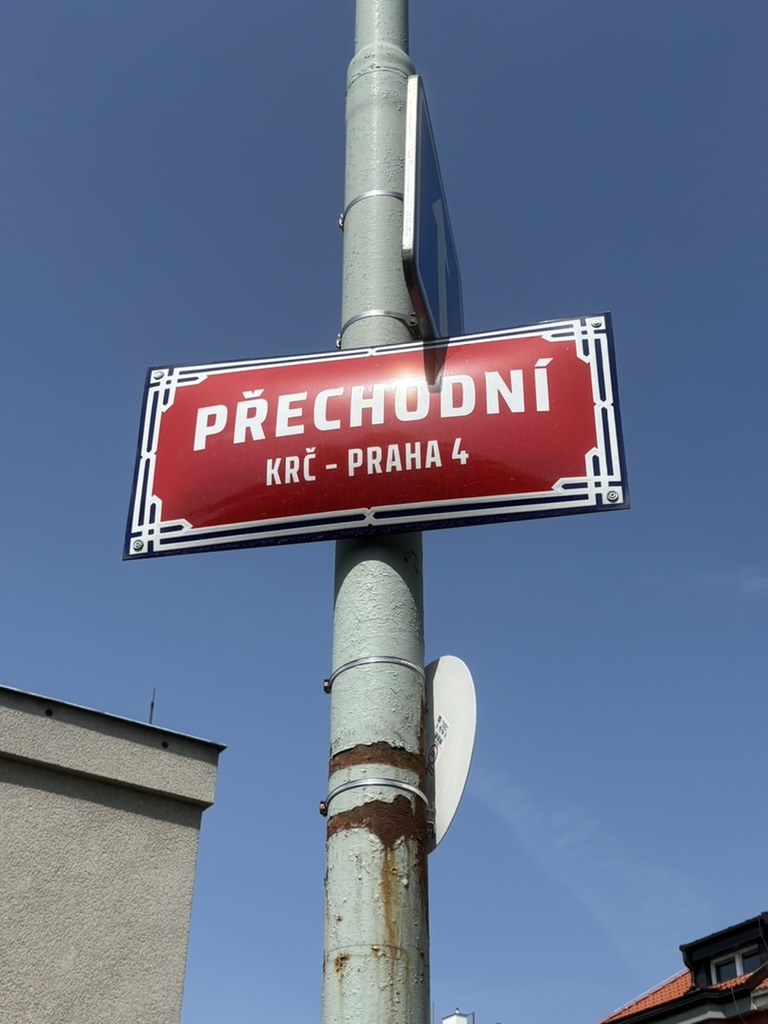
A ‘přechod’ is a crossing, as in ‘hraniční přechod’ (border crossing) or ‘přechod pro chodce’ (pedestrian crossing).
It can also be translated as ‘transition’ or ‘changeover’.
Some readers will be most familiar with the concept of having to apply for ‘přechodný pobyt’ – temporary residence – in ČR.
While some will be asking: ‘if the masculine is ‘přechodný’, why is the feminine not ‘přechodná’?’ It turns out that ‘přechodní’ is an alternative form, and also an older one (I’ve been using it for years, and am now in ‘someone could have told me’ mode).
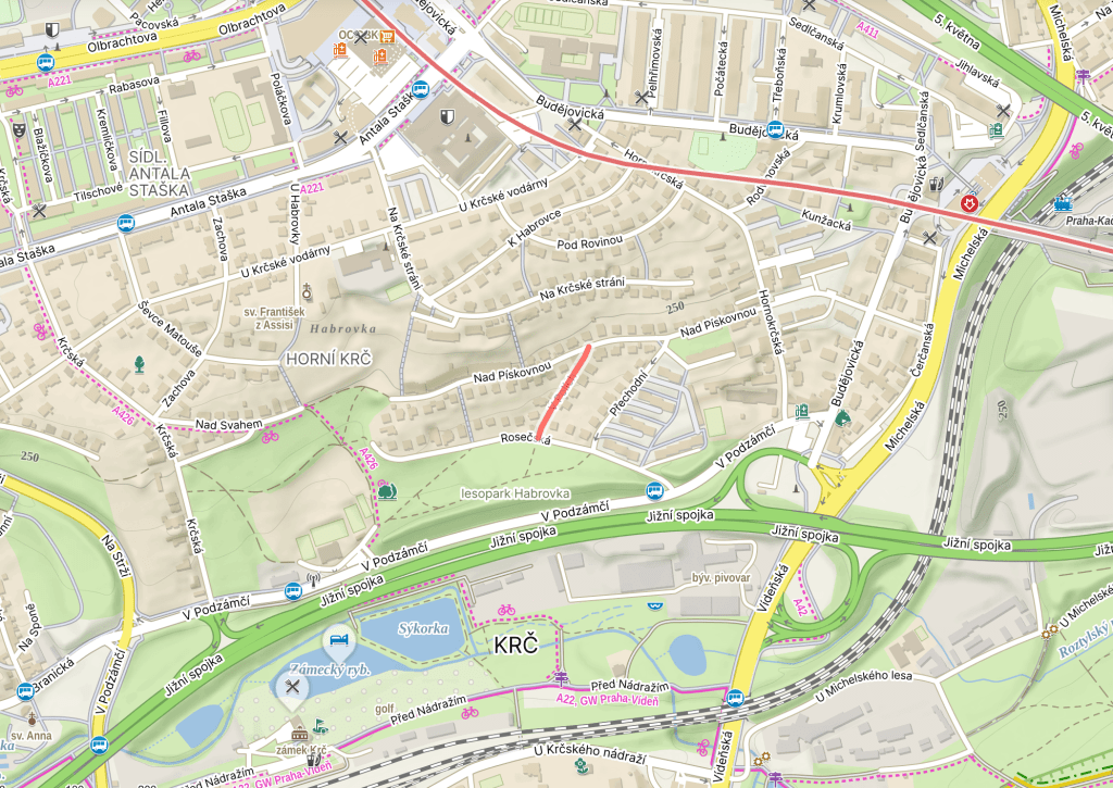
When the street was named, it was meant to form part of a crossing over to Hornokrčská (https://whatsinapraguestreetname.com/2026/05/30/prague-4-day-390-hornokrcska/). As you can see from the map, this street never quite got round to fulfilling its purpose.
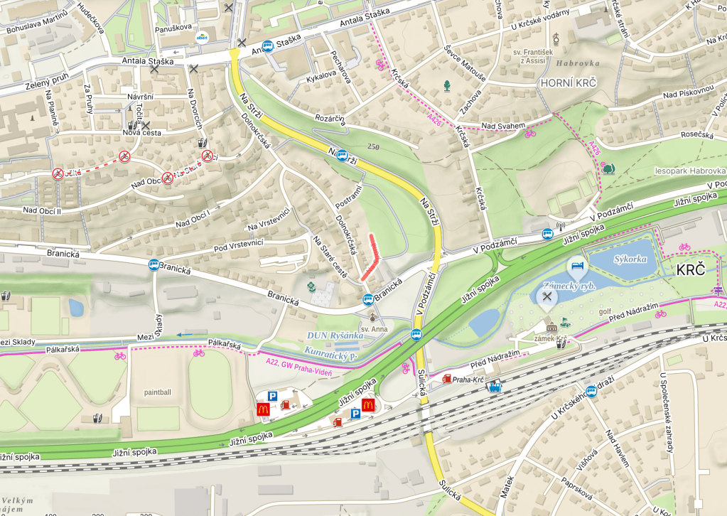
Na sponě was built in or before 1941.
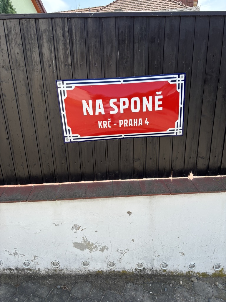
‘Spona’ can be translated as clip, fastener, buckle, and so on. It derives from the verb ‘spínat/sepnout’, which translates as ‘to fasten’ or ‘to clip (together)’. So, a ‘tie clip’ would be a ‘spona do kravaty’.
In grammar, a ‘spona’ would be a ‘copula’, i.e. a word linking the subject of the sentence with a predicate. It’s usually a very (for example: in the sentence ‘Krč seems endless’, ‘seems’ is the copula.
A ‘spona’ can also be a ‘fibula’ in the sense of a brooch that was used to hold clothing together (in other words, a safety pin before safety pins were a thing). Whatever the meaning, ‘spona’ is clearly linked to the German ‘Spange’.
And, for reasons which we can only guess at (educated guesses, mind you), the area around here was apparently once known as Spona.
Postranní was built in 1941.
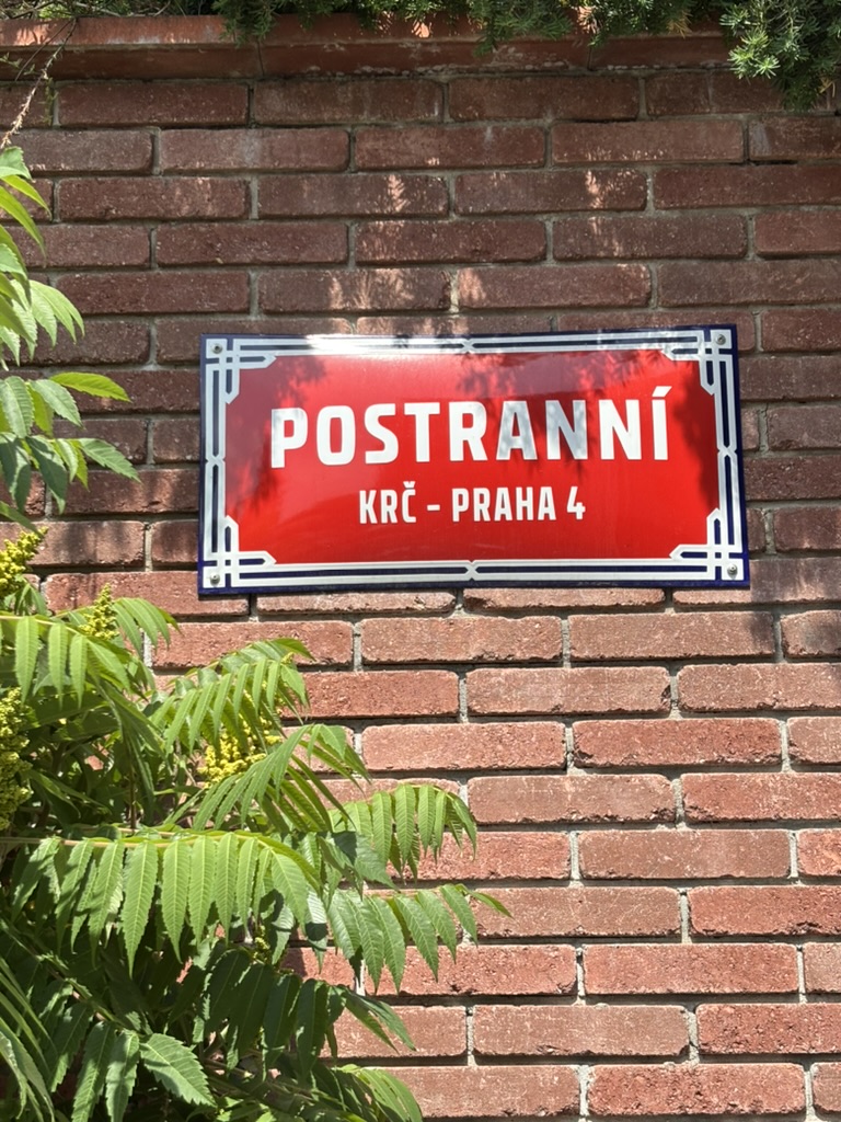
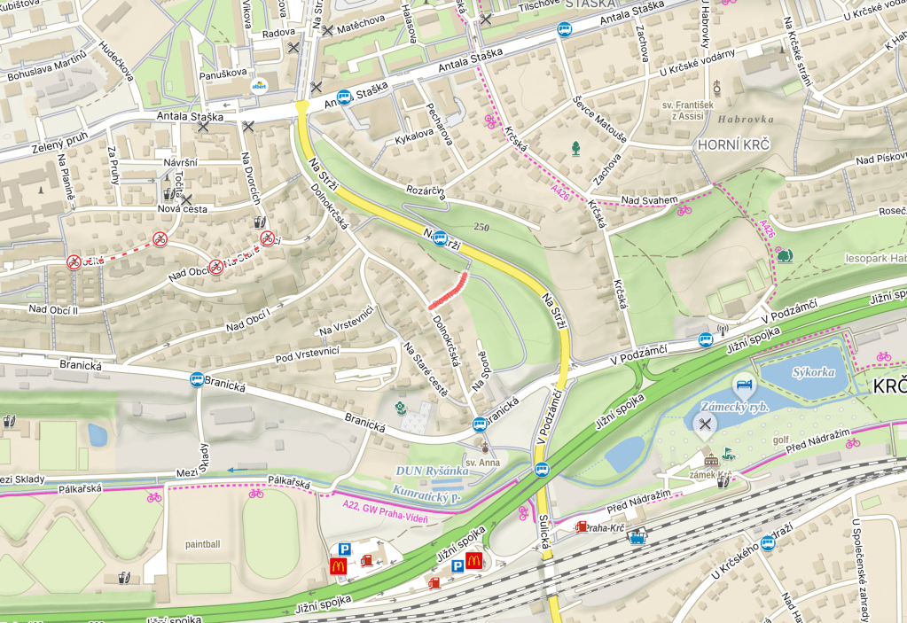
Until 1947, it was called Na odbočce, due to its location (it turns off from Dolnokrčská (https://whatsinapraguestreetname.com/2026/07/18/prague-4-day-406-dolnokrcska/); an ‘odbočka’ is a diversion, a turn, a digression, and so on.
Meanwhile, ‘postranní’ is an adjective meaning ‘side’ (as in ‘postranní ulička’ – a ‘side street’). You sort of wonder why they bothered (now expecting someone to tell me that ‘odbočka’ is a fundamental word used to describe capitalism in the Czech translation of The Communist Manifesto or something).

