What's in a Prague street name

Every street in Prague, one by one.

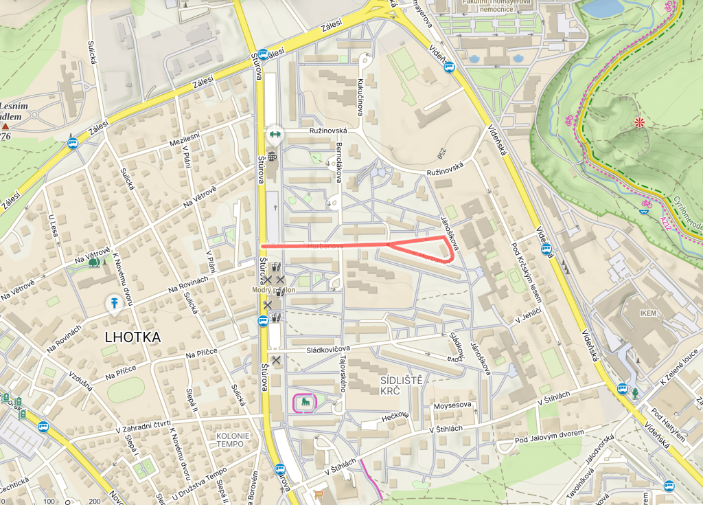
  • Hurbanova was built in 1969.
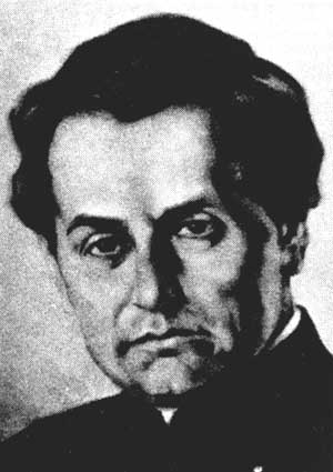
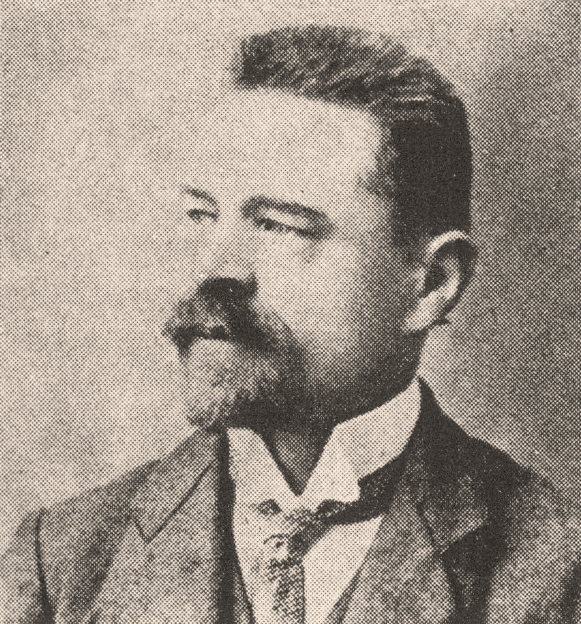
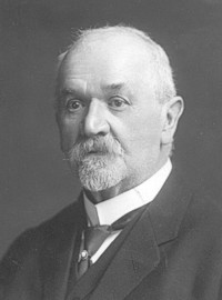
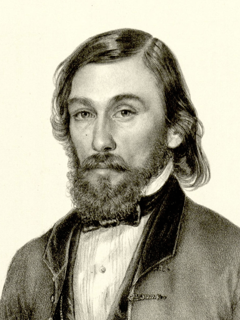
    Jozef Ľudovít Hurban was born in Beckov, now in the Trenčín region of Slovakia, in 1817, the son of a Lutheran priest (photo taken from Wikimedia Commons, credit to Peter Zelizňák).
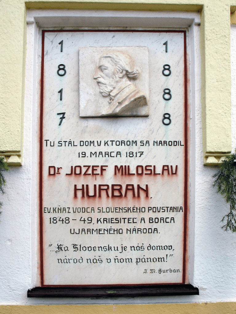
    Initially home-schooled, he attended school in Trenčín, followed by the Lutheran Lyceum in Bratislava, where he spent ten years (1830-40) and got to know one Ľudovít Štúr (https://whatsinapraguestreetname.com/2026/03/05/prague-4-day-325-sturova/), who awakened his love of the Slovak nation.

    In 1836, he attended a gathering of Štúr’s followers at Devín, and added the decidedly Slavic ‘Miloslav’ to his name. A year later, he joined Vzájomnosť (‘Reciprocity’), a secret society.
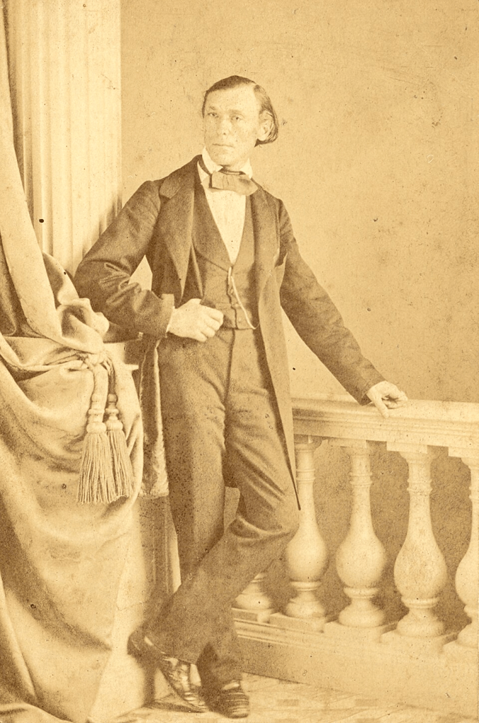
    Hurban was ordained as a priest in 1840, and, despite wanting to continue his studies in Germany, had to work instead, first as a chaplain in Brezová pod Bradlom, then (from 1843) as a pastor in Hlboké. The region (Podjavorina) became a hotbed of Slovak activity against Hungarian dominance.

    Hurban spread national consciousness among the local population by organising reading groups, Sunday schools, theatre performances and temperance societies.
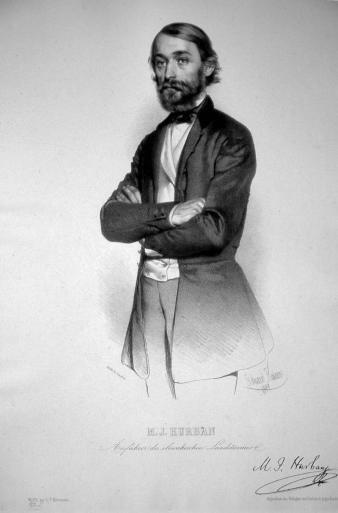
    It was at his parsonage in Hlboké, in 1843, that he, Štúr and Michal Miloslav Hodža (not covered by me yet, but a sure-fire candidate for day 1 of What’s In a Bratislava Street Name) decided that standard Slovak should be based on the Central Slovak dialect.

    There was a further important meeting at his parsonage on 18 March 1848. The participants decided that it was time to draft a Slovak revolutionary programme.

    On 28 April, this was presented at a rally at Brezová pod Bradlom; the programme became known as the Nitrianske žiadosti (Nitra Demands). In the following month, a more ‘national’ version, Žiadosti slovenského národa (Demands of the Slovak Nation) was presented.

    Authorities in Buda took a very dim view of all this activity, and issued an arrest warrant for Hurban (who would, later in 1848, become a member of the newly-founded Slovak National Council).

    After participating in the failed Prague Uprising (and the failed Slavic Conference), he and Štúr moved again, first supporting the Slovak national movement from Croatia, then from Serbia.
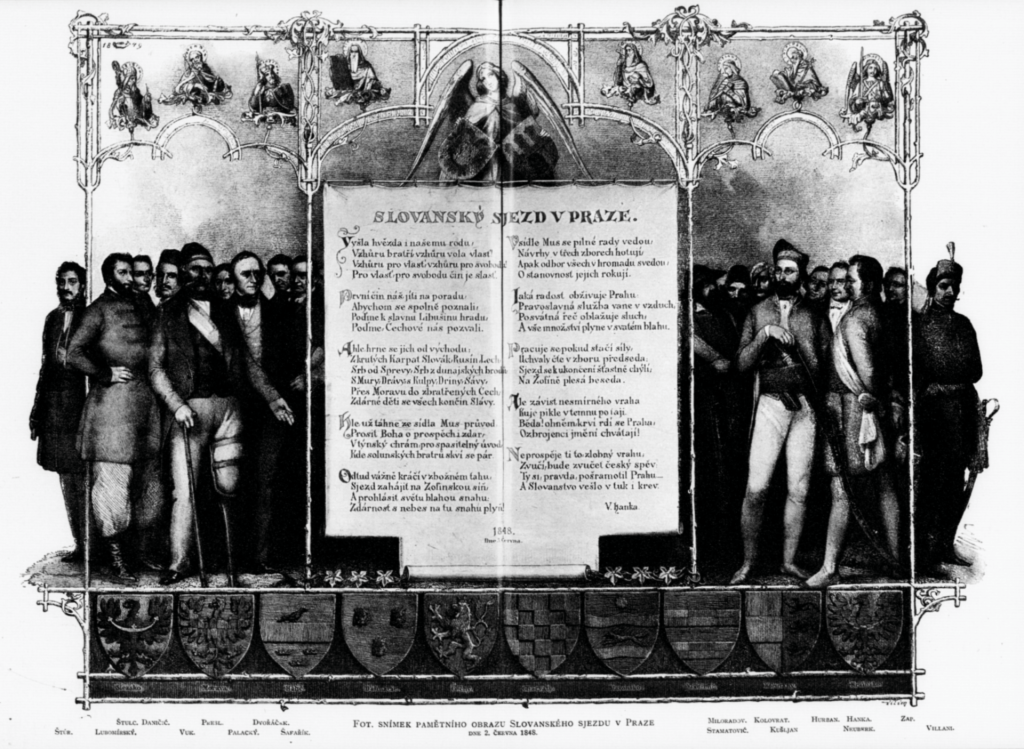
    Following the counterrevolution in Austria, Hurban was placed under police surveillance and was banned from political activity or publishing. His situation improved somewhat in the early 1850s, when Bach’s absolutism collapsed.

    In 1861, he contributed to the Memorandum of the Slovak Nation, which demanded a constitutional-legal resolution to the Slovak question, and even went to the Ministry of the Interior in Vienna to hand it in. Vienna reacted about as positively to this as you might expect, and Hurban turned to more church-oriented matters.

    From 1866, he served as superintendent of the Slovak Evangelical “Patent” churches.

    When he turned back to politics, it didn’t go that well for him – his articles criticising the Hungarian Nationalities Law of 1868 got him six months in prison, and a further article in 1875 got him another three.

    In 1875, Matica slovenská, the first Slovak cultural organisation (which Hurban had been involved in the founding of in 1863) was forced to close. Hurban’s articles about this aimed to demonstrate the long-standing tradition of Czechoslovak literary unity.

    However, they were also written in Czech – which Slovak patriots, even those who were Hurban’s biggest fans, found to be a major step back. Hurban stuck to writing a biography of Štúr, and an account of the events of 1848. He died in 1888.
    A monument to him, financed by public donations, was opened in 1892; the authorities banned anyone from accessing it – including his immediate family.

    In 1948, a small town called Stará Ďala was renamed Hurbanovo in his honour.

    These Slovak-based street posts seem to be very long, yet only touch the surface. Maybe it’s time for a quick What’s In a Bratislava Street Name series after all.
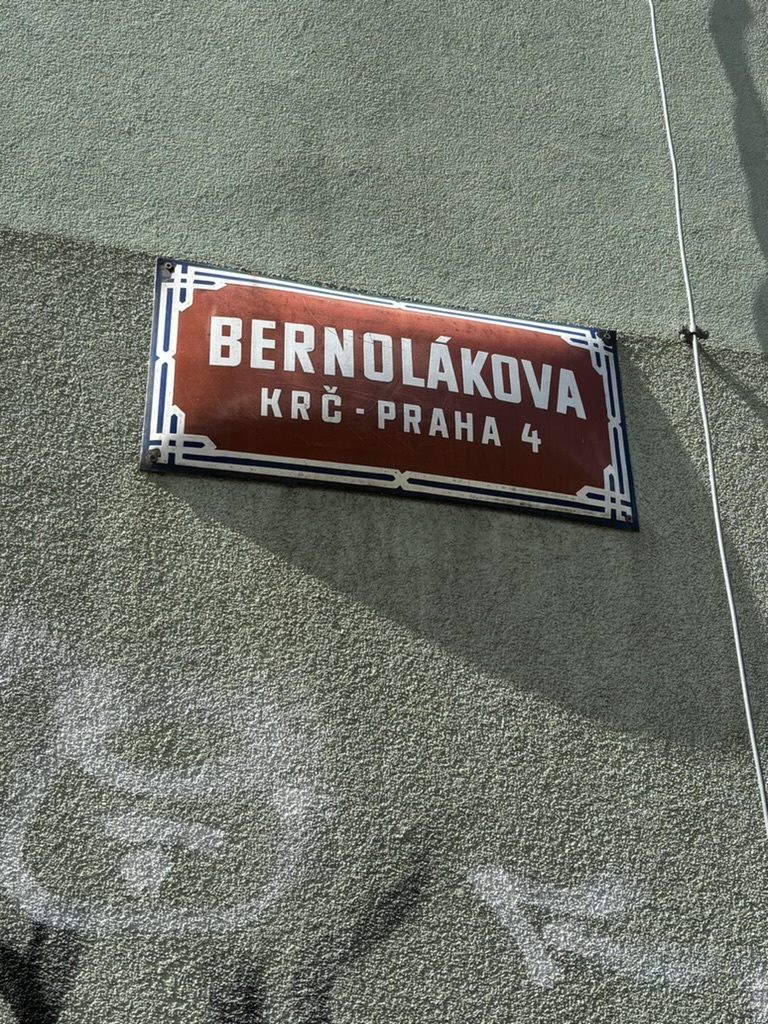
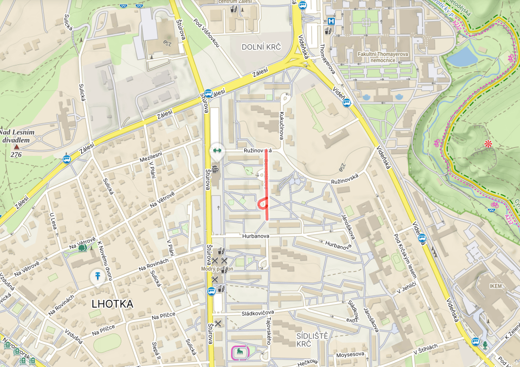
  • Bernolákova was built in 1969.

    Anton Bernolák was born in Slanica, a now-extinct village in the Orava region of Slovakia, in 1762. He studied theology in Vienna and Bratislava, where he studied at the general seminary.

    While at the seminary, he became a big supporter of the Enlightenment reforms of Maria Theresa and Joseph II, and also became a big promoter of the idea of a Slovak nation.

    He set about codifying the Slovak language, based on the dialect of the Trnava region. In 1787, this led him to publish Linguae Slavonicae… compendiosa simul et facilis Orthographia, the first book of its kind. His codification was based on the principle that words should be written as they are pronounced.

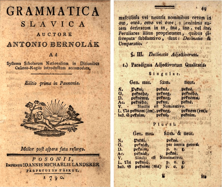
    In 1790, this was followed by Gramatica Slavica, the first published grammar of the Slovak language.

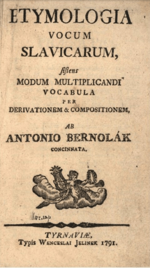
    As well as by Etymologia vocum Slavicarum sistens modum multiplicandi vocabula per derivationem et compositionem (1791).

    As well as his linguistic work, Bernolák spent six years working as secretary of the archbishop’s vicariate in Trnava, and, from 1797, was a parish priest in Nové Zámky.

    At the time of his death in 1813, Bernolák was working on a six-volume Slovak-Czech-Latin-German-Hungarian dictionary, which was ultimately published in Buda about twelve years after his death.

    The second codification of the Slovak language would come in the 1840s, courtesy of Ľudovít Štúr, who the local main road – also built in 1969 – is named after: https://whatsinapraguestreetname.com/2026/03/05/prague-4-day-325-sturova/.


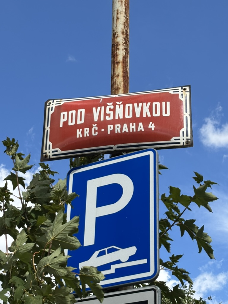
  • Pod višňovkou was built in 1935.

    We’re under a sour cherry tree. Or we used to be. Same story as https://whatsinapraguestreetname.com/2026/08/22/prague-4-day-427-visnova/. Same tree too. Or one of them.

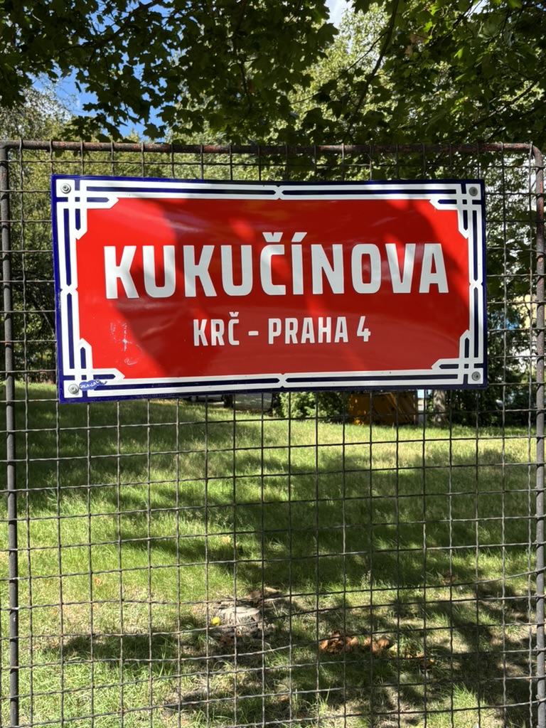
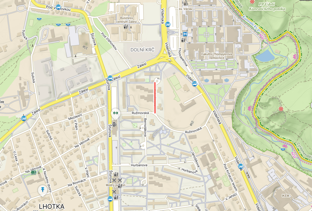
  • Kukučínova was built in 1969. Its spelling was corrected from the original Kukučinova in 1999.

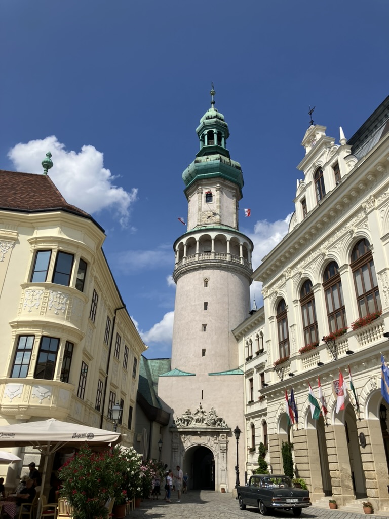
    Matej Bencúr was born in Jasenová, Slovakia, near Dolný Kubín, in 1860. He went to school in several towns, ultimately completing his schooling in Sopron, which is now in Hungary (cue a quick photo dump from a wonderful two-week holiday which started in Sopron in 2024).

    In 1883, Bencúr wrote his first short story, Na hradskej ceste (On the Castle Road).

    He wanted to study at the Faculty of Theology in Bratislava, but opted for Prague instead (Bratislava University, at that point, being a rather hostile place for Slovaks, who were only the third linguistic group behind German and Hungarian speakers).

    He studied, therefore, at Prague University’s Faculty of Medicine from 1885 to 1893. Returning to Slovakia, that old prejudice remained, and he found it hard to get a job.

    During his studies, he published a further six works of prose under the pseudonym Martin Kukučín.

    Bencúr did manage to be appointed as a medical practitioner on the island of Brač (now in Croatia). He became a member (and ultimately chairman) of a local cultural society, Hrvatski Sastanak (Croatian Meeting), established a pharmacy, and stayed in Brač until 1906.

    In 1908, Bencúr and his wife, Perica Didolić, moved to Chile, ultimately settling in Punta Arenas – the world’s southernmost city, and apparently one of the places outside of the Balkans with the highest percentage of people of Croatian descent.

    Bencúr became the first doctor of the International Red Cross in Patagonia; there is still a polyclinic named after him in Punta Arenas.

    In 1922, Bencúr returned to Slovakia (then Czechoslovakia), where he would live until he went back to Croatia (then Yugoslavia) in 1924. His literary output picked up again after a relatively quiet decade on the publication front; his works at this time included travelogues, historical novels, and one novel about Croatian migrants in Chile.

    Bencúr died in Pakrac, Slavonia, in 1926. He was initially buried in Zagreb; his remains were transferred to Martin, Slovakia in 1928. Perica would outlive him significantly – she died in 1971, and is now buried with him.


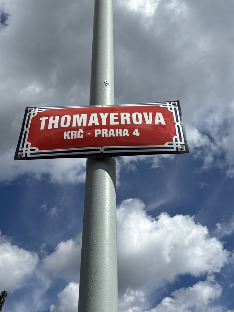
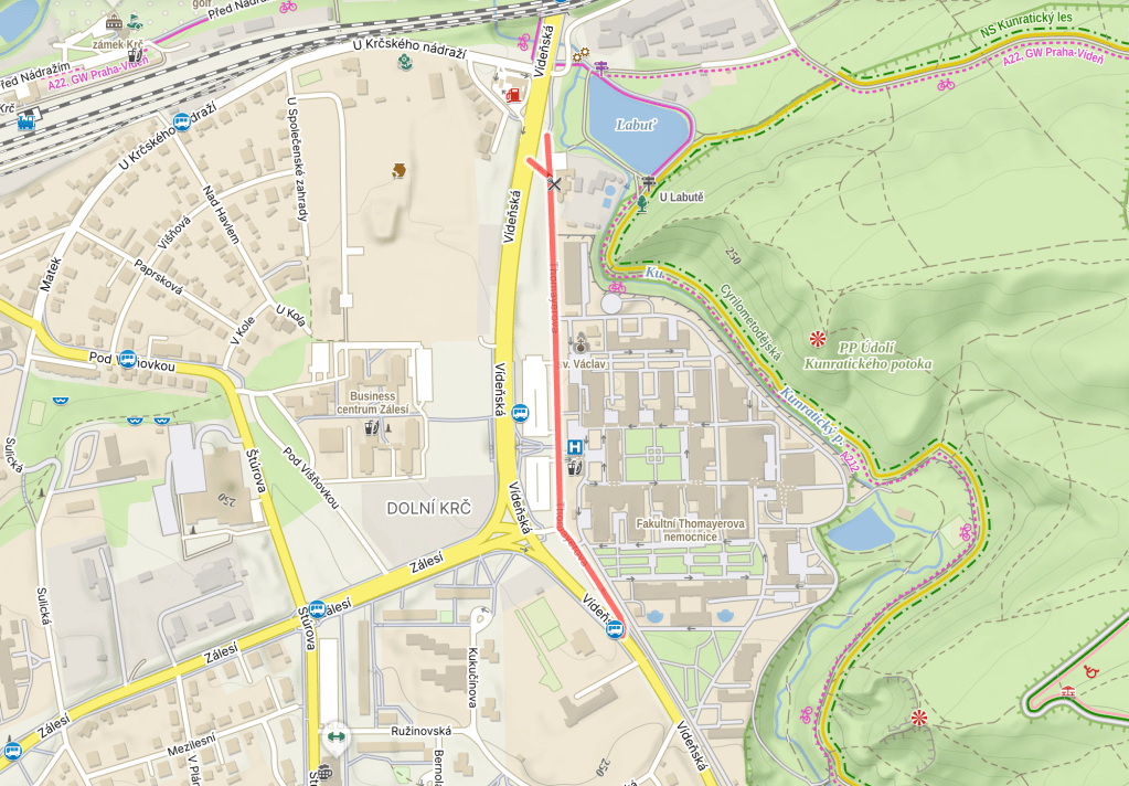
  • Thomayerova was built in 1990.

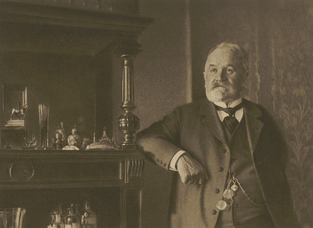
    Josef Thomayer was born in Trhanov, near Domažlice in the Chodsko Region (https://whatsinapraguestreetname.com/2024/01/30/prague-2-day-25-chodska/) in 1853.

    He went to school in Klatovy in the Plzeň region, where one of his classmates would later change his name to Jaroslav Vrchlický and become a famous poet.

    Thomayer then studied medicine in Prague, and became very important in Czech medicine post-graduation.

    In 1885, he founded Sborník lékařský, a medical journal. He wrote fundamental texts, including Úvod do državé lékařský (Introduction to Small Medical Practice) and Pathologie a therapie nemočí větních (Pathology and Therapy of Internal Diseases).

    He was appointed associated professor of medicine at Charles University in 1883, becoming a full professor in 1897. He also became head of the polyclinic at the Czech Medical Faculty in 1886.

    Thomayer specialised in internal medicine, especially abdominal percussion, and is seen as the father of the study of internal medicine in Bohemia.

    Apparently, he was extremely proud of his Chod routes, and got a disproportionate amount of joy and validation when students from Prague and Central Bohemia got poor grades.

    In addition to his over 200 publications in the field of medicine, Thomayer wrote feuilletons and works about travel.

    Thomayer retired in 1921, and died of rectal cancer in 1927, having battled this without surgery. He’s buried in Trhanov.

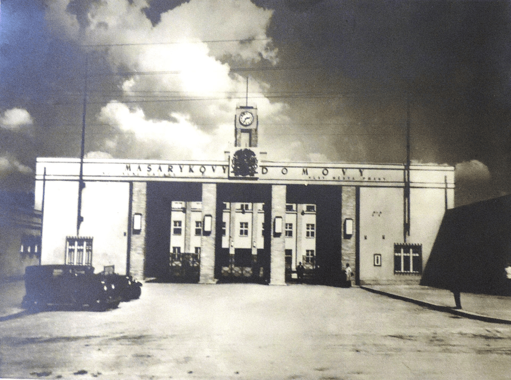
    A year later, here in Krč, a social care institution, with a functionalist design by architect Bohumír Kozák, was opened. It was named Masaryk Homes after then-president Tomáš Garrigue Masaryk (https://whatsinapraguestreetname.com/2024/09/01/prague-2-day-156-masarykovo-nabrezi/).

    Fittingly, it was opened on 28 October 1928, the tenth anniversary of Czechoslovak independence (https://whatsinapraguestreetname.com/2024/09/25/prague-1-day-144-28-rijna/).

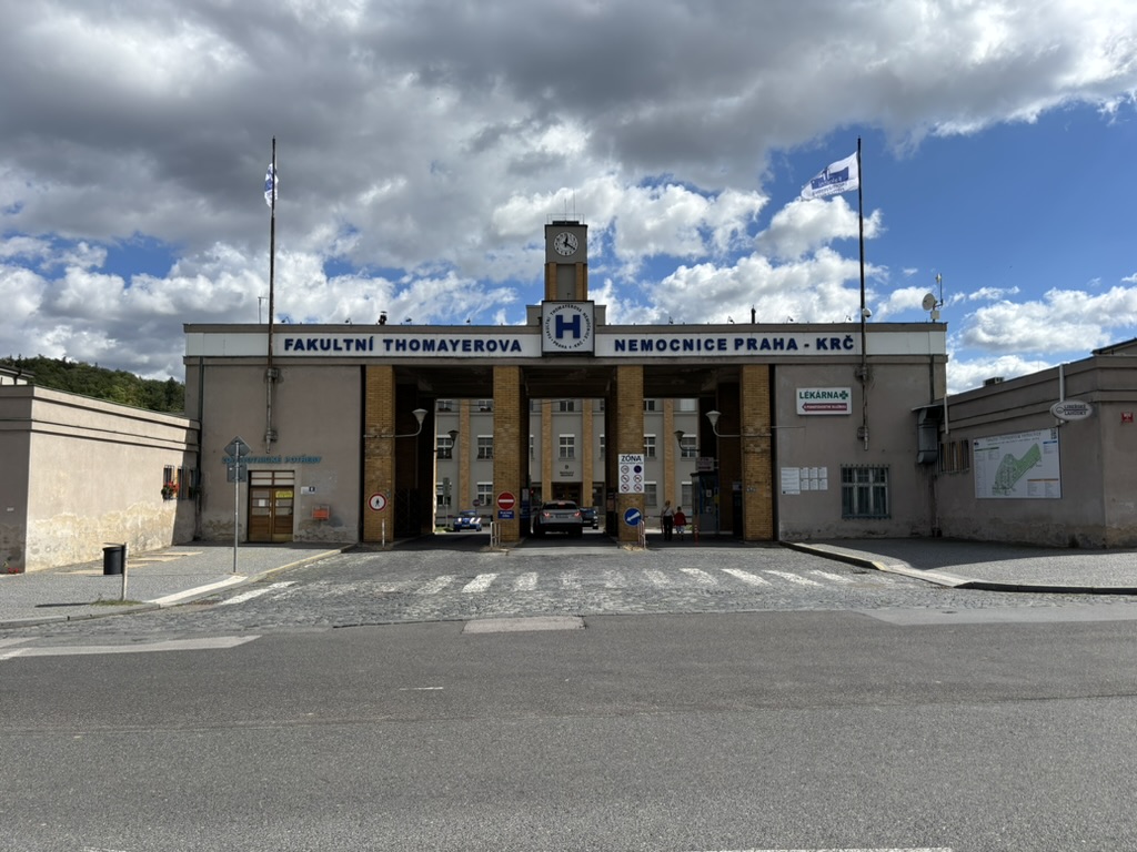
    By 1954, however, ‘Masaryk’ was certainly a dirty word for the Communist authorities, and, when the former Masaryk Homes were converted into a hospital, it was named the Faculty Thomayer Hospital.

    About 50,000 people a year are hospitalised here, and there are around 1,600 staff.

    In the 1990s, it was revealed that the hospital has a three-story underground medical facility in a reinforced concrete shelter. This was built between 1952 and 1961, but kept a secret. Great photos on https://commons.wikimedia.org/wiki/Category:Underground_facility_of_the_Thomayer%27s_Hospital.

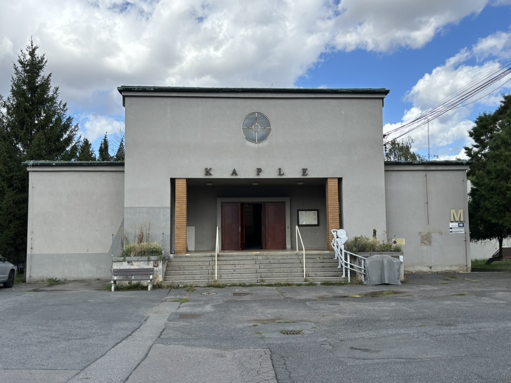
    The hospital has its own chapel, dedicated to St Václav/Wenceslas.

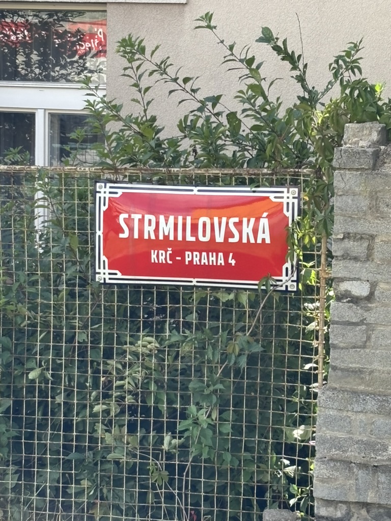
  • Strmilovská was built in 1941.

    Strmilov is a town in South Bohemia, bordering Moravia. Strmilov proper has a population of 1,100, or 1,400 if you include four other villages which are part of the district.

    While ‘strmý’ means ‘steep’, it’s believed that the name could have other sources: it could be from Střemil, an Old Czech men’s name, or it could be derived from the Middle High German ‘Tremel’, meaning a beam.

    Probably first settled in the early 1200s, Strmilov was elevated to town status in 1385. Owned by the noble Hradec family, it ultimately passed into the hands of the lords of Slavat when that branch of the Hradec family died out in 1633.

    The Slavats would die out in the 1700s.

    In ‘people could have spent their time on something other than this’ news, Strmilov was demoted from town to village on 10 October 2006, only to become a town again on… 17 October 2006.


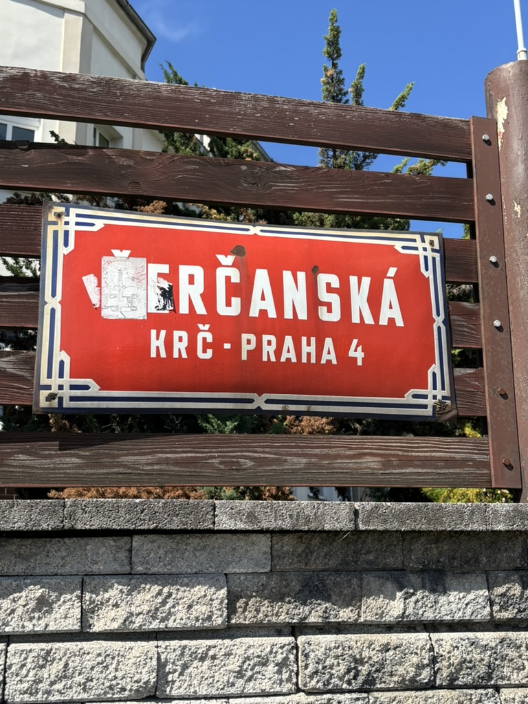
  • Čerčanská was named in 1947.

    Čerčany is a village in Central Bohemia, 8 km south of Benešov and, in good traffic, only about half an hour’s drive south-east of Prague. It lies on the Sázava river (https://whatsinapraguestreetname.com/2024/02/18/prague-2-day-31-sazavska/).

    The earliest mention of Čerčany – then called Černčany – that we know of dates from 1356. It probably derived from the word ‘černý’ (black), due to black soil in the surrounding area.

    Nowadays, Čerčany has about 3,100 inhabitants. It experienced considerable growth in the 19th century, mainly due its location at the railway junction of three lines (Prague – Benešov, Prague – České Budějovice, Prague – Čerčany/Dobříš).

    On the freezing cold night of 25 January 1945, a train passed through Čerčany. It carried over 2,000 Jewish men and women, who had been in Auschwitz and were now being transported to Mauthausen.

    Five prisoners tried to escape at Čerčany station; SS guards shot all five of them. Their names are not known.

    A plaque at the station, added in 2019, honours them: https://zachovanipameti.udu.cas.cz/en/monument/205-memorial-plaque-to-the-victims-of-a-death-transport-cercany.

    F*ck anyone who is OK with anyone doing these things to others solely because of their race, religion, gender or orientation.


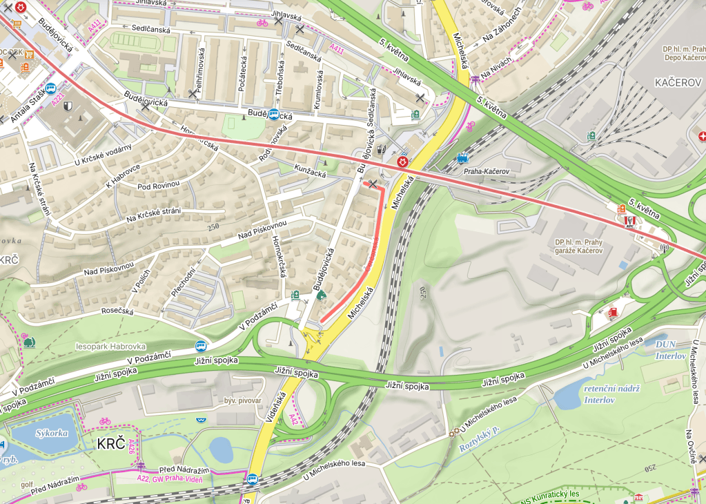
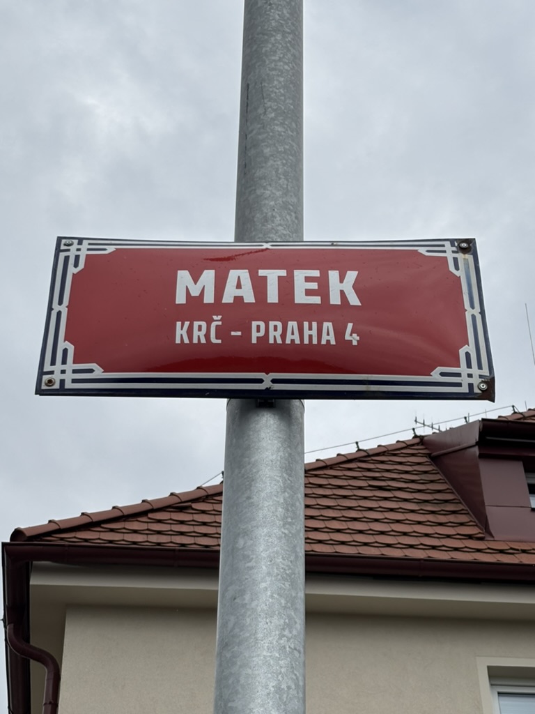
  • Matek was named in 1941.

    ‘Matek’ is the genitive plural of ‘matka’, and therefore translates as ‘of the mothers’.

    In 1914, Ochrana matek a kojenců / Protection of Mothers and Infants was founded; when Czechoslovakia was founded, it started to operate across the new country.

    In 1922, it merged with another organisation, Československá péče o dítě (Czechoslovak Child Care), and became known as the Československá ochrana matek a dětí.

    Of the many shelters and hospitals that it operated, one was around here. It was founded in 1922, and was the first institute of its kind in the country.

    Since 1949, it’s been part of Thomayer University Hospital, which is getting a post or two to itself quite soon.

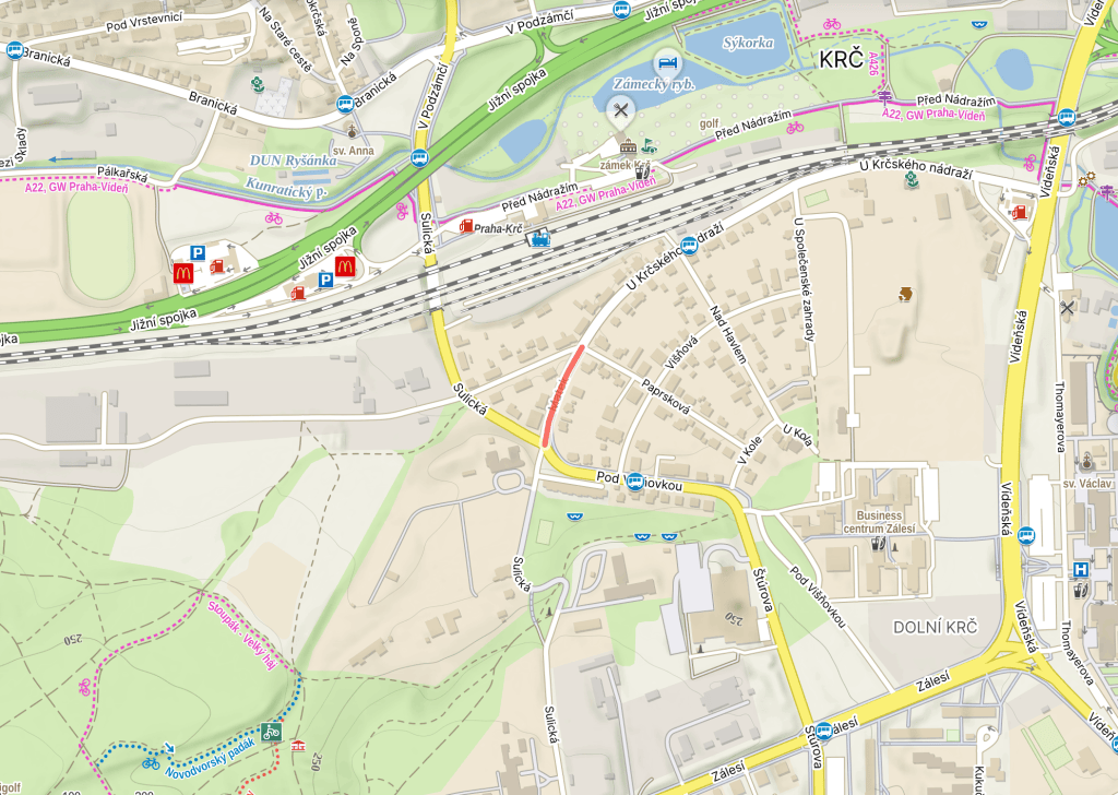
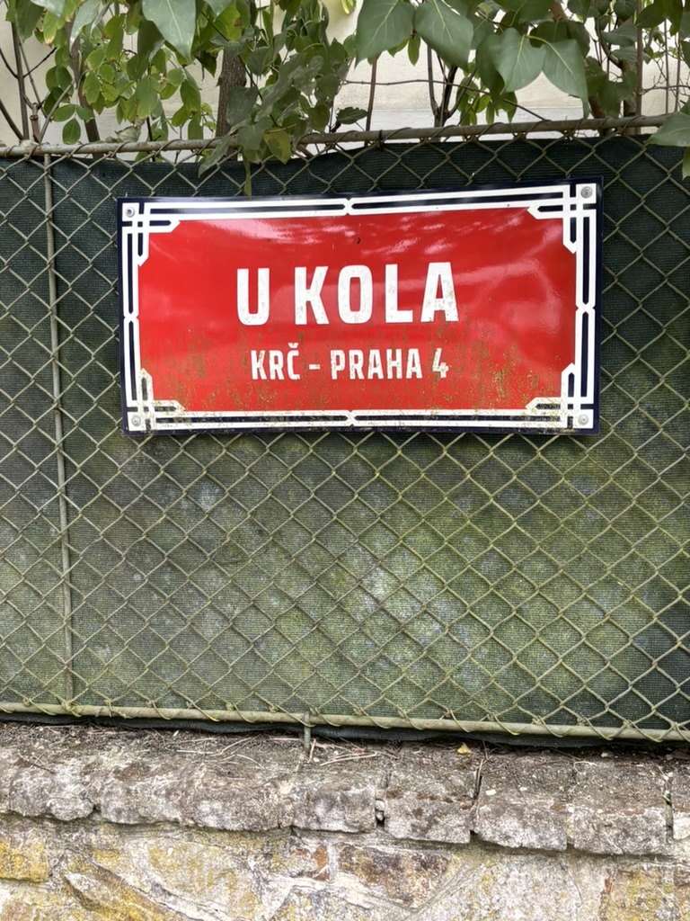
  • U kola was built before 1935.

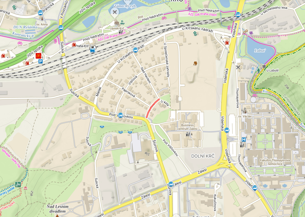
    This is the third part of the wheel trilogy that started on https://whatsinapraguestreetname.com/2026/08/30/prague-4-day-430-paprskova/ and continued on https://whatsinapraguestreetname.com/2026/08/31/prague-4-day-431-v-kole/.

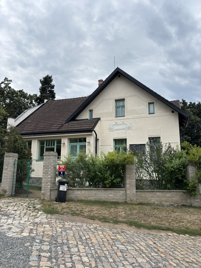
    In 1912, a late Art Nouveau family house was built here for the family of the lawyer and writer Antal Stašek (https://whatsinapraguestreetname.com/2026/05/07/prague-4-day-378-antala-staska/), who we’ve discussed a lot in Krč.

    It was named Villa Kamila after his wife. It was also the home of their son, Ivan Olbracht (https://whatsinapraguestreetname.com/2026/03/30/prague-4-day-346-olbrachtova/), including when he was an adult living with his partner, Helena Malířová.

    A frequent visitor to the house was one Tomáš Garrigue Masaryk (https://whatsinapraguestreetname.com/2024/09/01/prague-2-day-156-masarykovo-nabrezi/). His regular visits might be why the street was ultimately built (streets are helpful when you have a presidential carriage or car).

    The house was renovated in 2015-7, and has a plaque outside commemorating its original residents.

    Some very current news on the legacy of Ivan Olbracht: there was going to be a station on the upcoming D line of the metro named after him, but, of course, he was quite the Communist.

    So it was announced (yesterday!) that it’s going to be called Ryšánka instead, on which see https://whatsinapraguestreetname.com/2025/11/10/prague-4-day-225-k-rysance/.

  • V kole was built in 1925.

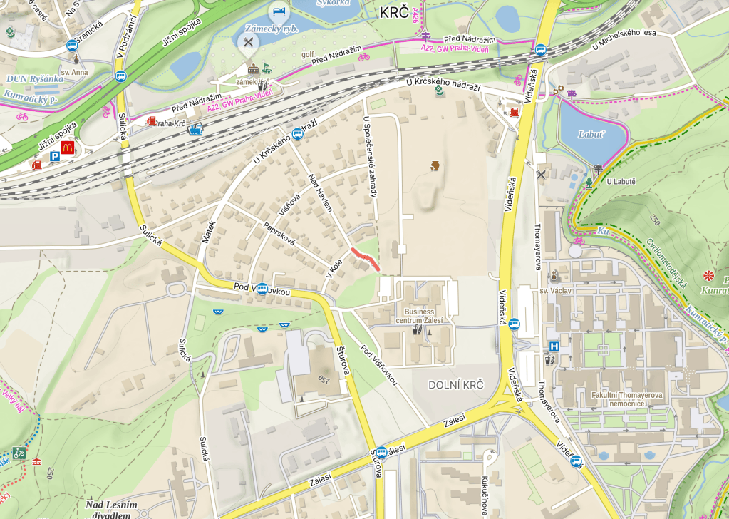
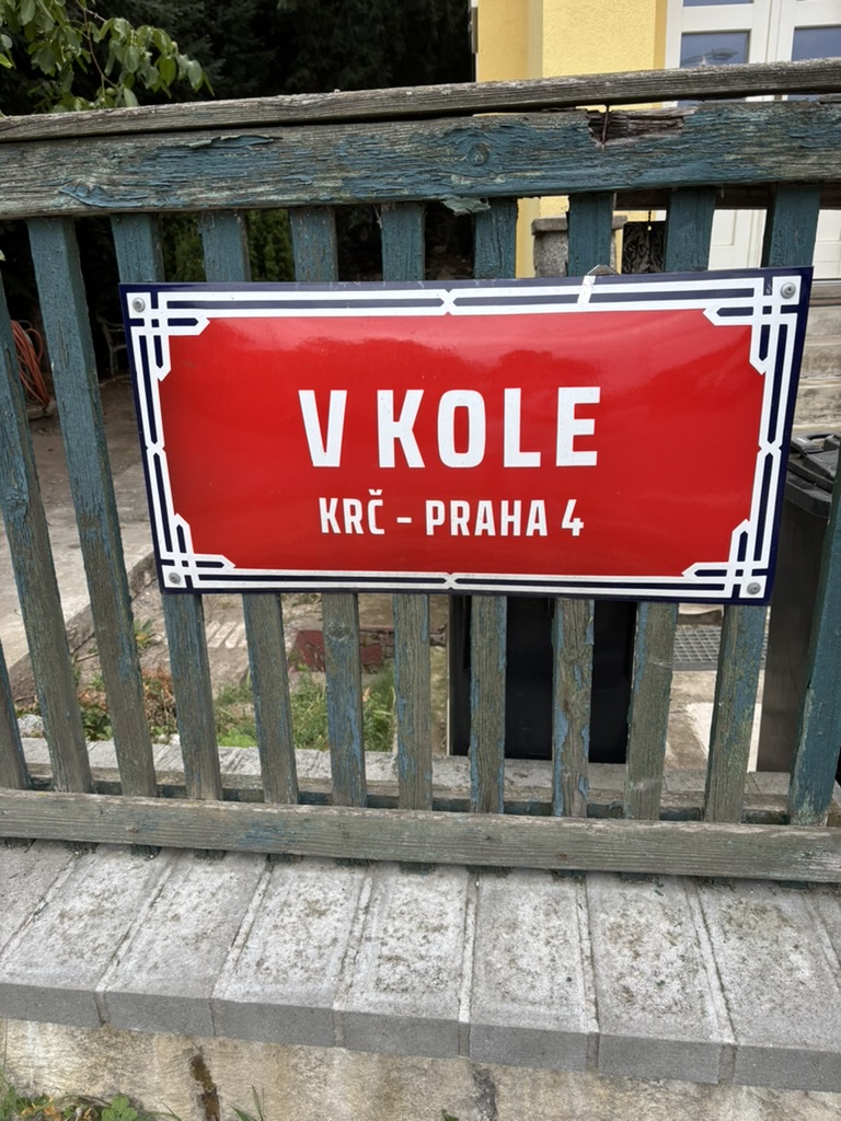
    ‘V kole’ translates as ‘In the wheel’, or ‘In the round’, so, for more info, please take a look at yesterday’s equally wheel-related https://whatsinapraguestreetname.com/2026/08/30/prague-4-day-430-paprskova/.

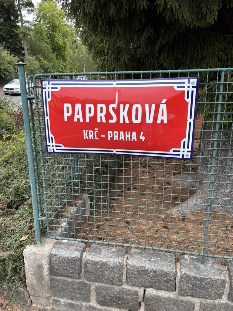
  • Paprsková was built in 1925.

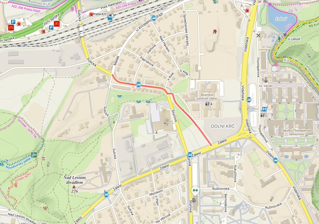
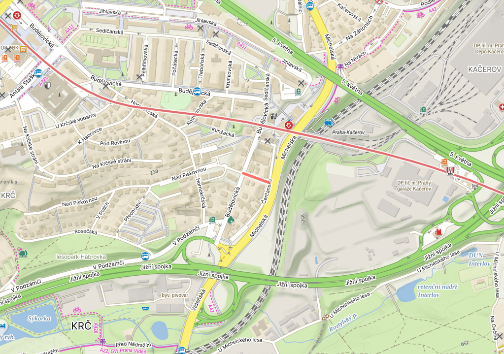
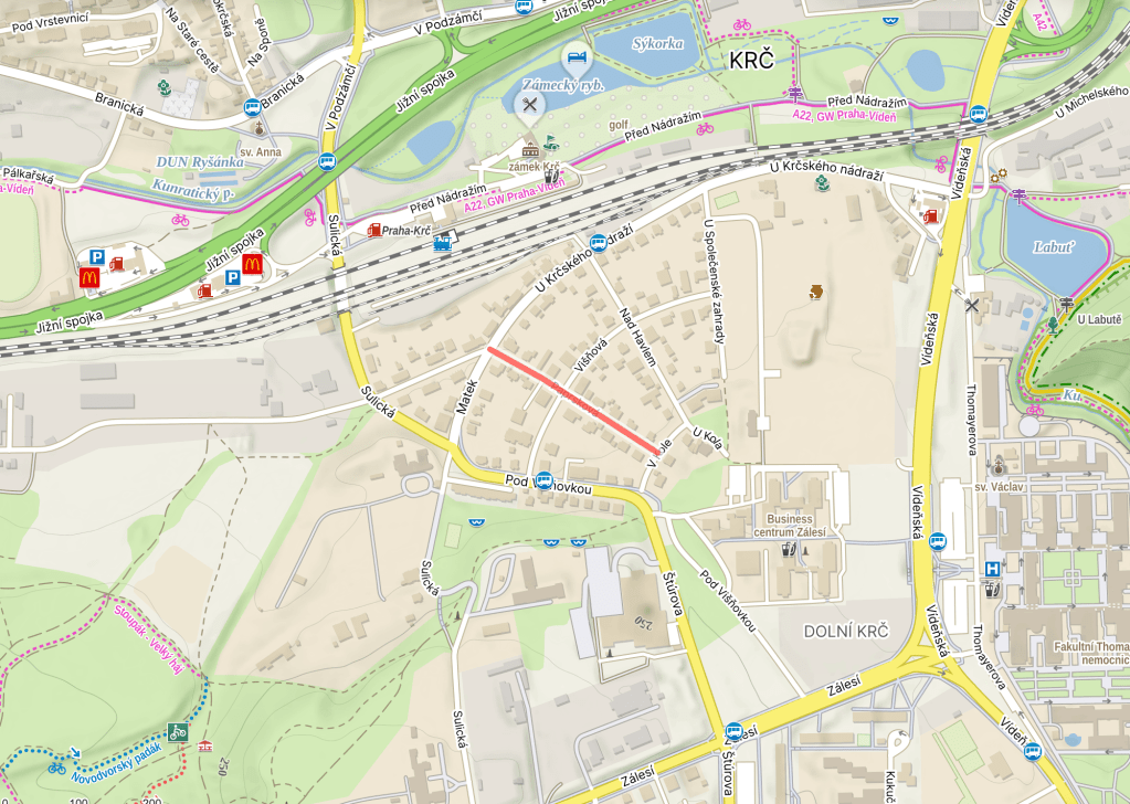
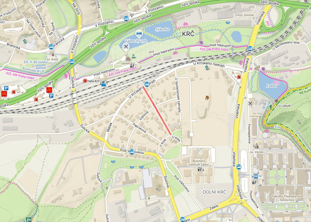
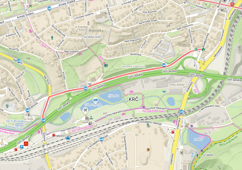
    Take a look at the map above. The street looks a little bit like the spoke of a wheel, and the Czech for spoke (in this sense, not as in ‘past tense of speak’) is ‘paprsek’.

    A ‘paprsek’ can also be a ray, beam or shaft (a ‘světelný paprsek’ is a ray of light, and I will now have Madonna in my head for the rest of the day). Then ‘rentgenové paprsky’ are X-rays, and a ‘laserový paprsek’ is a laser beam.

    The wheel will come up again in the next few days.


  • Pálkařská was built in 2004.

    Actually, let’s go back to 3 February 1981, when a bunch of players who had left a well-known softball and baseball club based in Prague 4, TJ Tempo Praha, decided to form a new one.

    It was given the very does-what-it-says-on-the-tin name of TJ Sokol Praha 4 – Krč (https://whatsinapraguestreetname.com/2024/08/26/prague-2-day-114-sokolska/ is where to go if you want a primer on the Sokol movement).

    Renamed as SK Krč Altron at some point, the club gradually started building a softball and baseball centre around here from 1994 onwards. Apparently, it’s one of the biggest of its kind in Europe (with two baseball and three softball fields).

    In 2009, the club gained its current name, Eagles Prague. Here’s their current team: https://www.baseball.cz/competition/roster/1?team=6110&season=21 (they play in the Extraliga, which they’ve been runners-up a few times).

    Oh, and the key part – a ‘pálkař’ is a batter or a batsman, and the ‘pálka’ is the bat (this is also the case if the game you’re playing is ping-pong).


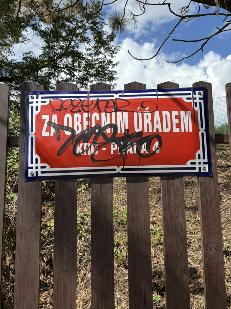
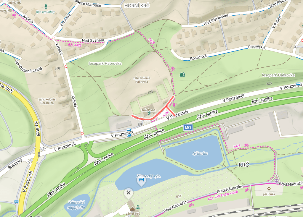
  • Za obecním úřadem was built in 1920.

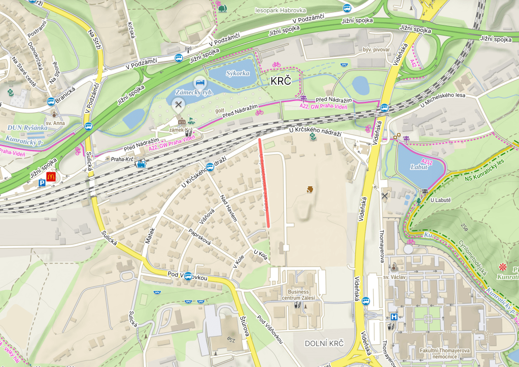
    The street name translates as ‘Behind the municipal office’, and, in the early 20th century, Krč’s municipal office was located here (house number 109).

    However, this was when Krč was a separate town, and not part of Prague. Nowadays, if you’re a Krčer, and you need some sort of municipal services, https://whatsinapraguestreetname.com/2026/05/07/prague-4-day-378-antala-staska/ is where you should head.

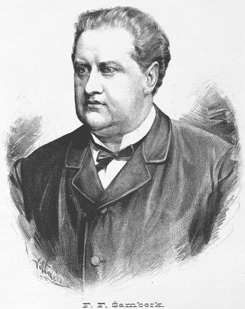
    Until 1935, the street was called Šamberkova, after František Ferdinand Šamberk (1838-1904), an actor and playwright.


  • Višňová was built in 1925.

    It’s quite nice and green around here (to me, at least), but apparently it used to be greener (as we learned on https://whatsinapraguestreetname.com/2026/08/20/prague-4-day-425-u-spolecenske-zahrady/).

    And it may also have been redder, too – a ‘višeň’ is a sour (or morello) cherry, one of life’s great pleasures, and is also the name of the tree that they grow on. And there was once a cherry orchard round here.

    A ‘třešeň’ is also a cherry, or a cherry tree, but not of the sour variant.


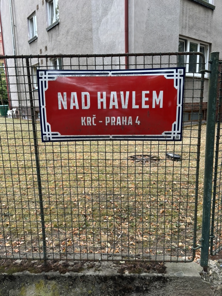
  • Nad Havlem was built in 1925.

    This one is nothing to do with Václav Havel, but if you want to read about him, you can: https://whatsinapraguestreetname.com/2024/09/14/prague-1-day-104-namesti-vaclava-havla/.

    It is, however, to do with St Gall (he who gave his name St Gallen in Switzerland), who we discussed on https://whatsinapraguestreetname.com/2024/10/08/prague-1-day-175-havelska/.

    As mentioned on https://whatsinapraguestreetname.com/2026/08/18/prague-4-day-423-v-podzamci/, the Carmelites of St Gall moved to Krč in 1627; their chateau included a chapel, which is what today’s street gets its name from.

    Somehow, we’re going to end up talking about another chapel in Krč dedicated to St Gall before the week is out.


  • U Společenské zahrady was built in 1925.

    In either 1843 or 1845 (depending on your source), the Česká společnost pro zvelebování zahradnictví, or the Czech Society for the Improvement of Horticulture, was founded on Bredovského (now known as https://whatsinapraguestreetname.com/2024/09/18/prague-1-day-127-politickych-veznu-political-prisoners/).

    In 1845, it moved south to Na Slupi (https://whatsinapraguestreetname.com/2024/08/21/prague-2-day-88-na-slupi/), where it housed exhibitions in its multiple greenhouses until 1894, when the Society sold the premises to make way for a Charles University campus.

    They then set up a společenská zahrada – a society garden – here in Krč.

    From 1923, the gardens hosted the Dívčí zahradnická škola (Girls’ Horticultural School), which had a two-year study programme. The Director was Dr. Anna Berkovcová, one of Czechoslovakia’s first female university students.

    Despite its name, the school also taught foreign languages, economics, hygiene, and much else.

    It’s not instantly clear when the school and garden closed; we do know that the school was renamed as Vazačsko – aranžérská škola (something like ‘The School of Binding and Arranging’) in 1969, and there’s a Facebook group (sadly only with two members) for those who attended from 1970 to 1972.

    I’ve also seen a comment on one page from somebody who said they graduated in 1975 and remembered the place fondly.

    In 2001, archaeologists discovered 1,400 buried objects, including two prehistoric rondels (circular ditch structures) on the premises: https://www.kudyznudy.cz/aktivity/krcsky-rondel.


  • U krčského nádraží was built in 1925.

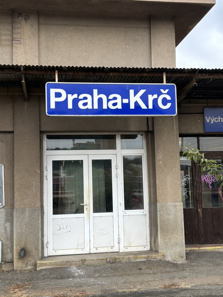
    We spoke briefly about the present and future of Praha-Krč Station (nádraží) on https://whatsinapraguestreetname.com/2026/08/15/prague-4-day-420-pred-nadrazim/. Now it’s time to talk about its past.

    Back in 1882, Modřany (south of Krč, in Prague 12; discussed on https://whatsinapraguestreetname.com/2025/09/29/prague-4-day-185-modranska/) was known for its sugar factory.

    Which made a train connection to Prague – or, at least, to Nusle, which wasn’t yet within the city limits (https://whatsinapraguestreetname.com/2025/02/24/prague-4-day-44-k-podjezdu/) – a sensible idea.

    As Krč was on the route, a station was opened here too, also in 1882.

    However, the station was located elsewhere at this point, roughly where there is now an underpass. This will explain why it’s easy to access the train from Před nádražím, but less obvious (or near) from this street, which is said to be literally by it.

    Here are some staff standing in front of the original station at some point before World War One.

    In 1964, the station was knocked down as part of the completion of the Prague railway junction (mentioned, or part of it, on https://whatsinapraguestreetname.com/2026/01/23/prague-4-day-288-branicky-most/).

    A new station opened in the same year, located centrally in Dolní Krč (https://whatsinapraguestreetname.com/2026/07/18/prague-4-day-406-dolnokrcska/). However, the construction of what is now the country’s busiest road (https://whatsinapraguestreetname.com/2026/08/17/prague-4-day-422-jizni-spojka/) made the station suddenly feel somewhat peripheral.

    Here are some pics of how it looks now (complete with not terribly varied list of departures), which probably isn’t how it will look for much longer.


  • V podzámčí was built in 1935.

    In 1222, the fortress and village of Lower Krč (Dolní Krč; https://whatsinapraguestreetname.com/2026/07/18/prague-4-day-406-dolnokrcska/) were mentioned in writing as belonging to the Vyšehrad Chapter (https://whatsinapraguestreetname.com/2024/08/26/prague-2-day-118-vysehradska/).

    In 1420, the fortress was captured by the Hussites under one Jan Žižka (https://whatsinapraguestreetname.com/2023/02/26/prague-3-day-150-zizkovo-namesti/ and many other Prague 3 posts).

    It passed through various owners, many of whom didn’t seem to give two hoots about it, so much so that a text from around 1620 describes it as ‘desolate’.

    In 1627, Old Town burgher Jan Lukšan z Luftenštejna sold it to the Discalced Carmelites of St. Havel (https://whatsinapraguestreetname.com/2024/09/08/prague-1-day-39-karmelitska/ and https://whatsinapraguestreetname.com/2024/10/08/prague-1-day-175-havelska/).

    They used it as their summer residence, but, in 1786, Joseph II abolished the monastery, and passed through various owners.

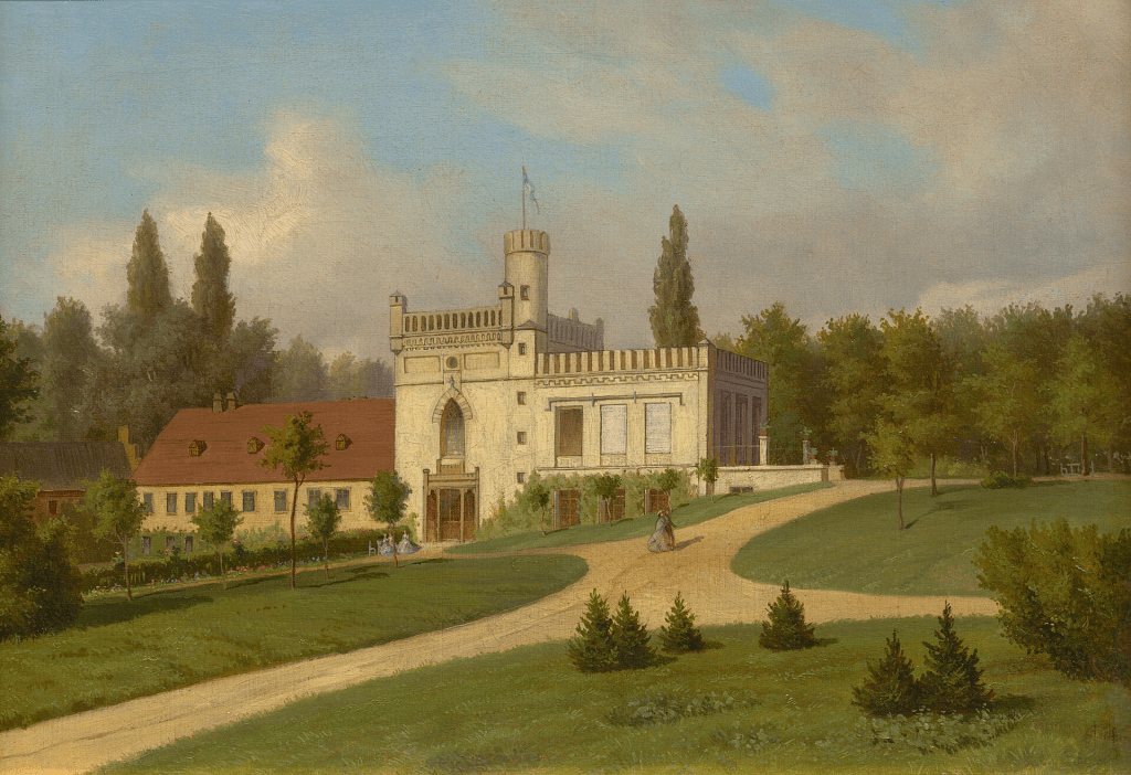
    It wasn’t until the 1860s that one owner – Karl Baron Schlosser – turned the building into how we know it today, with neo-Gothic façades, battlements, and a British-inspired park (painting from 1865 by Eduard Herold).

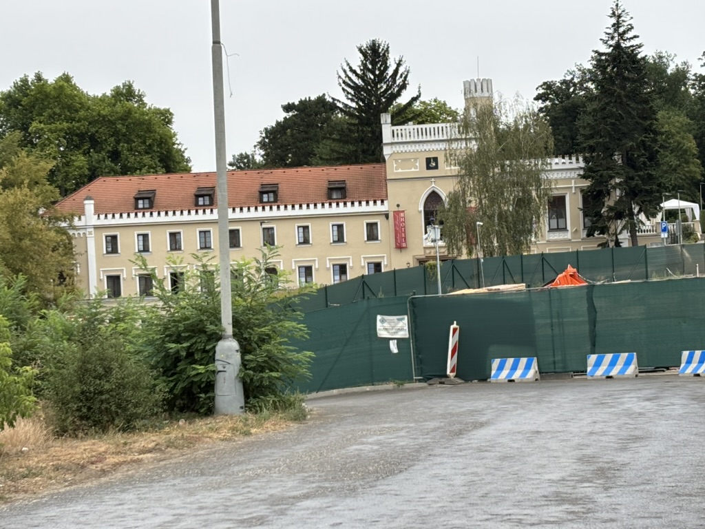
    From 1900 to 1948, it was owned by the Welz family, before becoming the home of the state-owned Agroprojekt company until 1989. Returned to the Welzes, it underwent significant reconstruction in 2003, and has served, since then, as the four-star Hotel Château St. Havel (https://chateauhotel.cz/ is less heavy on the construction work than my photo below is).

    And, because I didn’t explicitly say so: a ‘podzámčí’ is under (‘pod’) a château (‘zámek’), i.e. it’s the area located in the immediate vicinity of a castle.

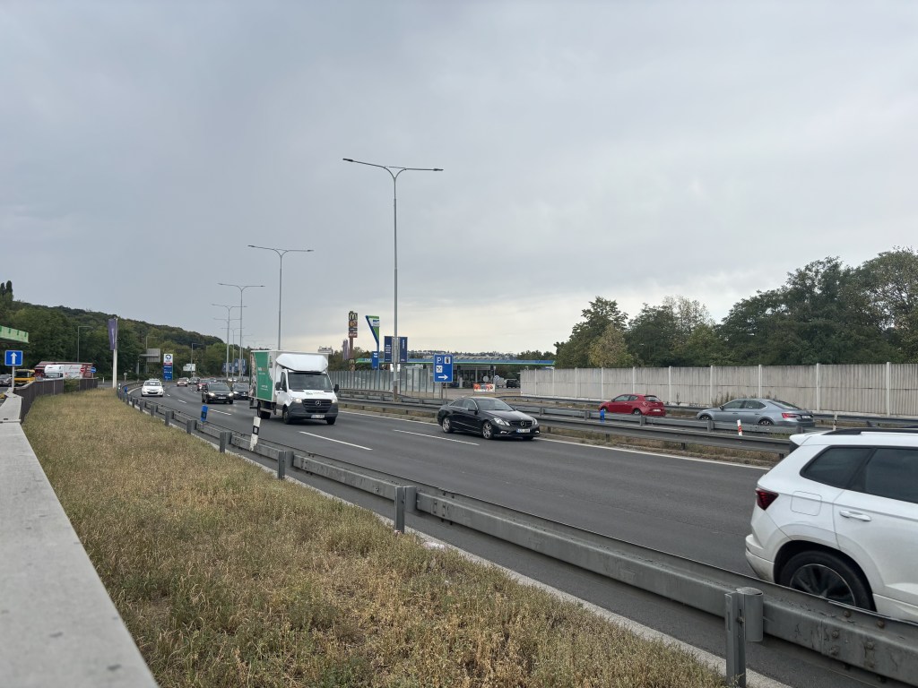
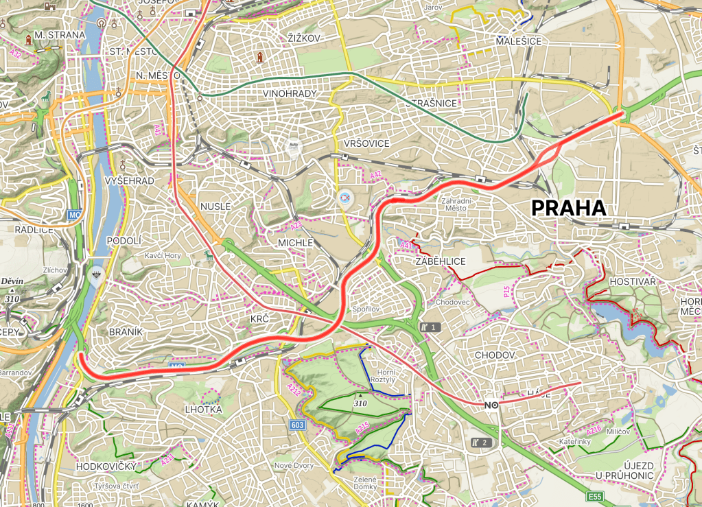
  • Jižní spojka was built in the 1980s, and given a name in 1992. Re: the lack of street sign, walking along the motorway until I found one didn’t quite appeal yesterday, and may not be all that legal.

    ‘Jižní spojka’ translates as ‘The Southern Link’ (as you can see from the map above, it links a good few places).

    The idea for a major road round here didn’t come from people you would want it to – in 1939, the Nazis had it in mind as part of a long route connecting Nuremberg and Wrocław (at the time, Bohemia was part of the Nazi’s Protectorate in the Czech Lands, and Wrocław was still part of Germany).

    However, the costs of the war meant that construction never started.

    Construction of the highway as we know and, well, know it began in the early 1980s. The first section, between Barrandov Bridge (https://whatsinapraguestreetname.com/2026/01/22/prague-4-day-287-barrandovsky-most/) and Chodov.

    In the late 1980s, the section from Spořilov to Zahradní Město followed. Construction was completed at the end of 1997.

    Jižní spojka has up to six lanes (I assume this varies in places, but, again, not a walk I was going to do), and has about 120,000 vehicles a day, making it the busiest road in the country.

    It won’t surprise you to find out that internet searches for Jižní spojka will only really float your boat if you are into car accidents, people complaining about traffic, or both.

  • Nad svahem was built in the early 1980s.

    A ‘svah’ is a slope or a hillside, and this street is located above one.

    Somehow, this is our fourth svah-based street in Prague 4 (and counting): we started with https://whatsinapraguestreetname.com/2025/03/21/prague-4-day-53-svazna/ in Nusle.

    And then we were on a slope in Podolí, (https://whatsinapraguestreetname.com/2025/07/01/prague-4-day-133-ve-svahu/) and then under one in Braník (https://whatsinapraguestreetname.com/2025/11/21/prague-4-day-236-pod-svahem/).