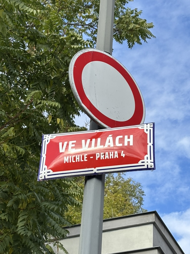
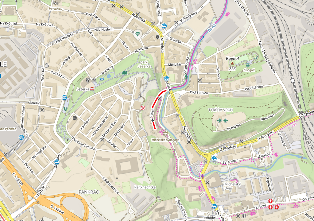
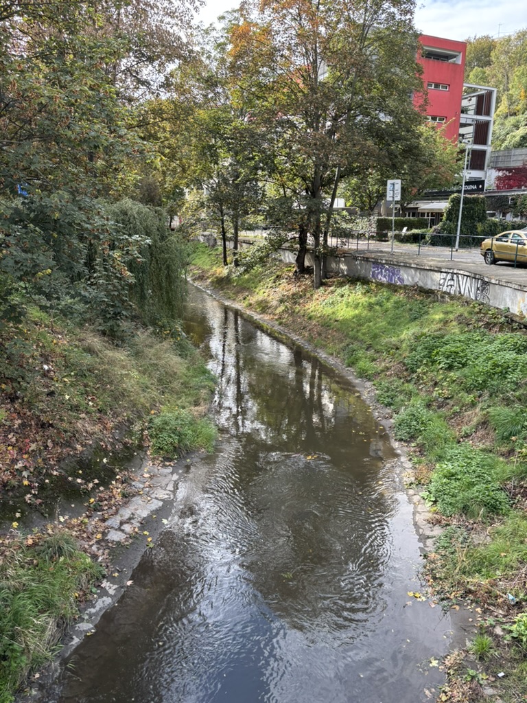
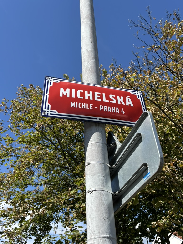
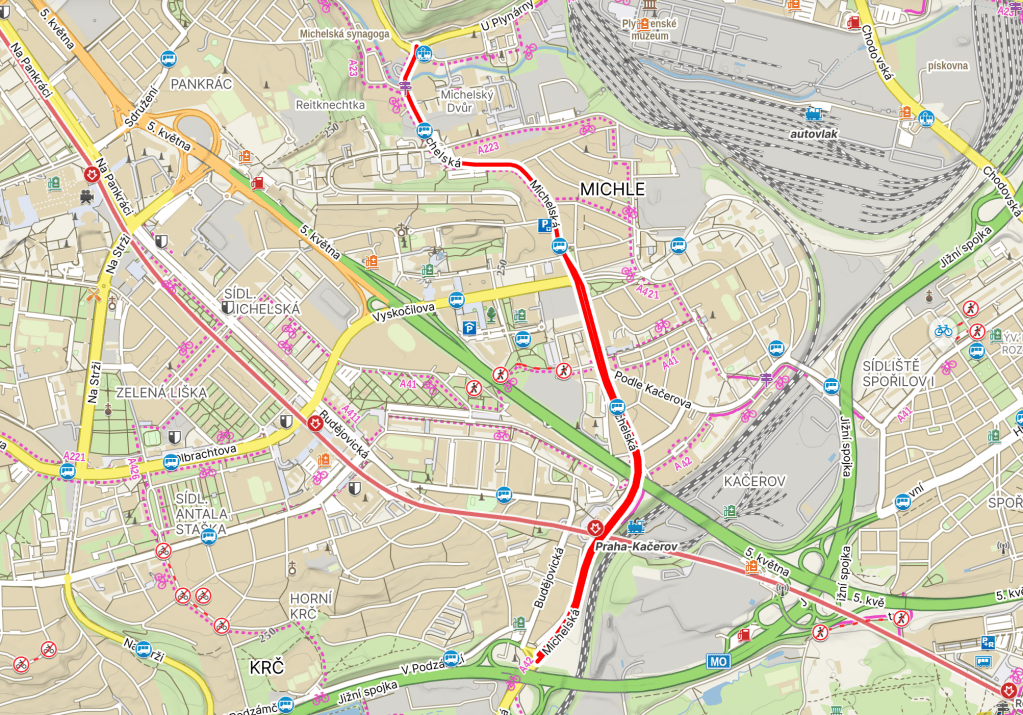
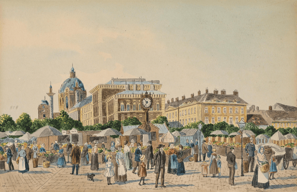
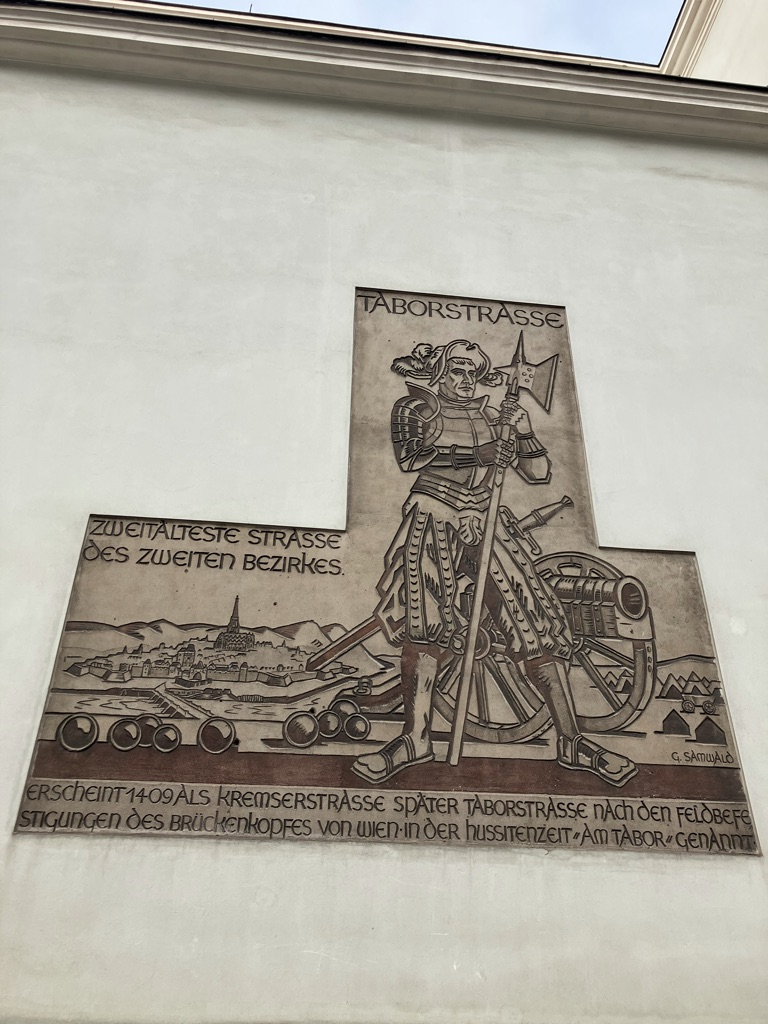
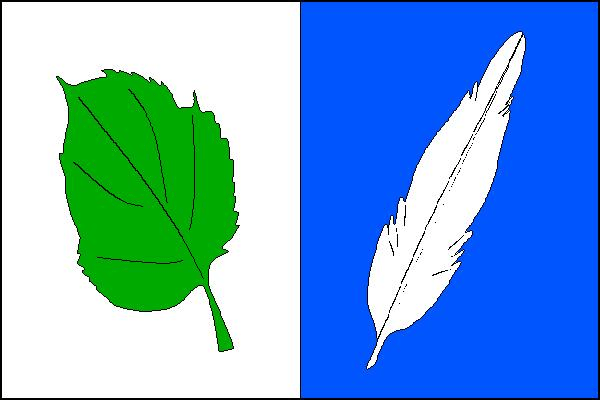
Michle (no, Google, I thought the fact that I’m writing this from a Czech IP address would be a clue, but I DID NOT MEAN ‘MICHAEL’), got an indirect mention in 1185, when a father and son, subjects of the Vyšehrad Chapter, were described as being ‘de Michel’.
Then, in 1279, someone called Jindřich z Michle was a witness to a contract signed by the Abbot of Břevnov (to which, after that date, Michle belonged).
Despite my earlier comments, the name ‘Michle’ probably does denote that there was a farmstead here that belonged to someone called Michal or similar. It was a pretty large settlement, large enough to include a synagogue, which will get more coverage in the coming days.
In 1420, the Prague Hussites – who also besieged Vyšehrad Castle about this time – took control of Michle.
Reček insisted that income gained from Michle should be used to fund the studies of twelve Czech students in the Old Town.
In 1506, one Jiří Kopidlanský, slightly annoyed that his brother had been executed by the citizens of Prague, had Michle burnt to the ground. It was rebuilt.
Reflecting its previous ownership, the Faculties of Arts and Law of Charles-Ferdinand University owned Michle until serfdom was abolished in 1848.
By 1900, Michle had about 6,100 inhabitants and a good deal of industry; by 1922, when it was incorporated into Prague, it had 9,300. Nowadays, it has about 21,500 inhabitants.
This is quite a potted history, of course, because we’ve got a lot of Michle to talk about over the coming months, albeit not all of it, because a small-ish part of it is in Prague 10.
For those of you who, like me, think ‘Nusle’ and ‘Michle’ are quite similar names: Nusle is (slash are) feminine plural – so one could live ‘v Nuslích’, whereas Michle is feminine singular, meaning one could live ‘v Michli’.
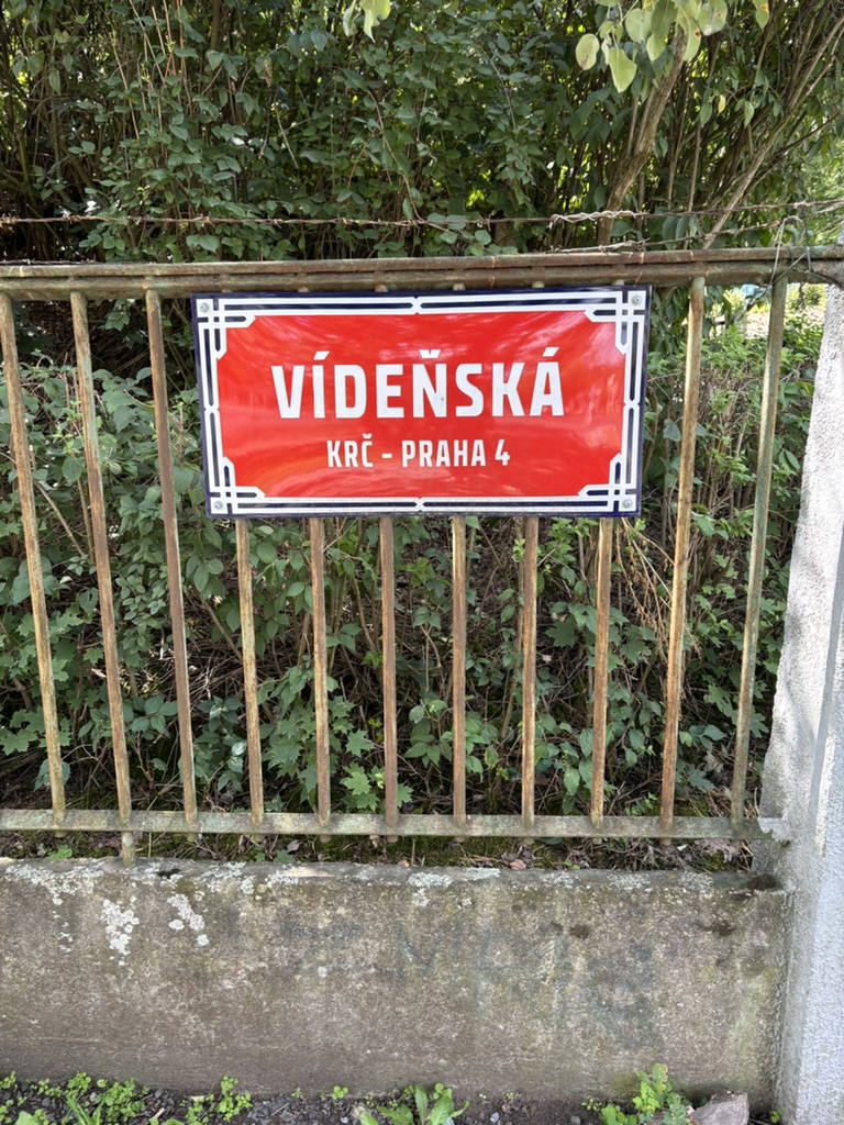
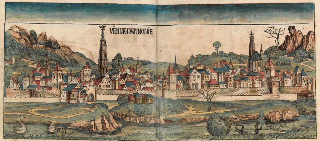
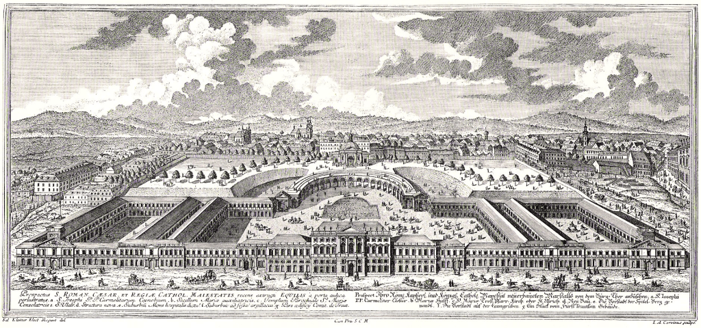
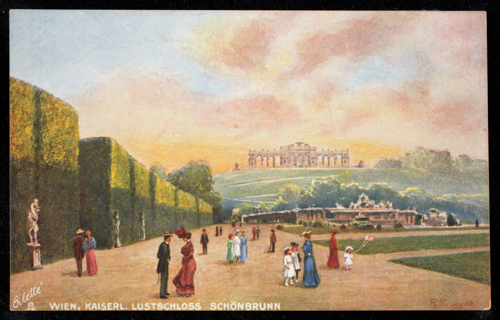
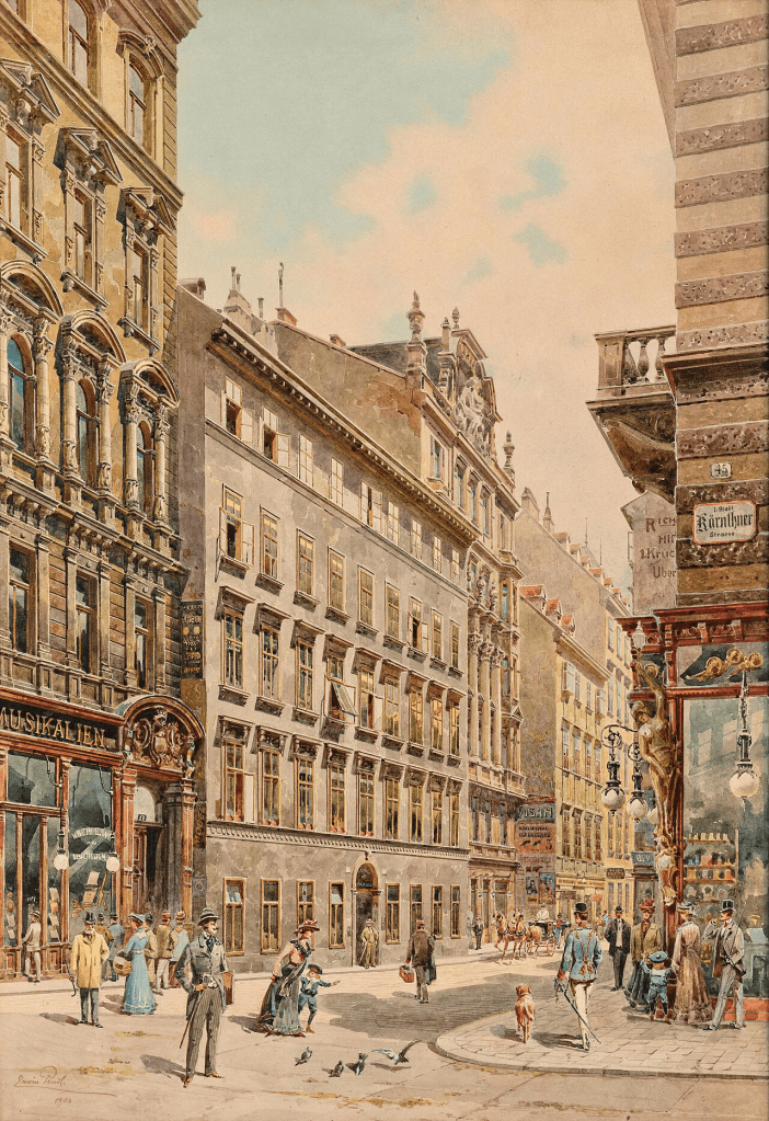
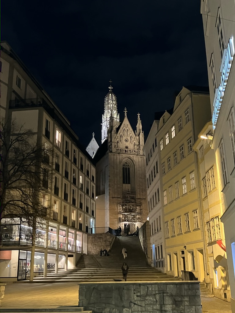
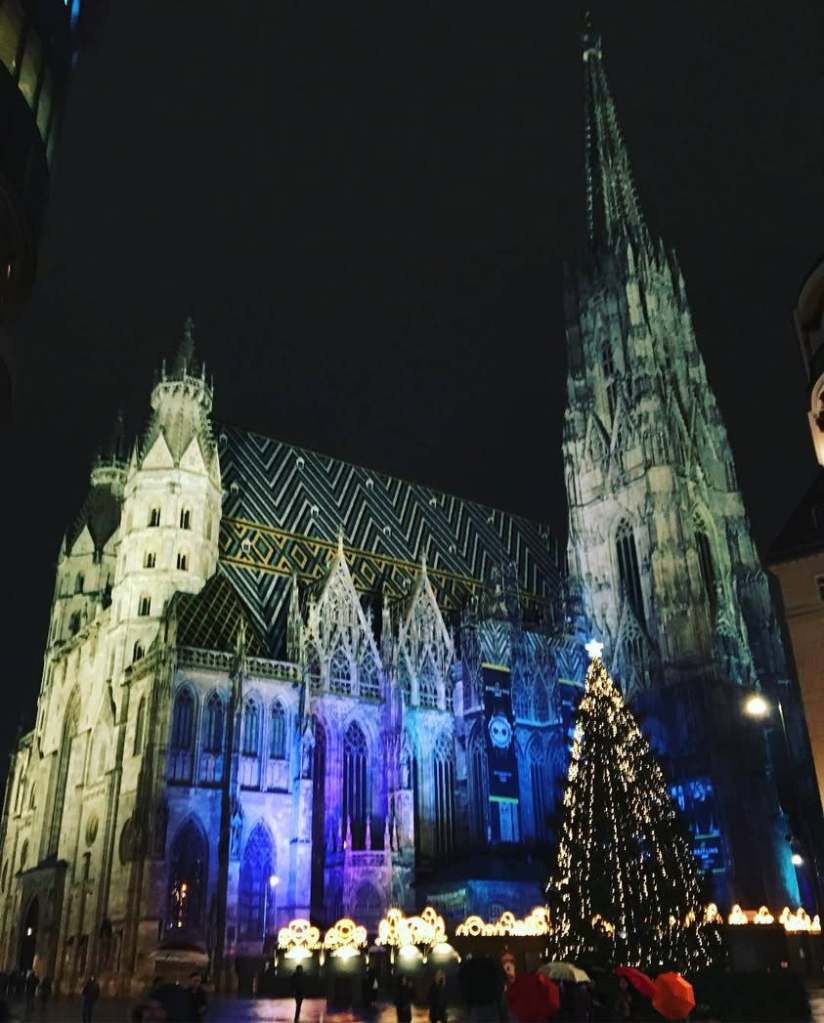
Some believe that the name comes from the Celtic *Vedunia, meaning ‘forest stream’, which may have given its name to the River Wien, which, in turn, became the name of the city built upon it. Vienna is the latinised form of that.
Others point out that the Romans called the settlement here *Vindobona, meaning ‘white settlement’ or ‘place of (somebody called) Vindos’. This would then be the source of the Czech name (which is also similar to the Polish, Slovak and Ukrainian names, Viedeň, Wiedeń, and Відень respectively.
Wieden is also (but concientally) the name of a district of Vienna, fittingly (for this series) the fourth one.
The Hungarian name for Vienna – Bécs, which has found itself into Bosnian/Croatian/Serbian as ‘Beč’ – probably derives from a word for ‘kiln’. Whereas the Slovenians name Vienna after a more famous river than the Wien – they call it ‘Dunaj’.
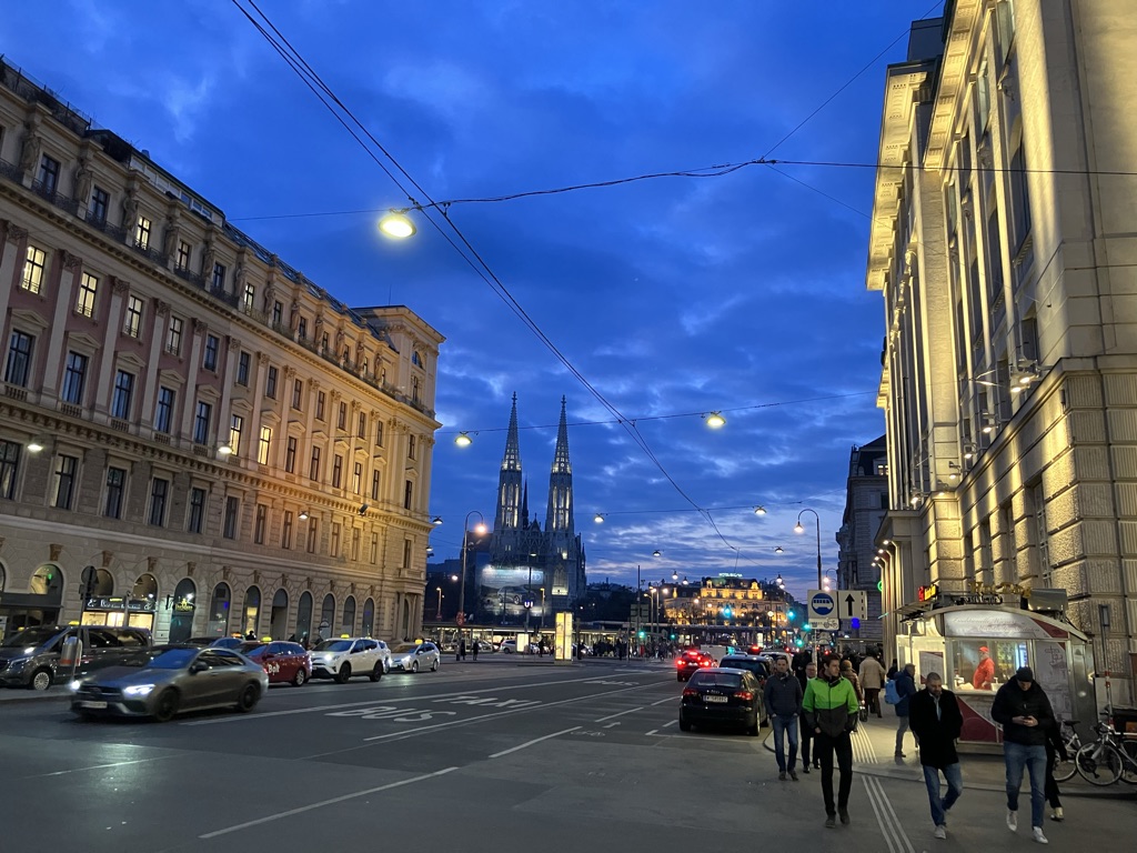
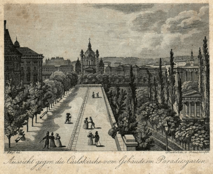
Vienna is 145 km from Austria’s second city, Graz, and 252 km from what is arguably Austria’s second-most famous city, Salzburg. Yet it’s also within 55 km of the borders with Czechia, Hungary and Slovakia.
Vienna then served this role from 1438, but in 1583, Rudolf II moved his court to Prague and collected an awful lot of art. After his death, the court was based in Vienna again.
Vienna also gave students the opportunity to study Czech in 1775 – which is seventeen years before this became an option at the University of Prague.
The reason why Vienna is so big for such a small country (two million people in a country of 9.2 million), and why it is in a less central location than most other capitals is, of course, because, for centuries, it was the capital of something a lot bigger.
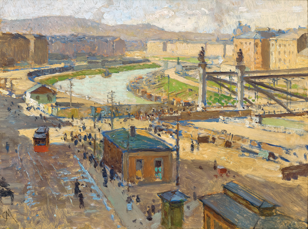
In 1910, its population was actually very slightly higher than it is now, making it the world’s fourth-largest city – and the two million inhabitants included about 250,000 Czechs and Slovaks. Once they had their own country – and a capital city of their own – their numbers declined to about 83,000 (in 1923).
After World War II, Austria was occupied much in the same way that Germany was, but regained its sovereignty in 1955 (along with not having to deal with the stress of being converted into a West Austria and an East Austria).
It became a popular place for businesses to set up shop, particularly those looking to trade with Czechoslovakia, Hungary and Yugoslavia, insofar as this was possible.
It also experience significant number of refugees from Czechoslovakia in 1968, after the Soviet invasion.
Nowadays, there are 20,000 Slovaks and 12,000 Czechs registered in Vienna. Where you feel the Czech and Slovak influence in Vienna’s wonderful, wonderful dialect of German (Wienerisch) is in the kitchen and restaurants.
If you want pancakes, you should ask for Palatschinken, if you want a round pastry, you should ask for Kolatsche, and if you want a jam roll, you can ask for a Buchteln.
Also, Austrians call horseradish Kren, whereas the German-speaking world that isn’t Austria or Bavaria call it Meerrettich. An Austrian friend once admitted she hadn’t realised this, and had just assumed they were subtly different things.
In 2003, I spent several months in Austria as part of my studies, and went to Vienna a few times. I remember thinking how many unusual surnames there were, not realising these were usually Czech or Slovak, much less realising I would end up living in Prague, a city I had never even seen (or planned to) in 2003.
I also wish I could have taken that feeling of turning up at Vienna Hauptbahnhof on a Friday night with no smartphone, no knowledge of where to go, no plans other than buying too many books and CDs at the first opportunity, and nothing but excitement, and put it in a bottle.
I have precious few photos with me right now despite having gone to Vienna multiple times since (they’re all on other devices); I think I may have an excuse to go back now. And, of course, you’re never too far away from a Czech reference.
Part of it was called Gottwaldov in the 50s and 60s (Klement Gottwald being the not-so fondly remembered first Communist leader of Czechoslovakia, who died five days after attending Stalin’s funeral).
On which: elections may mean that an unpleasantly high risk of seeing pictures of and quotes from Babiš and Okamura and Macinka and Turek whenever you look at your screen, but I’m glad people here are allowed to take part in them.
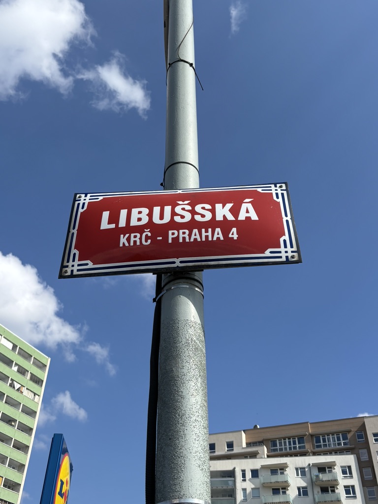
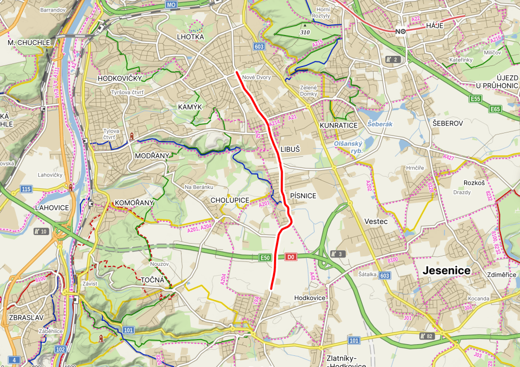
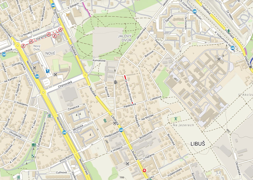
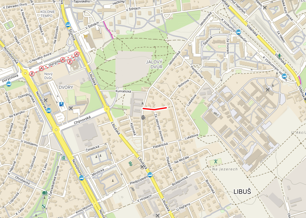
While legend has it that Libuše was the site of a goose farm around the same time that said legends want us to believe Libuše herself existed, there are no written mentions that we know of until 1321, when it was captured by burghers of Prague’s Old Town.
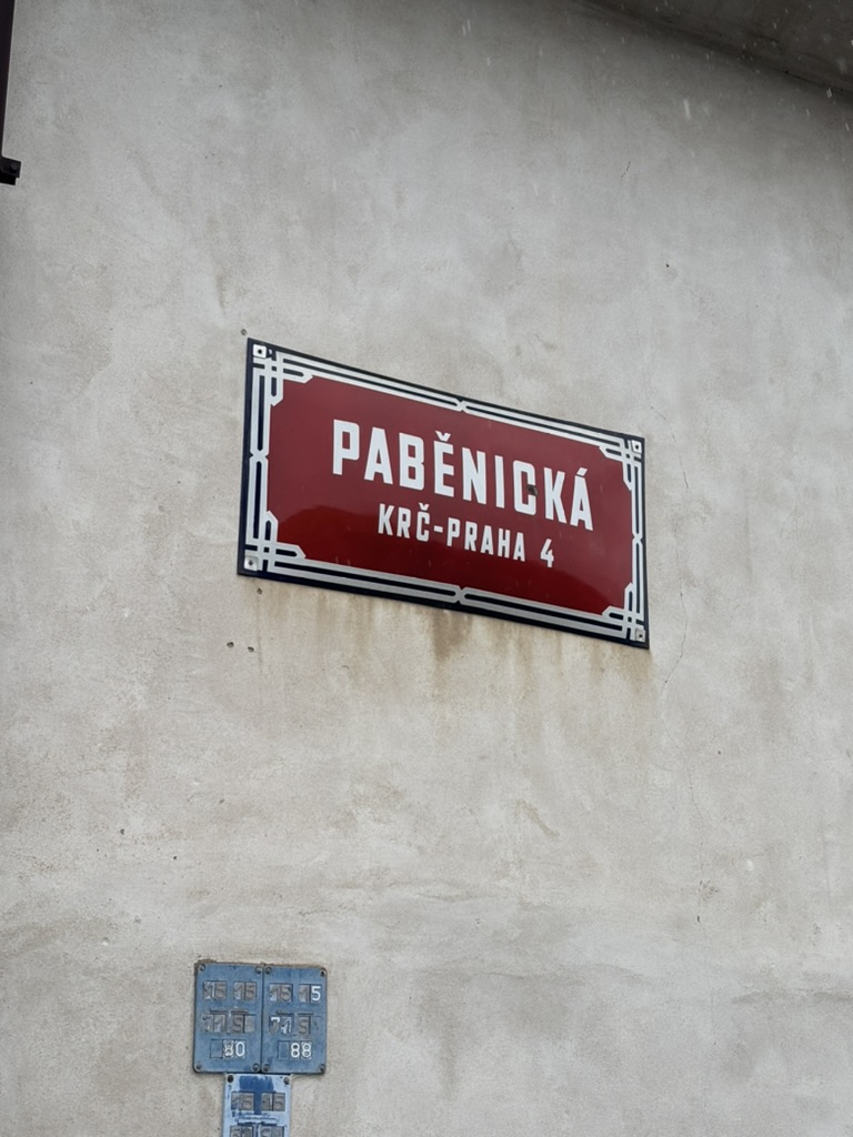
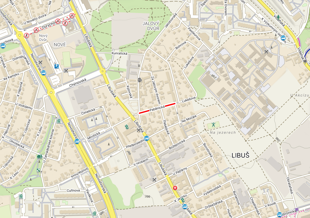
This fire was so bad that it would be 147 years before Paběnice was mentioned in writing again.
By 1786; Paběnice had five cottages; by 1843, it had thirteen houses, and 78 inhabitants. Eventually – in 1968 – it would be joined to Prague, as part of Kunratice.
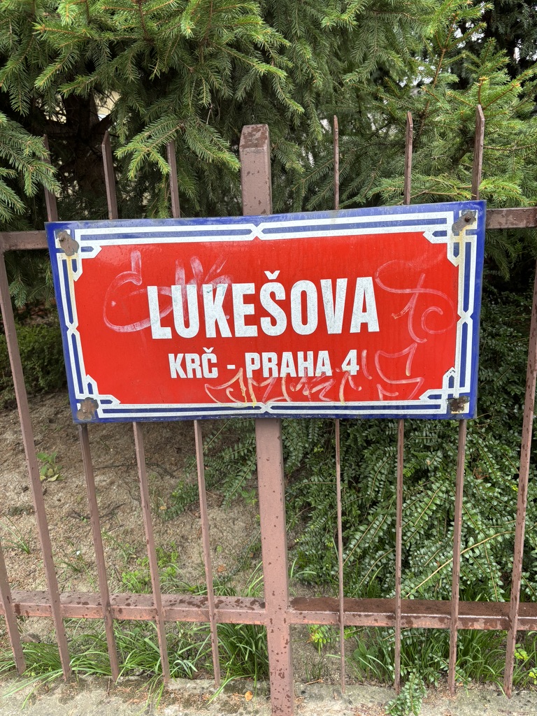
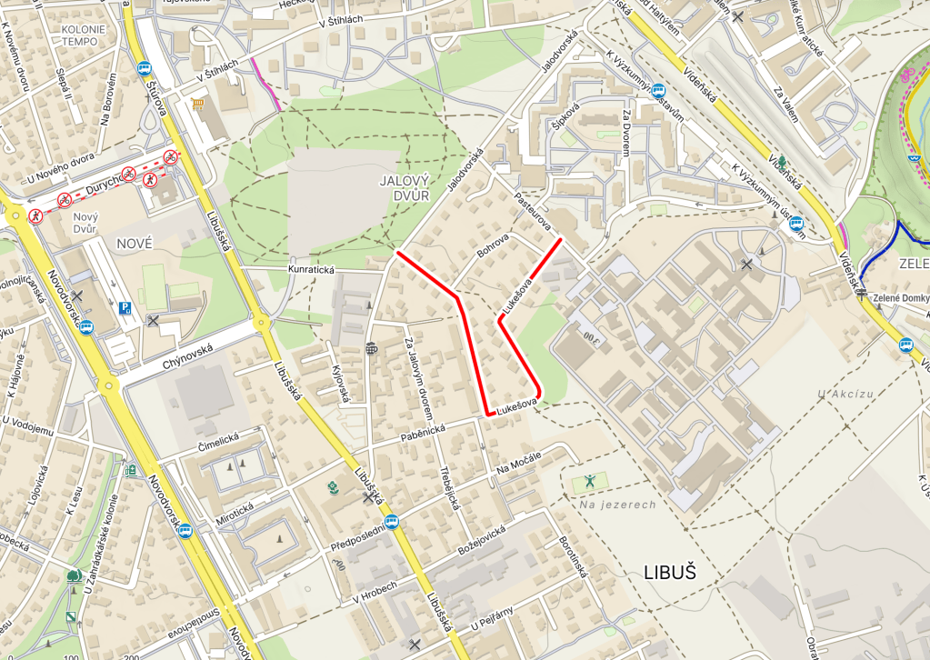
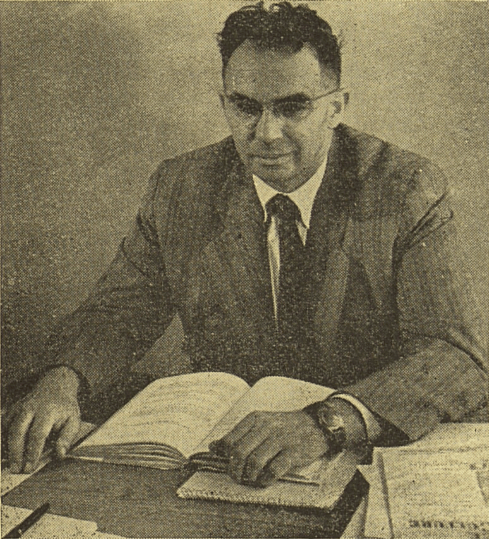
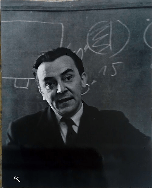
Rudolf Lukeš was born in Kralupy nad Vltavou in 1897. His family moved to Prague in 1906, and Rudolf eventually went to secondary school in Karlín, where he excelled in natural sciences.
After graduating in 1914, he started studying at the Department of Technical Chemistry at the Technical University in Prague – but, 1914 being 1914, he was soon called up to serve in World War I.
He was sent to Italy, where he made the best of a bad situation, learning Italian and studying organic chemistry in his free time.
Graduating from university with honours in 1922, Lukeš would become a lecturer at the Technical University, and was also appointed associate professor at the Faculty of Science of Charles University in 1933.
However, the Nazis forced the closure of Czech universities in 1939. Lukeš survived the war, writing a textbook on chemistry and working at the Association for Chemical and Metallurgical Production in Vysočany.
Once Czech academia was allowed again, Lukeš worked at the Institute of Organic Chemistry and Biochemistry of the Academy of Sciences; in 1946, he was appointed an academician, and, in 1952, a special laboratory was opened up for his experiments.
However, those in power continued to affect his work – in 1958, several of his colleagues were fired due to a witch hunt against those working in universities. Lukeš remained, but his health deteriorated.
He was seen as a popular, engaging lecturer, and the two textbooks that he got published (the third didn’t make it that far) were acclaimed.
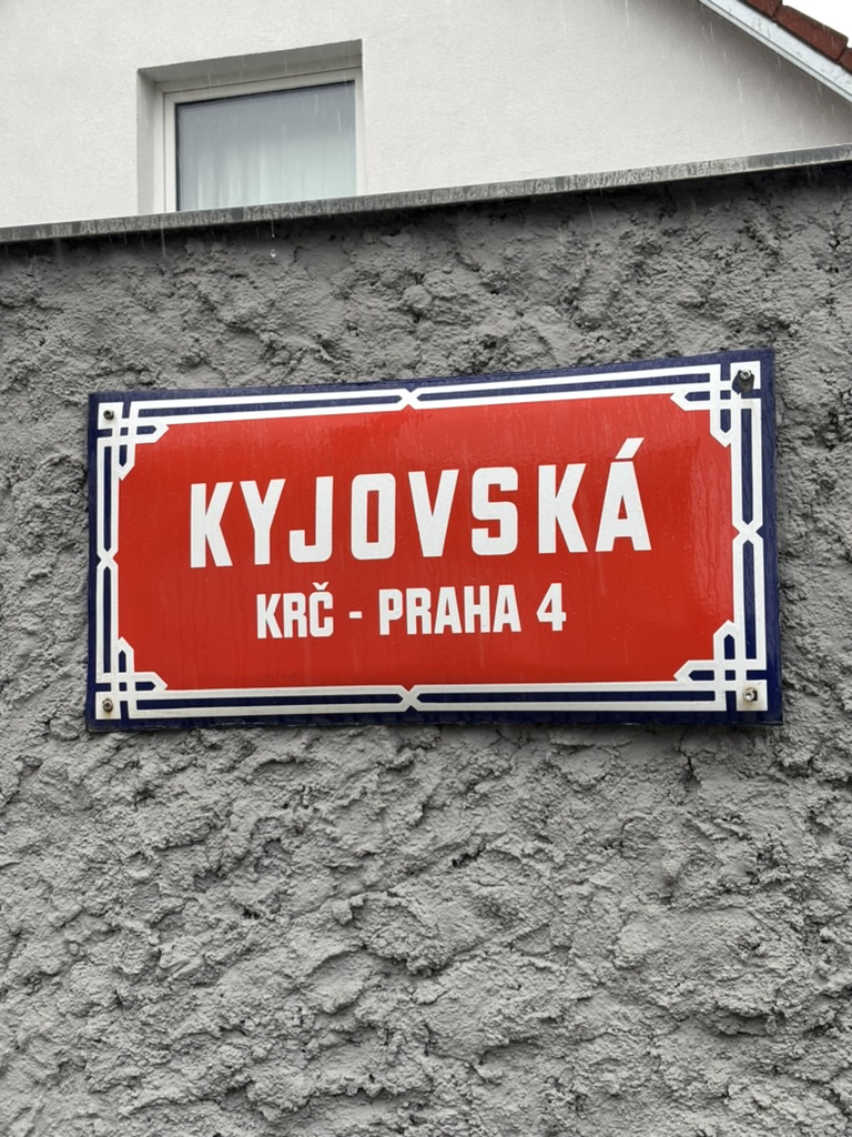
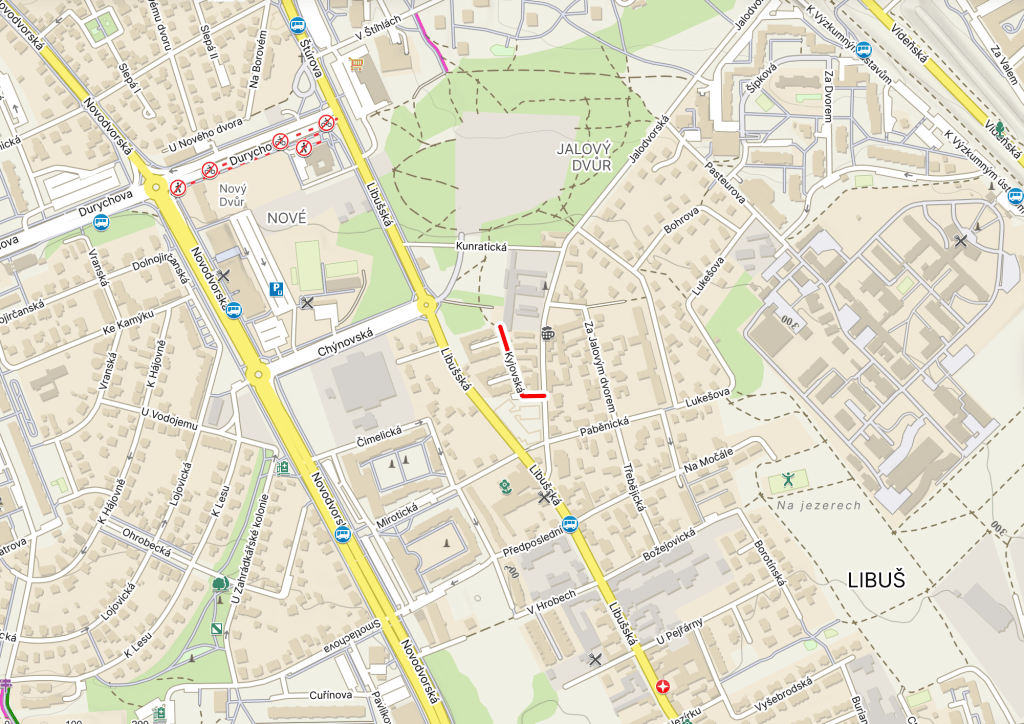
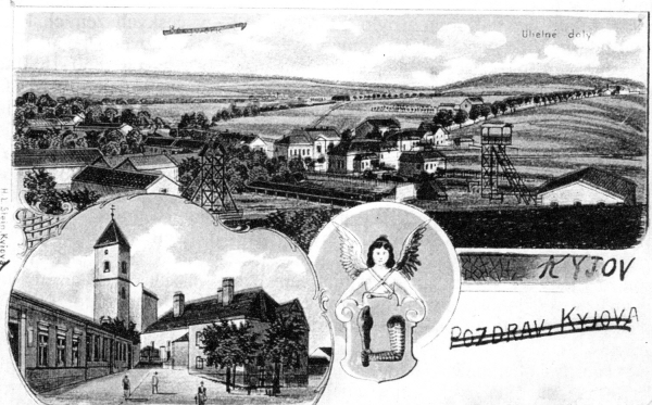
Kyjov is a town of about 11,000 people in South Moravia, more precisely in Hodonín District.
The earliest written mention we have is from 1126, when it was gifted to Hradisko Monastery (near Olomouc). The monastery soon fell into the hands of the Premonstratensians, and therefore Kyjov did too until at least the 1380s.
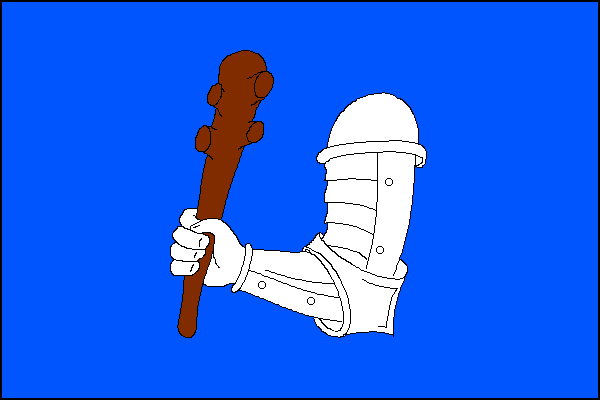
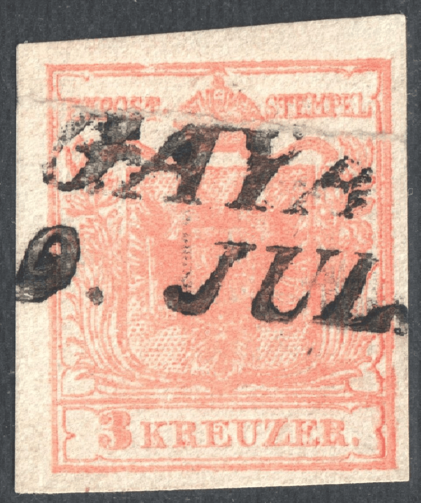
Its name is either derived from a possible one-time owner called Kyj, or from its location in a forest (forests contain trees, which you can use to make clubs, or ‘kyje’). ‘Kyj’ might have been pronounced ‘Kaj’ in local dialect, hence the town’s German name being Geyen, later Gaya (stamp from 1854).
Which will explain why, in 1431, Austrian Margrave Albert II of Habsburg captured it and allegedly had about fifty of its inhabitants killed.
The monastery sold Kyjov in 1539; in 1548, following local dissatisfaction with another change of ownership, Vienna promised Kyjov would be placed under direct imperial administration (which also did its economy quite a lot of good).
Its development was impacted in 1605, though, when it was looted and burned by forces of the Transylvanian Prince Stephen Bocskai. Things didn’t get better in 1619 (when Kyjov fell during the Bohemian Revolt) or 1623 (when it was invaded by Gábor Bethlen’s army). *And* it burned down in 1638.
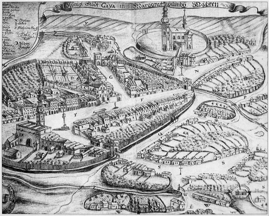
Kyjov started to flourish again in the 1700s (the picture is the town in 1727), when it was developed by a group of Capuchin friars (they built a new parish church and monastery – still standing – while, in 1760, the Piarists added a Latin grammar school).
Industrial development came to Kyjov in 1844 with the opening of lignite mines; it also had a glassworks from 1858 to 1878, and, following a fire and rebuilding, from 1883.
Kyjov is part of Slovácko, or ‘Moravian Slovakia’; people in the region speak a dialect which forms a transition between Czech and Slovak. Slovácko is known for its music, folklore, costumes and – yes – wine.
All of these are on show at the Slovácky rok festival, which is held every four years. But the next one is in three years and ten months. Sorry (I am genuinely quite sorry). https://www.kudyznudy.cz/akce/slovacky-rok-v-kyjove-1
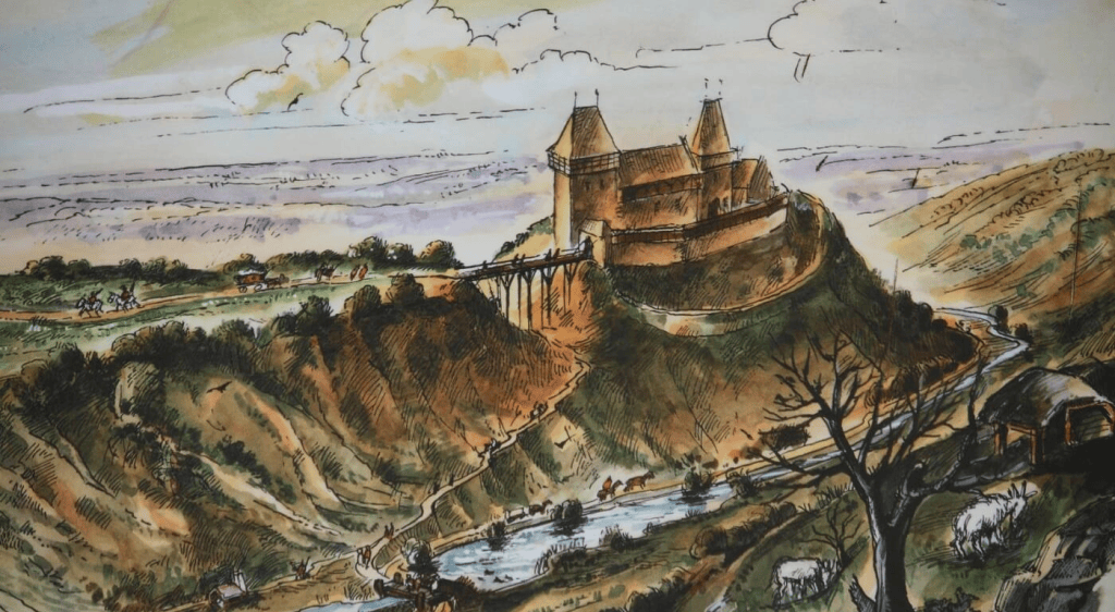
It must have been constructed pretty quickly, especially by 21st-century Prague standards, as there’s a record of his staying there in 1412.
But it also seems he liked it so much there that he gladly stayed there when it wasn’t even finished yet. I stayed in a mid-construction hotel in Romania in 1999 for almost three weeks and had absolutely no complaints, so no judgement from my side.
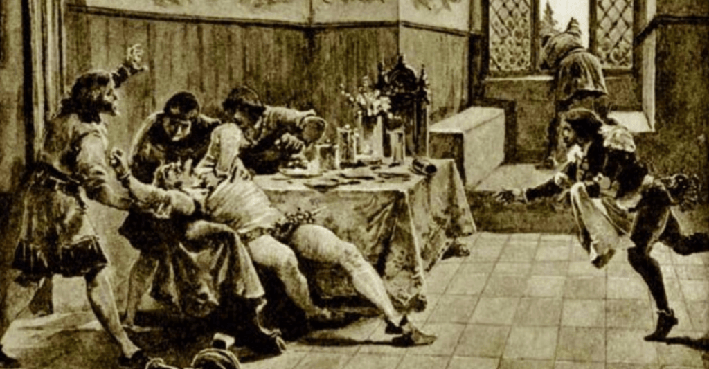
He reacted with rage; his body reacted with a stroke, and he died at the castle on 16 August (the medical cause is not agreed on).
The castle didn’t survive much longer than Václav did – the people of Prague besieged it in December 1420, and burned it down in January 1421.
While various buildings destroyed in the Hussite Wars (and in later acts or disasters) were rebuilt, nobody ever seemed that bothered to do so to Nový Hrad.
There was a good deal of excavation of the surviving castle ruins in 2012-3, and they’re accessible to the public. The former castle is also part of the scene for the Velká kunratická cross-country race, and apparently the most challenging section.
In 1407, King Wenceslas IV purchased the village; in 1421, King Sigismund assigned it to his courtier. It then passed through various owners, with its stronghold being restored in 1549. The stronghold, in turn, was upgraded to a chateau in 1688.
In 1728, the owner of the chateau, Jan Arnošt of Golč, also purchased three neighbouring villages: Šeberov, Hrnčíře, and Chodov. Based on a personal recommendation, Empress Maria Theresa visited the estate in 1754.
Eventually, Kunratice became a separate municipality, Kunratice u Prahy; in 1968, when it was joined to Prague, the ‘u Prahy’ was, of course, dropped.
The protests were successful, and the plans for building further residences were shelved. That said, Kunratice has changed significantly in recent years – its population trebled between 2005 and 2015.
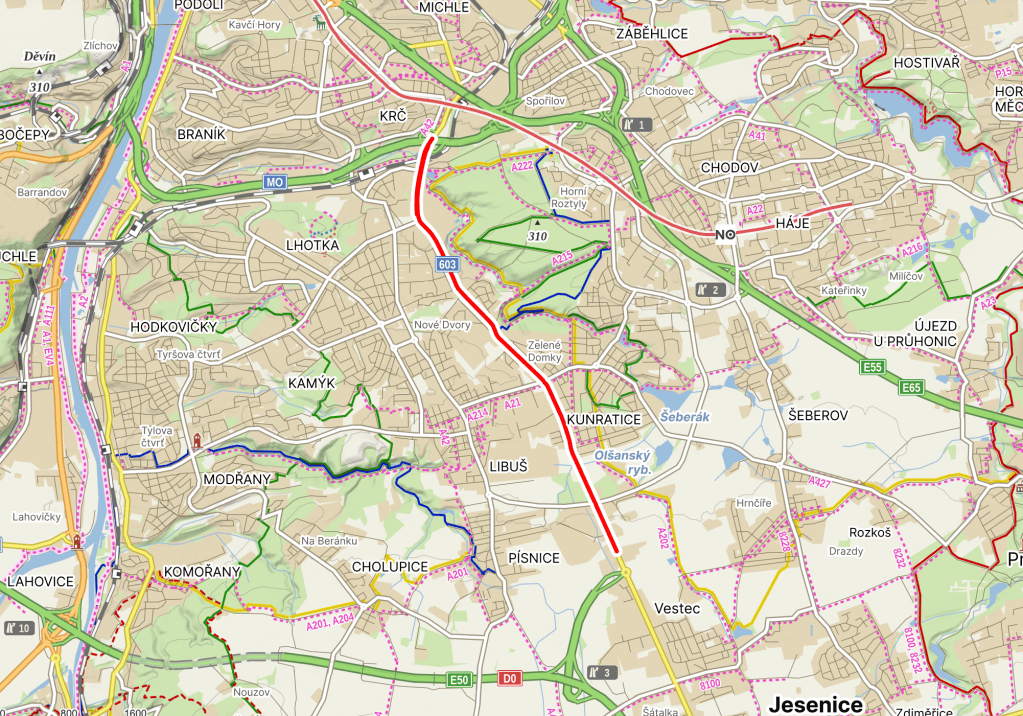
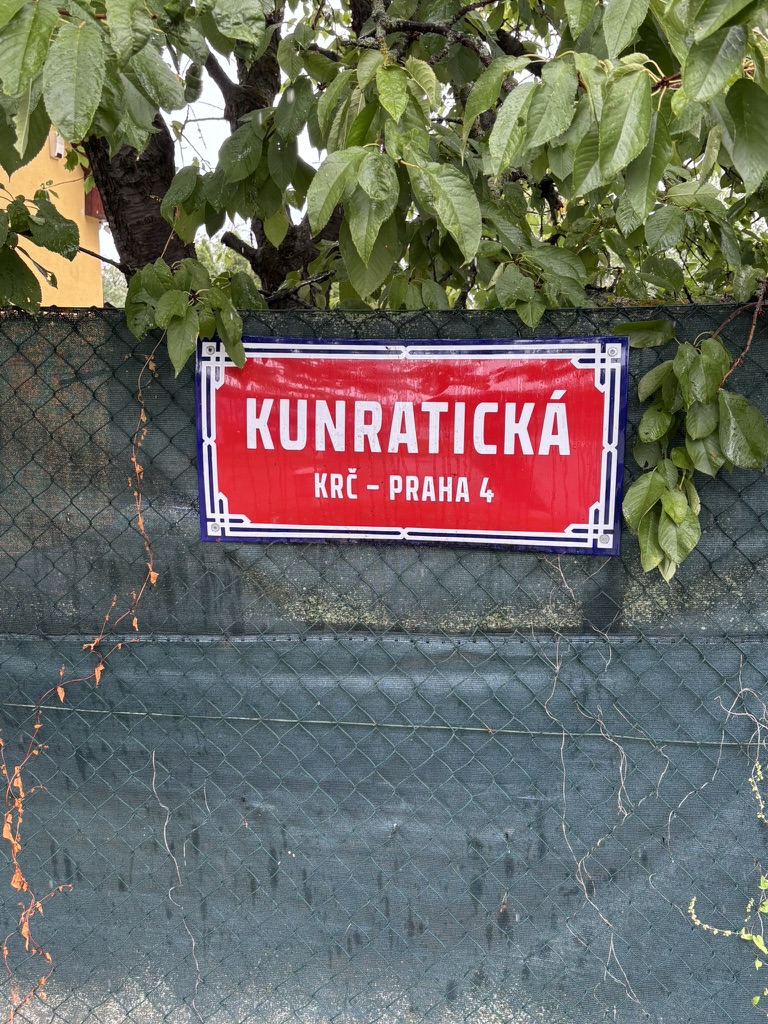
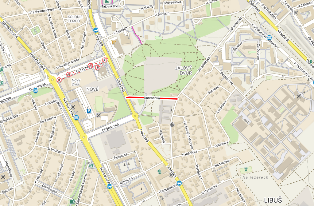
Kunratice is not in the Prague 4 Municipal District (Městská část Praha 4, which we’ve been covering for the last 461 posts); however, it is in the Prague 4 district (okres), which also includes parts of the Municipal Districts of Prague 11, Prague 12 and Libuš, as well as all of Šeberov and Újezd.
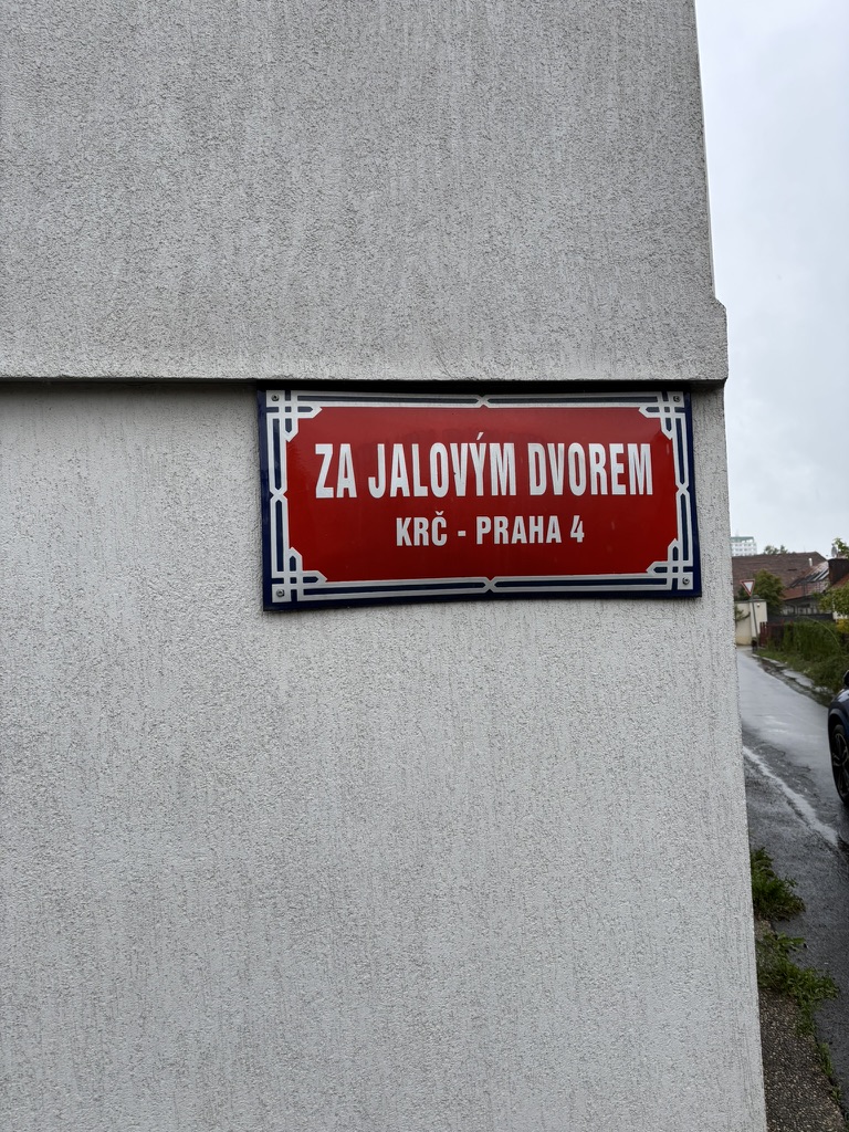
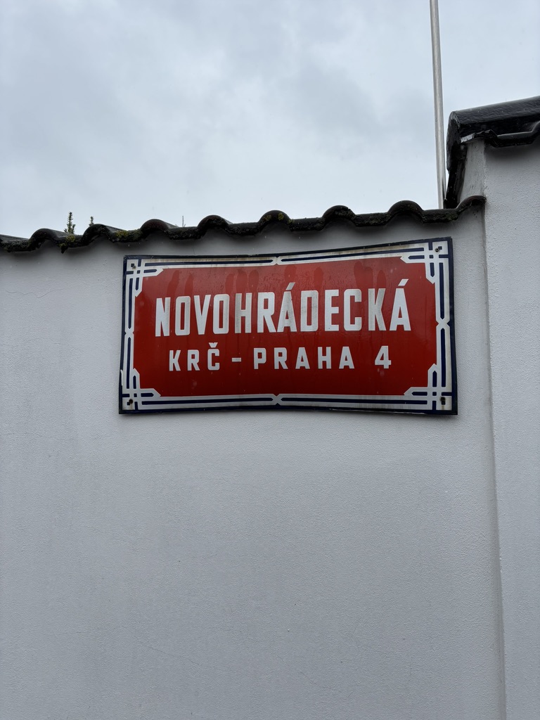
And, on maps, Praha-Kunratice is called exactly that, with no numbers. Except all of the places listed in the previous paragraph have street signs which *do* say Prague 4 (not 11, 12, Kunratice or whatever).
I had been putting off trying to explain this for as long as possible, but am glad it’s done now.
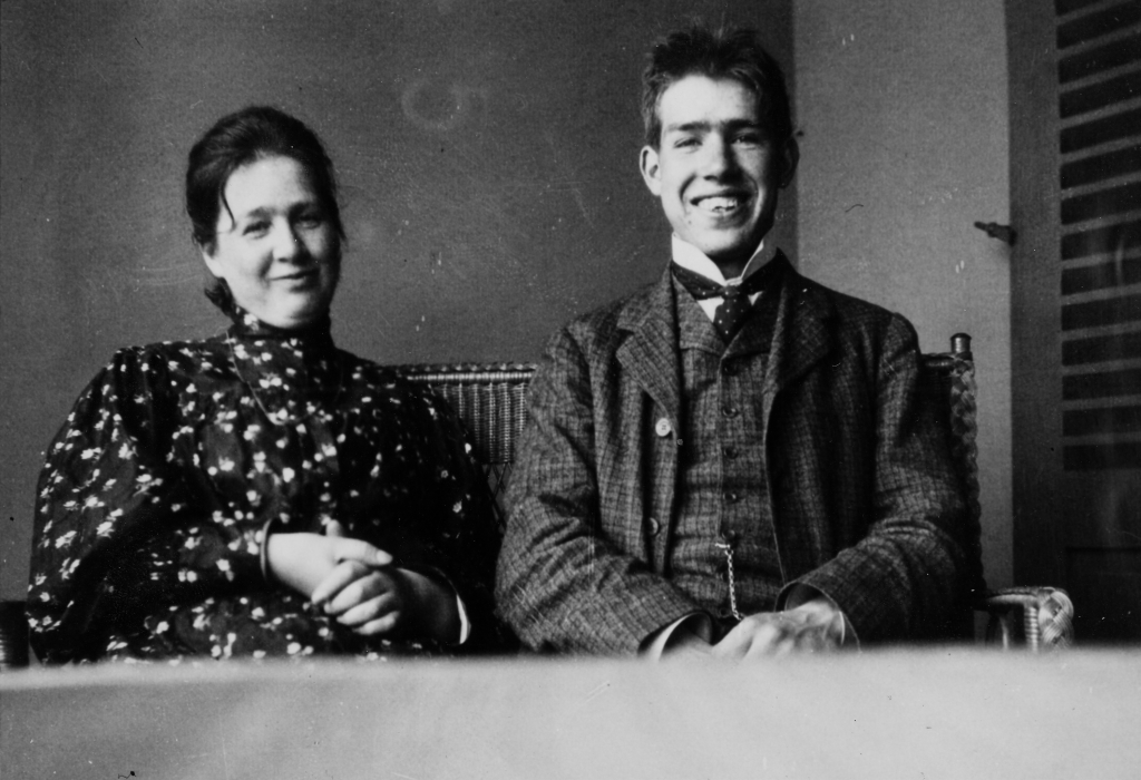
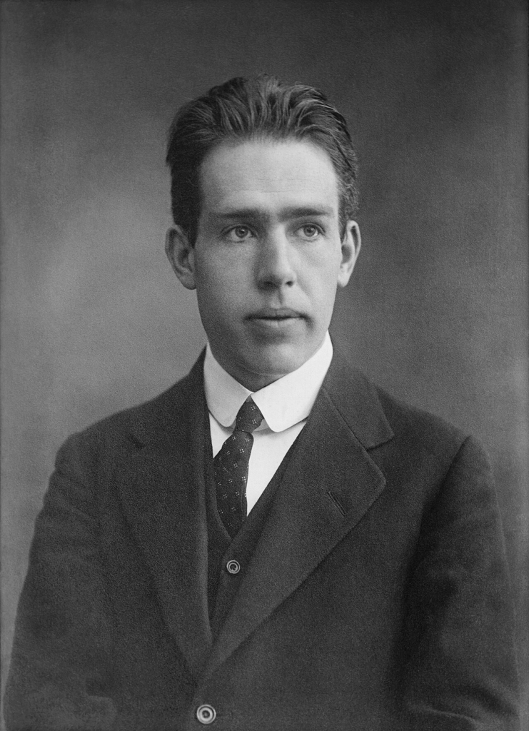
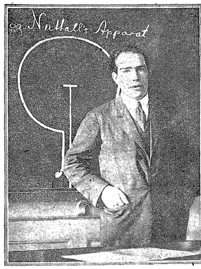
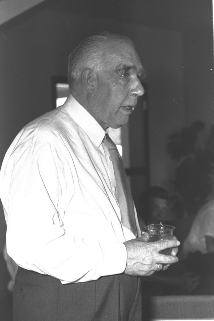
Niels Bohr was born in Copenhagen in 1882. His father, Christian Bohr, was Professor of Physiology at the University of Copenhagen; his mother, Ellen Adler Bohr (pictured with Niels), came from a prominent Jewish family.
As a child, he was a passionate footballer, along with his brother, Harald, who would play for the Danish team at the 1908 Olympics.
Bohr studied physics, astronomy and mathematics at the University of Copenhagen; he earned his doctorate (with his dissertation, ‘Studies on the Electron Theory of Metals’) in 1912.
He then conducted experiments at the Universities of Cambridge and Manchester, working, at the latter, under Ernest Rutherford. Bohr published his model of atomic structure – later known as the Bohr model – in 1913.
Bohr also theorised that an electron could drop from a higher-energy to a lower-energy orbit, emitting a quantum of light (or a photon) in the process. This became the basis for quantum theory.
In 1916, he started teaching at the University of Copenhagen; following years of fundraising, a separate institute for theoretical physics was opened in 1921. In 1965, it would be renamed the Niels Bohr Institute.
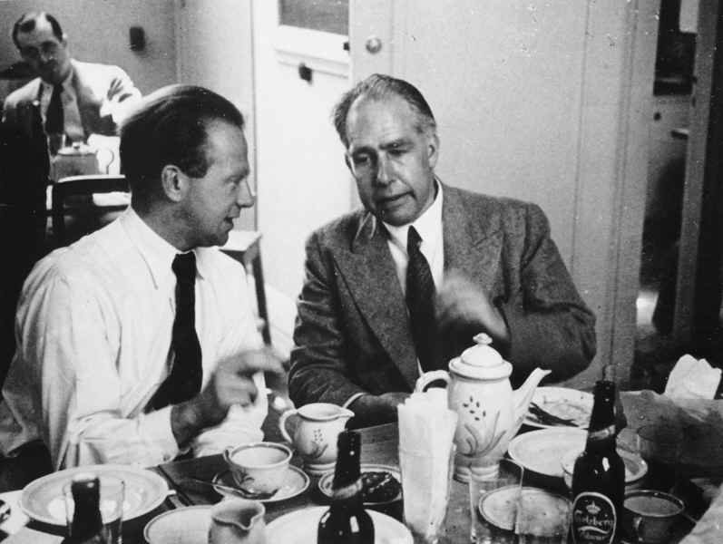
The Institute meant Denmark could now welcome researchers from all over the world – the ‘Copenhagen School’ became a hotbed of innovation in theoretical physics. Those who visited and worked there included Erwin Schrödinger and Werner Heisenberg (pictured with Bohr).
In 1922, Bohr won the Nobel Prize in Physics for his contributions to understanding quantum theory and atomic structure.
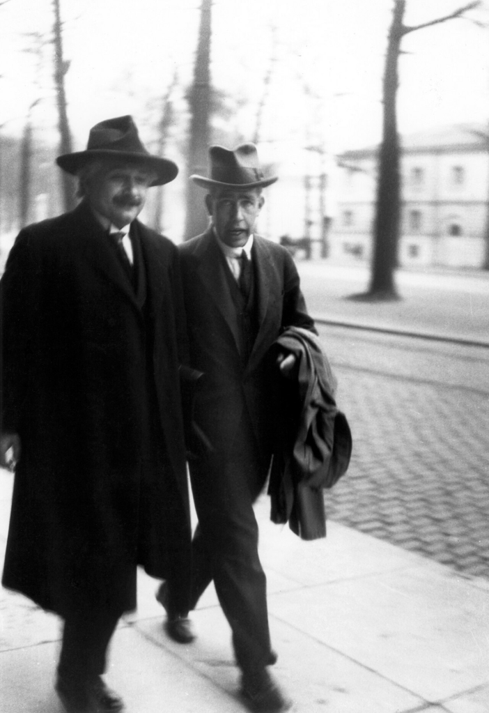
This is Bohr in Brussels in 1930, with Albert Einstein.
Following 1933, when the Nazis seized power in Germany, Bohr helped various scientists escape that country. When the Nazis invaded Denmark in 1940, he initially decided to stay, but escaped to Sweden in 1943 upon hearing he was about to be arrested.
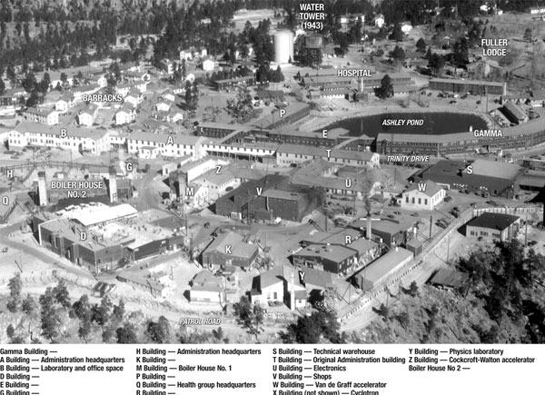
From there, he went to the UK, where he was informed of the Manhattan Project and its plans to develop nuclear weapons. Little more than two months after he had left Denmark, he and his son, Aage, were in Los Alamos, New Mexico.
That was the location of the Los Alamos Laboratory, which designed nuclear bombs and was run by one J. Robert Oppenheimer.
After World War II, Bohr became a passionate advocate for peaceful use of atomic energy, détente between nations, and information-sharing between nations about their nuclear knowledge and capacities.
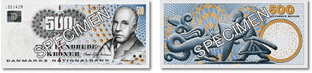
Bohr died of a heart attack in Copenhagen in 1962; a year later, two stamps were issued with his likeness to commemorate fifty years of the Bohr model. In 1997, the 500-krone note was issued, showing him smoking a pipe.
In 1981, the GSI Helmholtz Centre for Heavy Ion Research in Darmstadt discovered a new element; this was named bohrium.
And yes, Bohr was in 2023’s Oppenheimer, played by Kenneth Branagh (Bohr was never referred to directly in Breaking Bad, though).
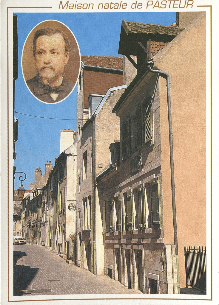
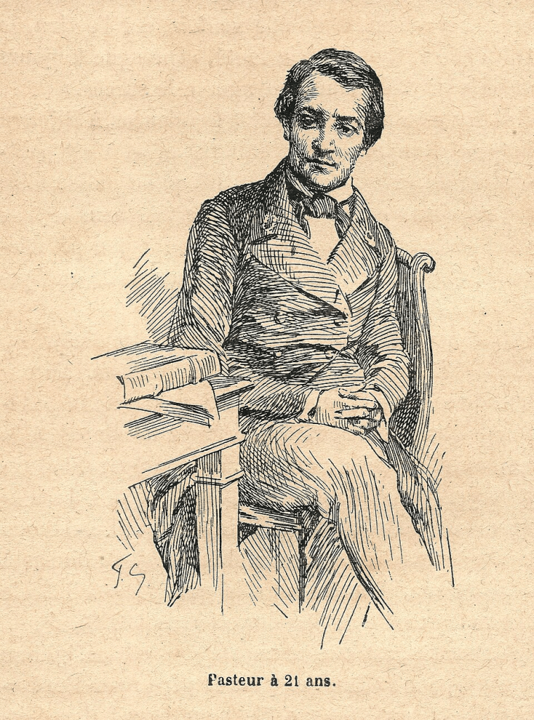
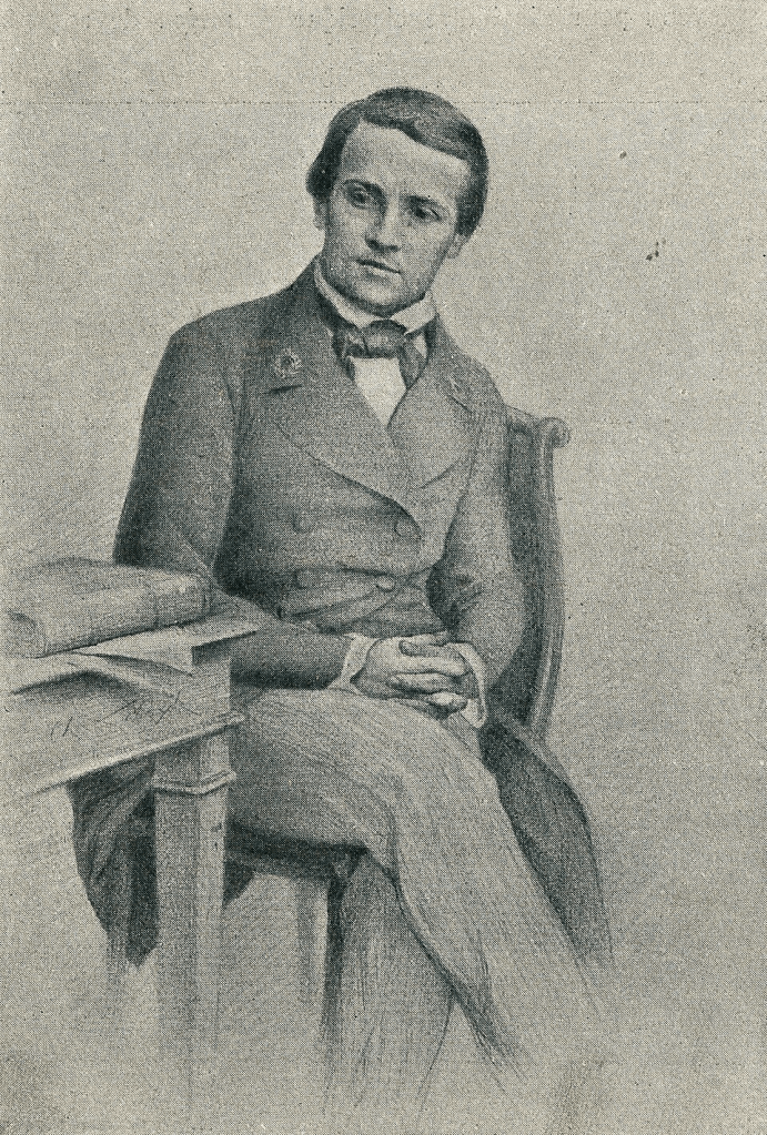
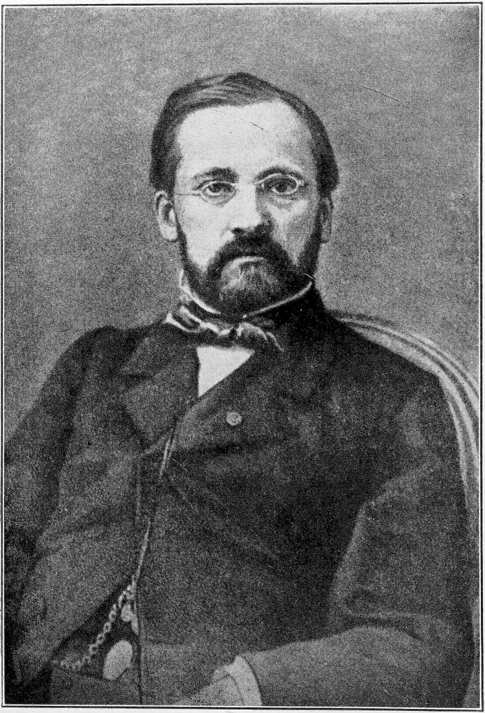
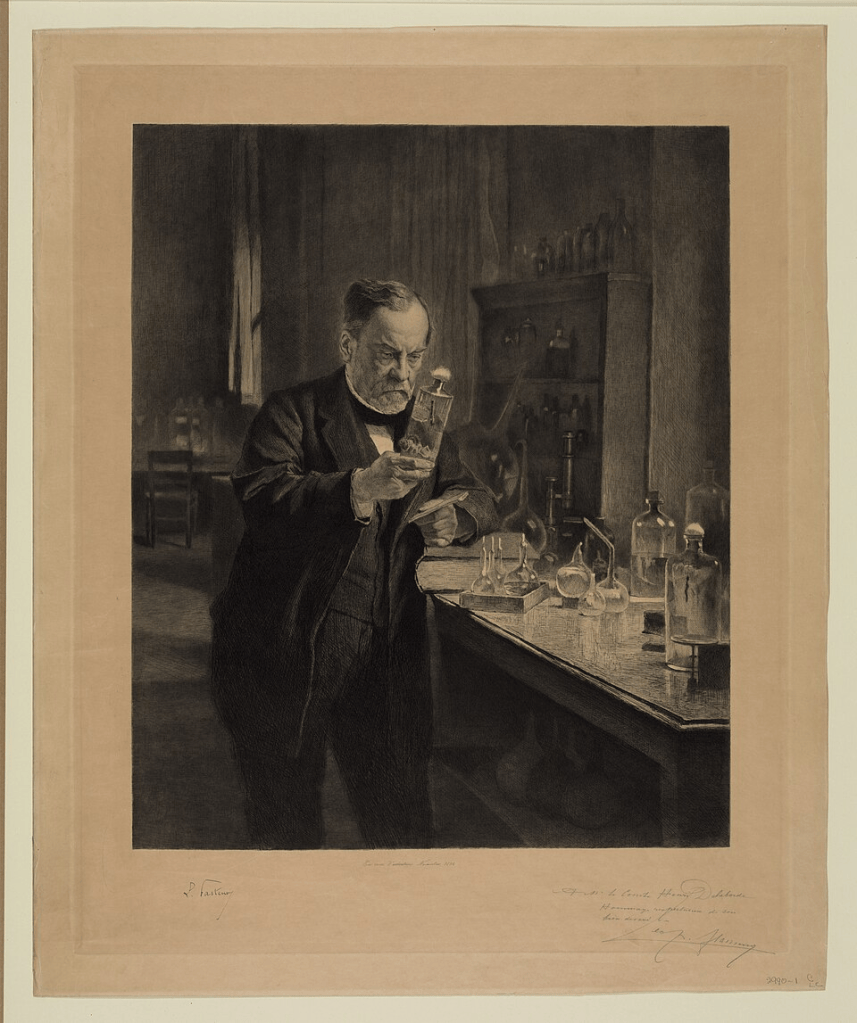
In his early years, he was a better artist than he was student, and created many portraits of family members and residents of Arbois, where he was brought up.
In 1842, Pasteur entered the École normale supérieure, where he studied chemistry, physics, and crystallography. He defended his thesis in 1847, and, from 1848 to 1853, worked as a professor in Strasbourg.
Then, in 1854, he became professor of chemistry and dean of the (newly-founded) Faculty of Science at the University of Lille, where he focused on fermentation.
His work between 1854 and 1857 in Lille led to presentation of his paper ‘On the fermentation known as lactic fermentation’ to the Society of Sciences, Agriculture, and Arts of Lille. He was put in charge of academic affairs back at the École Normale Supérieure in the same year.
In 1862, Pasteur was elected to the Mineralogy Section of the Academy of Sciences; in 1865, he was appointed to a commission that researched the etiology of cholera and how to combat it.
In 1865, he also started research into silkworm diseases, as requested by Napoleon III. This made several discoveries, but failed to turn around the decline of the silk industry.
In 1867, Pasteur resigned from his role at the ENS, as he was a supporter of Napoleon III, and the students were mainly Republicans. He was subsequently appointed to a chair at the Sorbonne.
However, his support of Napoleon III cost him in 1870, as he lost the support of the Court. Pasteur turned to business, filing two patents for beer production in 1871 and 1873 (and also had an unsuccessful run for the Senate in 1876).
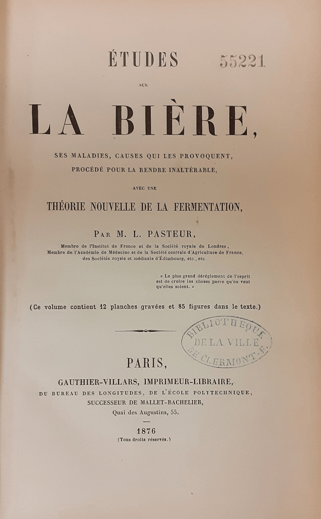
The pinnacle of his fermentation research was a book, ‘Études sur la bière‘. In 1877, Pasteur began attempts to develop vaccine against anthrax in sheep; this was ultimately achieved in 1881.
In 1882, he was admitted to the Académie française; in 1883, he received the Mérite agricole for his works on fermentation.
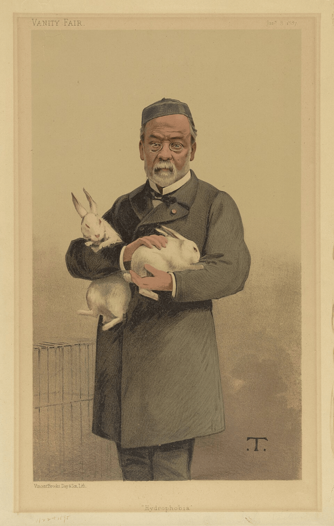
But even at this point, he hadn’t reache the pinnacle of his career: that would come in 1885, when he discovered the rabies vaccine. The Pasteur Institute, dedicated to treating rabies, was founded in 1888.
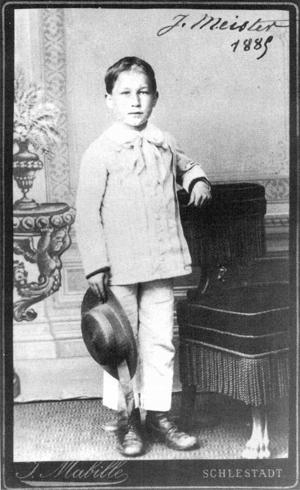
This is Joseph Meister, allegedly the first person to receive the vaccine.
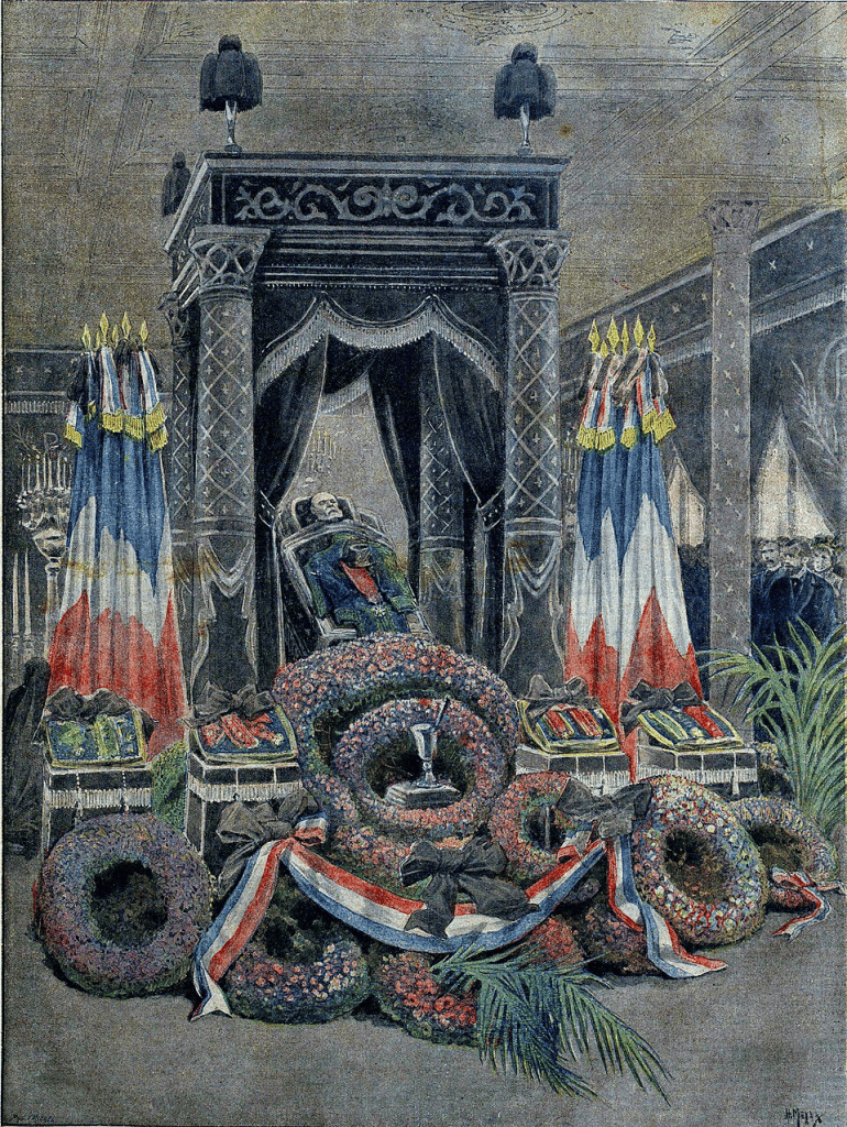
Pasteur’s 70th birthday was marked by a jubilee organised by the Third Republic; he died in 1895. His body was originally placed in a vault at Notre-Dame; in 1896, it was moved to the Pasteur Institute.
In France, there are 3,300 roads named after Pasteur; only de Gaulle has more. There are also 300+ schools.
For those keeping count (nobody is keeping count), there are ten streets to go before we move on to Michle. And all of Michle and part of Záběhlice to get through between Smíchov, Prague 5, and me being very happy about being able to get to places on a single tram again.
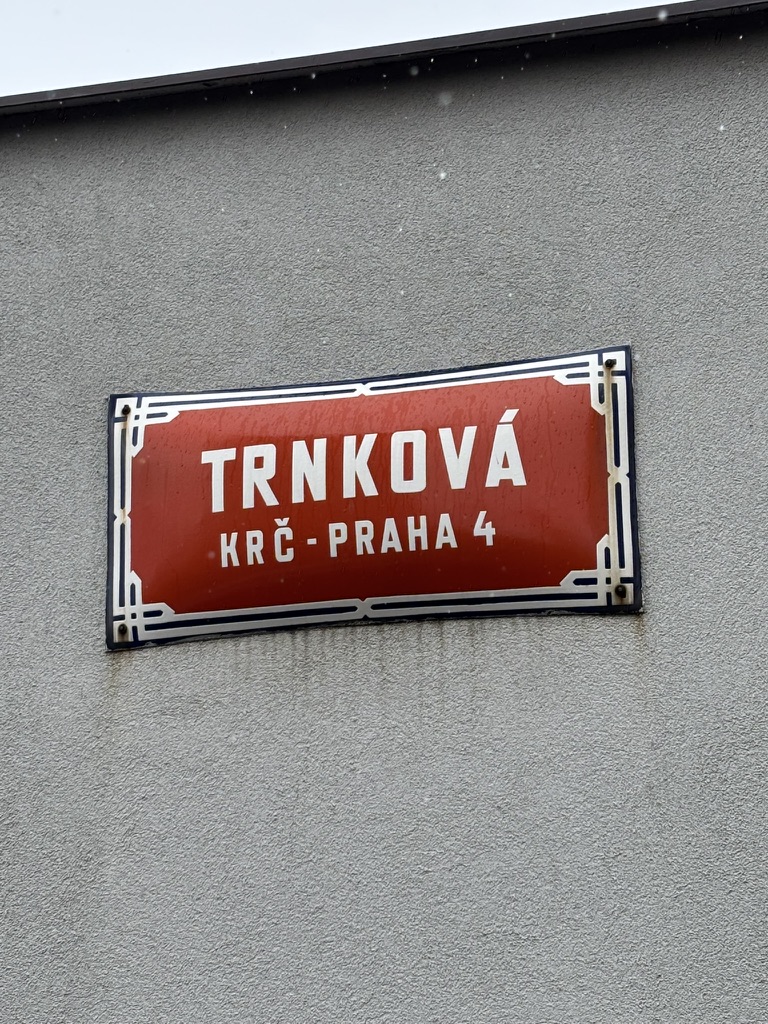
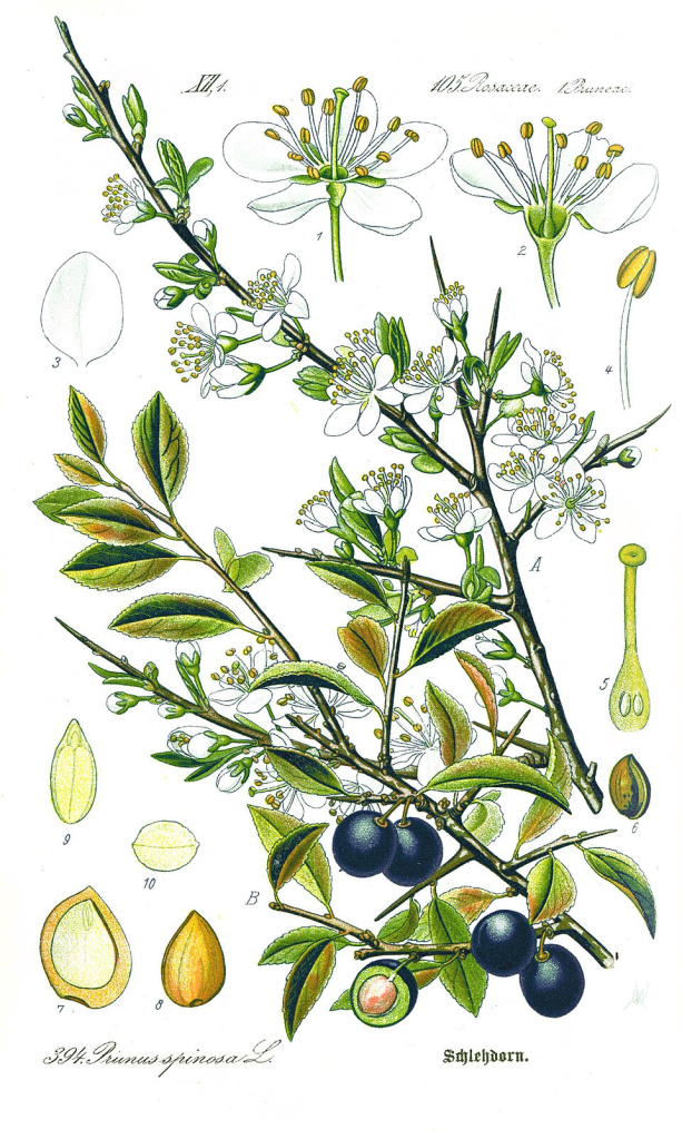
We’re back in the rose family today: ‘trnka’ is blackthorn, or sloe (Prunus spinosa).
Here in Czechia, their white, five-petalled flowers typically appear in late March or early April. These then bear black-blue fruit which ripen in October or November, and stay on the flower all winter.
Hence the phrase ‘blackthorn winter’ to refer to a particularly cold season.
Blackthorn fruits are used to flavour liqueurs – think sole gin, or the the Basque patxaran – and jams. They also have a diuretic effect, making them a useful medicinal plant.
And the wood from the plants is used to make walking sticks, such as the Irish shillelagh.
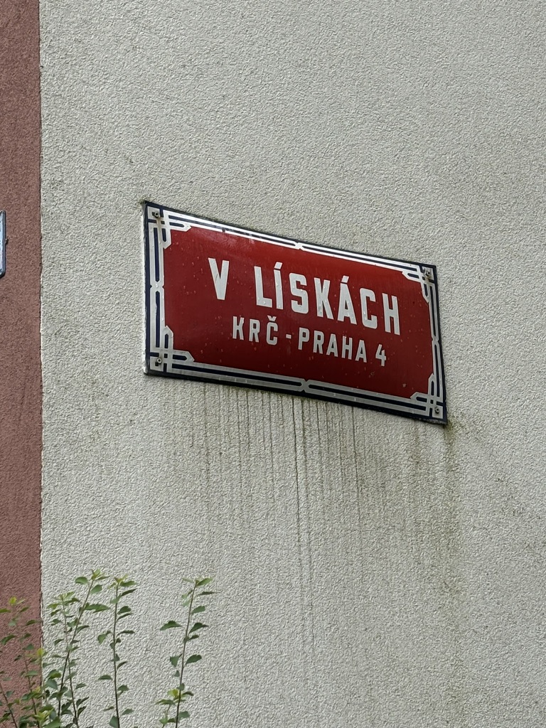
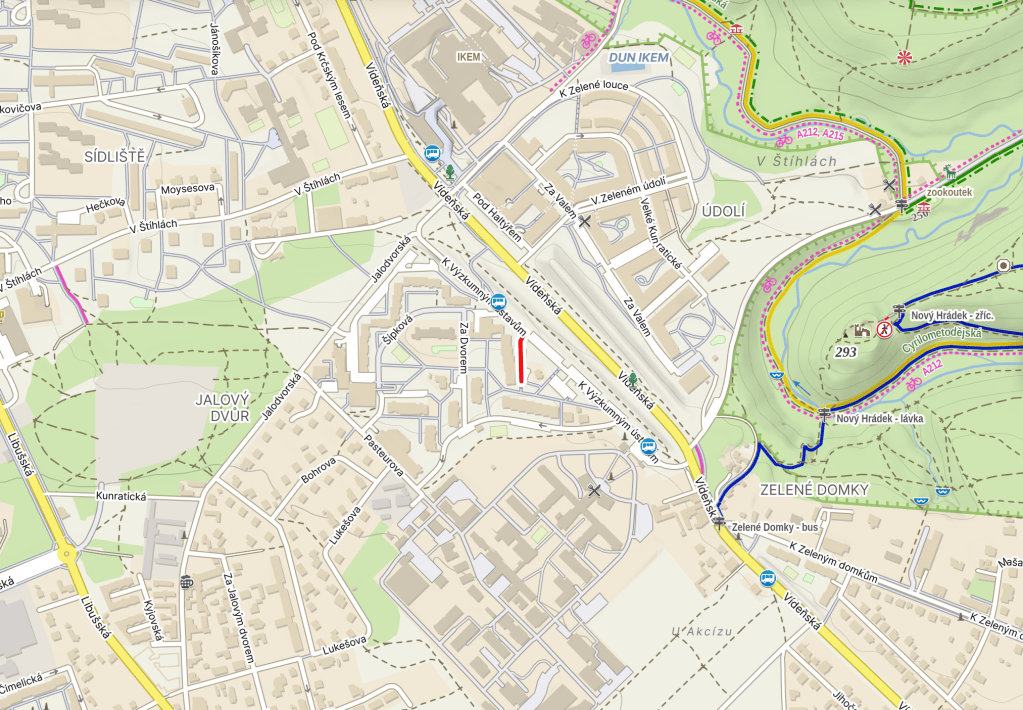
A ‘líska’ is a hazel tree – a tree so useful that it’s apparently known as ‘the Swiss Army knife of plants’ – and presumably the vegetation around here used to have a lot of them. Hazel trees, not Swiss Army knives.
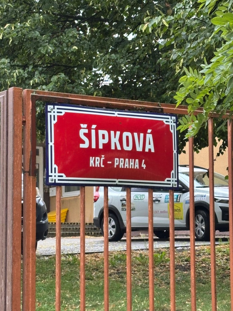
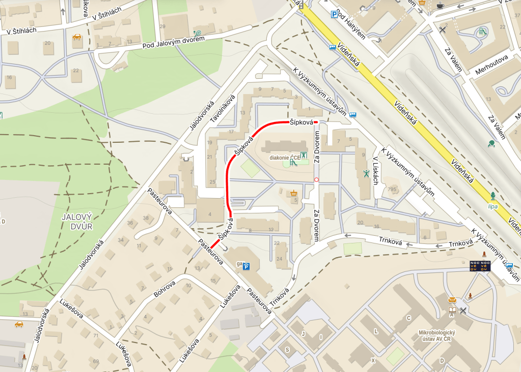
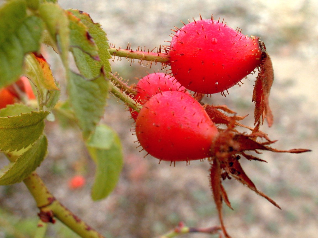
‘Šípek’ is rose hip – also known as rose haw. It’s the fleshy ‘false fruit’ of wild roses. It forms in the spring or summer, after pollination has occurred, and then ripens through to the autumn.
(‘False fruit’ apparently means that it’s a composite fruit, formed thanks to the involvement of other parts of the flower)
Rose hip is edible if you avoid eating the hairs (but they are not in any way pointless, as, for example, they can be used as itching powder). And, of course, you may have had it in herbal tea (or, if you’ve spent time in Sweden, in soup).
It has multiple uses in food – it can be a part of pies, jams, syrups and wine, for example. In the immediate region, it’s a key component of pálinka, a fruit brandy.
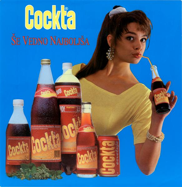
And, then, in Slovenia, it’s the main ingredient of Cockta, which is pretty much to Slovenia (and the former Yugoslavia) what Kofola is to Czech-o-Slovakia, except it doesn’t contain caffeine.
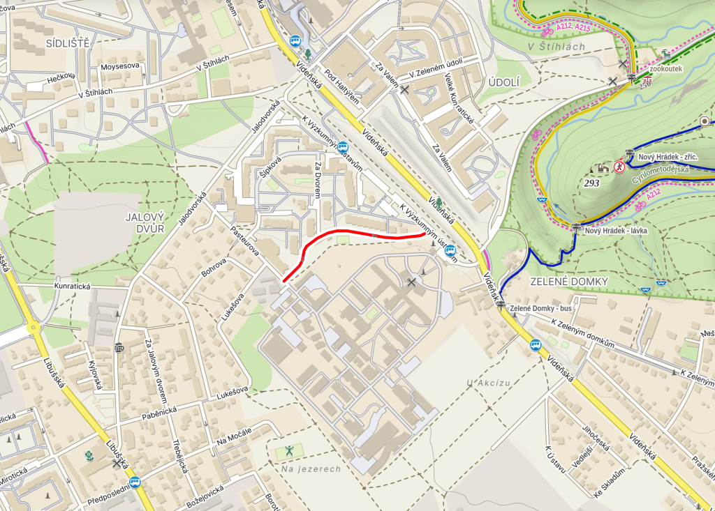
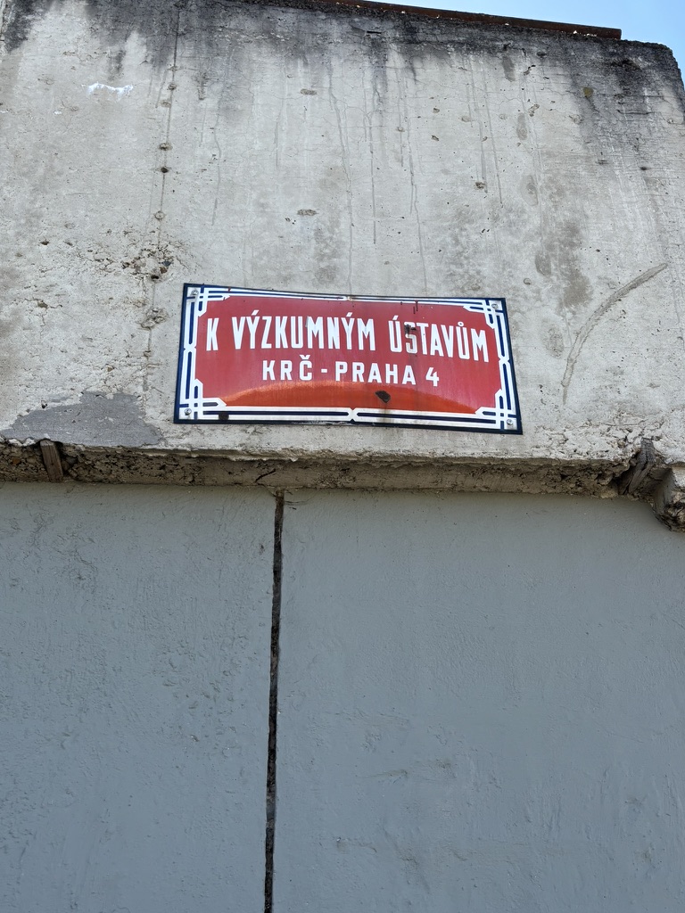
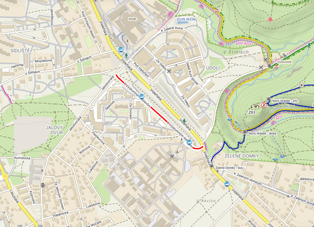
K výzkumným ústavům was built in 1973. It translates as ‘To the Research Institutes’.
In 1948, physician, microbiologist and hard-line communist Ivan Málek set up a research group at the Faculty of Medicine of Charles University in Hradec Králové.
In 1953, the Czechoslovakian Academy of Sciences (Československá akademie věd; ČSAV), and Málek’s team transferred to its Institute of Biology.
Then, in 1962, the ČAV created a separate Institute of Microbiology; this was run by Málek until 1970. During this time – specifically in 1964 – the Institute moved here, to Krč.
The early 1990s saw the number of staff at the ČAV being cut by about 50%, and, of course, becoming a member of the solely Czech Academy of Sciences with effect from 31 December 1992.
Downsizing or no downsizing, it’s still the country’s largest research facility devoting itself to research on microorganisms (bacteria / fungi / yeasts / algae) and immunology: https://mbu.cas.cz/en.
But the research institutes in the street name are plural, not singular, and so we need to jump back to 1 January 1954, when the Institute of Physiology was founded as a section of the Biological Institute of ČSAV.
Many prominent figures worked in its four departments, including Jan Bureš, the first Czech to becomee a member of the U.S. National Academy of Sciences.
A restructuring in 1980 led to the four departments being converted into three sectors (Neurosciences / Developmental Physiology / Molecular and Cellular Physiology), but these were abolished in the 1990s, when all departments were put under the Director’s supervision.
The Institute works to understand the fundamental biological mechanisms that allow serious diseases (strokes, heart disease, diabetes, neurodegenerative conditions and metabolic disorders) to develop: https://fgu.cas.cz/en/.
I was terrible at science at school. Like, really, really bad. It’s hard not to look at the work these institutes do all over the world and think that was a shame.
I’m also not a fan of the ‘OMG CZECH IS IMPOSSIBLE LOLZ’ foreigners in Prague (if you haven’t learned after twenty years, it’s because you don’t want to), but I do wonder what somebody who had rocked up here for the first time without knowing a word of Czech would make of street names like this.
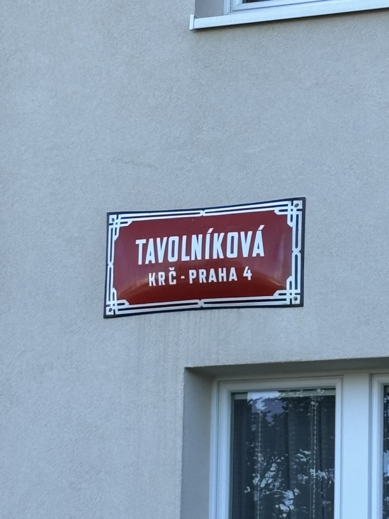
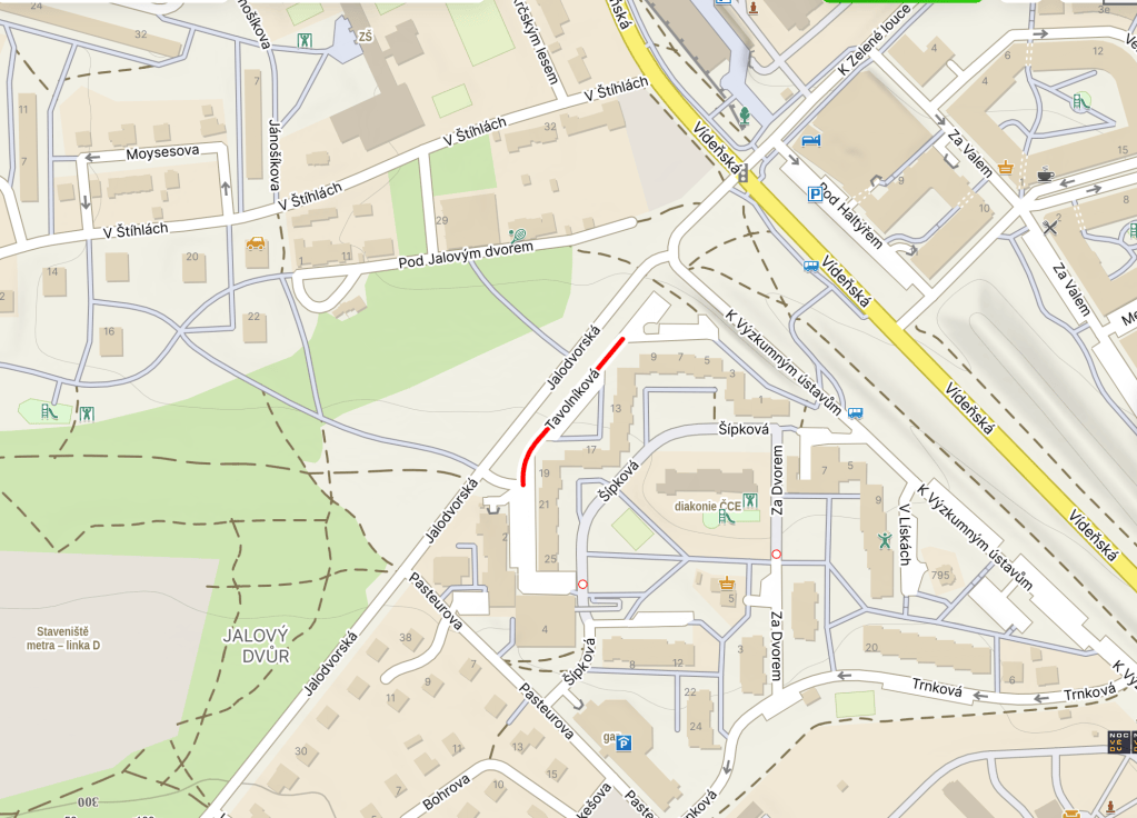
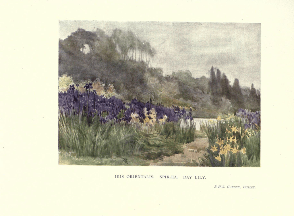
‘Tavolník’ is Czech for ‘spiraea’, also known as ‘meadowsweets’ or ‘steeplebushes’, a genus of plants belonging to the rose family.
They’re deciduous shrubs, found across the northern hemisphere, but especially in Eastern Asia. They are not generally eaten – although Native Americans used to – and are frequently used as ornamental plants.
Spiraea contain salts and/or esters of salicylic acid (C7H6O3). One genus formerly believed to fall within the spiraea family, Filipendula ulmaria (or mead wort), was the source of acetylsalicylic acid – which you might know better as ‘aspirin’, which = a(cetyl) + Spirsäure (meadowsweet in German) + -in.
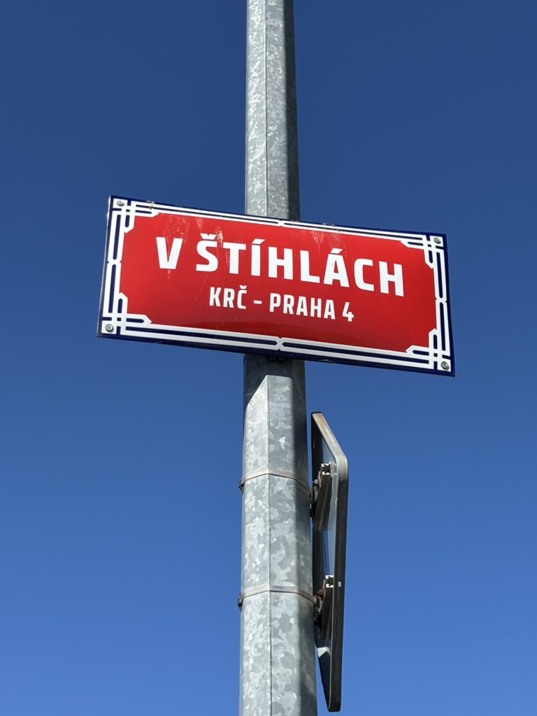
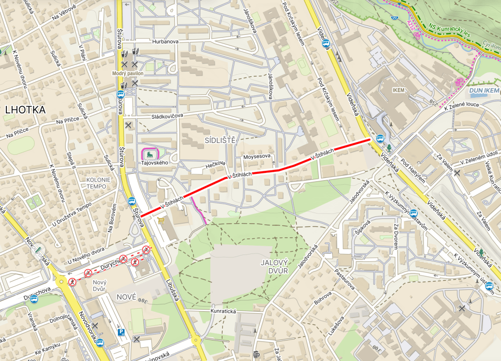
V Štíhlách was built before 1948, maybe a long time before that.
Until 1948, it was called Jeřábová, due to the rowan trees (jeřáby) growing in the area. ‘Jeřáb’ also means ‘crane’ – as in the bird and the machine – but the street was named after the tree.