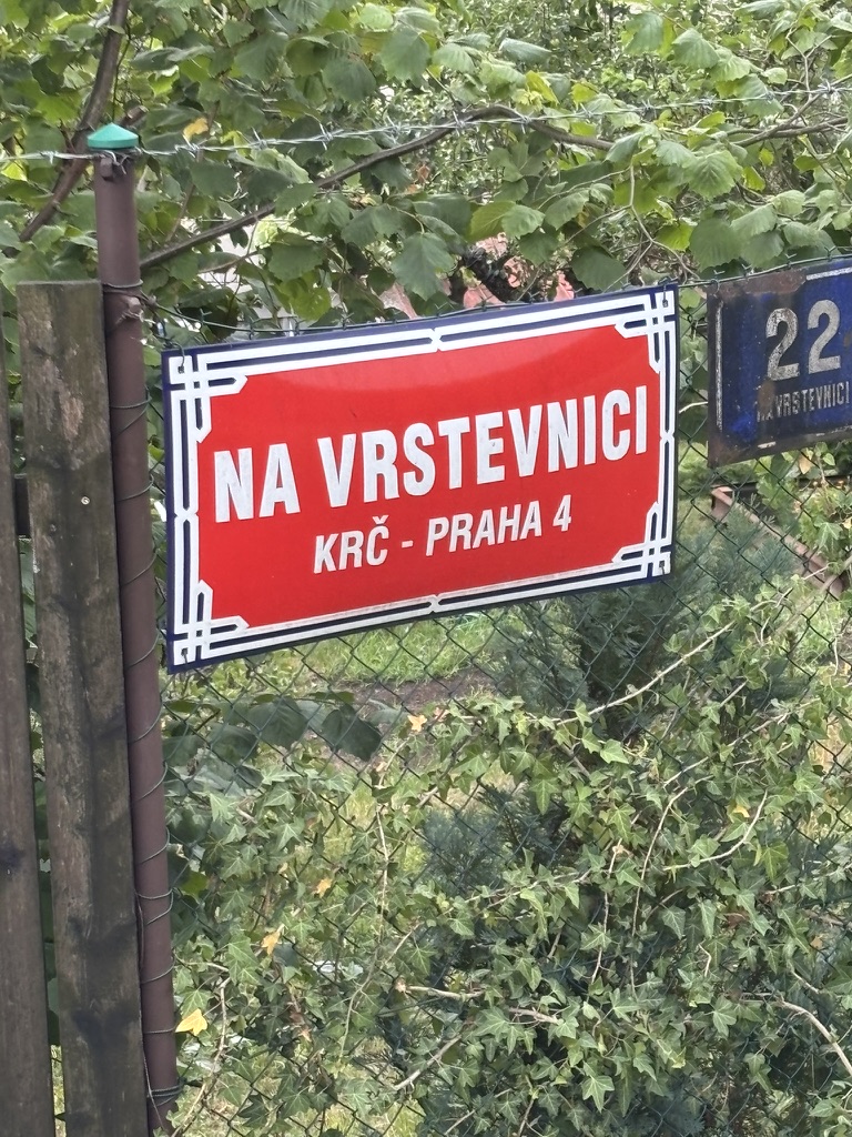
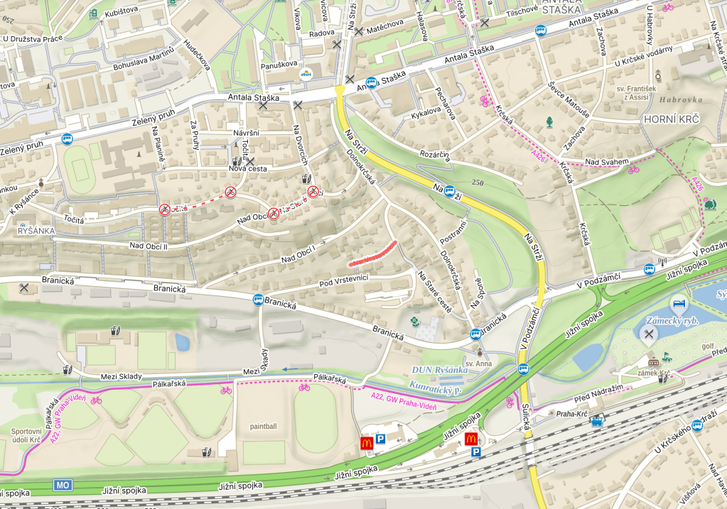
Na vrstevnici was built in 1935.
A ‘vrstevnice’ is a line on a map that connects two places of equal elevation, helping them to show the shape and height of the terrain. In other words, a contour line.
And the street is named because it’s located ‘on’ one.


Leave a Reply