Pod vrstevnicí was built in 1979.
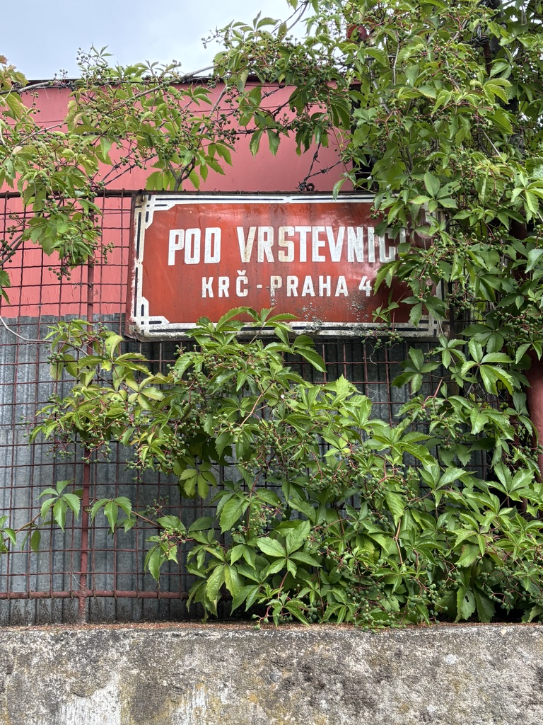
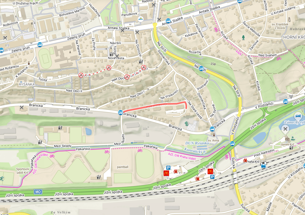
Until 1990, it shared a name with https://whatsinapraguestreetname.com/2026/07/27/prague-4-day-409-na-vrstevnici/, and is, of course, named after the same ‘vrstevnice’ / contour line.
There are several types of contour line. A basic one (základní vrstevnice) connects point which are the same height above sea level. Also, contour lines are drawn at basic intervals (intervaly).
An emphasised contour line (zdůrazněná vrstevnice) is marked with a thick line; the creator of the map may decide, for example, to have every fifth interval emphasised in this manner. A bit like when you choose to celebrate that birthday that ends in zero that little bit more.
A supplementary contour line (doplňková vrstevnice) may be added at every, say, quarter or half interval – this isn’t necessary, but can be done when the creator of the map feels they need to explain the shape of the terrain a little better. A bit like when you feel the need to say you’re [age] and a half, or and three quarters.
Finally, an auxiliary contour line (pomocná vrstevnice), which is thinner than the other lines (and usually contains interruptions) can be used in areas where the relief is unstable, often due to artificially modified terrain (such as where open mining takes place). I’m out of birthday comparisons.
The mapmaker may also wish to add spádovky (slopes) – short lines perpendicular to the contour lines, or kóty (elevations) – numbers and lines that show how high up specific parts are.
To see examples of the official topographical maps of the Czech Republic, take a peek at https://geoportal.cuzk.cz/(S(iwfcje5wwak4qxuoweidudc3))/Default.aspx?lng=EN&mode=TextMeta&text=mapy_tiskZTM&side=mapy_tiskZTM&head_tab=sekce-02-gp.
 What's in a Prague street name
Leave a comment